Skip to content
Destinations
Weather & climate
Nature
Outdoors
Culture
Events
Sky & live
Restonica
Photo: The original uploader was Altagna at French Wikipedia. · CC BY-SA 2.0 fr · Wikimedia Commons
RestonicaReport this photo · linked, not stored
Lac de Melu
Photo: Patrick Rouzet · CC BY-SA 3.0 · Wikimedia Commons
Lac de MeluReport this photo · linked, not stored
Lac de Melu
Lac de Capitellu
Photo: KlausF · CC BY 3.0 · Wikimedia Commons
Lac de CapitelluReport this photo · linked, not stored
Lac de Capitellu
Lac du Rotondu
Photo: MONNIER Briac · Public domain · Wikimedia Commons
Lac du RotonduReport this photo · linked, not stored
Lac du Rotondu
Refuge de Petra Piana
Photo: TeletubAstyanax · CC BY-SA 4.0 · Wikimedia Commons
Refuge de Petra PianaReport this photo · linked, not stored
Refuge de Petra Piana
RiverGuagno, Corsica

Restonica

RiverBest May–Jun · Sep
Elevation–above sea level
Length18 kmsource to mouth
Nearest townGuagno7.9 km
42.21° N, 9.03° EUTC+2 · Central European Summer Time
When to goGuagno · weather score
JanFebMarAprMayJunJulAugSepOctNovDec75October
Best timeMay–Jun · Sep
October: high / low19° / 9°
River

Restonica in brief

Restonica is a river in Guagno, Corsica, France.

The nearest town in the atlas is Guagno, 7.9 km to the SW, where the weather is best in May, June and September.

Restonica is 18 km long.

Guagno: weather and travel guide

Weather nearby now

Forecast for Guagno
13°
Cloudy now
Wind12 km/h
Humidity72%
Cloud cover94%
Today
22 Oct
15°
8°
Fri
23 Oct
16°
9°
4 mm
Sat
24 Oct
13°
7°
Sun
25 Oct
15°
7°
Mon
26 Oct
21°
9°

Model run 00:00 UTCRefreshed several times a day

The course of the river

As mapped in OpenStreetMap, with the towns of the atlas along its banks.
1
  1. 1Corte433 m
sourcemouth (or where the mapped line leaves the country)
When to go

The best months around Restonica

Climate of Guagno

Month score in Guagno

Comfort, dry days and sunshine · out of 100
30
Jan
34
Feb
49
Mar
68
Apr
83
May
89
Jun
81
Jul
77
Aug
82
Sep
75
Oct
41
Nov
27
Dec
Map

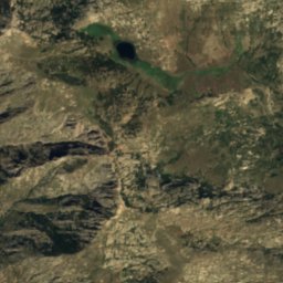
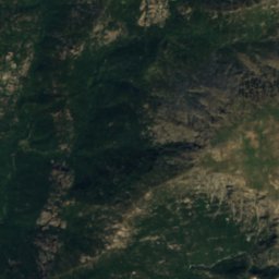
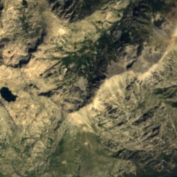
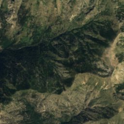
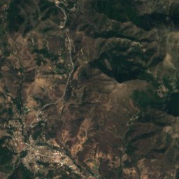
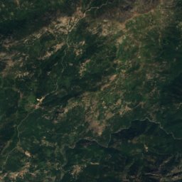
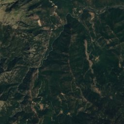
Restonica from above

Nature nearbyAll of France
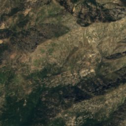
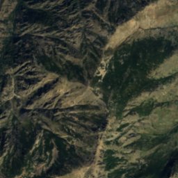
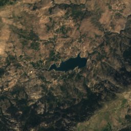
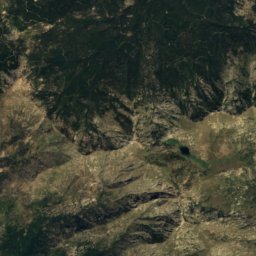
Satellite: Sentinel-2 cloudless 2016 by EOX IT Services GmbH · CC BY 4.0 · Contains modified Copernicus Sentinel data 2016
Lac de SogliaLake0.5 kmWLac de Soglia
Photo: Patrick Rouzet · CC BY-SA 3.0 · Wikimedia CommonsReport this photo · linked, not stored
Lac de MeluLake0.8 kmNWLac de Melu
Photo: KlausF · CC BY 3.0 · Wikimedia CommonsReport this photo · linked, not stored
Lac de CapitelluLake1.5 kmNWLac de Capitellu
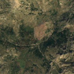
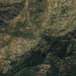
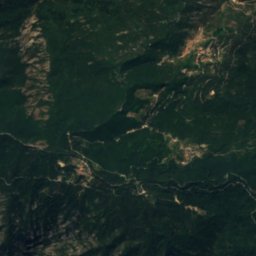
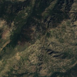
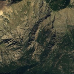
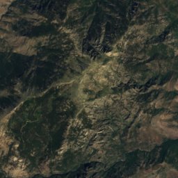
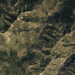
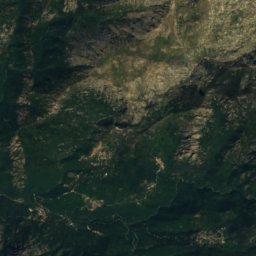
Satellite: Sentinel-2 cloudless 2016 by EOX IT Services GmbH · CC BY 4.0 · Contains modified Copernicus Sentinel data 2016
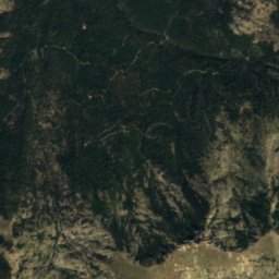
lac de cavaccioleLake1.7 kmNElac de cavacciole
Photo: MONNIER Briac · Public domain · Wikimedia CommonsReport this photo · linked, not stored
Lac du RotonduLake2.2 kmELac du Rotondu
Photo: TeletubAstyanax · CC BY-SA 4.0 · Wikimedia CommonsReport this photo · linked, not stored
Refuge de Petra PianaMountain hut2.2 kmSERefuge de Petra Piana
Summits nearbyMountains of France
Photo: Chabe01 · CC BY-SA 4.0 · Wikimedia CommonsReport this photo · linked, not stored
Monte Cinto20 km N2,706 mJuly 13°Monte Cinto
Photo: Pierre Bona · CC BY-SA 4.0 · Wikimedia CommonsReport this photo · linked, not stored
Mount Rotondo2.6 km E2,625 mJuly 14°Mount Rotondo
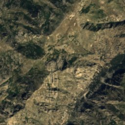
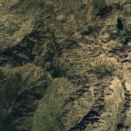
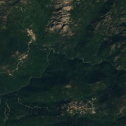
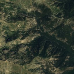
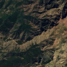
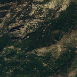
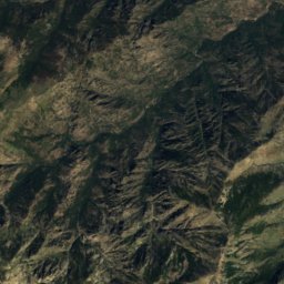
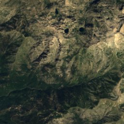
Satellite: Sentinel-2 cloudless 2016 by EOX IT Services GmbH · CC BY 4.0 · Contains modified Copernicus Sentinel data 2016
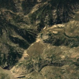
Punta Mufrena2.4 km NE2,590 mJuly 14°Punta Mufrena
Photo: Amada44 · CC BY 3.0 · Wikimedia CommonsReport this photo · linked, not stored
Capo al Berdato21 km N2,583 mJuly 14°Capo al Berdato
Photo: Pierre Bona · CC BY-SA 3.0 · Wikimedia CommonsReport this photo · linked, not stored
Capo Bianco22 km N2,562 mJuly 14°Capo Bianco
Photo: Ceky ; Site internet : Paglia Orba · CC BY-SA 3.0 · Wikimedia CommonsReport this photo · linked, not stored
Punta Minuta21 km NW2,556 mJuly 14°Punta Minuta
Stay nearby

Towns close by

Guagno
Photo: Vulpachjinu · CC BY-SA 4.0 · Wikimedia CommonsReport this photo · linked, not stored

Guagno

Corsica · 7.9 km SW
19°Oct high
10wet days
75score
Guagno
Pastricciola
Photo: Ruglianincu-esiliatu · CC BY-SA 3.0 · Wikimedia CommonsReport this photo · linked, not stored

Pastricciola

Corsica · 8.3 km SW
21°Oct high
10wet days
75score
Pastricciola
Soccia
Photo: TeletubAstyanax · CC BY-SA 4.0 · Wikimedia CommonsReport this photo · linked, not stored

Soccia

Corsica · 10 km W
19°Oct high
10wet days
75score
Soccia
Rezza
Photo: Laurentg000059 · CC BY-SA 4.0 · Wikimedia CommonsReport this photo · linked, not stored

Rezza

Corsica · 11 km SW
21°Oct high
10wet days
74score
Rezza
Around here

Guagno and around

Guagno
Photo: Vulpachjinu · CC BY-SA 4.0 · Wikimedia CommonsReport this photo · linked, not stored

Guagno

Corsica · France
May–Jun · Sepbest months
28°July high
749 maltitude
Guagno

Nature

Tavignano
Photo: Pierre Bona · CC BY-SA 3.0 · Wikimedia CommonsReport this photo · linked, not stored
9.7 km N

Tavignano

River
Tavignano
Lac de Melu
Photo: Patrick Rouzet · CC BY-SA 3.0 · Wikimedia CommonsReport this photo · linked, not stored
7.9 km NE

Lac de Melu

Lake · 1,710 m
Lac de Melu
Lac du Rotondu
Photo: MONNIER Briac · Public domain · Wikimedia CommonsReport this photo · linked, not stored
10 km NE

Lac du Rotondu

Lake · 2,321 m
Lac du Rotondu

Mountains

Monte Cinto
Photo: Chabe01 · CC BY-SA 4.0 · Wikimedia CommonsReport this photo · linked, not stored
24 km N

Monte Cinto

2,706 m · Monte Cinto massif
Monte Cinto
Mount Rotondo
Photo: Pierre Bona · CC BY-SA 4.0 · Wikimedia CommonsReport this photo · linked, not stored
11 km NE

Mount Rotondo

2,625 m · Monte Rotondo massif
Mount Rotondo
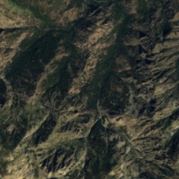
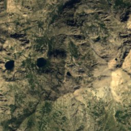
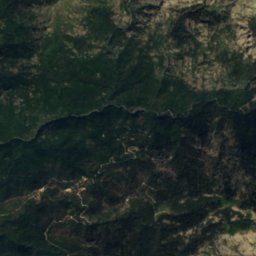
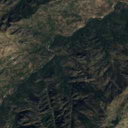
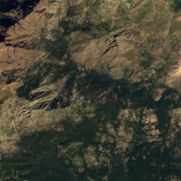
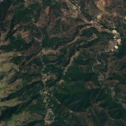
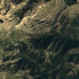
Satellite: Sentinel-2 cloudless 2016 by EOX IT Services GmbH · CC BY 4.0 · Contains modified Copernicus Sentinel data 2016
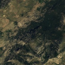
10 km NE

Punta Mufrena

2,590 m
Punta Mufrena

Heritage

Statue-menhir de Tavera
Photo: Image:Filitosa AnthropomorpheI.jpg · CC BY-SA 3.0 · Wikimedia CommonsReport this photo · linked, not stored
11 km S

Statue-menhir de Tavera

classified historical monument
Statue-menhir de Tavera
Stantara d'Apricciani
Photo: Img · Public domain · Wikimedia CommonsReport this photo · linked, not stored
13 km W

Stantara d'Apricciani

classified historical monument
Stantara d'Apricciani