
Photo: refuge info · CC BY-SA 2.0 fr · Wikimedia Commons
Refuge Adèle PlanchardReport this photo · linked, not stored
Refuge Adèle PlanchardReport this photo · linked, not stored
 Refuge du Pavé

Photo: Rémih · CC BY-SA 4.0 · Wikimedia Commons
Glacier Supérieur du LautaretReport this photo · linked, not stored
Glacier Supérieur du LautaretGlacier Supérieur du LautaretReport this photo · linked, not stored

Photo: O.Taris · CC BY-SA 4.0 · Wikimedia Commons
Refuge du ChatelleretReport this photo · linked, not stored
Refuge du ChatelleretRefuge du ChatelleretReport this photo · linked, not stored

Photo: Francofranco56 · Public domain · Wikimedia Commons
Refuge des ÉcrinsReport this photo · linked, not stored
Refuge des ÉcrinsRefuge des ÉcrinsReport this photo · linked, not stored
Mountain hutVillar-d'Arêne, Provence-Alpes-Côte d'Azur
Refuge Adèle Planchard
Mountain hut3,169 m elevationBest Jun–Aug
Elevation3,169 mabove sea level
Area–surface
Nearest townVillar-d'Arêne8.3 km
44.97° N, 6.35° EElevation 3,169 mUTC+2 · Central European Summer Time
When to goVillar-d'Arêne · weather score
Best timeJun–Aug
October: high / low12° / 2°
Mountain hut
Refuge Adèle Planchard in brief
Refuge Adèle Planchard is a mountain hut in Villar-d'Arêne, Provence-Alpes-Côte d'Azur, France.
It lies at 3,169 m above sea level.
The nearest town in the atlas is Villar-d'Arêne, 8.3 km to the N, where the weather is best in June, July and August.
Weather nearby now
Forecast for Villar-d'Arêne6°
Cloudy now
Today
22 Oct
6°
-6°
Fri
23 Oct
5°
0°
11 mm
Sat
24 Oct
2°
0°
3 mm
Sun
25 Oct
8°
2°
9 mm
Mon
26 Oct
12°
0°
Model run 00:00 UTCRefreshed several times a day
When to go
Climate of Villar-d'ArêneThe best months around Refuge Adèle Planchard
Month score in Villar-d'Arêne
Comfort, dry days and sunshine · out of 10026
Jan
30
Feb
24
Mar
22
Apr
39
May
65
Jun
67
Jul
68
Aug
57
Sep
35
Oct
24
Nov
25
Dec
Map
Refuge Adèle Planchard from above
Nature nearbyAll of France
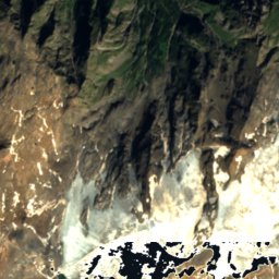
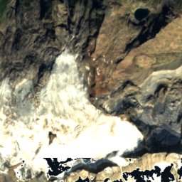
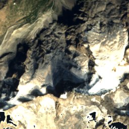
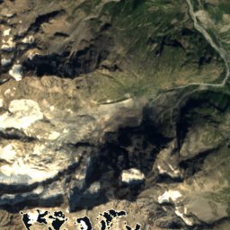
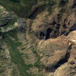
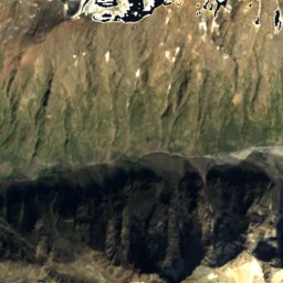
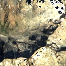
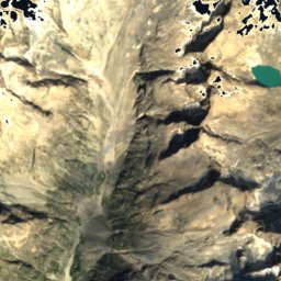
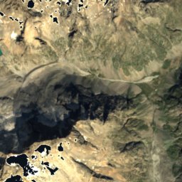
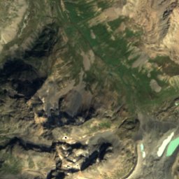
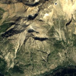
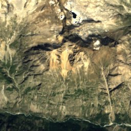
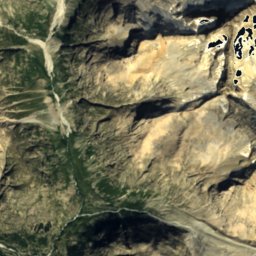
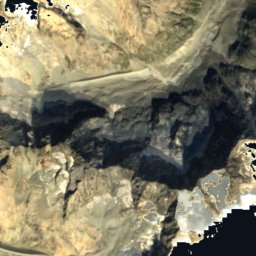
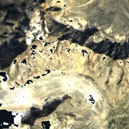
Satellite: Sentinel-2 cloudless 2016 by EOX IT Services GmbH · CC BY 4.0 · Contains modified Copernicus Sentinel data 2016


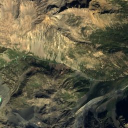
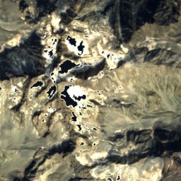
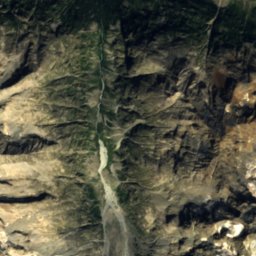
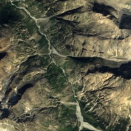
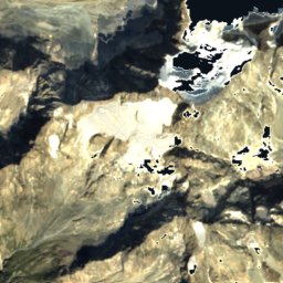
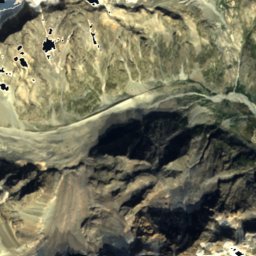
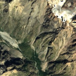
Satellite: Sentinel-2 cloudless 2016 by EOX IT Services GmbH · CC BY 4.0 · Contains modified Copernicus Sentinel data 2016
Summits nearbyMountains of France

Photo: © Günter Seggebäing, CC BY-SA 3.0 · CC BY-SA 3.0 · Wikimedia CommonsReport this photo · linked, not stored

Photo: The original uploader was Eltouristo at French Wikipedia. · CC BY-SA 3.0 · Wikimedia CommonsReport this photo · linked, not stored


Photo: Original uploader was Eltouristo at fr.wikipedia · CC BY-SA 3.0 · Wikimedia CommonsReport this photo · linked, not stored

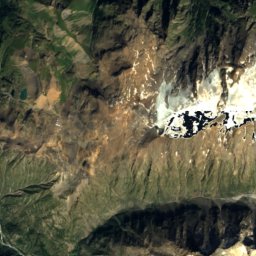
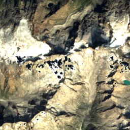
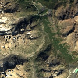
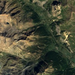
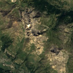
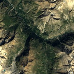
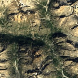
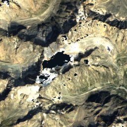
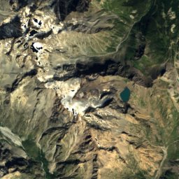
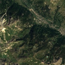
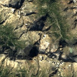
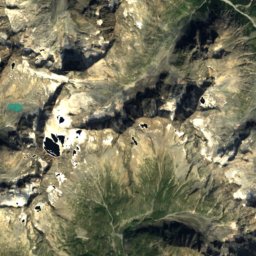
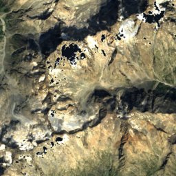
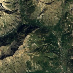
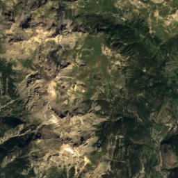
Satellite: Sentinel-2 cloudless 2016 by EOX IT Services GmbH · CC BY 4.0 · Contains modified Copernicus Sentinel data 2016
Stay nearby
Towns close by


Le Monêtier-les-Bains
Provence-Alpes-Côte d'Azur · 13 km E
13°Oct high
10wet days
44score

Photo: Unknown authorUnknown author · Public domain · Wikimedia CommonsReport this photo · linked, not stored
Saint-Christophe-en-Oisans
Auvergne-Rhône-Alpes · 13 km W
13°Oct high
12wet days
45score
Around here
Villar-d'Arêne and around

Villar-d'Arêne
Provence-Alpes-Côte d'Azur · France
Jun–Augbest months
21°July high
1,650 maltitude
Nature


Mountains

Photo: © Günter Seggebäing, CC BY-SA 3.0 · CC BY-SA 3.0 · Wikimedia CommonsReport this photo · linked, not stored
Barre des Écrins
4,102 m

Photo: The original uploader was Eltouristo at French Wikipedia. · CC BY-SA 3.0 · Wikimedia CommonsReport this photo · linked, not stored
Dôme de Neige des Écrins
4,015 m

Heritage

Église Notre-Dame-de-l'Assomption de La Grave
listed in the general inventory of cultural heritage

Church of St Peter and St Paul of the Hières
monument historique inscrit


