Skip to content
Destinations
Weather & climate
Nature
Outdoors
Culture
Events
Sky & live
Radenec
Photo: Rosescreen · CC BY-SA 3.0 · Wikimedia Commons
RadenecReport this photo · linked, not stored
île Longue, Brittany
Photo: Matthieu FAURE · CC BY-SA 2.0 · Wikimedia Commons
île Longue, BrittanyReport this photo · linked, not stored
île Longue, Brittany
Er Runio
Photo: Rosescreen · CC BY-SA 3.0 · Wikimedia Commons
Er RunioReport this photo · linked, not stored
Er Runio
Petit Veïzit
Photo: Fab5669 · CC BY-SA 4.0 · Wikimedia Commons
Petit VeïzitReport this photo · linked, not stored
Petit Veïzit
Gavrinis
Photo: Pierre F631 · CC BY-SA 4.0 · Wikimedia Commons
GavrinisReport this photo · linked, not stored
Gavrinis
IslandLarmor-Baden, Brittany

Radenec

Island11 m elevationBest Jun · Aug–Sep
Elevation11 mabove sea level
Area–surface
Nearest townLarmor-Baden1.5 km
47.58° N, 2.91° WElevation 11 mUTC+2 · Central European Summer Time
When to goLarmor-Baden · weather score
JanFebMarAprMayJunJulAugSepOctNovDec59October
Best timeJun · Aug–Sep
October: high / low17° / 11°
Island

Radenec in brief

Radenec is an island in Larmor-Baden, Brittany, France.

It lies at 11 m above sea level.

The nearest town in the atlas is Larmor-Baden, 1.5 km to the NE, where the weather is best in June, August and September.

Larmor-Baden: weather and travel guide

Weather nearby now

Forecast for Larmor-Baden
15°
Rain now
Wind36 km/h
Humidity82%
Cloud cover100%
Today
22 Oct
17°
12°
14 mm
Fri
23 Oct
17°
11°
5 mm
Sat
24 Oct
17°
12°
3 mm
Sun
25 Oct
17°
12°
4 mm
Mon
26 Oct
17°
12°
5 mm

Model run 00:00 UTCRefreshed several times a day

When to go

The best months around Radenec

Climate of Larmor-Baden

Month score in Larmor-Baden

Comfort, dry days and sunshine · out of 100
18
Jan
28
Feb
40
Mar
59
Apr
69
May
76
Jun
75
Jul
77
Aug
79
Sep
59
Oct
36
Nov
20
Dec
Map

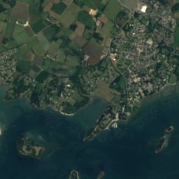
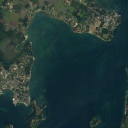
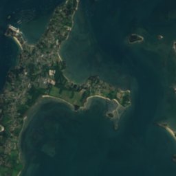
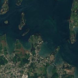
Radenec from above

Nature nearbyAll of France
Photo: Matthieu FAURE · CC BY-SA 2.0 · Wikimedia CommonsReport this photo · linked, not stored
île Longue, BrittanyIsland0.8 kmSEîle Longue, Brittany
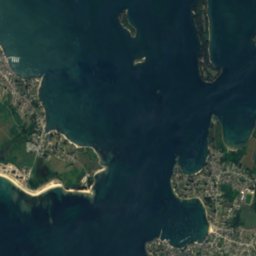
Satellite: Sentinel-2 cloudless 2016 by EOX IT Services GmbH · CC BY 4.0 · Contains modified Copernicus Sentinel data 2016
Grand VeïzitIsland0.8 kmSWGrand Veïzit
Photo: Rosescreen · CC BY-SA 3.0 · Wikimedia CommonsReport this photo · linked, not stored
Er RunioIsland1.1 kmWEr Runio
Photo: Fab5669 · CC BY-SA 4.0 · Wikimedia CommonsReport this photo · linked, not stored
Petit VeïzitIsland1.1 kmSWPetit Veïzit
Photo: Pierre F631 · CC BY-SA 4.0 · Wikimedia CommonsReport this photo · linked, not stored
GavrinisIsland1.3 kmSEGavrinis
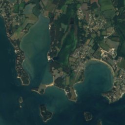
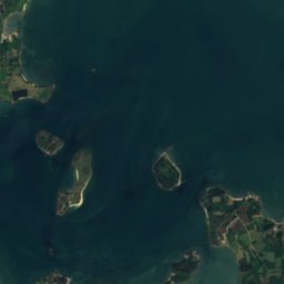
Satellite: Sentinel-2 cloudless 2016 by EOX IT Services GmbH · CC BY 4.0 · Contains modified Copernicus Sentinel data 2016
Le GréganIsland1.4 kmSLe Grégan
Stay nearby

Towns close by

Larmor-Baden
Photo: Damien Boilley · CC BY 2.0 · Wikimedia CommonsReport this photo · linked, not stored

Larmor-Baden

Brittany · 1.5 km NE
17°Oct high
14wet days
59score
Larmor-Baden
Locmariaquer
Photo: Jean-Charles GUILLO · Public domain · Wikimedia CommonsReport this photo · linked, not stored

Locmariaquer

Brittany · 2.6 km SW
17°Oct high
14wet days
59score
Locmariaquer
Arzon
Photo: Fab5669 · CC BY-SA 3.0 · Wikimedia CommonsReport this photo · linked, not stored

Arzon

Brittany · 3.5 km S
17°Oct high
14wet days
59score
Arzon
Baden
Photo: Vassil · Public domain · Wikimedia CommonsReport this photo · linked, not stored

Baden

Brittany · 4.5 km N
17°Oct high
14wet days
59score
Baden
Around here

Larmor-Baden and around

Larmor-Baden
Photo: Damien Boilley · CC BY 2.0 · Wikimedia CommonsReport this photo · linked, not stored

Larmor-Baden

Brittany · France
Jun · Aug–Sepbest months
23°July high
12 maltitude
Larmor-Baden

Nature

Rivière d'Auray
Photo: William M. Connolley at the English-language Wikipedia · CC BY-SA 3.0 · Wikimedia CommonsReport this photo · linked, not stored
3.3 km W

Rivière d'Auray

River
Rivière d'Auray
rivière du Bono
Photo: Toubabmaster · CC BY-SA 3.0 · Wikimedia CommonsReport this photo · linked, not stored
7.3 km NW

rivière du Bono

River · 11 m
rivière du Bono
Vincin
Photo: Stéphane Batigne · CC BY-SA 3.0 · Wikimedia CommonsReport this photo · linked, not stored
9.9 km NE

Vincin

River
Vincin

Mountains

Côte de Cadoudal
Photo: XIIIfromTOKYO · CC BY-SA 3.0 · Wikimedia CommonsReport this photo · linked, not stored
33 km NE

Côte de Cadoudal

156 m · Landes de Lanvaux
Côte de Cadoudal

Heritage

cairn de Gavrinis
Photo: Photo: Myrabella / Wikimedia Commons · CC BY-SA 3.0 · Wikimedia CommonsReport this photo · linked, not stored
1.7 km S

cairn de Gavrinis

part of UNESCO World Heritage Site
cairn de Gavrinis
demeure Sainte-Anne
Photo: Ji-Elle · CC BY-SA 3.0 · Wikimedia CommonsReport this photo · linked, not stored
1.2 km SE

demeure Sainte-Anne

listed in the general inventory of cultural heritage · 1880
demeure Sainte-Anne
château de Toulvern
Photo: J gaffiot · CC0 · Wikimedia CommonsReport this photo · linked, not stored
2.2 km W

château de Toulvern

listed in the general inventory of cultural heritage · 1900
château de Toulvern

Museums

Prehistoric museum
Photo: Riottoso · CC BY-SA 4.0 · Wikimedia CommonsReport this photo · linked, not stored
14 km W

Prehistoric museum

1882
Prehistoric museum
Musée de la Cohue
Photo: Fab5669 · CC BY-SA 3.0 · Wikimedia CommonsReport this photo · linked, not stored
13 km NE

Musée de la Cohue

Art museum
Musée de la Cohue
Maison des Mégalithes
Photo: Lionel Allorge · CC BY-SA 3.0 · Wikimedia CommonsReport this photo · linked, not stored
14 km W

Maison des Mégalithes

Maison des Mégalithes