Skip to content
Destinations
Weather & climate
Nature
Outdoors
Culture
Events
Sky & live
Pot Deux
Photo: © Gilbert Bohec / Wikimedia Commons · CC BY-SA 4.0 · Wikimedia Commons
Pot DeuxReport this photo · linked, not stored
Antre des Damnés
Photo: © Gilbert Bohec / Wikimedia Commons · CC BY-SA 4.0 · Wikimedia Commons
Antre des DamnésReport this photo · linked, not stored
Antre des Damnés
Scialet de la Combe de Fer
Photo: © Gilbert Bohec / Wikimedia Commons · CC BY-SA 4.0 · Wikimedia Commons
Scialet de la Combe de FerReport this photo · linked, not stored
Scialet de la Combe de Fer
Moulin-Marquis Fall
Photo: Plotchiplotch · CC BY-SA 4.0 · Wikimedia Commons
Moulin-Marquis FallReport this photo · linked, not stored
Moulin-Marquis Fall
Bournillon Cave
Photo: © Gilbert Bohec / Wikimedia Commons · CC BY-SA 4.0 · Wikimedia Commons
Bournillon CaveReport this photo · linked, not stored
Bournillon Cave
CaveChâteau-Bernard, Auvergne-Rhône-Alpes

Pot Deux

CaveBest Jul–Sep
Elevation–above sea level
Inside9°Call year
Nearest townChâteau-Bernard4.7 km
44.96° N, 5.52° EUTC+2 · Central European Summer Time
When to goChâteau-Bernard · weather score
JanFebMarAprMayJunJulAugSepOctNovDec53October
Best timeJul–Sep
October: high / low15° / 5°
Cave

Pot Deux in brief

Pot Deux is a cave in Château-Bernard, Auvergne-Rhône-Alpes, France.

The nearest town in the atlas is Château-Bernard, 4.7 km to the E, where the weather is best in July, August and September.

Inside, a cave stays close to the average yearly air temperature outside: about 9°C all year.

Château-Bernard: weather and travel guide

Weather nearby now

Forecast for Château-Bernard
12°
Cloudy now
Wind5 km/h
Humidity48%
Cloud cover94%
Today
22 Oct
13°
2°
Fri
23 Oct
12°
5°
6 mm
Sat
24 Oct
9°
3°
1 mm
Sun
25 Oct
15°
4°
7 mm
Mon
26 Oct
17°
8°
1 mm

Model run 00:00 UTCRefreshed several times a day

When to go

The best months around Pot Deux

Climate of Château-Bernard

Month score in Château-Bernard

Comfort, dry days and sunshine · out of 100
27
Jan
31
Feb
28
Mar
47
Apr
61
May
74
Jun
78
Jul
78
Aug
77
Sep
53
Oct
24
Nov
23
Dec
Map

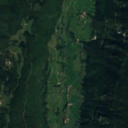
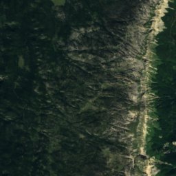
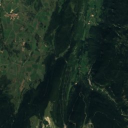
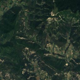
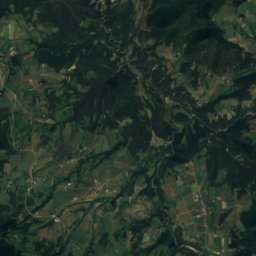
Pot Deux from above

Nature nearbyAll of France
Photo: © Gilbert Bohec / Wikimedia Commons · CC BY-SA 4.0 · Wikimedia CommonsReport this photo · linked, not stored
Antre des DamnésCave2.2 kmNAntre des Damnés
Photo: © Gilbert Bohec / Wikimedia Commons · CC BY-SA 4.0 · Wikimedia CommonsReport this photo · linked, not stored
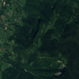
Scialet de la Combe de FerCave3.9 kmNScialet de la Combe de Fer
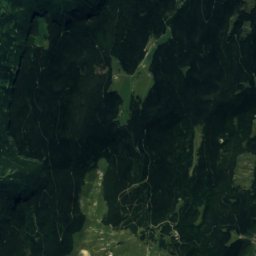
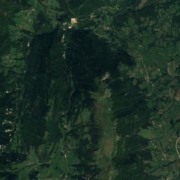
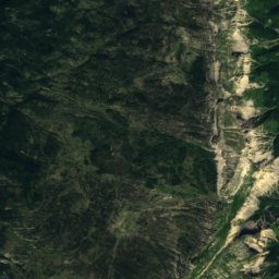
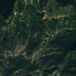
Satellite: Sentinel-2 cloudless 2016 by EOX IT Services GmbH · CC BY 4.0 · Contains modified Copernicus Sentinel data 2016
Draye Blanche caveCave11 kmWDraye Blanche cave
Photo: Plotchiplotch · CC BY-SA 4.0 · Wikimedia CommonsReport this photo · linked, not stored
Moulin-Marquis FallWaterfall12 kmNWMoulin-Marquis Fall
Photo: © Gilbert Bohec / Wikimedia Commons · CC BY-SA 4.0 · Wikimedia CommonsReport this photo · linked, not stored
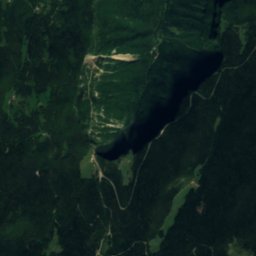
Bournillon CaveCave12 kmNWBournillon Cave
Photo: © Gilbert Bohec / Wikimedia Commons · CC BY-SA 4.0 · Wikimedia CommonsReport this photo · linked, not stored
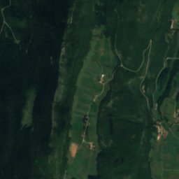
Favot caveCave13 kmNFavot cave
Summits nearbyMountains of France
Photo: Nouill · CC BY-SA 4.0 · Wikimedia CommonsReport this photo · linked, not stored
Grand Veymont10 km S2,341 mJuly 15°Grand Veymont
Photo: Gemini1980 · Public domain · Wikimedia CommonsReport this photo · linked, not stored
La Grande Moucherolle5.9 km NE2,284 mJuly 15°La Grande Moucherolle
Photo: Jvillafruela · CC BY-SA 4.0 · Wikimedia CommonsReport this photo · linked, not stored
Grande Sœur Agathe6.2 km NE2,193 mJuly 15°Grande Sœur Agathe
Photo: Jvillafruela · CC BY-SA 4.0 · Wikimedia CommonsReport this photo · linked, not stored
Petite Sœur Sophie6.8 km NE2,162 mJuly 15°Petite Sœur Sophie
Photo: Maarten Sepp · CC BY-SA 3.0 · Wikimedia CommonsReport this photo · linked, not stored
Le Grand Serre25 km E2,141 mJuly 15°Le Grand Serre
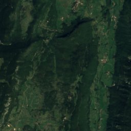
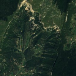
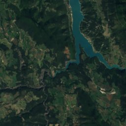
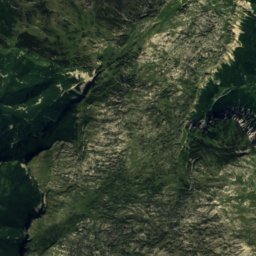
Satellite: Sentinel-2 cloudless 2016 by EOX IT Services GmbH · CC BY 4.0 · Contains modified Copernicus Sentinel data 2016
Le Petit Veymont11 km S2,120 mJuly 16°Le Petit Veymont
Stay nearby

Towns close by

Château-Bernard
Photo: Ghislain Mary · CC BY-SA 2.0 · Wikimedia CommonsReport this photo · linked, not stored

Château-Bernard

Auvergne-Rhône-Alpes · 4.7 km E
15°Oct high
11wet days
53score
Château-Bernard
Saint-Guillaume
Photo: Eclipse17 · CC BY-SA 3.0 · Wikimedia CommonsReport this photo · linked, not stored

Saint-Guillaume

Auvergne-Rhône-Alpes · 5.6 km E
16°Oct high
11wet days
61score
Saint-Guillaume
Saint-Agnan-en-Vercors
Photo: Jerome Bon · CC BY 2.0 · Wikimedia CommonsReport this photo · linked, not stored

Saint-Agnan-en-Vercors

Auvergne-Rhône-Alpes · 7.5 km SW
16°Oct high
11wet days
57score
Saint-Agnan-en-Vercors
Corrençon-en-Vercors
Photo: CORLIN · CC BY-SA 3.0 · Wikimedia CommonsReport this photo · linked, not stored

Corrençon-en-Vercors

Auvergne-Rhône-Alpes · 7.5 km N
14°Oct high
11wet days
47score
Corrençon-en-Vercors
Around here

Château-Bernard and around

Château-Bernard
Photo: Ghislain Mary · CC BY-SA 2.0 · Wikimedia CommonsReport this photo · linked, not stored

Château-Bernard

Auvergne-Rhône-Alpes · France
Jul–Sepbest months
24°July high
907 maltitude
Château-Bernard

Nature

Lac de Monteynard-Avignonet
Photo: Carsten Steger · CC BY-SA 4.0 · Wikimedia CommonsReport this photo · linked, not stored
8.9 km E

Lac de Monteynard-Avignonet

Lake · 490 m
Lac de Monteynard-Avignonet
Lac de Notre-Dame-de-Commiers
Photo: Jvillafruela · CC BY-SA 4.0 · Wikimedia CommonsReport this photo · linked, not stored
8.9 km E

Lac de Notre-Dame-de-Commiers

Lake · 363 m
Lac de Notre-Dame-de-Commiers
Scialet de la Combe de Fer
Photo: © Gilbert Bohec / Wikimedia Commons · CC BY-SA 4.0 · Wikimedia CommonsReport this photo · linked, not stored
4.4 km NW

Scialet de la Combe de Fer

Cave
Scialet de la Combe de Fer

Mountains

Pic du Clapier du Peyron
Photo: Zarelia Choutime · CC BY-SA 3.0 · Wikimedia CommonsReport this photo · linked, not stored
40 km E

Pic du Clapier du Peyron

3,169 m
Pic du Clapier du Peyron
Le Rochail
Photo: Gemini1980 · CC BY-SA 3.0 · Wikimedia CommonsReport this photo · linked, not stored
36 km E

Le Rochail

3,022 m · Massif des Écrins
Le Rochail
Pointe de Confolens
Photo: Rémih · CC BY-SA 4.0 · Wikimedia CommonsReport this photo · linked, not stored
36 km E

Pointe de Confolens

2,990 m · Massif des Écrins
Pointe de Confolens

Heritage

Église Notre-Dame de Genevrey
Photo: Jvillafruela · CC BY-SA 3.0 · Wikimedia CommonsReport this photo · linked, not stored
8.5 km NE

Église Notre-Dame de Genevrey

classified historical monument
Église Notre-Dame de Genevrey
château de Bardonenche
Photo: CORLIN · CC BY-SA 4.0 · Wikimedia CommonsReport this photo · linked, not stored
7.8 km SE

château de Bardonenche

monument historique inscrit
château de Bardonenche
Croix du cimetière de Genevrey
Photo: Bourrel · CC BY-SA 3.0 · Wikimedia CommonsReport this photo · linked, not stored
8.5 km NE

Croix du cimetière de Genevrey

classified historical monument
Croix du cimetière de Genevrey

Museums

Champollion Museum
Photo: Julien Peytard · CC BY-SA 4.0 · Wikimedia CommonsReport this photo · linked, not stored
11 km NE

Champollion Museum

2004
Champollion Museum
Heritage House of Villard-de-Lans
Photo: CORLIN · CC BY-SA 3.0 · Wikimedia CommonsReport this photo · linked, not stored
11 km N

Heritage House of Villard-de-Lans

Heritage House of Villard-de-Lans
La Mine image
Photo: Jvillafruela · CC BY-SA 3.0 · Wikimedia CommonsReport this photo · linked, not stored
13 km E

La Mine image

1995
La Mine image