Skip to content
Destinations
Weather & climate
Nature
Outdoors
Culture
Events
Sky & live
Penfeld
Photo: Julien Carnot · CC BY-SA 2.5 · Wikimedia Commons
PenfeldReport this photo · linked, not stored
Abri Sadi-Carnot
Photo: G.Mannaerts · CC BY-SA 4.0 · Wikimedia Commons
Abri Sadi-CarnotReport this photo · linked, not stored
Abri Sadi-Carnot
La Cormorandière
Photo: Michael Rapp · CC BY-SA 3.0 · Wikimedia Commons
La CormorandièreReport this photo · linked, not stored
La Cormorandière
Île Ronde, Brest
Photo: Larvor · CC BY-SA 3.0 · Wikimedia Commons
Île Ronde, BrestReport this photo · linked, not stored
Île Ronde, Brest
RiverBrest, Brittany

Penfeld

RiverBest Jun–Jul · Sep
Elevation–above sea level
Length16 kmsource to mouth
Nearest townBrest1.5 km
48.38° N, 4.49° WUTC+2 · Central European Summer Time
When to goBrest · weather score
JanFebMarAprMayJunJulAugSepOctNovDec53October
Best timeJun–Jul · Sep
October: high / low16° / 10°
River

Penfeld in brief

Penfeld is a river in Brest, Brittany, France — French coastal river.

The nearest town in the atlas is Brest, 1.5 km to the N, where the weather is best in June, July and September.

Penfeld is 16 km long.

Brest: weather and travel guide

Weather nearby now

Forecast for Brest
13°
Rain now
Wind25 km/h
Humidity96%
Cloud cover100%
Today
22 Oct
15°
10°
13 mm
Fri
23 Oct
15°
9°
10 mm
Sat
24 Oct
17°
10°
10 mm
Sun
25 Oct
17°
9°
12 mm
Mon
26 Oct
18°
10°
10 mm

Model run 00:00 UTCRefreshed several times a day

The course of the river

As mapped in OpenStreetMap, with the towns of the atlas along its banks.
12
  1. 1Bohars70 m
  2. 2Brest49 m
sourcemouth (or where the mapped line leaves the country)
When to go

The best months around Penfeld

Climate of Brest

Month score in Brest

Comfort, dry days and sunshine · out of 100
Map

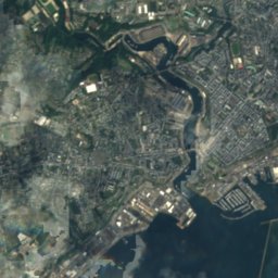
Penfeld from above

Nature nearbyAll of France
Photo: G.Mannaerts · CC BY-SA 4.0 · Wikimedia CommonsReport this photo · linked, not stored
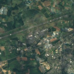
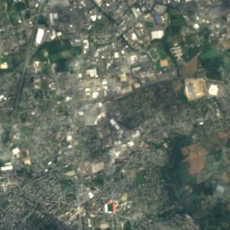
Abri Sadi-CarnotCave0.8 kmNAbri Sadi-Carnot
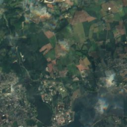
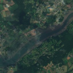
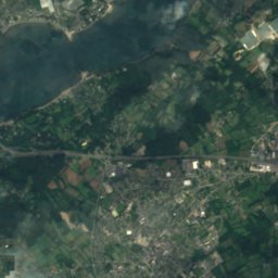
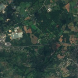
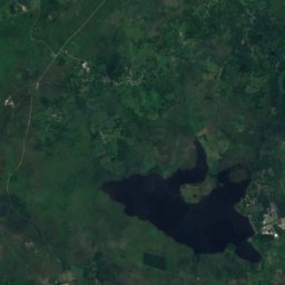
Satellite: Sentinel-2 cloudless 2016 by EOX IT Services GmbH · CC BY 4.0 · Contains modified Copernicus Sentinel data 2016
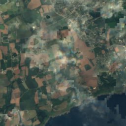
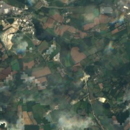
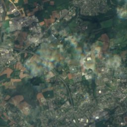
Abri PoncheletCave2.5 kmNEAbri Ponchelet
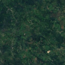
Satellite: Sentinel-2 cloudless 2016 by EOX IT Services GmbH · CC BY 4.0 · Contains modified Copernicus Sentinel data 2016
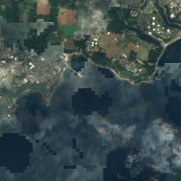
Banc du CorbeauIsland3.1 kmSEBanc du Corbeau
Photo: Michael Rapp · CC BY-SA 3.0 · Wikimedia CommonsReport this photo · linked, not stored
La CormorandièreIsland4.6 kmSWLa Cormorandière
Photo: Larvor · CC BY-SA 3.0 · Wikimedia CommonsReport this photo · linked, not stored
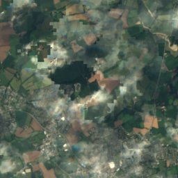
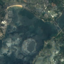
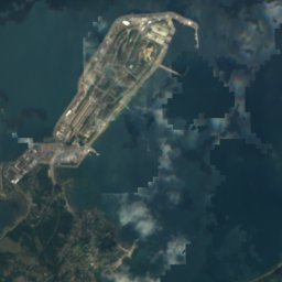
Île Ronde, BrestIsland6.5 kmSÎle Ronde, Brest
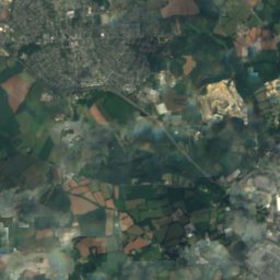
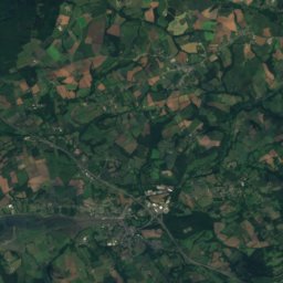
Satellite: Sentinel-2 cloudless 2016 by EOX IT Services GmbH · CC BY 4.0 · Contains modified Copernicus Sentinel data 2016
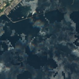
île TrébéronIsland8.5 kmSîle Trébéron
Stay nearby

Towns close by

Brest
Photo: Thesupermat · CC BY-SA 3.0 · Wikimedia CommonsReport this photo · linked, not stored

Brest

Brittany · 1.5 km N
16°Oct high
15wet days
53score
Brest
Bohars
Photo: El Funcionario · CC BY-SA 3.0 · Wikimedia CommonsReport this photo · linked, not stored

Bohars

Brittany · 5.9 km N
16°Oct high
15wet days
52score
Bohars
Guilers
Photo: El Funcionario · CC BY-SA 3.0 · Wikimedia CommonsReport this photo · linked, not stored

Guilers

Brittany · 7.3 km NW
16°Oct high
15wet days
51score
Guilers
Le Relecq-Kerhuon
Photo: Moreau.henri · CC BY-SA 3.0 · Wikimedia CommonsReport this photo · linked, not stored

Le Relecq-Kerhuon

Brittany · 7.9 km NE
16°Oct high
15wet days
53score
Le Relecq-Kerhuon
Around here

Brest and around

Brest
Photo: Thesupermat · CC BY-SA 3.0 · Wikimedia CommonsReport this photo · linked, not stored

Brest

Brittany · France
Jun–Jul · Sepbest months
21°July high
49 maltitude
Brest

Nature

Abri Sadi-Carnot
Photo: G.Mannaerts · CC BY-SA 4.0 · Wikimedia CommonsReport this photo · linked, not stored
0.8 km SW

Abri Sadi-Carnot

Cave
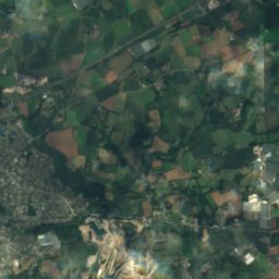
Abri Sadi-Carnot
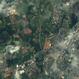
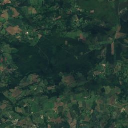
Satellite: Sentinel-2 cloudless 2016 by EOX IT Services GmbH · CC BY 4.0 · Contains modified Copernicus Sentinel data 2016
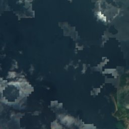
8.2 km E

Rocher de l'Impératrice

Cave
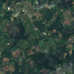
Rocher de l'Impératrice
Satellite: Sentinel-2 cloudless 2016 by EOX IT Services GmbH · CC BY 4.0 · Contains modified Copernicus Sentinel data 2016
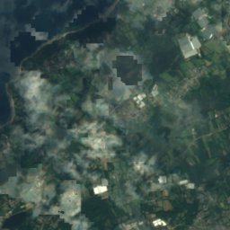
1.2 km E

Abri Ponchelet

Cave
Abri Ponchelet

Mountains

Ménez-Hom
Photo: Yc72 · Public domain · Wikimedia CommonsReport this photo · linked, not stored
27 km SE

Ménez-Hom

385 m · Montagnes Noires
Ménez-Hom
Satellite: Sentinel-2 cloudless 2016 by EOX IT Services GmbH · CC BY 4.0 · Contains modified Copernicus Sentinel data 2016
40 km E

Toussaines

292 m
Toussaines
Menez Lokorn
Photo: Ludovic Péron · CC BY-SA 3.0 · Wikimedia CommonsReport this photo · linked, not stored
39 km SE

Menez Lokorn

289 m · Montagnes Noires
Menez Lokorn

Heritage

église Saint-Louis de Brest
Photo: Broenberr · CC BY-SA 4.0 · Wikimedia CommonsReport this photo · linked, not stored
0.4 km SW

église Saint-Louis de Brest

monument historique inscrit · 1958
église Saint-Louis de Brest
Château de Brest
Photo: S. DÉNIEL · CC BY-SA 3.0 · Wikimedia CommonsReport this photo · linked, not stored
1.2 km SW

Château de Brest

classified historical monument
Château de Brest
Brest railway station
Photo: A.lloyd999ify · CC BY-SA 4.0 · Wikimedia CommonsReport this photo · linked, not stored
0.5 km SE

Brest railway station

monument historique inscrit
Brest railway station

Museums

Brest’s Museum of Fine Arts
Photo: Dominique Poulmarc'h · CC BY-SA 3.0 · Wikimedia CommonsReport this photo · linked, not stored
0.6 km SW

Brest’s Museum of Fine Arts

Art museum · 1968
Brest’s Museum of Fine Arts
Brest national naval museum
Photo: Thesupermat · CC BY-SA 3.0 · Wikimedia CommonsReport this photo · linked, not stored
1.1 km SW

Brest national naval museum

Naval museum · 1826
Brest national naval museum
Tour Tanguy
Photo: S. DÉNIEL · CC BY-SA 2.5 · Wikimedia CommonsReport this photo · linked, not stored
1.1 km SW

Tour Tanguy

Tour Tanguy