
Photo: Xabi Rome-Hérault · CC BY 3.0 · Wikimedia Commons
Pair-non-PairReport this photo · linked, not stored
Pair-non-PairReport this photo · linked, not stored

Photo: Unknown author · CC BY-SA 3.0 · Wikimedia Commons
Dordogne, New AquitaineReport this photo · linked, not stored
Dordogne, New AquitaineDordogne, New AquitaineReport this photo · linked, not stored
CavePrignac-et-Marcamps, New Aquitaine
Pair-non-Pair
CaveBest Apr · Jun · Sep
Elevation–above sea level
Inside14°Call year
Nearest townPrignac-et-Marcamps0.6 km
45.04° N, 0.50° WUTC+2 · Central European Summer Time
When to goPrignac-et-Marcamps · weather score
Best timeApr · Jun · Sep
October: high / low20° / 10°
Cave
Pair-non-Pair in brief
Pair-non-Pair is a cave in Prignac-et-Marcamps, New Aquitaine, France.
The nearest town in the atlas is Prignac-et-Marcamps, 0.6 km to the S, where the weather is best in April, June and September.
Inside, a cave stays close to the average yearly air temperature outside: about 14°C all year.
Weather nearby now
Forecast for Prignac-et-Marcamps17°
Cloudy now
Today
22 Oct
18°
9°
3 mm
Fri
23 Oct
17°
10°
7 mm
Sat
24 Oct
17°
9°
1 mm
Sun
25 Oct
19°
14°
6 mm
Mon
26 Oct
22°
13°
Model run 00:00 UTCRefreshed several times a day
When to go
Climate of Prignac-et-MarcampsThe best months around Pair-non-Pair
Month score in Prignac-et-Marcamps
Comfort, dry days and sunshine · out of 10020
Jan
40
Feb
56
Mar
71
Apr
66
May
73
Jun
70
Jul
68
Aug
79
Sep
69
Oct
41
Nov
24
Dec
Map
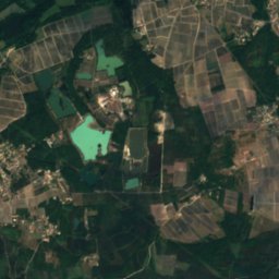
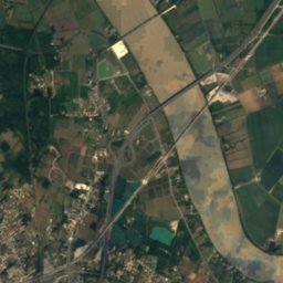
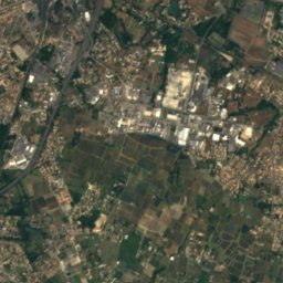
Pair-non-Pair from above
Nature nearbyAll of France
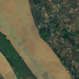
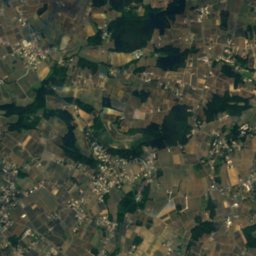
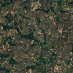
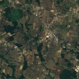
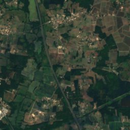
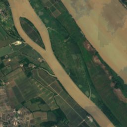
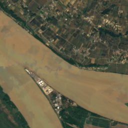
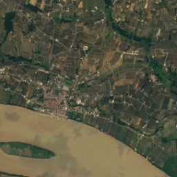
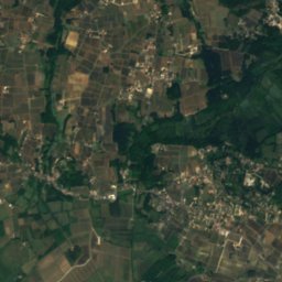
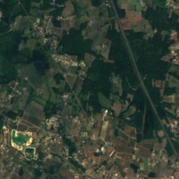
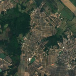
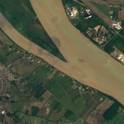
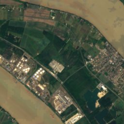
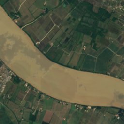
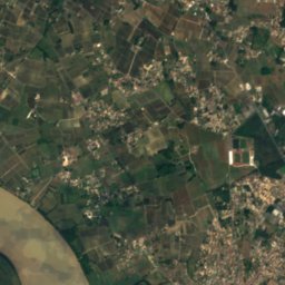
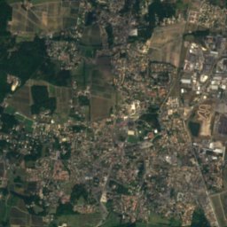
Satellite: Sentinel-2 cloudless 2016 by EOX IT Services GmbH · CC BY 4.0 · Contains modified Copernicus Sentinel data 2016
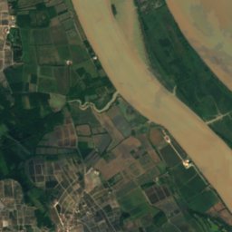
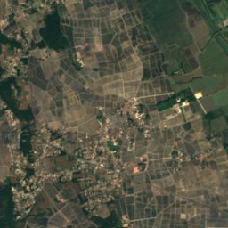
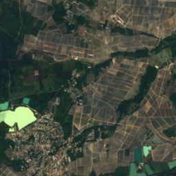
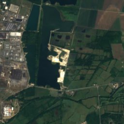
Satellite: Sentinel-2 cloudless 2016 by EOX IT Services GmbH · CC BY 4.0 · Contains modified Copernicus Sentinel data 2016
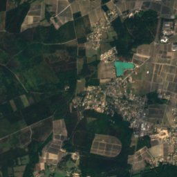
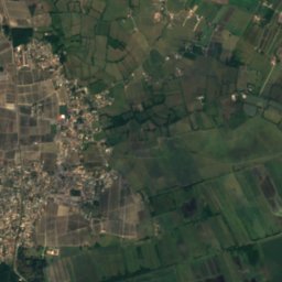
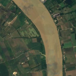
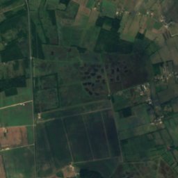
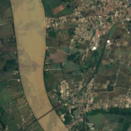
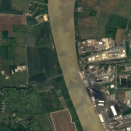
Satellite: Sentinel-2 cloudless 2016 by EOX IT Services GmbH · CC BY 4.0 · Contains modified Copernicus Sentinel data 2016

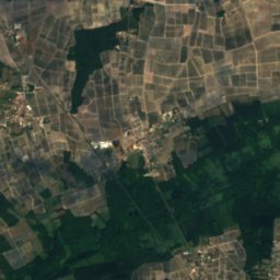
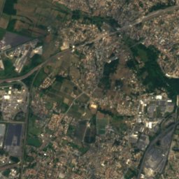
Satellite: Sentinel-2 cloudless 2016 by EOX IT Services GmbH · CC BY 4.0 · Contains modified Copernicus Sentinel data 2016
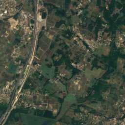
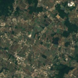
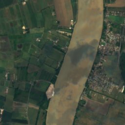
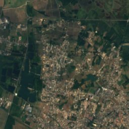
Stay nearby
Towns close by
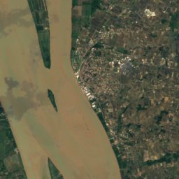
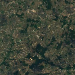
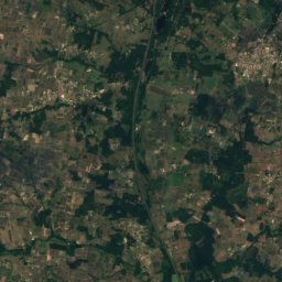
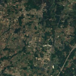
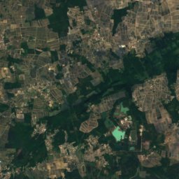
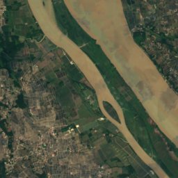
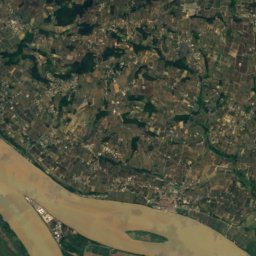
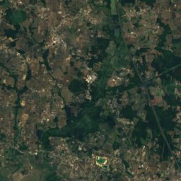
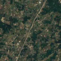
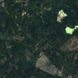
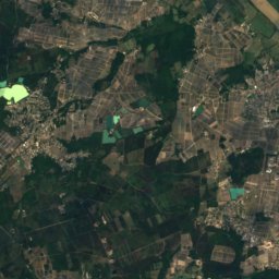
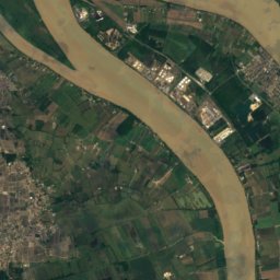
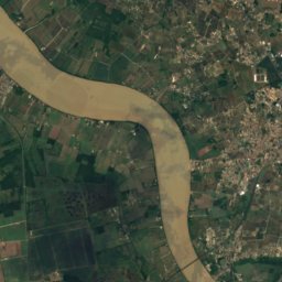
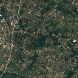
Satellite: Sentinel-2 cloudless 2016 by EOX IT Services GmbH · CC BY 4.0 · Contains modified Copernicus Sentinel data 2016
Marcamps
New Aquitaine · 0.7 km E
20°Oct high
12wet days
69score


Around here
Prignac-et-Marcamps and around

Prignac-et-Marcamps
New Aquitaine · France
Apr · Jun · Sepbest months
27°July high
19 maltitude
Nature
Heritage

Église Saint-Étienne de Tauriac
classified historical monument

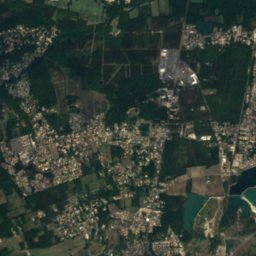
Satellite: Sentinel-2 cloudless 2016 by EOX IT Services GmbH · CC BY 4.0 · Contains modified Copernicus Sentinel data 2016
Chapelle des Lurzines
monument historique inscrit
Museums


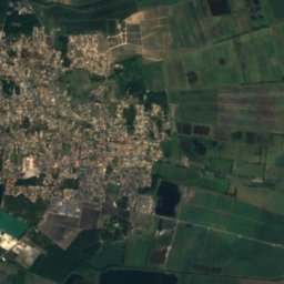
Satellite: Sentinel-2 cloudless 2016 by EOX IT Services GmbH · CC BY 4.0 · Contains modified Copernicus Sentinel data 2016