
Photo: Michel Roland-Guill from Contes, France · CC BY-SA 2.0 · Wikimedia Commons
PaillonReport this photo · linked, not stored
PaillonReport this photo · linked, not stored

Photo: Mister No · CC BY 3.0 · Wikimedia Commons
Cascade de la colline du ChâteauReport this photo · linked, not stored
Cascade de la colline du ChâteauCascade de la colline du ChâteauReport this photo · linked, not stored

Photo: Patrice Semeria · Public domain · Wikimedia Commons
MagnanReport this photo · linked, not stored
MagnanMagnanReport this photo · linked, not stored
 Coco beach
 Banquière
RiverNice, Provence-Alpes-Côte d'Azur
Paillon
RiverBest Jun · Sep–Oct
Elevation–above sea level
Length36 kmsource to mouth
Nearest townNice0.8 km
43.70° N, 7.27° EUTC+2 · Central European Summer Time
When to goNice · weather score
Best timeJun · Sep–Oct
October: high / low21° / 14°
River
Paillon in brief
Paillon is a river in Nice, Provence-Alpes-Côte d'Azur, France.
The nearest town in the atlas is Nice, 0.8 km to the NW, where the weather is best in June, September and October.
Paillon is 36 km long.
Weather nearby now
Forecast for Nice19°
Cloudy now
Today
22 Oct
21°
12°
Fri
23 Oct
20°
11°
8 mm
Sat
24 Oct
21°
9°
Sun
25 Oct
20°
10°
Mon
26 Oct
21°
10°
Model run 00:00 UTCRefreshed several times a day
The course of the river
As mapped in OpenStreetMap, with the towns of the atlas along its banks.- 1Berre-les-Alpes679 m
- 2Touët-de-l'Escarène512 m
- 3L'Escarène347 m
- 4Blausasc319 m
- 5Peille649 m
- 6Peillon369 m
- 7Cantaron103 m
- 8Drap100 m
- 9La Trinité75 m
- 10Falicon266 m
- 11Saint-André-de-la-Roche97 m
- 12Pasteur35 m
- 13Carabacel39 m
- 14Libération33 m
sourcemouth (or where the mapped line leaves the country)
Map
Paillon from above
Nature nearbyAll of France
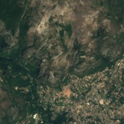
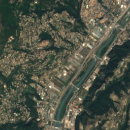
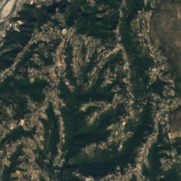
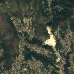
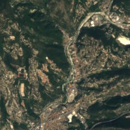
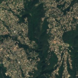
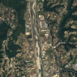
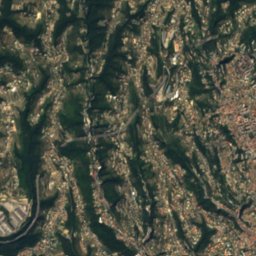
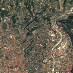
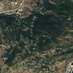
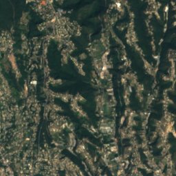
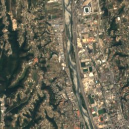
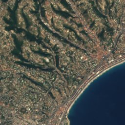
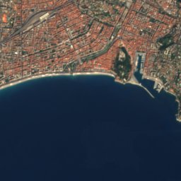
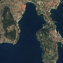
Satellite: Sentinel-2 cloudless 2016 by EOX IT Services GmbH · CC BY 4.0 · Contains modified Copernicus Sentinel data 2016


Summits nearbyMountains of France
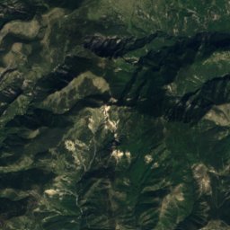
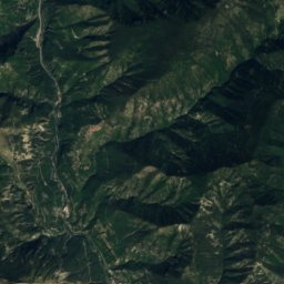
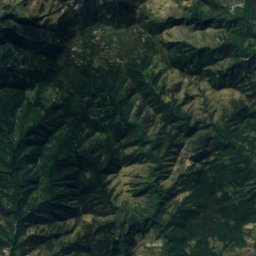
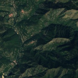
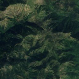
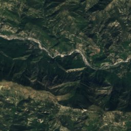
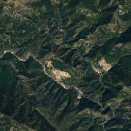
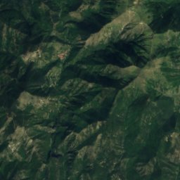
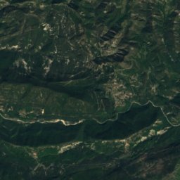
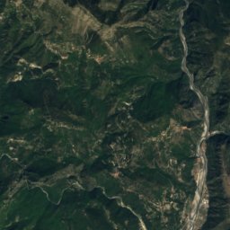
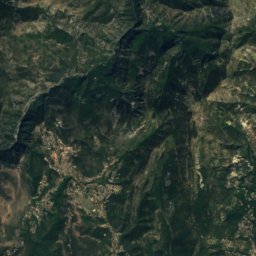
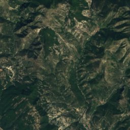
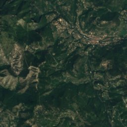
Satellite: Sentinel-2 cloudless 2016 by EOX IT Services GmbH · CC BY 4.0 · Contains modified Copernicus Sentinel data 2016

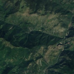
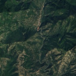
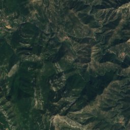
Satellite: Sentinel-2 cloudless 2016 by EOX IT Services GmbH · CC BY 4.0 · Contains modified Copernicus Sentinel data 2016


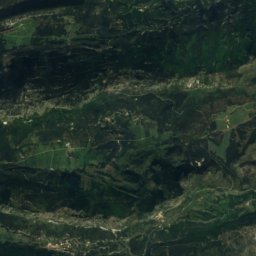
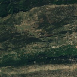
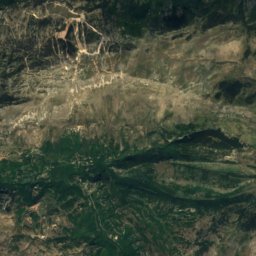
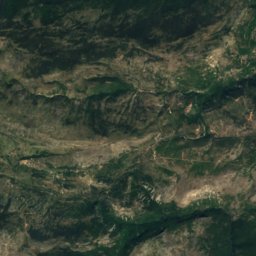
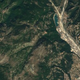
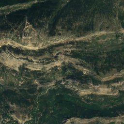
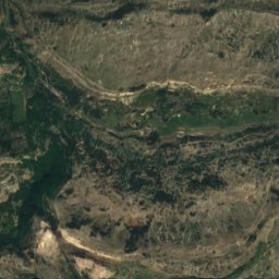
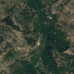
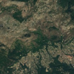
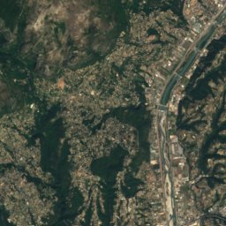
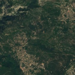
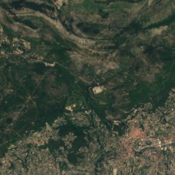
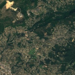
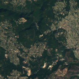
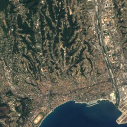
Satellite: Sentinel-2 cloudless 2016 by EOX IT Services GmbH · CC BY 4.0 · Contains modified Copernicus Sentinel data 2016
Stay nearby
Towns close by

Photo: Moody Dreiza (Moody751 at English Wikipedia) · CC BY 2.5 · Wikimedia CommonsReport this photo · linked, not stored
Nice
Provence-Alpes-Côte d'Azur · 0.8 km NW
21°Oct high
9wet days
77score


Around here
Nice and around
Photo: Moody Dreiza (Moody751 at English Wikipedia) · CC BY 2.5 · Wikimedia CommonsReport this photo · linked, not stored
Nice
Provence-Alpes-Côte d'Azur · France
Jun · Sep–Octbest months
29°July high
25 maltitude


Mountains
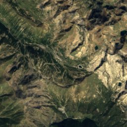
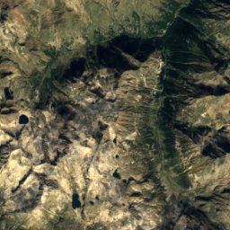
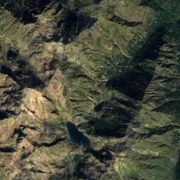
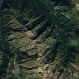
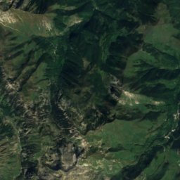
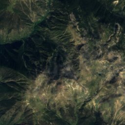
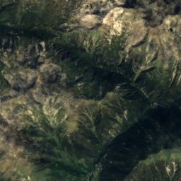
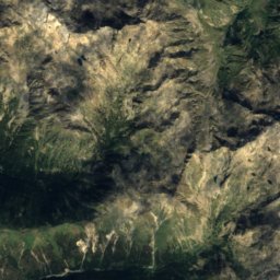
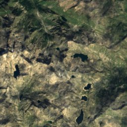
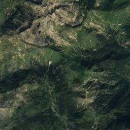
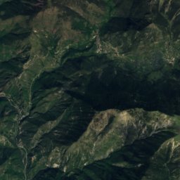
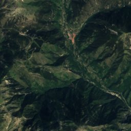
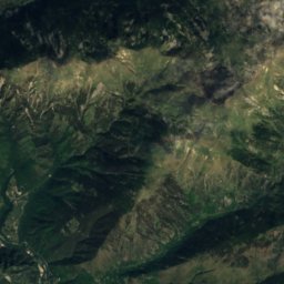
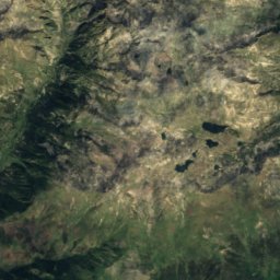
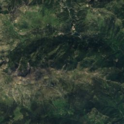
Satellite: Sentinel-2 cloudless 2016 by EOX IT Services GmbH · CC BY 4.0 · Contains modified Copernicus Sentinel data 2016
Cime de Montjoya
2,311 m

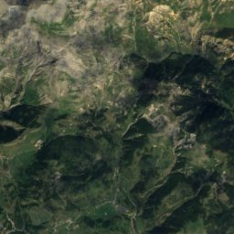
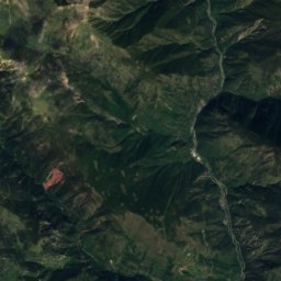
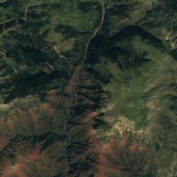
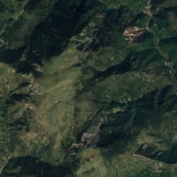
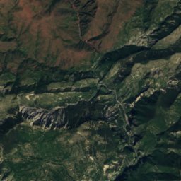
Satellite: Sentinel-2 cloudless 2016 by EOX IT Services GmbH · CC BY 4.0 · Contains modified Copernicus Sentinel data 2016
Mont Caire Gros
2,022 m
Heritage

Photo: Photo: Myrabella / Wikimedia Commons · CC BY-SA 3.0 · Wikimedia CommonsReport this photo · linked, not stored
Nice Cathedral
classified historical monument · 1650

Chapelle de la Miséricorde de Nice
classified historical monument · 1770


