

Photo: Jean-noël Lafargue (Jean-no) · FAL · Wikimedia Commons
AuzoueReport this photo · linked, not stored
AuzoueAuzoueReport this photo · linked, not stored

Photo: Père Igor · CC BY-SA 3.0 · Wikimedia Commons
Petit AuvignonReport this photo · linked, not stored
Petit AuvignonPetit AuvignonReport this photo · linked, not stored
RiverAndiran, New Aquitaine
Osse
RiverBest Apr · Sep–Oct
Elevation–above sea level
Length120 kmsource to mouth
Nearest townAndiran2.6 km
44.12° N, 0.28° EUTC+2 · Central European Summer Time
When to goAndiran · weather score
Best timeApr · Sep–Oct
October: high / low20° / 10°
River
Osse in brief
Osse is a river in Andiran, New Aquitaine, France.
The nearest town in the atlas is Andiran, 2.6 km to the S, where the weather is best in April, September and October.
Osse is 120 km long.
Weather nearby now
Forecast for Andiran17°
Cloudy now
Today
22 Oct
18°
9°
Fri
23 Oct
17°
10°
3 mm
Sat
24 Oct
17°
9°
1 mm
Sun
25 Oct
20°
10°
1 mm
Mon
26 Oct
22°
14°
1 mm
Model run 00:00 UTCRefreshed several times a day
The course of the river
As mapped in OpenStreetMap, with the towns of the atlas along its banks.- 1Miélan282 m
- 2Laas233 m
- 3Monclar-sur-Losse174 m
- 4Montesquiou206 m
- 5Le Brouilh-Monbert141 m
- 6Vic-Fezensac118 m
- 7Gondrin182 m
- 8Mouchan91 m
- 9Cassaigne143 m
- 10Larressingle145 m
- 11Beaumont128 m
- 12Larroque-sur-l'Osse140 m
- 13Fréchou111 m
- 14Andiran112 m
sourcemouth (or where the mapped line leaves the country)
When to go
Climate of AndiranThe best months around Osse
Month score in Andiran
Comfort, dry days and sunshine · out of 10022
Jan
41
Feb
56
Mar
70
Apr
66
May
69
Jun
66
Jul
63
Aug
80
Sep
71
Oct
44
Nov
28
Dec
Map
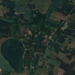
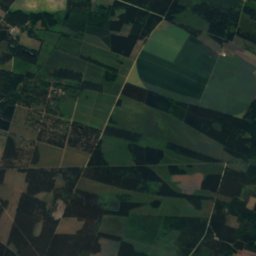
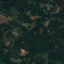
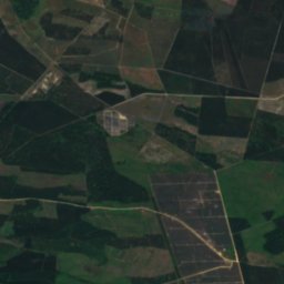
Osse from above
Nature nearbyAll of France
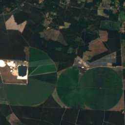
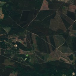
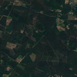
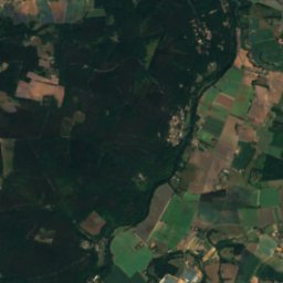
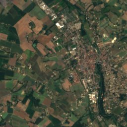
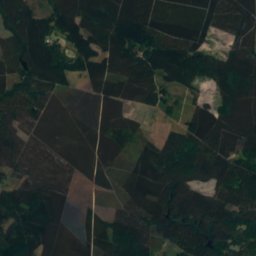
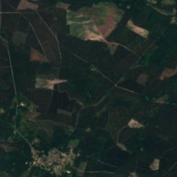
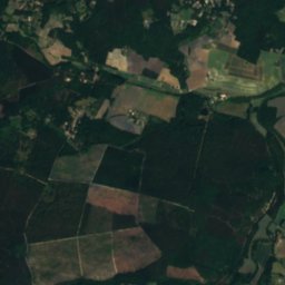
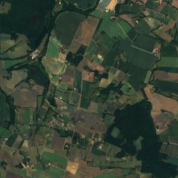
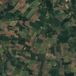
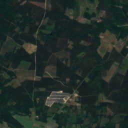
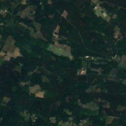
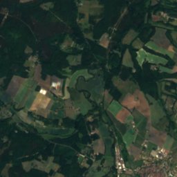
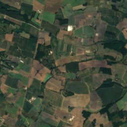
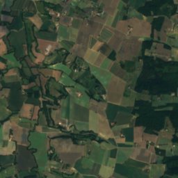
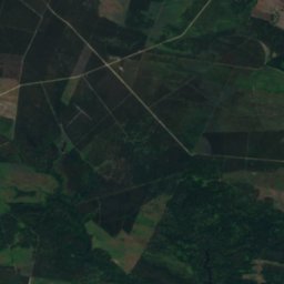
Satellite: Sentinel-2 cloudless 2016 by EOX IT Services GmbH · CC BY 4.0 · Contains modified Copernicus Sentinel data 2016
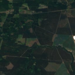
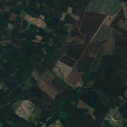
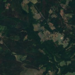
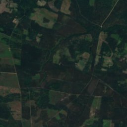
Satellite: Sentinel-2 cloudless 2016 by EOX IT Services GmbH · CC BY 4.0 · Contains modified Copernicus Sentinel data 2016
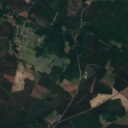
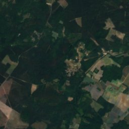
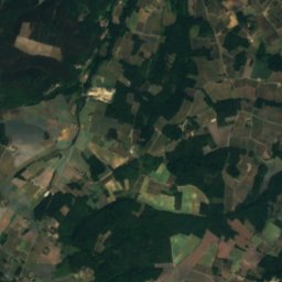
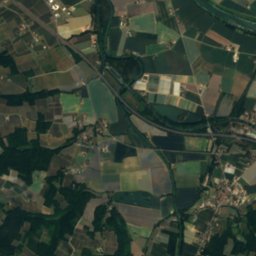
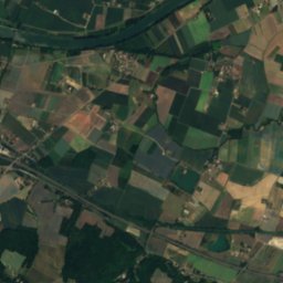
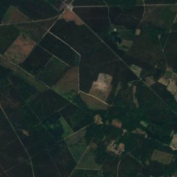
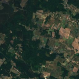
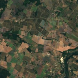
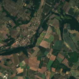
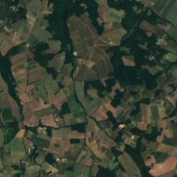
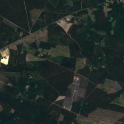
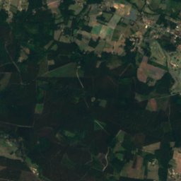
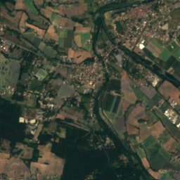
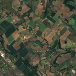
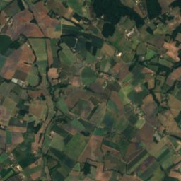
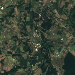
Satellite: Sentinel-2 cloudless 2016 by EOX IT Services GmbH · CC BY 4.0 · Contains modified Copernicus Sentinel data 2016

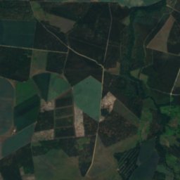
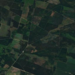
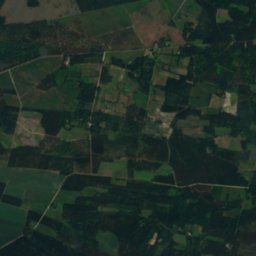
Summits nearbyMountains of France
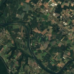
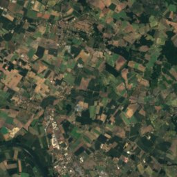
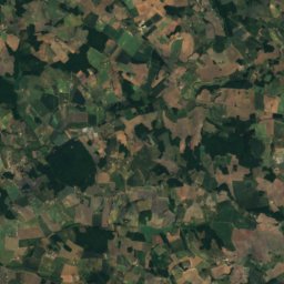
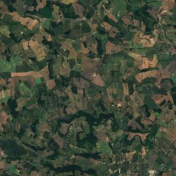
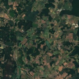
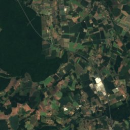
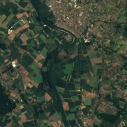
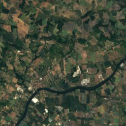
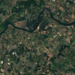
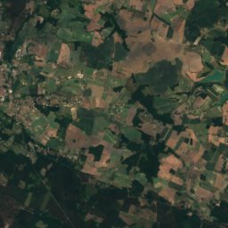
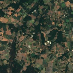
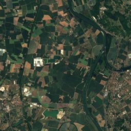
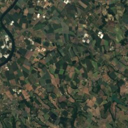
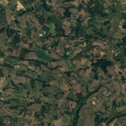
Satellite: Sentinel-2 cloudless 2016 by EOX IT Services GmbH · CC BY 4.0 · Contains modified Copernicus Sentinel data 2016


Around here
Andiran and around
Nature
Mountains
Satellite: Sentinel-2 cloudless 2016 by EOX IT Services GmbH · CC BY 4.0 · Contains modified Copernicus Sentinel data 2016
Pech de Berre
160 m
Heritage

église Sainte-Marie de Lannes
monument historique inscrit · 1883

église Saint-Jean-Baptiste de Cazeaux
monument historique inscrit · 1849

Museums
Satellite: Sentinel-2 cloudless 2016 by EOX IT Services GmbH · CC BY 4.0 · Contains modified Copernicus Sentinel data 2016
Château-musée Henri IV
1872
Satellite: Sentinel-2 cloudless 2016 by EOX IT Services GmbH · CC BY 4.0 · Contains modified Copernicus Sentinel data 2016
Musée du liège et du bouchon
1983


Satellite: Sentinel-2 cloudless 2016 by EOX IT Services GmbH · CC BY 4.0 · Contains modified Copernicus Sentinel data 2016
Musée de la Boîte Ancienne en Fer Blanc
1998