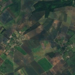
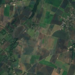
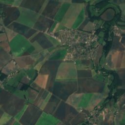
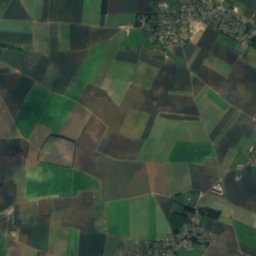
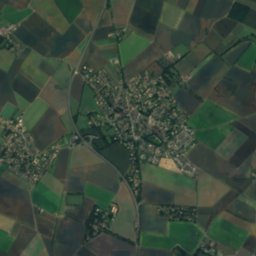
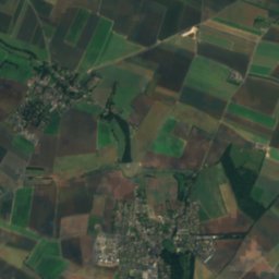
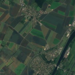
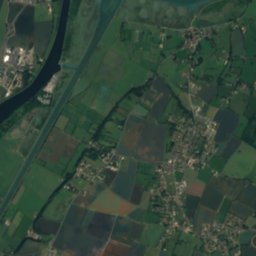
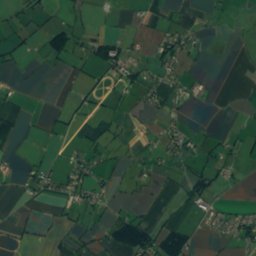
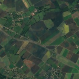
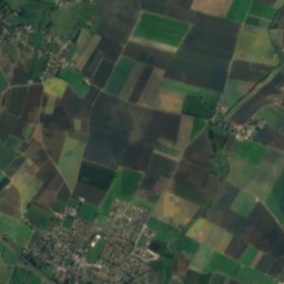
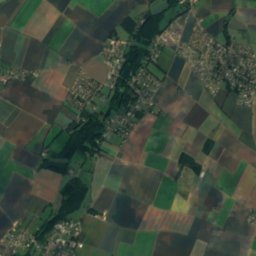
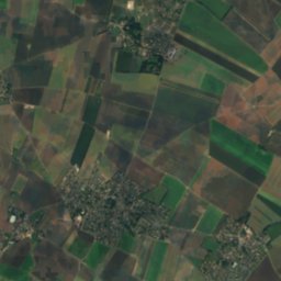
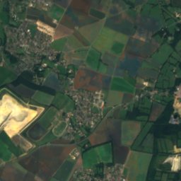
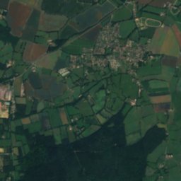
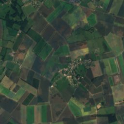
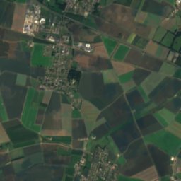
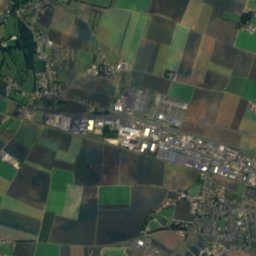
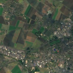
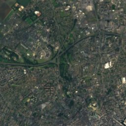
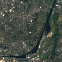
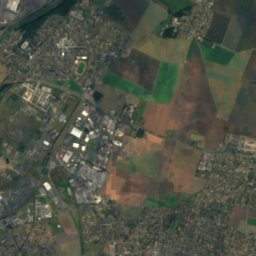
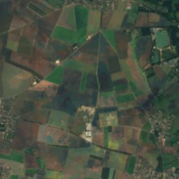
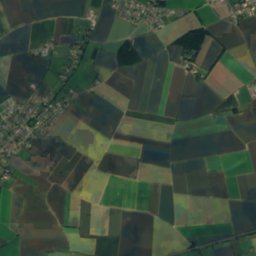
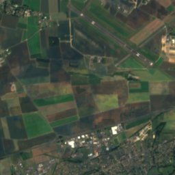
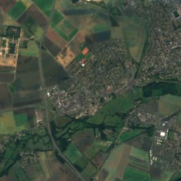
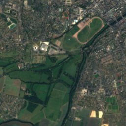
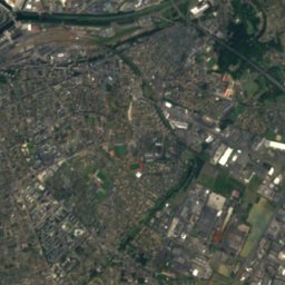
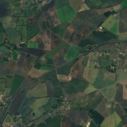
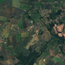
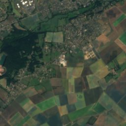
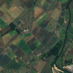
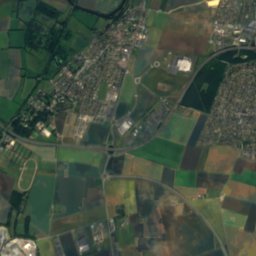
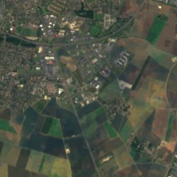
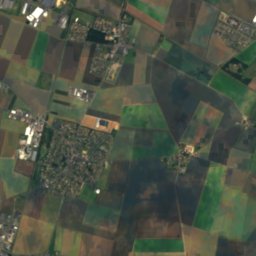
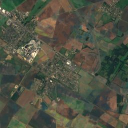
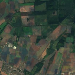
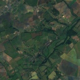
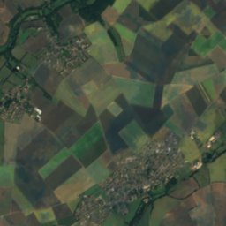
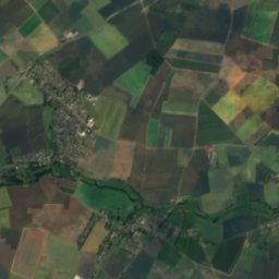
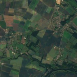
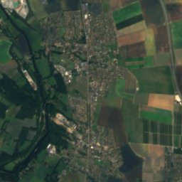
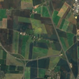
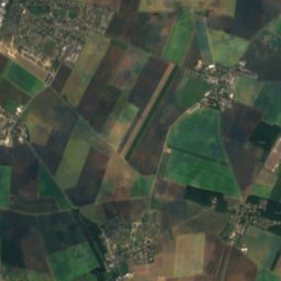
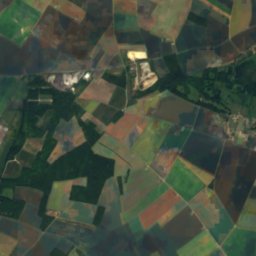
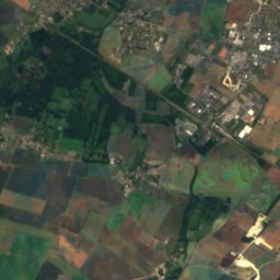
Satellite: Sentinel-2 cloudless 2016 by EOX IT Services GmbH · CC BY 4.0 · Contains modified Copernicus Sentinel data 2016
 Laize
 Muance

Photo: jean-pierre Hamon · CC BY-SA 3.0 · Wikimedia Commons
AjonReport this photo · linked, not stored
AjonAjonReport this photo · linked, not stored

Photo: Mapham, Jim (Photographer), No. 5 Army Film and Photo Section, Army Film and Pho · Public domain · Wikimedia Commons
Sword BeachReport this photo · linked, not stored
Sword BeachSword BeachReport this photo · linked, not stored
RiverFleury-sur-Orne, Normandy
Odon
RiverBest Jun–Jul · Sep
Elevation–above sea level
Length47 kmsource to mouth
Nearest townFleury-sur-Orne1.5 km
49.16° N, 0.37° WUTC+2 · Central European Summer Time
When to goFleury-sur-Orne · weather score
Best timeJun–Jul · Sep
October: high / low17° / 9°
River
Odon in brief
Odon is a river in Fleury-sur-Orne, Normandy, France.
The nearest town in the atlas is Fleury-sur-Orne, 1.5 km to the S, where the weather is best in June, July and September.
Odon is 47 km long.
Weather nearby now
Forecast for Fleury-sur-Orne14°
Rain now
Today
22 Oct
16°
9°
10 mm
Fri
23 Oct
13°
9°
9 mm
Sat
24 Oct
15°
8°
7 mm
Sun
25 Oct
16°
10°
10 mm
Mon
26 Oct
20°
9°
1 mm
Model run 00:00 UTCRefreshed several times a day
The course of the river
As mapped in OpenStreetMap, with the towns of the atlas along its banks.- 1Jurques200 m
- 2Saint-Georges-d'Aunay170 m
- 3Aunay-sur-Odon121 m
- 4Longvillers127 m
- 5Le Mesnil-au-Grain143 m
- 6Villers-Bocage158 m
- 7Épinay-sur-Odon86 m
- 8Villy-Bocage148 m
- 9Parfouru-sur-Odon121 m
- 10Monts-en-Bessin147 m
- 11Landes-sur-Ajon113 m
sourcemouth (or where the mapped line leaves the country)
When to go
Climate of Fleury-sur-OrneThe best months around Odon
Month score in Fleury-sur-Orne
Comfort, dry days and sunshine · out of 10016
Jan
19
Feb
35
Mar
56
Apr
67
May
71
Jun
72
Jul
69
Aug
72
Sep
54
Oct
28
Nov
16
Dec
Map
Odon from above
Nature nearbyAll of France

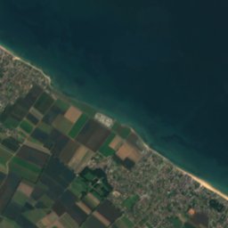



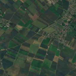
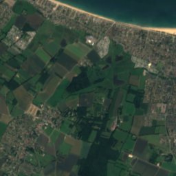
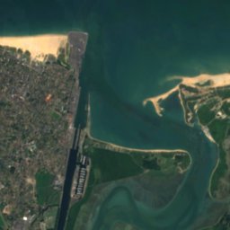
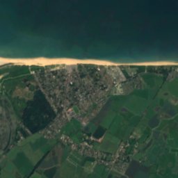
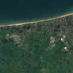
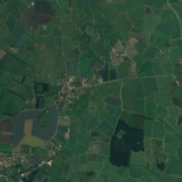
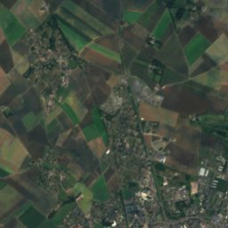
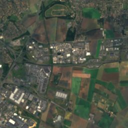
Satellite: Sentinel-2 cloudless 2016 by EOX IT Services GmbH · CC BY 4.0 · Contains modified Copernicus Sentinel data 2016


Photo: Mapham, Jim (Photographer), No. 5 Army Film and Photo Section, Army Film and Pho · Public domain · Wikimedia CommonsReport this photo · linked, not stored
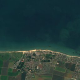



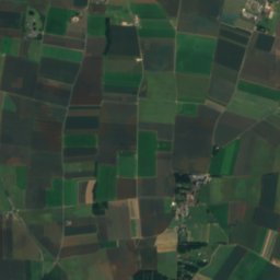
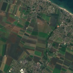
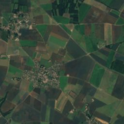
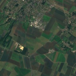
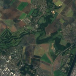
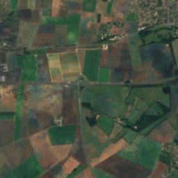
Satellite: Sentinel-2 cloudless 2016 by EOX IT Services GmbH · CC BY 4.0 · Contains modified Copernicus Sentinel data 2016
Stay nearby
Towns close by


Around here
Fleury-sur-Orne and around
Nature


Mountains


Heritage


église du Sacré-Cœur de la Guérinière
monument historique inscrit · 1960
Museums
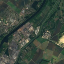
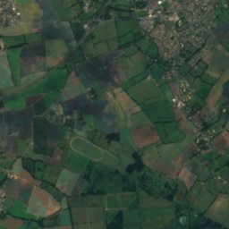
Satellite: Sentinel-2 cloudless 2016 by EOX IT Services GmbH · CC BY 4.0 · Contains modified Copernicus Sentinel data 2016
Musée d’initiation à la nature


Satellite: Sentinel-2 cloudless 2016 by EOX IT Services GmbH · CC BY 4.0 · Contains modified Copernicus Sentinel data 2016
Musée-atelier d'Yvonne Guégan

Photo: photography by Christophe.Finot · CC BY-SA 3.0 · Wikimedia CommonsReport this photo · linked, not stored

Musée des Beaux-Arts de Caen
Art museum · 1801