Skip to content
Destinations
Weather & climate
Nature
Outdoors
Culture
Events
Sky & live
Odet
Photo: Mandrillon · Public domain · Wikimedia Commons
OdetReport this photo · linked, not stored
Garo island, Loctudy
Photo: Moreau.henri · CC BY-SA 3.0 · Wikimedia Commons
Garo island, LoctudyReport this photo · linked, not stored
Garo island, Loctudy
Frugy
Photo: Moreau.henri · CC BY-SA 3.0 · Wikimedia Commons
FrugyReport this photo · linked, not stored
Frugy
RiverBénodet, Brittany

Odet

RiverBest Jun · Aug–Sep
Elevation–above sea level
Length63 kmsource to mouth
Nearest townBénodet1.4 km
47.86° N, 4.10° WUTC+2 · Central European Summer Time
When to goBénodet · weather score
JanFebMarAprMayJunJulAugSepOctNovDec56October
Best timeJun · Aug–Sep
October: high / low17° / 10°
River

Odet in brief

Odet is a river in Bénodet, Brittany, France.

The nearest town in the atlas is Bénodet, 1.4 km to the N, where the weather is best in June, August and September.

Odet is 63 km long.

Bénodet: weather and travel guide

Weather nearby now

Forecast for Bénodet
13°
Rain now
Wind24 km/h
Humidity94%
Cloud cover100%
Today
22 Oct
16°
10°
17 mm
Fri
23 Oct
15°
10°
10 mm
Sat
24 Oct
16°
10°
10 mm
Sun
25 Oct
17°
10°
10 mm
Mon
26 Oct
18°
11°
10 mm

Model run 00:00 UTCRefreshed several times a day

The course of the river

As mapped in OpenStreetMap, with the towns of the atlas along its banks.
12345678910
  1. 1Leuhan172 m
  2. 2Trégourez133 m
  3. 3Langolen145 m
  4. 4Landudal120 m
  5. 5Ergué-Gabéric65 m
  6. 6Quimper13 m
  7. 7Gouesnach40 m
  8. 8Plomelin52 m
  9. 9Combrit27 m
  10. 10Bénodet14 m
sourcemouth (or where the mapped line leaves the country)
When to go

The best months around Odet

Climate of Bénodet

Month score in Bénodet

Comfort, dry days and sunshine · out of 100
19
Jan
25
Feb
34
Mar
56
Apr
69
May
75
Jun
72
Jul
73
Aug
78
Sep
56
Oct
36
Nov
23
Dec
Map

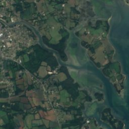
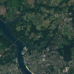
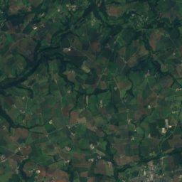
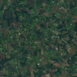
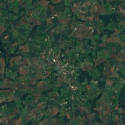
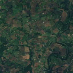
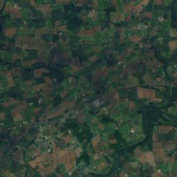
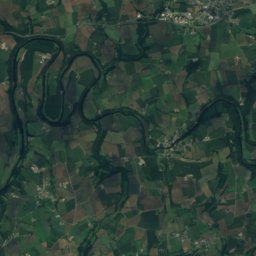
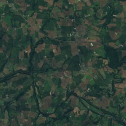
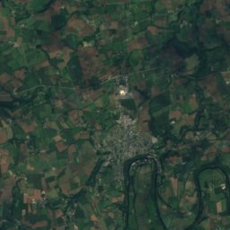
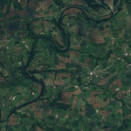
Odet from above

Nature nearbyAll of France
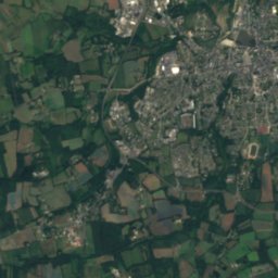
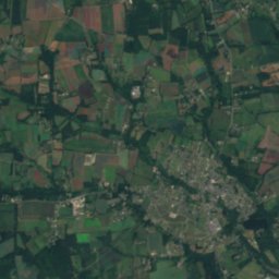
Satellite: Sentinel-2 cloudless 2016 by EOX IT Services GmbH · CC BY 4.0 · Contains modified Copernicus Sentinel data 2016
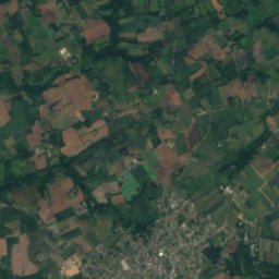
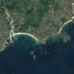
Men BretIsland5.8 kmSWMen Bret
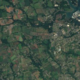
Satellite: Sentinel-2 cloudless 2016 by EOX IT Services GmbH · CC BY 4.0 · Contains modified Copernicus Sentinel data 2016
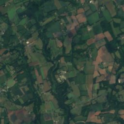
Île Chevalier, BrittanyIsland6.1 kmWÎle Chevalier, Brittany
Photo: Moreau.henri · CC BY-SA 3.0 · Wikimedia CommonsReport this photo · linked, not stored
Garo island, LoctudyIsland6.2 kmWGaro island, Loctudy
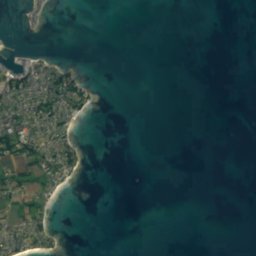
Satellite: Sentinel-2 cloudless 2016 by EOX IT Services GmbH · CC BY 4.0 · Contains modified Copernicus Sentinel data 2016
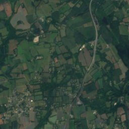
Rats islandIsland6.2 kmWRats island
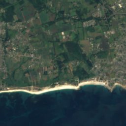
Satellite: Sentinel-2 cloudless 2016 by EOX IT Services GmbH · CC BY 4.0 · Contains modified Copernicus Sentinel data 2016
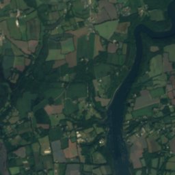
Île QueffenIsland6.3 kmWÎle Queffen
Satellite: Sentinel-2 cloudless 2016 by EOX IT Services GmbH · CC BY 4.0 · Contains modified Copernicus Sentinel data 2016
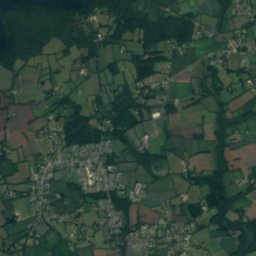
Basse du ChenalIsland6.3 kmSWBasse du Chenal
Summits nearbyMountains of France
Photo: Moreau.henri · CC BY-SA 3.0 · Wikimedia CommonsReport this photo · linked, not stored
Frugy14 km N70 mJuly 22°Frugy
Stay nearby

Towns close by

Bénodet
Photo: Dhagerman · CC BY-SA 3.0 · Wikimedia CommonsReport this photo · linked, not stored

Bénodet

Brittany · 1.4 km N
17°Oct high
15wet days
56score
Bénodet
Clohars-Fouesnant
Photo: Patrice78500 · Public domain · Wikimedia CommonsReport this photo · linked, not stored

Clohars-Fouesnant

Brittany · 4.7 km NE
17°Oct high
15wet days
56score
Clohars-Fouesnant
Combrit
Photo: Raphodon · CC BY-SA 3.0 · Wikimedia CommonsReport this photo · linked, not stored

Combrit

Brittany · 5.1 km NW
17°Oct high
15wet days
56score
Combrit
Gouesnach
Photo: Moreau.henri · CC BY-SA 3.0 · Wikimedia CommonsReport this photo · linked, not stored

Gouesnach

Brittany · 5.4 km N
17°Oct high
15wet days
56score
Gouesnach
Around here

Bénodet and around

Bénodet
Photo: Dhagerman · CC BY-SA 3.0 · Wikimedia CommonsReport this photo · linked, not stored

Bénodet

Brittany · France
Jun · Aug–Sepbest months
22°July high
14 maltitude
Bénodet

Nature

Pont-l'Abbé river
Photo: Romain Cormier · CC BY-SA 3.0 · Wikimedia CommonsReport this photo · linked, not stored
7.0 km W

Pont-l'Abbé river

River
Pont-l'Abbé river
Steïr
Photo: Thesupermat · CC BY-SA 3.0 · Wikimedia CommonsReport this photo · linked, not stored
13 km N

Steïr

River
Steïr
Jet
Photo: GdTerrier · CC BY-SA 3.0 · Wikimedia CommonsReport this photo · linked, not stored
13 km N

Jet

River
Jet

Mountains

Ménez-Hom
Photo: Yc72 · Public domain · Wikimedia CommonsReport this photo · linked, not stored
40 km N

Ménez-Hom

385 m · Montagnes Noires
Ménez-Hom
Satellite: Sentinel-2 cloudless 2016 by EOX IT Services GmbH · CC BY 4.0 · Contains modified Copernicus Sentinel data 2016
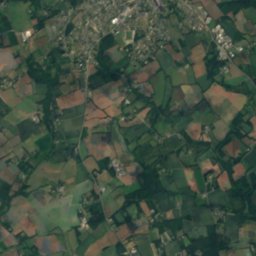
37 km NE

Le Laz

301 m
Le Laz
Menez Lokorn
Photo: Ludovic Péron · CC BY-SA 3.0 · Wikimedia CommonsReport this photo · linked, not stored
26 km N

Menez Lokorn

289 m · Montagnes Noires
Menez Lokorn

Heritage

Satellite: Sentinel-2 cloudless 2016 by EOX IT Services GmbH · CC BY 4.0 · Contains modified Copernicus Sentinel data 2016
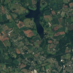
1.1 km W

Abri du marin de Sainte-Marine

monument historique inscrit · 1910
Abri du marin de Sainte-Marine
Église Saint-Thomas-Becket de Bénodet
Photo: This illustration was made by Peter Potrowl. Please credit this with : © Peter P · CC BY-SA 4.0 · Wikimedia CommonsReport this photo · linked, not stored
0.7 km W

Église Saint-Thomas-Becket de Bénodet

monument historique inscrit
Église Saint-Thomas-Becket de Bénodet
Satellite: Sentinel-2 cloudless 2016 by EOX IT Services GmbH · CC BY 4.0 · Contains modified Copernicus Sentinel data 2016
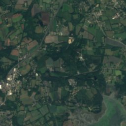
1.7 km NW

château de Kergos

listed in the general inventory of cultural heritage · 1600
château de Kergos

Museums

Satellite: Sentinel-2 cloudless 2016 by EOX IT Services GmbH · CC BY 4.0 · Contains modified Copernicus Sentinel data 2016
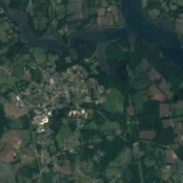
0.2 km W

Musée du bord de mer

Musée du bord de mer
Musée des Beaux-Arts de Quimper
Photo: El Funcionario · CC BY-SA 3.0 · Wikimedia CommonsReport this photo · linked, not stored
13 km N

Musée des Beaux-Arts de Quimper

Art museum · 1864
Musée des Beaux-Arts de Quimper
Musée départemental breton
Photo: Thesupermat · CC BY-SA 3.0 · Wikimedia CommonsReport this photo · linked, not stored
13 km N

Musée départemental breton

1846
Musée départemental breton