Skip to content
Destinations
Weather & climate
Nature
Outdoors
Culture
Events
Sky & live
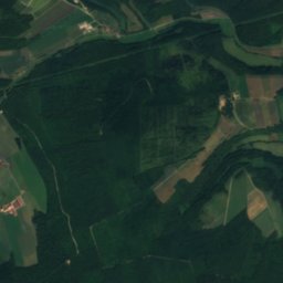
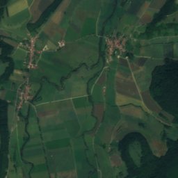
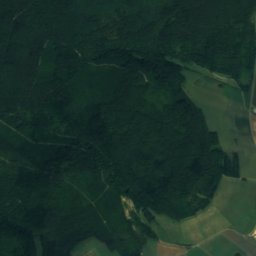
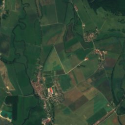
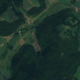
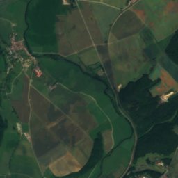
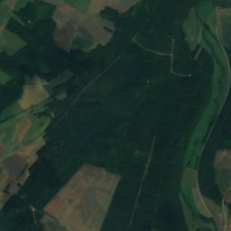
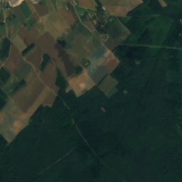
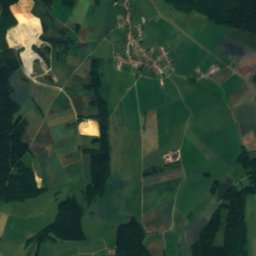
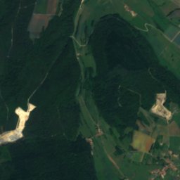
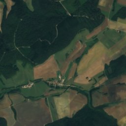
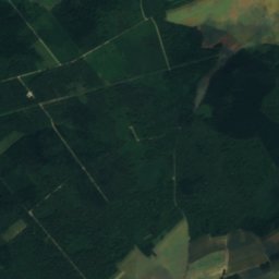
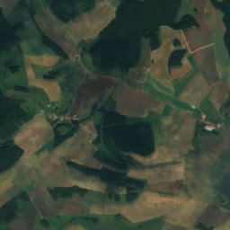
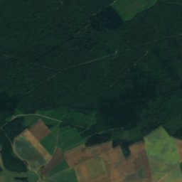
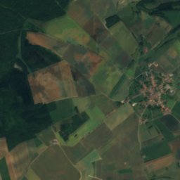
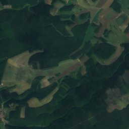
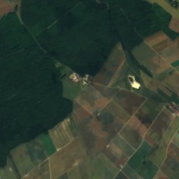
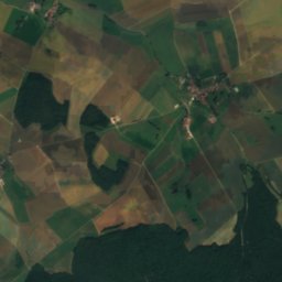
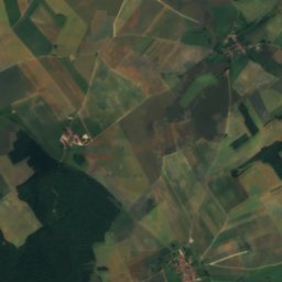
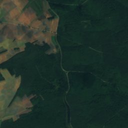
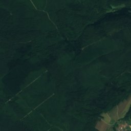
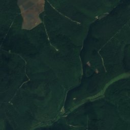
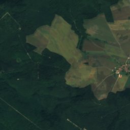
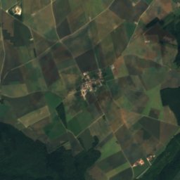
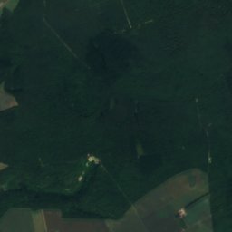
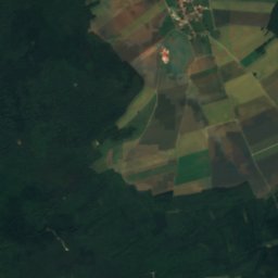
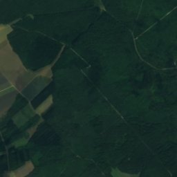
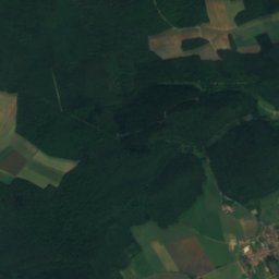
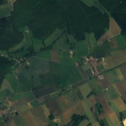
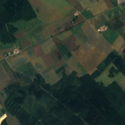
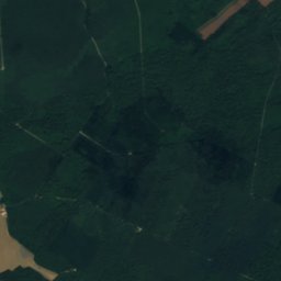
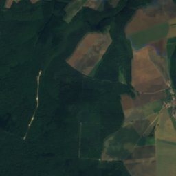
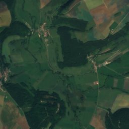
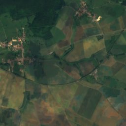
Satellite: Sentinel-2 cloudless 2016 by EOX IT Services GmbH · CC BY 4.0 · Contains modified Copernicus Sentinel data 2016
Mouzon, Grand Est
Photo: The original uploader was F5ZV at French Wikipedia. · CC BY-SA 3.0 · Wikimedia Commons
Mouzon, Grand EstReport this photo · linked, not stored
Mouzon, Grand Est
Ornain
Photo: TCY · CC BY-SA 3.0 · Wikimedia Commons
OrnainReport this photo · linked, not stored
Ornain
Rognon
Photo: Angeroux · Public domain · Wikimedia Commons
RognonReport this photo · linked, not stored
Rognon
Sueurre
Photo: Anthony Koenig · CC BY-SA 4.0 · Wikimedia Commons
SueurreReport this photo · linked, not stored
Sueurre
RiverChambroncourt, Grand Est

Manoise

RiverBest Jun–Jul · Sep
Elevation–above sea level
Length14 kmsource to mouth
Nearest townChambroncourt3.8 km
48.32° N, 5.42° EUTC+1 · Central European Standard Time
When to goChambroncourt · weather score
JanFebMarAprMayJunJulAugSepOctNovDec45October
Best timeJun–Jul · Sep
October: high / low15° / 7°
River

Manoise in brief

Manoise is a river in Chambroncourt, Grand Est, France.

The nearest town is Chambroncourt, 3.8 km to the N, where the weather is best in June, July and September.

Manoise is 14 km long.

Chambroncourt: weather and travel guide

Weather nearby now

Forecast for Chambroncourt
13°
Partly cloudy now
Wind16 km/h
Humidity61%
Cloud cover34%
Today
29 Oct
13°
4°
Fri
30 Oct
13°
3°
Sat
31 Oct
13°
4°
Sun
1 Nov
10°
4°
Mon
2 Nov
9°
2°

Model run 00:00 UTCRefreshed several times a day

When to go

The best months around Manoise

Climate of Chambroncourt

Month score in Chambroncourt

Comfort, dry days and sunshine · out of 100
15
Jan
23
Feb
26
Mar
54
Apr
63
May
68
Jun
70
Jul
68
Aug
72
Sep
45
Oct
16
Nov
12
Dec
Map

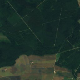
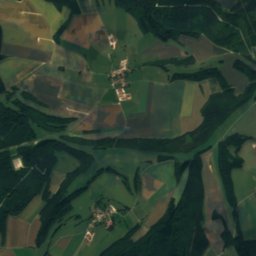
Manoise from above

Nature nearbyAll of France
Photo: The original uploader was F5ZV at French Wikipedia. · CC BY-SA 3.0 · Wikimedia CommonsReport this photo · linked, not stored
Mouzon, Grand EstRiver20 kmEMouzon, Grand Est
Photo: TCY · CC BY-SA 3.0 · Wikimedia CommonsReport this photo · linked, not stored
OrnainRiver20 kmNOrnain
Photo: Angeroux · Public domain · Wikimedia CommonsReport this photo · linked, not stored
RognonRiver20 kmWRognon
Photo: Anthony Koenig · CC BY-SA 4.0 · Wikimedia CommonsReport this photo · linked, not stored
SueurreRiver20 kmSSueurre
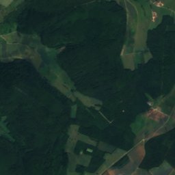
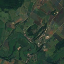
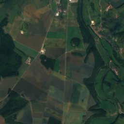
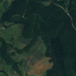
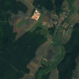
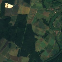
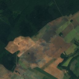
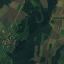
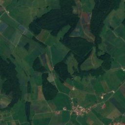
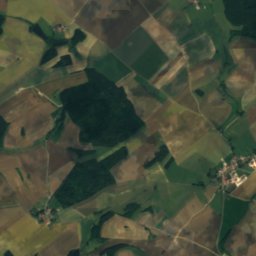
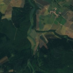
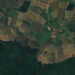
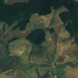
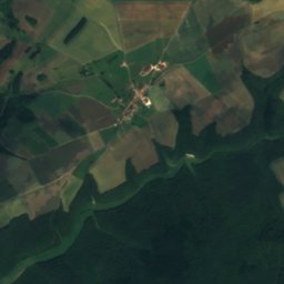
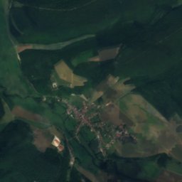
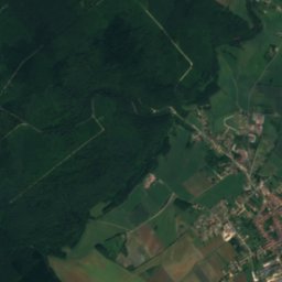
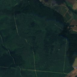
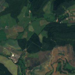
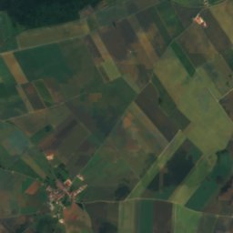
Satellite: Sentinel-2 cloudless 2016 by EOX IT Services GmbH · CC BY 4.0 · Contains modified Copernicus Sentinel data 2016
SaônelleRiver21 kmNESaônelle
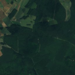
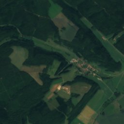
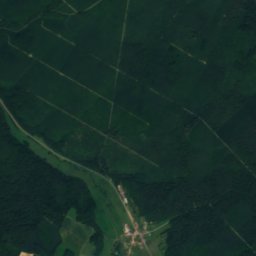
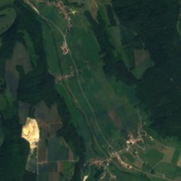
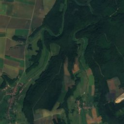
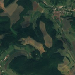
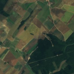
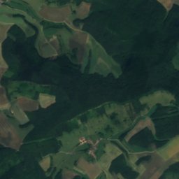
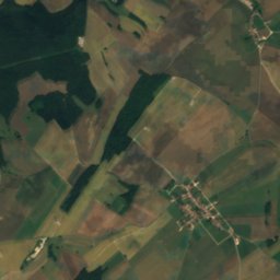
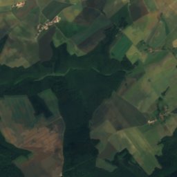
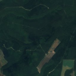
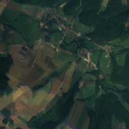
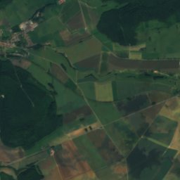
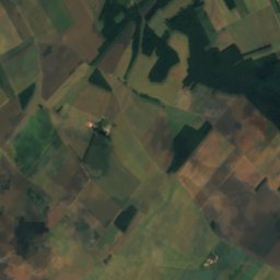
Satellite: Sentinel-2 cloudless 2016 by EOX IT Services GmbH · CC BY 4.0 · Contains modified Copernicus Sentinel data 2016
AngerRiver21 kmEAnger
Stay nearby

Towns close by

Chambroncourt
Photo: Rauenstein · CC BY-SA 3.0 · Wikimedia CommonsReport this photo · linked, not stored

Chambroncourt

Grand Est · 3.8 km N
15°Oct high
13wet days
45score
Chambroncourt
Vesaignes-sous-Lafauche
Photo: René Hourdry · CC BY-SA 4.0 · Wikimedia CommonsReport this photo · linked, not stored

Vesaignes-sous-Lafauche

Grand Est · 4.6 km S
15°Oct high
13wet days
47score
Vesaignes-sous-Lafauche
Aillianville
Photo: Itmightbeusefulforyougoodideathisname · CC BY-SA 4.0 · Wikimedia CommonsReport this photo · linked, not stored

Aillianville

Grand Est · 4.7 km NE
15°Oct high
13wet days
45score
Aillianville
Busson
Photo: C DIMEY 5252 · CC BY 4.0 · Wikimedia CommonsReport this photo · linked, not stored

Busson

Grand Est · 4.8 km W
15°Oct high
13wet days
45score
Busson
Around here

Chambroncourt and around

Chambroncourt
Photo: Rauenstein · CC BY-SA 3.0 · Wikimedia CommonsReport this photo · linked, not stored

Chambroncourt

Grand Est · France
Jun–Jul · Sepbest months
25°July high
376 maltitude
Chambroncourt

Nature

Ornain
Photo: TCY · CC BY-SA 3.0 · Wikimedia CommonsReport this photo · linked, not stored
17 km NE

Ornain

River
Ornain
Vair
Photo: Yorick Petey · CC BY-SA 3.0 · Wikimedia CommonsReport this photo · linked, not stored
24 km NE

Vair

River
Vair
Mouzon, Grand Est
Photo: The original uploader was F5ZV at French Wikipedia. · CC BY-SA 3.0 · Wikimedia CommonsReport this photo · linked, not stored
21 km E

Mouzon, Grand Est

River
Mouzon, Grand Est

Heritage

Église Saint-Pierre-et-Saint-Paul de Trampot
Photo: René Hourdry · CC BY-SA 4.0 · Wikimedia CommonsReport this photo · linked, not stored
2.6 km E

Église Saint-Pierre-et-Saint-Paul de Trampot

monument historique inscrit
Église Saint-Pierre-et-Saint-Paul de Trampot
Saints-Pierre-et-Paul
Photo: GFreihalter · CC BY-SA 3.0 · Wikimedia CommonsReport this photo · linked, not stored
13 km SW

Saints-Pierre-et-Paul

monument historique inscrit
Saints-Pierre-et-Paul
Église Sainte-Libaire de Grand
Photo: Pethrus · CC BY-SA 4.0 · Wikimedia CommonsReport this photo · linked, not stored
7.0 km NE

Église Sainte-Libaire de Grand

classified historical monument
Église Sainte-Libaire de Grand