Skip to content
Destinations
Weather & climate
Nature
Outdoors
Culture
Events
Sky & live
Mandrin cave
Photo: Thilo Parg · CC BY-SA 4.0 · Wikimedia Commons
Mandrin caveReport this photo · linked, not stored
Baume des Anges
Photo: JYB Devot · CC BY-SA 4.0 · Wikimedia Commons
Baume des AngesReport this photo · linked, not stored
Baume des Anges
Escoutay
Photo: Toutaitanous · CC BY-SA 3.0 · Wikimedia Commons
EscoutayReport this photo · linked, not stored
Escoutay
Roubion
Photo: M.Minderhoud · CC BY-SA 3.0 · Wikimedia Commons
RoubionReport this photo · linked, not stored
Roubion
Jabron, Auvergne-Rhône-Alpes
Photo: Davidsudest · CC BY-SA 3.0 · Wikimedia Commons
Jabron, Auvergne-Rhône-AlpesReport this photo · linked, not stored
Jabron, Auvergne-Rhône-Alpes
CaveMalataverne, Auvergne-Rhône-Alpes

Mandrin cave

CaveBest Apr · Sep–Oct
Elevation–above sea level
Inside14°Call year
Nearest townMalataverne2.3 km
44.47° N, 4.77° EUTC+2 · Central European Summer Time
When to goMalataverne · weather score
JanFebMarAprMayJunJulAugSepOctNovDec75October
Best timeApr · Sep–Oct
October: high / low20° / 10°
Cave

Mandrin cave in brief

Mandrin cave is a cave in Malataverne, Auvergne-Rhône-Alpes, France.

The nearest town in the atlas is Malataverne, 2.3 km to the NW, where the weather is best in April, September and October.

Inside, a cave stays close to the average yearly air temperature outside: about 14°C all year.

Malataverne: weather and travel guide

Weather nearby now

Forecast for Malataverne
16°
Cloudy now
Wind2 km/h
Humidity55%
Cloud cover89%
Today
22 Oct
17°
7°
Fri
23 Oct
18°
8°
7 mm
Sat
24 Oct
15°
7°
Sun
25 Oct
18°
8°
Mon
26 Oct
20°
12°

Model run 00:00 UTCRefreshed several times a day

When to go

The best months around Mandrin cave

Climate of Malataverne

Month score in Malataverne

Comfort, dry days and sunshine · out of 100
33
Jan
46
Feb
67
Mar
76
Apr
74
May
69
Jun
60
Jul
60
Aug
83
Sep
75
Oct
48
Nov
33
Dec
Map

Mandrin cave from above

Nature nearbyAll of France
Photo: JYB Devot · CC BY-SA 4.0 · Wikimedia CommonsReport this photo · linked, not stored
Baume des AngesCave5.6 kmWBaume des Anges
Photo: Toutaitanous · CC BY-SA 3.0 · Wikimedia CommonsReport this photo · linked, not stored
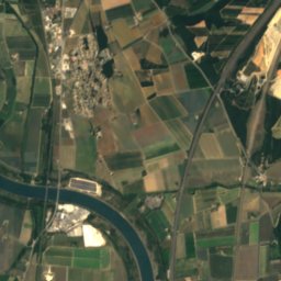
EscoutayRiver6.7 kmWEscoutay
Photo: M.Minderhoud · CC BY-SA 3.0 · Wikimedia CommonsReport this photo · linked, not stored
RoubionRiver8.1 kmNWRoubion
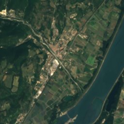
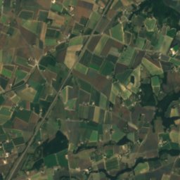
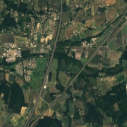
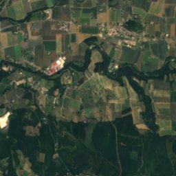
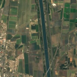
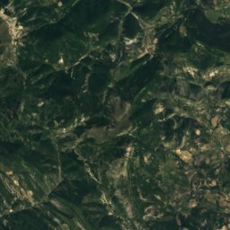
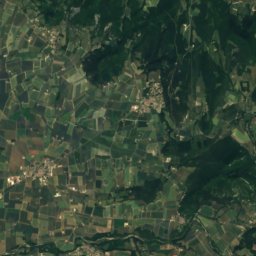
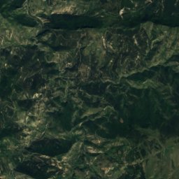
Satellite: Sentinel-2 cloudless 2016 by EOX IT Services GmbH · CC BY 4.0 · Contains modified Copernicus Sentinel data 2016
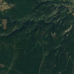
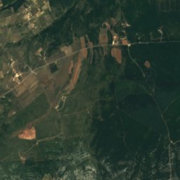
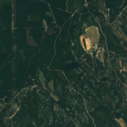
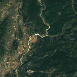
VermenonRiver9.0 kmNVermenon
Photo: Davidsudest · CC BY-SA 3.0 · Wikimedia CommonsReport this photo · linked, not stored
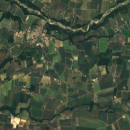
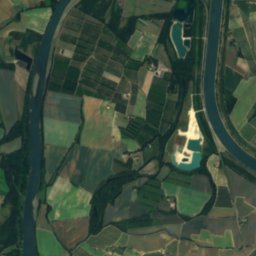
Jabron, Auvergne-Rhône-AlpesRiver9.3 kmNJabron, Auvergne-Rhône-Alpes
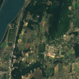
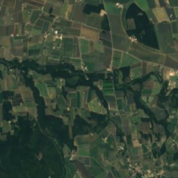
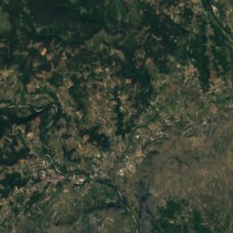
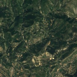
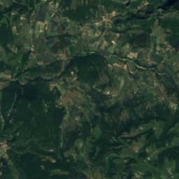
Satellite: Sentinel-2 cloudless 2016 by EOX IT Services GmbH · CC BY 4.0 · Contains modified Copernicus Sentinel data 2016
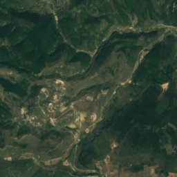
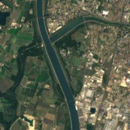
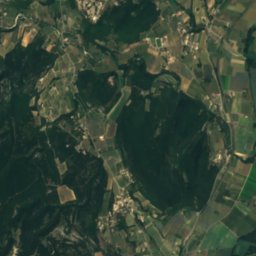
Berre, Auvergne-Rhône-AlpesRiver11 kmSWBerre, Auvergne-Rhône-Alpes
Summits nearbyMountains of France
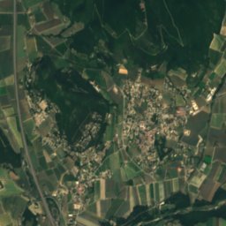
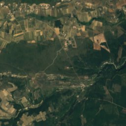
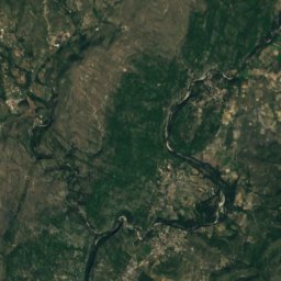
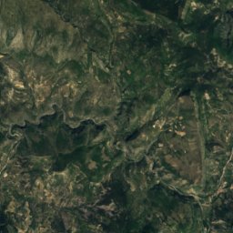
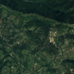
Satellite: Sentinel-2 cloudless 2016 by EOX IT Services GmbH · CC BY 4.0 · Contains modified Copernicus Sentinel data 2016
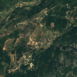
Dent de Rez22 km W726 mJuly 28°Dent de Rez
Photo: Patrice78500 · CC BY-SA 3.0 · Wikimedia CommonsReport this photo · linked, not stored
Neck de Sceautres21 km NW540 mJuly 28°Neck de Sceautres
Stay nearby

Towns close by

Malataverne
Photo: Thilo Parg · CC BY-SA 4.0 · Wikimedia CommonsReport this photo · linked, not stored

Malataverne

Auvergne-Rhône-Alpes · 2.3 km NW
20°Oct high
10wet days
75score
Malataverne
Allan
Photo: Marianne Casamance · CC BY-SA 3.0 · Wikimedia CommonsReport this photo · linked, not stored

Allan

Auvergne-Rhône-Alpes · 3.4 km NE
19°Oct high
10wet days
74score
Allan
Châteauneuf-du-Rhône
Photo: Sequajectrof · CC BY-SA 3.0 · Wikimedia CommonsReport this photo · linked, not stored

Châteauneuf-du-Rhône

Auvergne-Rhône-Alpes · 4.8 km NW
20°Oct high
10wet days
74score
Châteauneuf-du-Rhône
Roussas
Photo: BiiJii · CC BY-SA 3.0 · Wikimedia CommonsReport this photo · linked, not stored

Roussas

Auvergne-Rhône-Alpes · 4.9 km SE
20°Oct high
10wet days
74score
Roussas
Around here

Malataverne and around

Malataverne
Photo: Thilo Parg · CC BY-SA 4.0 · Wikimedia CommonsReport this photo · linked, not stored

Malataverne

Auvergne-Rhône-Alpes · France
Apr · Sep–Octbest months
31°July high
113 maltitude
Malataverne

Nature

Roubion
Photo: M.Minderhoud · CC BY-SA 3.0 · Wikimedia CommonsReport this photo · linked, not stored
5.9 km NW

Roubion

River
Roubion
Jabron, Auvergne-Rhône-Alpes
Photo: Davidsudest · CC BY-SA 3.0 · Wikimedia CommonsReport this photo · linked, not stored
7.4 km N

Jabron, Auvergne-Rhône-Alpes

River
Jabron, Auvergne-Rhône-Alpes
Escoutay
Photo: Toutaitanous · CC BY-SA 3.0 · Wikimedia CommonsReport this photo · linked, not stored
4.9 km W

Escoutay

River · 63 m
Escoutay

Mountains

Forêt de Saoû
Photo: Olivier Cleynen · CC BY 4.0 · Wikimedia CommonsReport this photo · linked, not stored
35 km NE

Forêt de Saoû

1,589 m · Massif du Diois
Forêt de Saoû
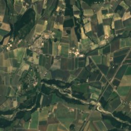
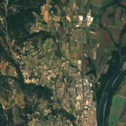
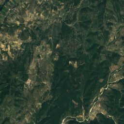
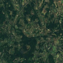
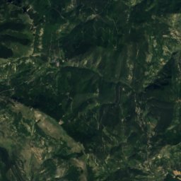
Satellite: Sentinel-2 cloudless 2016 by EOX IT Services GmbH · CC BY 4.0 · Contains modified Copernicus Sentinel data 2016
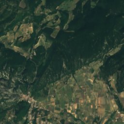
35 km E

Mielandre

1,451 m · Massif du Diois
Mielandre
Satellite: Sentinel-2 cloudless 2016 by EOX IT Services GmbH · CC BY 4.0 · Contains modified Copernicus Sentinel data 2016
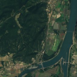
39 km E

Rochemuse

1,397 m
Rochemuse

Heritage

Hôtel d'Arlempdes
Photo: Marianne Casamance · CC BY-SA 3.0 · Wikimedia CommonsReport this photo · linked, not stored
3.0 km W

Hôtel d'Arlempdes

monument historique inscrit
Hôtel d'Arlempdes
Viviers Cathedral
Photo: Coyau / Wikimedia Commons · CC BY-SA 3.0 · Wikimedia CommonsReport this photo · linked, not stored
5.0 km W

Viviers Cathedral

classified historical monument
Viviers Cathedral
Chapelle Notre-Dame-du-Rhône de Viviers
Photo: MOSSOT · CC BY-SA 4.0 · Wikimedia CommonsReport this photo · linked, not stored
5.0 km W

Chapelle Notre-Dame-du-Rhône de Viviers

classified historical monument
Chapelle Notre-Dame-du-Rhône de Viviers

Museums

Musée départemental archéologique d'Alba-la-Romaine
Photo: Kakoula10 · CC BY-SA 4.0 · Wikimedia CommonsReport this photo · linked, not stored
15 km NW

Musée départemental archéologique d'Alba-la-Romaine

Archaeological museum
Musée départemental archéologique d'Alba-la-Romaine
Palais des Bonbons et du Nougat
Photo: Palaisbonbons · CC BY-SA 4.0 · Wikimedia CommonsReport this photo · linked, not stored
11 km N

Palais des Bonbons et du Nougat

Palais des Bonbons et du Nougat
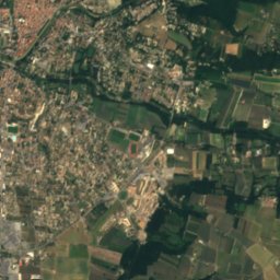
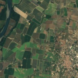
Satellite: Sentinel-2 cloudless 2016 by EOX IT Services GmbH · CC BY 4.0 · Contains modified Copernicus Sentinel data 2016
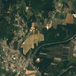
11 km SE

Musée du château de Grignan

Musée du château de Grignan