Skip to content
Destinations
Weather & climate
Nature
Outdoors
Culture
Events
Sky & live
Malaval cave
Photo: JYB Devot · CC BY-SA 4.0 · Wikimedia Commons
Malaval caveReport this photo · linked, not stored
Rûnes
Photo: Ancalagon · CC BY-SA 3.0 · Wikimedia Commons
RûnesReport this photo · linked, not stored
Rûnes
Tarnon
Photo: Szeder László · CC BY-SA 4.0 · Wikimedia Commons
TarnonReport this photo · linked, not stored
Tarnon
Mimente
Photo: Havang(nl) · CC0 · Wikimedia Commons
MimenteReport this photo · linked, not stored
Mimente
Rieumalet
Photo: Phillip Capper from Wellington, New Zealand · CC BY 2.0 · Wikimedia Commons
RieumaletReport this photo · linked, not stored
Rieumalet
CaveLes Bondons, Occitanie

Malaval cave

CaveBest Jul–Sep
Elevation–above sea level
Inside9°Call year
Nearest townLes Bondons1.4 km
44.39° N, 3.60° EUTC+2 · Central European Summer Time
When to goLes Bondons · weather score
JanFebMarAprMayJunJulAugSepOctNovDec44October
Best timeJul–Sep
October: high / low15° / 6°
Cave

Malaval cave in brief

Malaval cave is a cave in Les Bondons, Occitanie, France.

The nearest town in the atlas is Les Bondons, 1.4 km to the SE, where the weather is best in July, August and September.

Inside, a cave stays close to the average yearly air temperature outside: about 9°C all year.

Les Bondons: weather and travel guide

Weather nearby now

Forecast for Les Bondons
11°
Cloudy now
Wind7 km/h
Humidity75%
Cloud cover100%
Today
22 Oct
13°
5°
Fri
23 Oct
10°
5°
8 mm
Sat
24 Oct
11°
5°
2 mm
Sun
25 Oct
12°
7°
4 mm
Mon
26 Oct
17°
8°

Model run 00:00 UTCRefreshed several times a day

When to go

The best months around Malaval cave

Climate of Les Bondons

Month score in Les Bondons

Comfort, dry days and sunshine · out of 100
23
Jan
28
Feb
29
Mar
42
Apr
62
May
76
Jun
80
Jul
80
Aug
79
Sep
44
Oct
18
Nov
22
Dec
Map

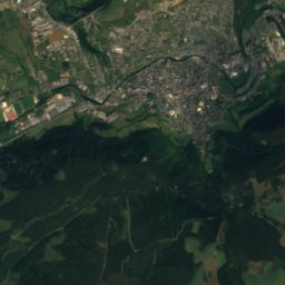
Malaval cave from above

Nature nearbyAll of France
Photo: Ancalagon · CC BY-SA 3.0 · Wikimedia CommonsReport this photo · linked, not stored
RûnesRiver5.2 kmSERûnes
Photo: Szeder László · CC BY-SA 4.0 · Wikimedia CommonsReport this photo · linked, not stored
TarnonRiver6.4 kmSTarnon
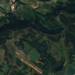
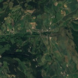
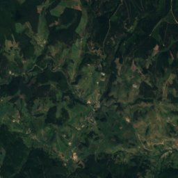
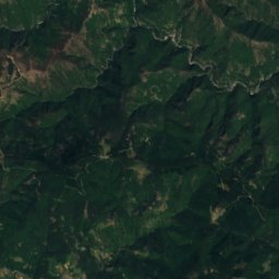
Satellite: Sentinel-2 cloudless 2016 by EOX IT Services GmbH · CC BY 4.0 · Contains modified Copernicus Sentinel data 2016
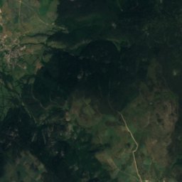
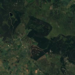
Étang de BarrandonLake6.8 kmNÉtang de Barrandon
Photo: Havang(nl) · CC0 · Wikimedia CommonsReport this photo · linked, not stored
MimenteRiver8.5 kmSMimente
Photo: Phillip Capper from Wellington, New Zealand · CC BY 2.0 · Wikimedia CommonsReport this photo · linked, not stored
RieumaletRiver12 kmERieumalet
Photo: Ancalagon · CC BY-SA 3.0 · Wikimedia CommonsReport this photo · linked, not stored
BramontRiver15 kmNWBramont
Summits nearbyMountains of France
Photo: Ancalagon · CC BY-SA 3.0 · Wikimedia CommonsReport this photo · linked, not stored
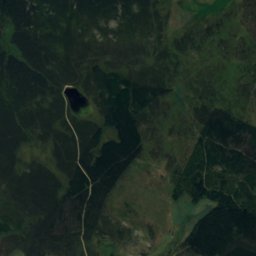
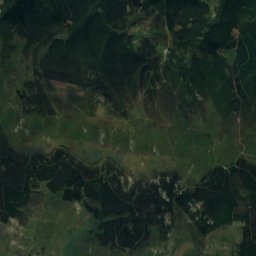
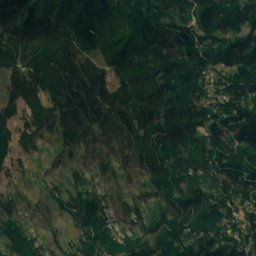
Sommet de Finiels11 km E1,699 mJuly 19°Sommet de Finiels
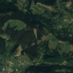
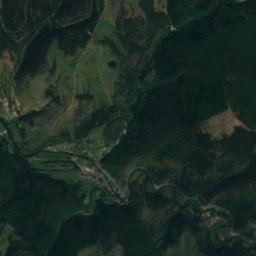
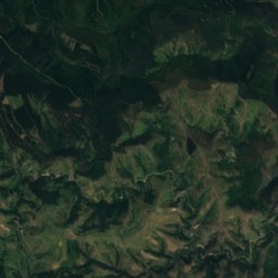
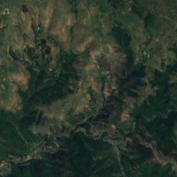
Satellite: Sentinel-2 cloudless 2016 by EOX IT Services GmbH · CC BY 4.0 · Contains modified Copernicus Sentinel data 2016
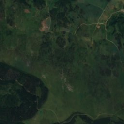
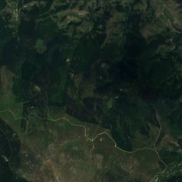
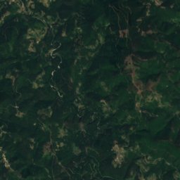
La Tete de Boeuf21 km E1,587 mJuly 20°La Tete de Boeuf
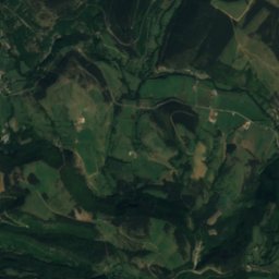
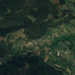
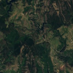
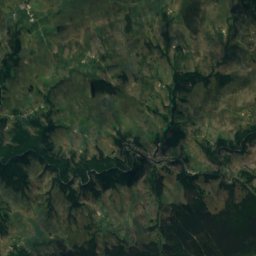
Satellite: Sentinel-2 cloudless 2016 by EOX IT Services GmbH · CC BY 4.0 · Contains modified Copernicus Sentinel data 2016
Mont Lozere - Pic Cassini19 km E1,542 mJuly 19°Mont Lozere - Pic Cassini
Photo: Weissenbachjean · CC BY-SA 4.0 · Wikimedia CommonsReport this photo · linked, not stored
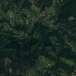
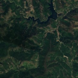
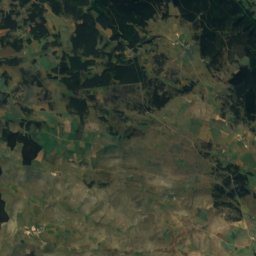
Montagne du Goulet20 km NE1,497 mJuly 21°Montagne du Goulet
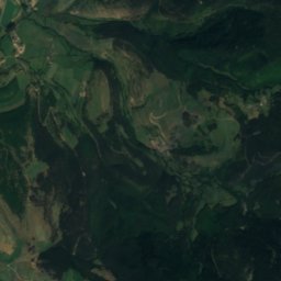
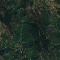
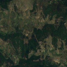
Satellite: Sentinel-2 cloudless 2016 by EOX IT Services GmbH · CC BY 4.0 · Contains modified Copernicus Sentinel data 2016
Mont Lozere - Roc des Laubies8.8 km NE1,492 mJuly 20°Mont Lozere - Roc des Laubies
Photo: Camillelecat · CC BY-SA 3.0 · Wikimedia CommonsReport this photo · linked, not stored
Signal de Ventalon19 km SE1,350 mJuly 23°Signal de Ventalon
Stay nearby

Towns close by

Les Bondons
Photo: Ancalagon · CC BY-SA 3.0 · Wikimedia CommonsReport this photo · linked, not stored

Les Bondons

Occitanie · 1.4 km SE
15°Oct high
13wet days
44score
Les Bondons
Ispagnac
Photo: Ancalagon · CC BY-SA 3.0 · Wikimedia CommonsReport this photo · linked, not stored

Ispagnac

Occitanie · 6.0 km SW
18°Oct high
13wet days
62score
Ispagnac
Florac
Photo: W. Bulach · CC BY-SA 4.0 · Wikimedia CommonsReport this photo · linked, not stored

Florac

Occitanie · 7.4 km S
17°Oct high
13wet days
59score
Florac
Saint-Étienne-du-Valdonnez
Photo: Ancalagon · CC BY-SA 3.0 · Wikimedia CommonsReport this photo · linked, not stored

Saint-Étienne-du-Valdonnez

Occitanie · 7.8 km NW
15°Oct high
13wet days
46score
Saint-Étienne-du-Valdonnez
Around here

Les Bondons and around

Les Bondons
Photo: Ancalagon · CC BY-SA 3.0 · Wikimedia CommonsReport this photo · linked, not stored

Les Bondons

Occitanie · France
Jul–Sepbest months
25°July high
935 maltitude
Les Bondons

Nature

Tarnon
Photo: Szeder László · CC BY-SA 4.0 · Wikimedia CommonsReport this photo · linked, not stored
6.1 km SW

Tarnon

River
Tarnon
Mimente
Photo: Havang(nl) · CC0 · Wikimedia CommonsReport this photo · linked, not stored
7.9 km S

Mimente

River
Mimente
Rûnes
Photo: Ancalagon · CC BY-SA 3.0 · Wikimedia CommonsReport this photo · linked, not stored
4.0 km SE

Rûnes

River
Rûnes

Mountains

Sommet de Finiels
Photo: Ancalagon · CC BY-SA 3.0 · Wikimedia CommonsReport this photo · linked, not stored
11 km NE

Sommet de Finiels

1,699 m · Mont Lozère
Sommet de Finiels
Satellite: Sentinel-2 cloudless 2016 by EOX IT Services GmbH · CC BY 4.0 · Contains modified Copernicus Sentinel data 2016
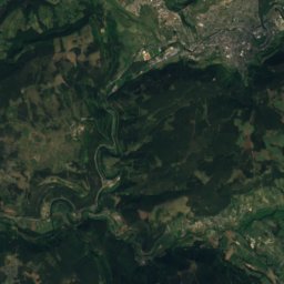
20 km E

La Tete de Boeuf

1,587 m
La Tete de Boeuf
Mont Aigoual
Photo: RobinL~commonswiki · CC BY-SA 2.5 · Wikimedia CommonsReport this photo · linked, not stored
30 km S

Mont Aigoual

1,567 m · Cévennes
Mont Aigoual

Heritage

Menhirs de Colobrières
Photo: BUFO8 · CC BY-SA 3.0 · Wikimedia CommonsReport this photo · linked, not stored
2.1 km NE

Menhirs de Colobrières

monument historique inscrit
Menhirs de Colobrières
Mausolée de Lanuéjols
Photo: Ancalagon · CC BY-SA 3.0 · Wikimedia CommonsReport this photo · linked, not stored
13 km N

Mausolée de Lanuéjols

classified historical monument · 200
Mausolée de Lanuéjols
Church of St. Peter and St. Paul of Ispagnac
Photo: W. Bulach · CC BY-SA 4.0 · Wikimedia CommonsReport this photo · linked, not stored
6.9 km W

Church of St. Peter and St. Paul of Ispagnac

classified historical monument
Church of St. Peter and St. Paul of Ispagnac

Museums

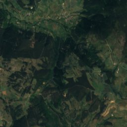
Satellite: Sentinel-2 cloudless 2016 by EOX IT Services GmbH · CC BY 4.0 · Contains modified Copernicus Sentinel data 2016
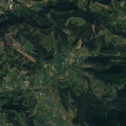
10 km E

Écomusée du mont Lozère

Ecomuseum
Écomusée du mont Lozère