


Skip to content
Destinations
Weather & climate
Nature
Outdoors
Culture
Events
Sky & live
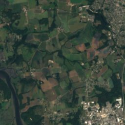
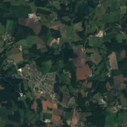
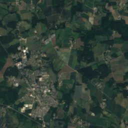
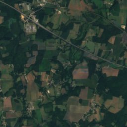
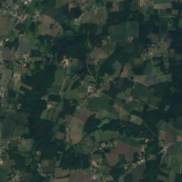
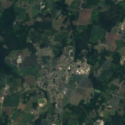
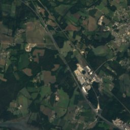
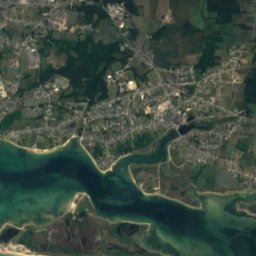
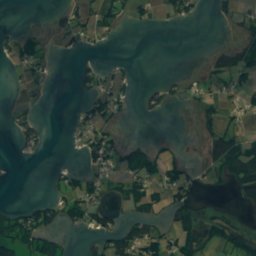
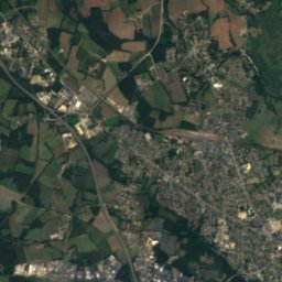
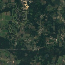
Satellite: Sentinel-2 cloudless 2016 by EOX IT Services GmbH · CC BY 4.0 · Contains modified Copernicus Sentinel data 2016
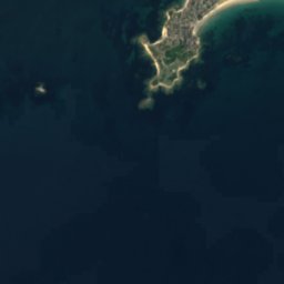
Île de Saint-Cado
Photo: Quoique · CC BY-SA 4.0 · Wikimedia Commons
Île de Saint-CadoReport this photo · linked, not stored
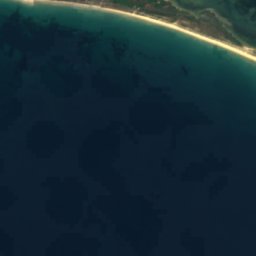
Île de Saint-Cado
Nichtarguer
Photo: Rémih · CC BY-SA 4.0 · Wikimedia Commons
NichtarguerReport this photo · linked, not stored
Nichtarguer
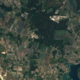
Îlot du Nohic
Photo: Moreau.henri · CC BY-SA 4.0 · Wikimedia Commons
Îlot du NohicReport this photo · linked, not stored
Îlot du Nohic
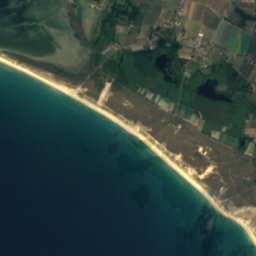
Plage de Kerminihy
Photo: Moreau.henri · CC BY-SA 4.0 · Wikimedia Commons
Plage de KerminihyReport this photo · linked, not stored
Plage de Kerminihy
IslandBelz, Brittany

Logoden

IslandBest Jun · Aug–Sep
Elevation–above sea level
Area0.0 km²surface
Nearest townBelz2.5 km
47.70° N, 3.18° WUTC+2 · Central European Summer Time
When to goBelz · weather score
JanFebMarAprMayJunJulAugSepOctNovDec57October
Best timeJun · Aug–Sep
October: high / low17° / 11°
Island

Logoden in brief

Logoden is an island in Belz, Brittany, France.

It covers about 0.0 km².

The nearest town in the atlas is Belz, 2.5 km to the S, where the weather is best in June, August and September.

Belz: weather and travel guide

Weather nearby now

Forecast for Belz
14°
Rain now
Wind23 km/h
Humidity92%
Cloud cover100%
Today
22 Oct
16°
11°
21 mm
Fri
23 Oct
16°
10°
7 mm
Sat
24 Oct
17°
10°
6 mm
Sun
25 Oct
17°
10°
5 mm
Mon
26 Oct
18°
12°
6 mm

Model run 00:00 UTCRefreshed several times a day

When to go

The best months around Logoden

Climate of Belz

Month score in Belz

Comfort, dry days and sunshine · out of 100
18
Jan
25
Feb
36
Mar
57
Apr
69
May
77
Jun
74
Jul
75
Aug
79
Sep
57
Oct
37
Nov
22
Dec
Map

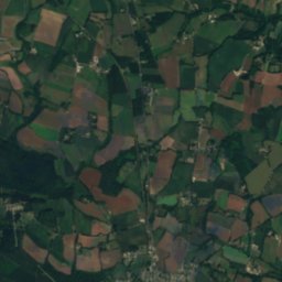
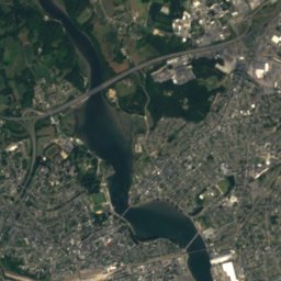
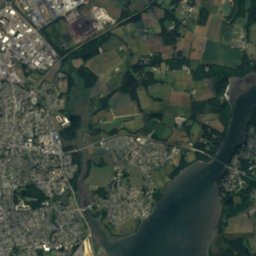
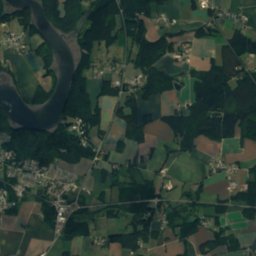
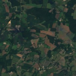
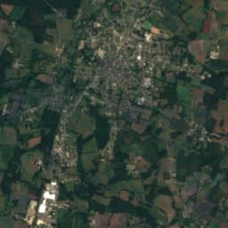
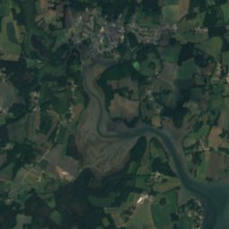
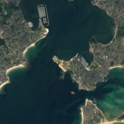
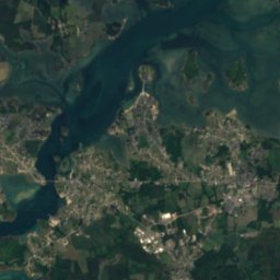
Logoden from above

Nature nearbyAll of France
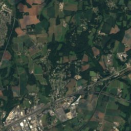
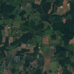
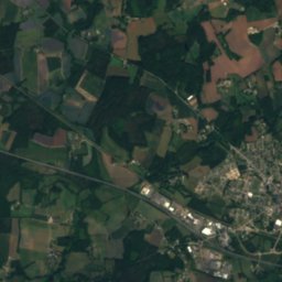
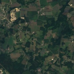
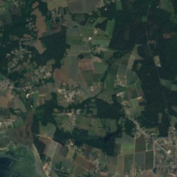
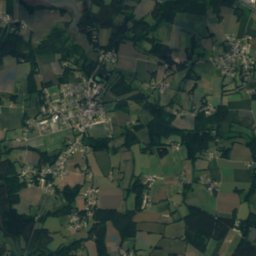
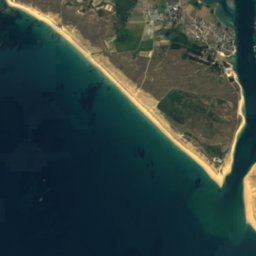
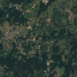
Satellite: Sentinel-2 cloudless 2016 by EOX IT Services GmbH · CC BY 4.0 · Contains modified Copernicus Sentinel data 2016
Iniz-Er-MourIsland0.4 kmEIniz-Er-Mour
Photo: Quoique · CC BY-SA 4.0 · Wikimedia CommonsReport this photo · linked, not stored
Île de Saint-CadoIsland1.2 kmSÎle de Saint-Cado
Photo: Rémih · CC BY-SA 4.0 · Wikimedia CommonsReport this photo · linked, not stored
NichtarguerIsland1.5 kmSWNichtarguer
Photo: Moreau.henri · CC BY-SA 4.0 · Wikimedia CommonsReport this photo · linked, not stored
Îlot du NohicIsland4.3 kmSWÎlot du Nohic
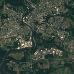
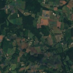
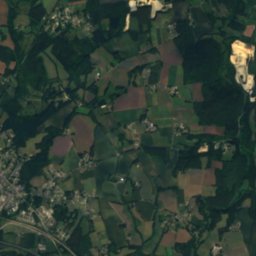
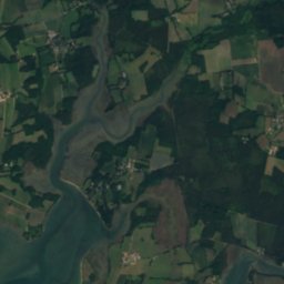
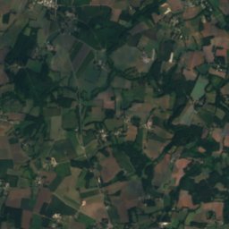
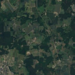
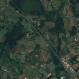
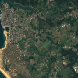
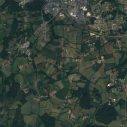
Satellite: Sentinel-2 cloudless 2016 by EOX IT Services GmbH · CC BY 4.0 · Contains modified Copernicus Sentinel data 2016
Basse RoheuIsland7.0 kmSWBasse Roheu
Photo: Moreau.henri · CC BY-SA 4.0 · Wikimedia CommonsReport this photo · linked, not stored
Plage de KerminihyBeach7.1 kmSPlage de Kerminihy
Stay nearby

Towns close by

Belz
Photo: Troyeseffigy · CC BY 3.0 · Wikimedia CommonsReport this photo · linked, not stored

Belz

Brittany · 2.5 km S
17°Oct high
14wet days
57score
Belz
Sainte-Hélène
Photo: Superjuju10 · CC BY-SA 3.0 · Wikimedia CommonsReport this photo · linked, not stored

Sainte-Hélène

Brittany · 3.0 km NW
17°Oct high
14wet days
57score
Sainte-Hélène
Étel
Photo: Édouard Hue (User:EdouardHue) · CC BY-SA 3.0 · Wikimedia CommonsReport this photo · linked, not stored

Étel

Brittany · 4.7 km S
17°Oct high
14wet days
57score
Étel
Plouhinec
Photo: XIIIfromTOKYO · CC BY-SA 3.0 · Wikimedia CommonsReport this photo · linked, not stored

Plouhinec

Brittany · 5.3 km W
17°Oct high
14wet days
56score
Plouhinec
Around here

Belz and around

Belz
Photo: Troyeseffigy · CC BY 3.0 · Wikimedia CommonsReport this photo · linked, not stored

Belz

Brittany · France
Jun · Aug–Sepbest months
23°July high
14 maltitude
Belz

Nature

Scorff
Photo: Personnel · CC BY-SA 3.0 · Wikimedia CommonsReport this photo · linked, not stored
15 km NW

Scorff

River
Scorff
Ével
Photo: LionelRauch · CC BY-SA 3.0 · Wikimedia CommonsReport this photo · linked, not stored
23 km N

Ével

River
Ével
Rivière d'Auray
Photo: William M. Connolley at the English-language Wikipedia · CC BY-SA 3.0 · Wikimedia CommonsReport this photo · linked, not stored
20 km SE

Rivière d'Auray

River
Rivière d'Auray

Heritage

Île de Saint-Cado
Photo: Quoique · CC BY-SA 4.0 · Wikimedia CommonsReport this photo · linked, not stored
1.7 km NW

Île de Saint-Cado

site naturel classé
Île de Saint-Cado
Dolmen de Kerhuen
Photo: Linou74 · CC BY-SA 3.0 · Wikimedia CommonsReport this photo · linked, not stored
0.6 km NW

Dolmen de Kerhuen

classified historical monument
Dolmen de Kerhuen
Dolmen de Kerlutu
Photo: Linou74 · CC BY-SA 3.0 · Wikimedia CommonsReport this photo · linked, not stored
0.9 km W

Dolmen de Kerlutu

classified historical monument
Dolmen de Kerlutu

Museums

Musée des Thoniers
Photo: Moreau.henri · CC BY-SA 4.0 · Wikimedia CommonsReport this photo · linked, not stored
3.2 km SW

Musée des Thoniers

2001
Musée des Thoniers
Prehistoric museum
Photo: Riottoso · CC BY-SA 4.0 · Wikimedia CommonsReport this photo · linked, not stored
12 km SE

Prehistoric museum

1882
Prehistoric museum
Musée de la Compagnie des Indes
Photo: Ji-Elle · CC BY-SA 3.0 · Wikimedia CommonsReport this photo · linked, not stored
15 km W

Musée de la Compagnie des Indes

Musée de la Compagnie des Indes