Skip to content
Destinations
Weather & climate
Nature
Outdoors
Culture
Events
Sky & live
Lignon
Photo: Anthospace · CC BY-SA 3.0 · Wikimedia Commons
LignonReport this photo · linked, not stored
Fontolière
Photo: Ardèche Webzine · CC BY-SA 4.0 · Wikimedia Commons
FontolièreReport this photo · linked, not stored
Fontolière
Bourges
Photo: Prankster · CC0 · Wikimedia Commons
BourgesReport this photo · linked, not stored
Bourges
Lande (rivière de l'Ardèche)
Photo: Kakoula10 · CC BY-SA 4.0 · Wikimedia Commons
Lande (rivière de l'Ardèche)Report this photo · linked, not stored
Lande (rivière de l'Ardèche)
Bézorgues
Photo: Sk8-608 · CC BY-SA 4.0 · Wikimedia Commons
BézorguesReport this photo · linked, not stored
Bézorgues
RiverPont-de-Labeaume, Auvergne-Rhône-Alpes

Lignon

RiverBest Apr · Jun · Sep
Elevation–above sea level
Length21 kmsource to mouth
Nearest townPont-de-Labeaume1.1 km
44.67° N, 4.28° EUTC+2 · Central European Summer Time
When to goPont-de-Labeaume · weather score
JanFebMarAprMayJunJulAugSepOctNovDec68October
Best timeApr · Jun · Sep
October: high / low18° / 9°
River

Lignon in brief

Lignon is a river in Pont-de-Labeaume, Auvergne-Rhône-Alpes, France.

The nearest town in the atlas is Pont-de-Labeaume, 1.1 km to the E, where the weather is best in April, June and September.

Lignon is 21 km long.

Pont-de-Labeaume: weather and travel guide

Weather nearby now

Forecast for Pont-de-Labeaume
14°
Cloudy now
Wind4 km/h
Humidity70%
Cloud cover91%
Today
22 Oct
17°
7°
Fri
23 Oct
16°
8°
2 mm
Sat
24 Oct
14°
7°
Sun
25 Oct
18°
8°
Mon
26 Oct
22°
11°

Model run 00:00 UTCRefreshed several times a day

The course of the river

As mapped in OpenStreetMap, with the towns of the atlas along its banks.
1234567
  1. 1La Souche539 m
  2. 2Jaujac411 m
  3. 3Saint-Cirgues-de-Prades422 m
  4. 4Fabras462 m
  5. 5Meyras435 m
  6. 6Chirols449 m
  7. 7Pont-de-Labeaume300 m
sourcemouth (or where the mapped line leaves the country)
When to go

The best months around Lignon

Climate of Pont-de-Labeaume

Month score in Pont-de-Labeaume

Comfort, dry days and sunshine · out of 100
27
Jan
34
Feb
56
Mar
70
Apr
68
May
69
Jun
61
Jul
63
Aug
80
Sep
68
Oct
37
Nov
26
Dec
Map

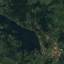
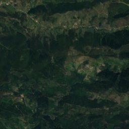
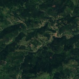
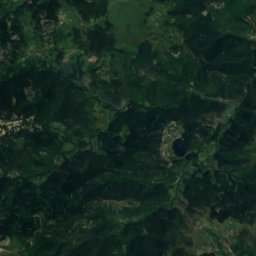
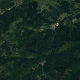
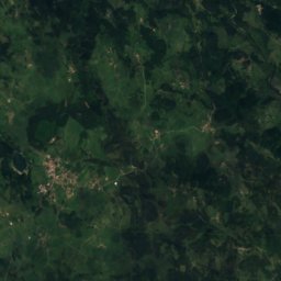
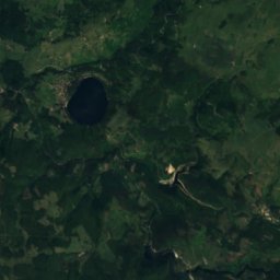
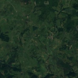
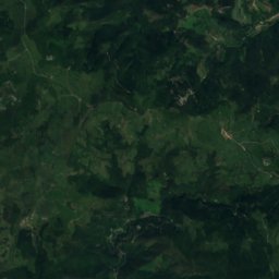
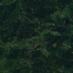
Lignon from above

Nature nearbyAll of France
Photo: Ardèche Webzine · CC BY-SA 4.0 · Wikimedia CommonsReport this photo · linked, not stored
FontolièreRiver1.0 kmEFontolière
Photo: Prankster · CC0 · Wikimedia CommonsReport this photo · linked, not stored
BourgesRiver3.4 kmNWBourges
Photo: Kakoula10 · CC BY-SA 4.0 · Wikimedia CommonsReport this photo · linked, not stored
Lande (rivière de l'Ardèche)River6.6 kmSLande (rivière de l'Ardèche)
Photo: Sk8-608 · CC BY-SA 4.0 · Wikimedia CommonsReport this photo · linked, not stored
BézorguesRiver7.2 kmEBézorgues
Photo: Veronimot · Public domain · Wikimedia CommonsReport this photo · linked, not stored
VolaneRiver7.4 kmEVolane
Photo: Kakoula10 · CC BY-SA 4.0 · Wikimedia CommonsReport this photo · linked, not stored
LuolRiver12 kmSELuol
Summits nearbyMountains of France
Photo: Unknown authorUnknown author · CC0 · Wikimedia CommonsReport this photo · linked, not stored
Suc de Taupernas23 km N1,609 mJuly 20°Suc de Taupernas
Photo: Jmp48 · CC BY-SA 4.0 · Wikimedia CommonsReport this photo · linked, not stored
Suc de Montfol22 km NW1,594 mJuly 20°Suc de Montfol
Photo: PRA · CC BY 2.5 · Wikimedia CommonsReport this photo · linked, not stored
Mont Gerbier de Jonc20 km N1,551 mJuly 21°Mont Gerbier de Jonc
Satellite: Sentinel-2 cloudless 2016 by EOX IT Services GmbH · CC BY 4.0 · Contains modified Copernicus Sentinel data 2016
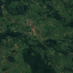
Les Valadous17 km W1,548 mJuly 21°Les Valadous
Satellite: Sentinel-2 cloudless 2016 by EOX IT Services GmbH · CC BY 4.0 · Contains modified Copernicus Sentinel data 2016
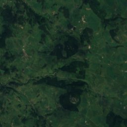
Les Coux17 km N1,531 mJuly 20°Les Coux
Photo: MOSSOT · CC BY-SA 4.0 · Wikimedia CommonsReport this photo · linked, not stored
Suc de Sara23 km N1,521 mJuly 21°Suc de Sara
Stay nearby

Towns close by

Pont-de-Labeaume
Photo: Christian Roustan · CC BY-SA 3.0 · Wikimedia CommonsReport this photo · linked, not stored

Pont-de-Labeaume

Auvergne-Rhône-Alpes · 1.1 km E
18°Oct high
12wet days
68score
Pont-de-Labeaume
Meyras
Photo: Christian Roustan · CC BY-SA 3.0 · Wikimedia CommonsReport this photo · linked, not stored

Meyras

Auvergne-Rhône-Alpes · 1.6 km NW
18°Oct high
12wet days
65score
Meyras
Chirols
Photo: Jean-François Renauld · CC BY-SA 4.0 · Wikimedia CommonsReport this photo · linked, not stored

Chirols

Auvergne-Rhône-Alpes · 2.2 km NE
17°Oct high
12wet days
64score
Chirols
Fabras
Photo: Kakoula10 · CC BY-SA 4.0 · Wikimedia CommonsReport this photo · linked, not stored

Fabras

Auvergne-Rhône-Alpes · 2.3 km SE
18°Oct high
12wet days
66score
Fabras
Around here

Pont-de-Labeaume and around

Pont-de-Labeaume
Photo: Christian Roustan · CC BY-SA 3.0 · Wikimedia CommonsReport this photo · linked, not stored

Pont-de-Labeaume

Auvergne-Rhône-Alpes · France
Apr · Jun · Sepbest months
29°July high
300 maltitude
Pont-de-Labeaume

Nature

Volane
Photo: Veronimot · Public domain · Wikimedia CommonsReport this photo · linked, not stored
6.3 km E

Volane

River
Volane
Fontolière
Photo: Ardèche Webzine · CC BY-SA 4.0 · Wikimedia CommonsReport this photo · linked, not stored
0.3 km N

Fontolière

River · 303 m
Fontolière
Bourges
Photo: Prankster · CC0 · Wikimedia CommonsReport this photo · linked, not stored
4.1 km NW

Bourges

River
Bourges

Mountains

Mount Mézenc
Photo: PRA · CC BY 2.5 · Wikimedia CommonsReport this photo · linked, not stored
28 km N

Mount Mézenc

1,753 m · massif du Mézenc
Mount Mézenc
Mont d'Alambre
Photo: MOSSOT · CC BY-SA 4.0 · Wikimedia CommonsReport this photo · linked, not stored
30 km N

Mont d'Alambre

1,691 m · massif du Mézenc
Mont d'Alambre
Suc de Taupernas
Photo: Unknown authorUnknown author · CC0 · Wikimedia CommonsReport this photo · linked, not stored
24 km NW

Suc de Taupernas

1,609 m
Suc de Taupernas

Heritage

Église Notre-Dame de Niègles
Photo: Celeda · CC BY-SA 4.0 · Wikimedia CommonsReport this photo · linked, not stored
0.4 km E

Église Notre-Dame de Niègles

monument historique inscrit
Église Notre-Dame de Niègles
Satellite: Sentinel-2 cloudless 2016 by EOX IT Services GmbH · CC BY 4.0 · Contains modified Copernicus Sentinel data 2016
0.4 km NW

Château de Ventadour, Pont-de-Labeaume

monument historique inscrit
Château de Ventadour, Pont-de-Labeaume
Château de Hautségur
Photo: Alainauzas · CC BY-SA 4.0 · Wikimedia CommonsReport this photo · linked, not stored
2.4 km NW

Château de Hautségur

monument historique inscrit
Château de Hautségur