
Photo: Fagairolles 34 · CC BY-SA 4.0 · Wikimedia Commons
LibronReport this photo · linked, not stored
LibronReport this photo · linked, not stored

Photo: Spedona · CC BY-SA 3.0 · Wikimedia Commons
Richelieu beachReport this photo · linked, not stored
Richelieu beachRichelieu beachReport this photo · linked, not stored

Photo: Eliedion · CC BY-SA 3.0 · Wikimedia Commons
Île des LoisirsReport this photo · linked, not stored
Île des LoisirsÎle des LoisirsReport this photo · linked, not stored

Photo: Spedona · CC BY-SA 3.0 · Wikimedia Commons
île de BrescouReport this photo · linked, not stored
île de Brescouîle de BrescouReport this photo · linked, not stored

Photo: Spedona · CC BY-SA 4.0 · Wikimedia Commons
Grande Conque BeachReport this photo · linked, not stored
Grande Conque BeachGrande Conque BeachReport this photo · linked, not stored
RiverVias, Occitanie
Libron
RiverBest May–Jun · Sep
Elevation–above sea level
Length44 kmsource to mouth
Nearest townVias2.8 km
43.29° N, 3.41° EUTC+1 · Central European Standard Time
When to goVias · weather score
Best timeMay–Jun · Sep
October: high / low21° / 13°
River
Libron in brief
Libron is a river in Vias, Occitanie, France.
The nearest town is Vias, 2.8 km to the N, where the weather is best in May, June and September.
Libron is 44 km long.
Weather nearby now
Forecast for Vias15°
Cloudy now
Today
26 Oct
21°
12°
Tue
27 Oct
21°
13°
Wed
28 Oct
22°
14°
Thu
29 Oct
19°
10°
Fri
30 Oct
20°
10°
Model run 12:00 UTCRefreshed several times a day
The course of the river
As mapped in OpenStreetMap, with the towns along its banks.- 1Laurens146 m
- 2Autignac163 m
- 3Saint-Geniès-de-Fontedit102 m
- 4Magalas132 m
- 5Puissalicon136 m
- 6Puimisson118 m
- 7Pailhès143 m
- 8Lieuran-lès-Béziers67 m
- 9Bassan90 m
- 10Boujan-sur-Libron62 m
- 11Vias11 m
sourcemouth (or where the mapped line leaves the country)
Map
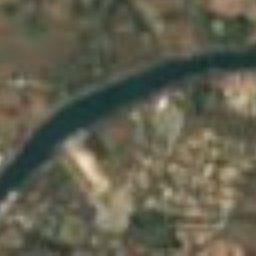
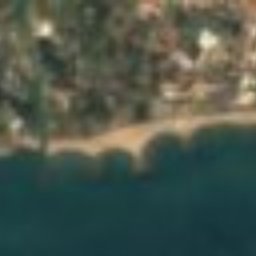
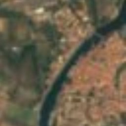
Libron from above
Nature nearbyAll of France
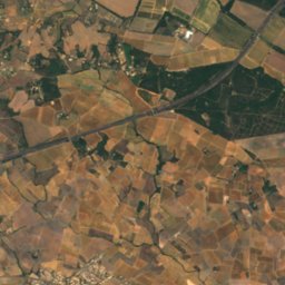
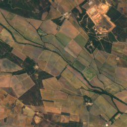
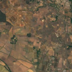
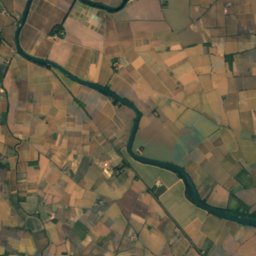
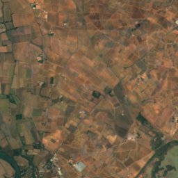
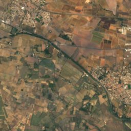
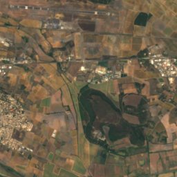
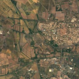
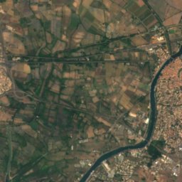
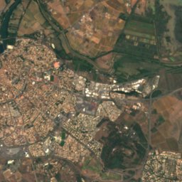
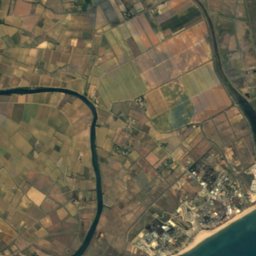
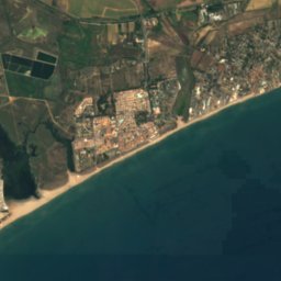
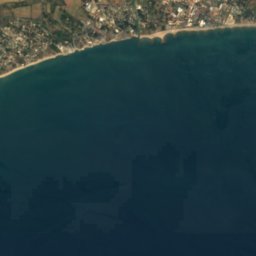
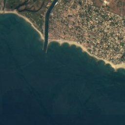
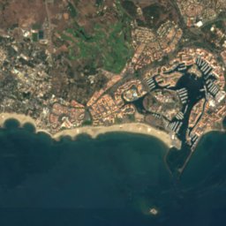
Satellite: Sentinel-2 cloudless 2016 by EOX IT Services GmbH · CC BY 4.0 · Contains modified Copernicus Sentinel data 2016


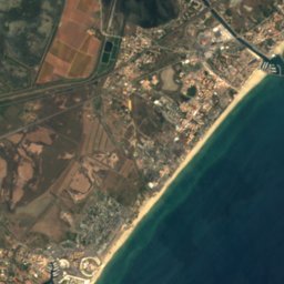
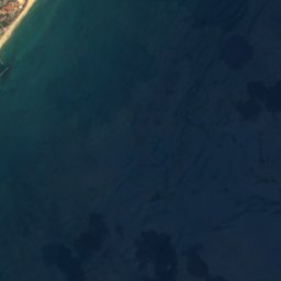
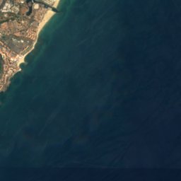






Satellite: Sentinel-2 cloudless 2016 by EOX IT Services GmbH · CC BY 4.0 · Contains modified Copernicus Sentinel data 2016

Stay nearby
Towns close by


Around here
Vias and around
Nature


Mountains

Heritage


Église Saint-Jean-Baptiste de Vias
classified historical monument

Museums



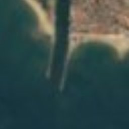
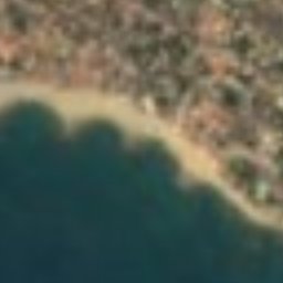
Satellite: Sentinel-2 cloudless 2016 by EOX IT Services GmbH · CC BY 4.0 · Contains modified Copernicus Sentinel data 2016
Bunker 638



Satellite: Sentinel-2 cloudless 2016 by EOX IT Services GmbH · CC BY 4.0 · Contains modified Copernicus Sentinel data 2016