

Photo: © Raimond Spekking & Elke Wetzig / CC BY-SA 4.0 (via Wikimedia Commons) · CC BY-SA 4.0 · Wikimedia Commons
MorelleReport this photo · linked, not stored
MorelleMorelleReport this photo · linked, not stored

Photo: Philippe Roudaut · CC0 · Wikimedia Commons
Plage du HavreReport this photo · linked, not stored
Plage du HavrePlage du HavreReport this photo · linked, not stored

Photo: Pymouss · CC BY-SA 3.0 · Wikimedia Commons
Plage du VasouyReport this photo · linked, not stored
Plage du VasouyPlage du VasouyReport this photo · linked, not stored
RiverHarfleur, Normandy
Lézarde
RiverBest Jun–Jul · Sep
Elevation–above sea level
Length14 kmsource to mouth
Nearest townHarfleur0.7 km
49.50° N, 0.20° EUTC+2 · Central European Summer Time
When to goHarfleur · weather score
Best timeJun–Jul · Sep
October: high / low16° / 10°
River
Lézarde in brief
Lézarde is a river in Harfleur, Normandy, France.
The nearest town in the atlas is Harfleur, 0.7 km to the N, where the weather is best in June, July and September.
Lézarde is 14 km long.
Weather nearby now
Forecast for Harfleur15°
Rain now
Today
22 Oct
16°
10°
8 mm
Fri
23 Oct
14°
9°
26 mm
Sat
24 Oct
15°
10°
15 mm
Sun
25 Oct
16°
12°
16 mm
Mon
26 Oct
18°
10°
4 mm
Model run 00:00 UTCRefreshed several times a day
The course of the river
As mapped in OpenStreetMap, with the towns of the atlas along its banks.- 1Gonfreville-l'Orcher96 m
- 2Harfleur4 m
- 3Rouelles30 m
- 4Fontaine-la-Mallet41 m
- 5Montivilliers14 m
- 6Fontenay40 m
- 7Épouville32 m
- 8Manéglise70 m
- 9Notre-Dame-du-Bec53 m
- 10Saint-Martin-du-Bec82 m
- 11Rolleville43 m
sourcemouth (or where the mapped line leaves the country)
Map
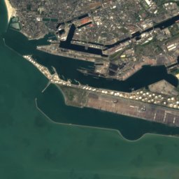
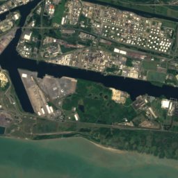
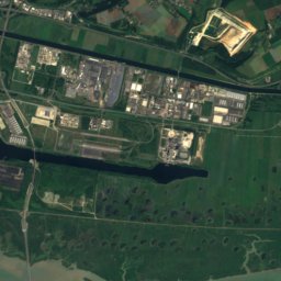
Lézarde from above
Nature nearbyAll of France


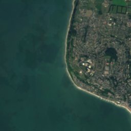
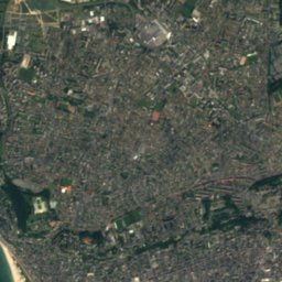
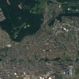



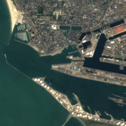
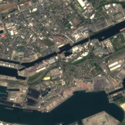



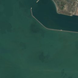
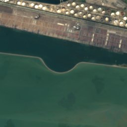
Satellite: Sentinel-2 cloudless 2016 by EOX IT Services GmbH · CC BY 4.0 · Contains modified Copernicus Sentinel data 2016

Photo: © Raimond Spekking & Elke Wetzig / CC BY-SA 4.0 (via Wikimedia Commons) · CC BY-SA 4.0 · Wikimedia CommonsReport this photo · linked, not stored

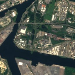
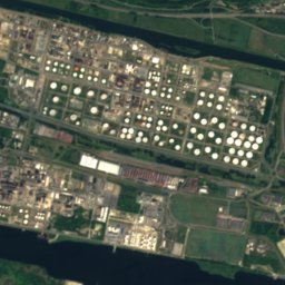
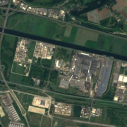
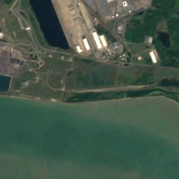
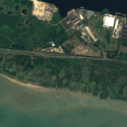
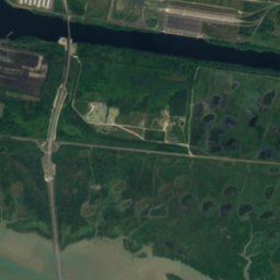

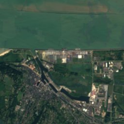
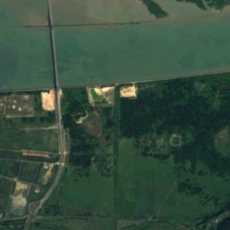
Satellite: Sentinel-2 cloudless 2016 by EOX IT Services GmbH · CC BY 4.0 · Contains modified Copernicus Sentinel data 2016

Satellite: Sentinel-2 cloudless 2016 by EOX IT Services GmbH · CC BY 4.0 · Contains modified Copernicus Sentinel data 2016
Stay nearby
Towns close by





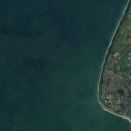
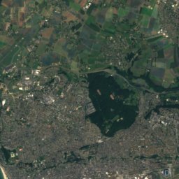
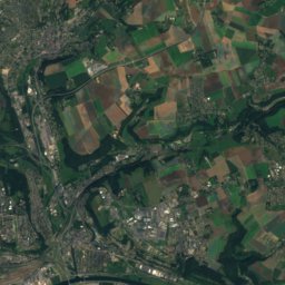
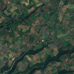


Satellite: Sentinel-2 cloudless 2016 by EOX IT Services GmbH · CC BY 4.0 · Contains modified Copernicus Sentinel data 2016
Rouelles
Normandy · 3.8 km NW
16°Oct high
16wet days
50score

Around here
Harfleur and around
Nature


Satellite: Sentinel-2 cloudless 2016 by EOX IT Services GmbH · CC BY 4.0 · Contains modified Copernicus Sentinel data 2016
Seine
River
Photo: © Raimond Spekking & Elke Wetzig / CC BY-SA 4.0 (via Wikimedia Commons) · CC BY-SA 4.0 · Wikimedia CommonsReport this photo · linked, not stored
Morelle
River

Heritage
Satellite: Sentinel-2 cloudless 2016 by EOX IT Services GmbH · CC BY 4.0 · Contains modified Copernicus Sentinel data 2016
Abbaye de Graville
classified historical monument · 1100

Photo: The original uploader was Snip at French Wikipedia. · CC BY-SA 1.0 · Wikimedia CommonsReport this photo · linked, not stored
Saint-Martin church (Harfleur)
classified historical monument
Museums


Satellite: Sentinel-2 cloudless 2016 by EOX IT Services GmbH · CC BY 4.0 · Contains modified Copernicus Sentinel data 2016
Musée du prieuré de Graville
Art museum


MuMa Museum of modern art André Malraux
Art museum · 1961