



Skip to content
Destinations
Weather & climate
Nature
Outdoors
Culture
Events
Sky & live
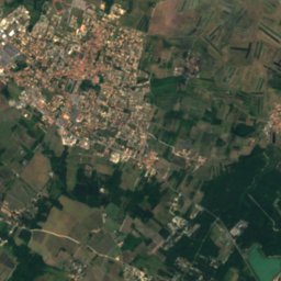
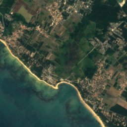
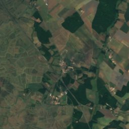
Satellite: Sentinel-2 cloudless 2016 by EOX IT Services GmbH · CC BY 4.0 · Contains modified Copernicus Sentinel data 2016
île Madame
Photo: W. Bulach · CC BY-SA 4.0 · Wikimedia Commons
île MadameReport this photo · linked, not stored
île Madame
IslandSaint-Froult, New Aquitaine

L’Estrées

IslandBest Jun–Jul · Sep
Elevation–above sea level
Area–surface
Nearest townSaint-Froult3.1 km
45.92° N, 1.10° WUTC+2 · Central European Summer Time
When to goSaint-Froult · weather score
JanFebMarAprMayJunJulAugSepOctNovDec67October
Best timeJun–Jul · Sep
October: high / low19° / 11°
Island

L’Estrées in brief

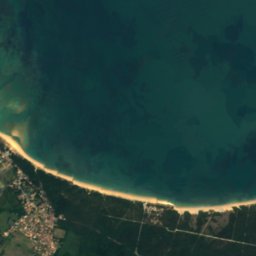
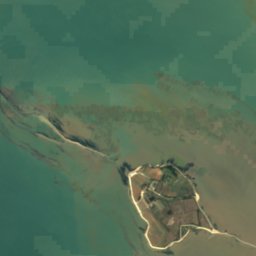
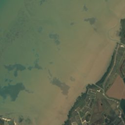
L’Estrées is an island in Saint-Froult, New Aquitaine, France.

The nearest town is Saint-Froult, 3.1 km to the E, where the weather is best in June, July and September.

Saint-Froult: weather and travel guide

Weather nearby now

Forecast for Saint-Froult
14°
Rain now
Wind36 km/h
Humidity65%
Cloud cover84%
Today
23 Oct
16°
12°
8 mm
Sat
24 Oct
17°
12°
5 mm
Sun
25 Oct
18°
11°
7 mm
Mon
26 Oct
19°
11°
2 mm
Tue
27 Oct
21°
12°
1 mm

Model run 12:00 UTCRefreshed several times a day

When to go

The best months around L’Estrées

Climate of Saint-Froult

Month score in Saint-Froult

Comfort, dry days and sunshine · out of 100
19
Jan
34
Feb
50
Mar
67
Apr
68
May
76
Jun
76
Jul
75
Aug
81
Sep
67
Oct
40
Nov
23
Dec
Map

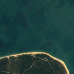
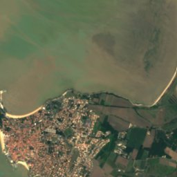
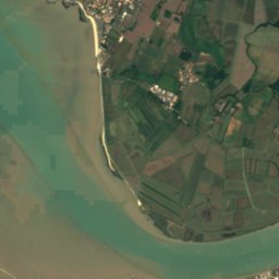
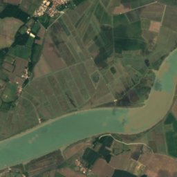
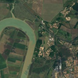
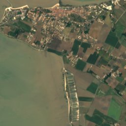
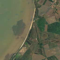
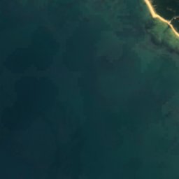
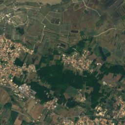
L’Estrées from above

Nature nearbyAll of France
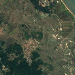
Satellite: Sentinel-2 cloudless 2016 by EOX IT Services GmbH · CC BY 4.0 · Contains modified Copernicus Sentinel data 2016
Le Petit OrmeauIsland2.8 kmNWLe Petit Ormeau
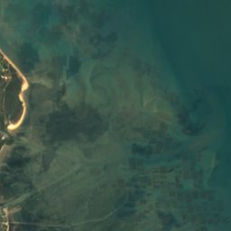
Satellite: Sentinel-2 cloudless 2016 by EOX IT Services GmbH · CC BY 4.0 · Contains modified Copernicus Sentinel data 2016
Le Grand OrmeauIsland3.3 kmNWLe Grand Ormeau
Photo: W. Bulach · CC BY-SA 4.0 · Wikimedia CommonsReport this photo · linked, not stored
île MadameIsland4.6 kmNîle Madame
Satellite: Sentinel-2 cloudless 2016 by EOX IT Services GmbH · CC BY 4.0 · Contains modified Copernicus Sentinel data 2016
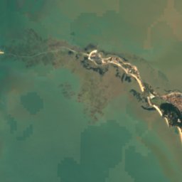
CharenteRiver4.7 kmNCharente
Satellite: Sentinel-2 cloudless 2016 by EOX IT Services GmbH · CC BY 4.0 · Contains modified Copernicus Sentinel data 2016
Les PallesIsland6.0 kmNWLes Palles
Satellite: Sentinel-2 cloudless 2016 by EOX IT Services GmbH · CC BY 4.0 · Contains modified Copernicus Sentinel data 2016
Rocher d'ErreIsland6.8 kmSWRocher d'Erre
Stay nearby

Towns close by

Saint-Froult
Photo: KiwiNeko14 · CC BY-SA 4.0 · Wikimedia CommonsReport this photo · linked, not stored

Saint-Froult

New Aquitaine · 3.1 km E
19°Oct high
12wet days
67score
Saint-Froult
Port-des-Barques
Photo: © Salix / Wikimedia Commons · CC BY-SA 3.0 · Wikimedia CommonsReport this photo · linked, not stored

Port-des-Barques

New Aquitaine · 3.8 km NE
19°Oct high
12wet days
67score
Port-des-Barques
Soubise
Photo: Llann Wé² · CC BY-SA 3.0 · Wikimedia CommonsReport this photo · linked, not stored

Soubise

New Aquitaine · 7.1 km E
19°Oct high
12wet days
67score
Soubise
Hiers-Brouage
Photo: Jean-Christophe BENOIST · CC BY 2.5 · Wikimedia CommonsReport this photo · linked, not stored

Hiers-Brouage

New Aquitaine · 7.7 km S
19°Oct high
12wet days
67score
Hiers-Brouage
Around here

Saint-Froult and around

Saint-Froult
Photo: KiwiNeko14 · CC BY-SA 4.0 · Wikimedia CommonsReport this photo · linked, not stored

Saint-Froult

New Aquitaine · France
Jun–Jul · Sepbest months
26°July high
9 maltitude
Saint-Froult

Nature

Satellite: Sentinel-2 cloudless 2016 by EOX IT Services GmbH · CC BY 4.0 · Contains modified Copernicus Sentinel data 2016
4.6 km N

Charente

River
Charente
Devise
Photo: KiwiNeko14 · CC BY-SA 4.0 · Wikimedia CommonsReport this photo · linked, not stored
7.6 km NE

Devise

River · 7 m
Devise
Arnoult
Photo: Tux-Man · CC BY-SA 3.0 · Wikimedia CommonsReport this photo · linked, not stored
11 km E

Arnoult

River
Arnoult

Heritage

fontaine de la Rouillasse
Photo: KiwiNeko14 · CC BY-SA 4.0 · Wikimedia CommonsReport this photo · linked, not stored
2.8 km E

fontaine de la Rouillasse

monument historique inscrit · 1814
fontaine de la Rouillasse
église Saint-Pierre de Moëze
Photo: Llann Wé² · CC BY-SA 3.0 · Wikimedia CommonsReport this photo · linked, not stored
2.4 km SE

église Saint-Pierre de Moëze

classified historical monument
église Saint-Pierre de Moëze
croix hosannière de Moëze
Photo: Llann Wé² · CC BY-SA 3.0 · Wikimedia CommonsReport this photo · linked, not stored
2.5 km SE

croix hosannière de Moëze

classified historical monument
croix hosannière de Moëze

Museums

Satellite: Sentinel-2 cloudless 2016 by EOX IT Services GmbH · CC BY 4.0 · Contains modified Copernicus Sentinel data 2016
8.1 km E

Musée National de la Marine de Rochefort

Naval museum
Musée National de la Marine de Rochefort
Musée napoléonien de l'île d'Aix
Photo: Ji-Elle · CC BY-SA 3.0 · Wikimedia CommonsReport this photo · linked, not stored
14 km NW

Musée napoléonien de l'île d'Aix

Musée napoléonien de l'île d'Aix
Musée régional de Fouras
Photo: Gilbert Bochenek · CC BY 3.0 · Wikimedia CommonsReport this photo · linked, not stored
8.2 km N

Musée régional de Fouras

Musée régional de Fouras