
Photo: Thibautsl · CC BY-SA 3.0 · Wikimedia Commons
Lac d'OssoueReport this photo · linked, not stored
Lac d'OssoueReport this photo · linked, not stored

Photo: Acer11 · CC BY-SA 3.0 · Wikimedia Commons
Refuge BayssellanceReport this photo · linked, not stored
Refuge BayssellanceRefuge BayssellanceReport this photo · linked, not stored

Photo: En rouge · CC BY-SA 4.0 · Wikimedia Commons
Petit Vignemale GlacierReport this photo · linked, not stored
Petit Vignemale GlacierPetit Vignemale GlacierReport this photo · linked, not stored

Photo: Thibautsl · CC BY-SA 3.0 · Wikimedia Commons
Glacier d'OssoueReport this photo · linked, not stored
Glacier d'OssoueGlacier d'OssoueReport this photo · linked, not stored

Photo: Patrick Rouzet · CC BY-SA 3.0 · Wikimedia Commons
Monte PerdidoReport this photo · linked, not stored
Monte PerdidoMonte PerdidoReport this photo · linked, not stored
LakeGavarnie, Occitanie
Lac d'Ossoue
LakeBest Jul–Sep
Elevation–above sea level
Area–surface
Nearest townGavarnie7.6 km
42.76° N, 0.10° WUTC+2 · Central European Summer Time
When to goGavarnie · weather score
Best timeJul–Sep
October: high / low14° / 5°
Lake
Lac d'Ossoue in brief
Lac d'Ossoue is a lake in Gavarnie, Occitanie, France.
The nearest town in the atlas is Gavarnie, 7.6 km to the E, where the weather is best in July, August and September.
Weather nearby now
Forecast for Gavarnie10°
Cloudy now
Today
22 Oct
11°
1°
Fri
23 Oct
7°
4°
2 mm
Sat
24 Oct
12°
3°
1 mm
Sun
25 Oct
16°
7°
Mon
26 Oct
19°
7°
Model run 00:00 UTCRefreshed several times a day
When to go
Climate of GavarnieThe best months around Lac d'Ossoue
Month score in Gavarnie
Comfort, dry days and sunshine · out of 10020
Jan
28
Feb
23
Mar
24
Apr
44
May
72
Jun
78
Jul
75
Aug
75
Sep
48
Oct
21
Nov
25
Dec
Map
Lac d'Ossoue from above
Nature nearbyAll of France
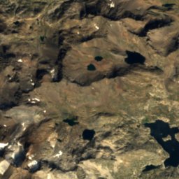
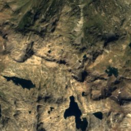
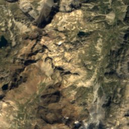
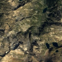
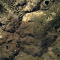
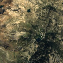
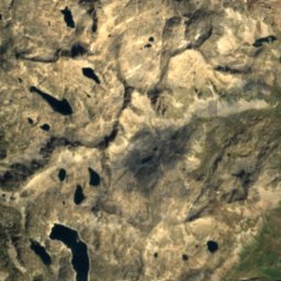
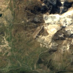
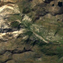
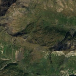
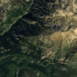
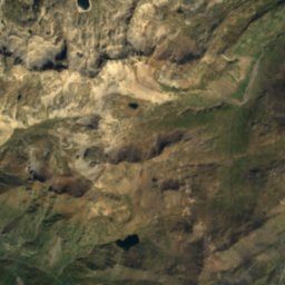
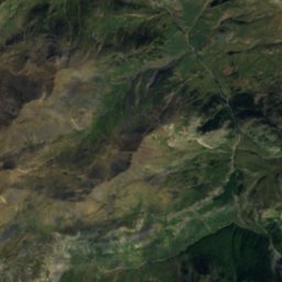
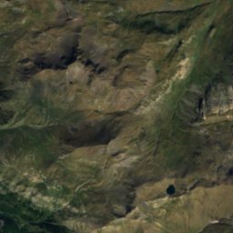
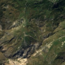
Satellite: Sentinel-2 cloudless 2016 by EOX IT Services GmbH · CC BY 4.0 · Contains modified Copernicus Sentinel data 2016
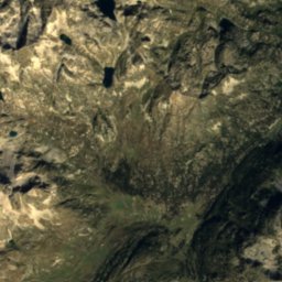
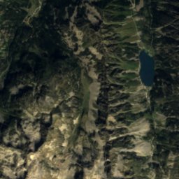
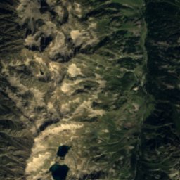
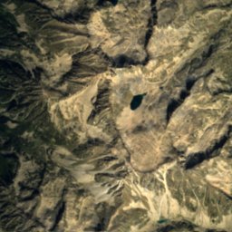
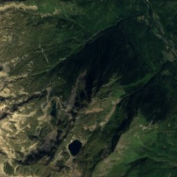
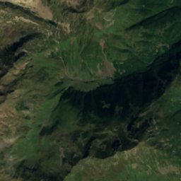
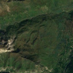
Satellite: Sentinel-2 cloudless 2016 by EOX IT Services GmbH · CC BY 4.0 · Contains modified Copernicus Sentinel data 2016
Satellite: Sentinel-2 cloudless 2016 by EOX IT Services GmbH · CC BY 4.0 · Contains modified Copernicus Sentinel data 2016


Summits nearbyMountains of France

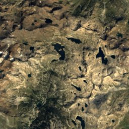
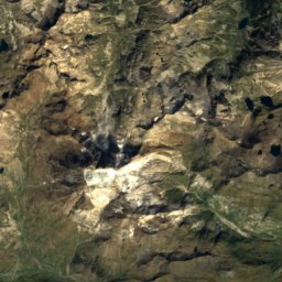
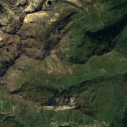
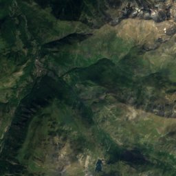
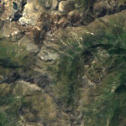
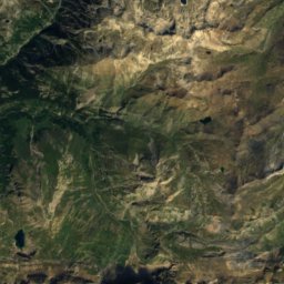
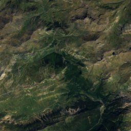
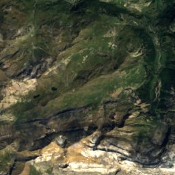
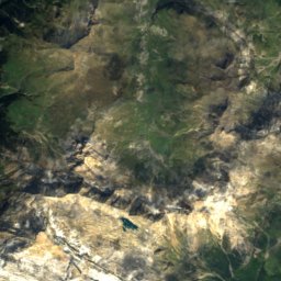
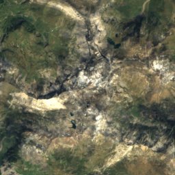
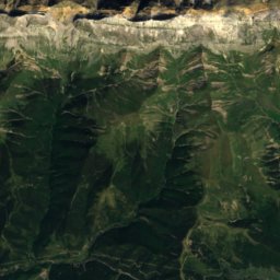
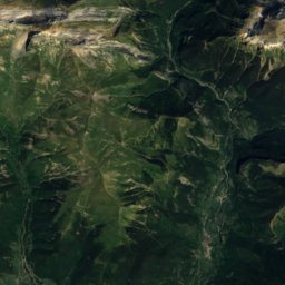
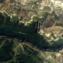
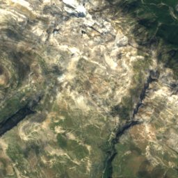
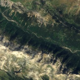
Satellite: Sentinel-2 cloudless 2016 by EOX IT Services GmbH · CC BY 4.0 · Contains modified Copernicus Sentinel data 2016

Photo: User Sea-empress on de.wikipedia · CC BY-SA 3.0 · Wikimedia CommonsReport this photo · linked, not stored

Satellite: Sentinel-2 cloudless 2016 by EOX IT Services GmbH · CC BY 4.0 · Contains modified Copernicus Sentinel data 2016

Stay nearby
Towns close by


Photo: The original uploader was Calips at French Wikipedia. · CC BY-SA 1.0 · Wikimedia CommonsReport this photo · linked, not stored
Gèdre
Occitanie · 10 km E
17°Oct high
11wet days
66score

Photo: Photo: JLPC / Wikimedia Commons · CC BY-SA 3.0 · Wikimedia CommonsReport this photo · linked, not stored
Cauterets
Occitanie · 15 km N
17°Oct high
11wet days
62score

Photo: Jean-Christophe BENOIST · CC BY 3.0 · Wikimedia CommonsReport this photo · linked, not stored
Luz-Saint-Sauveur
Occitanie · 15 km NE
19°Oct high
11wet days
70score
Around here
Gavarnie and around
Nature


Photo: Jean-Christophe BENOIST · CC BY 3.0 · Wikimedia CommonsReport this photo · linked, not stored
Gavarnie Falls
Waterfall · 2,200 m
Mountains

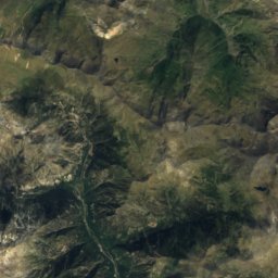
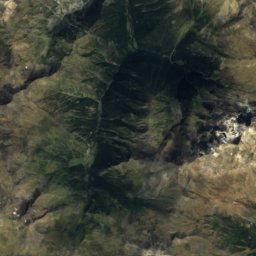
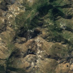
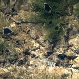
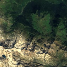
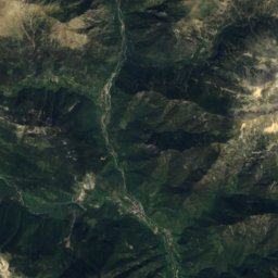
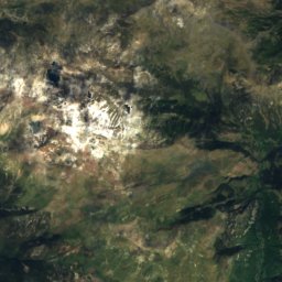
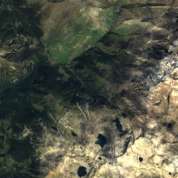
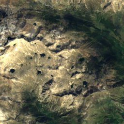
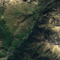
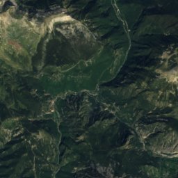
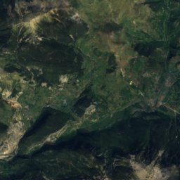
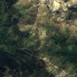
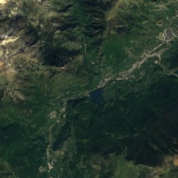
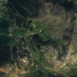
Satellite: Sentinel-2 cloudless 2016 by EOX IT Services GmbH · CC BY 4.0 · Contains modified Copernicus Sentinel data 2016
Espadas Peak
3,332 m · Posets Massif
Heritage

église Notre-Dame-du-Bon-Port, Gavarnie
part of UNESCO World Heritage Site

cimetière de Gavarnie
listed in the general inventory of cultural heritage


Satellite: Sentinel-2 cloudless 2016 by EOX IT Services GmbH · CC BY 4.0 · Contains modified Copernicus Sentinel data 2016
Pyrénées – Mont Perdu World Heritage Site
World Heritage Site