
 Lac d'Aubert

Photo: Père Igor · CC BY-SA 3.0 · Wikimedia Commons
Les LaquettesReport this photo · linked, not stored
Les LaquettesLes LaquettesReport this photo · linked, not stored

Photo: Pethrus · CC BY-SA 3.0 · Wikimedia Commons
Lac de Gourg de RabasReport this photo · linked, not stored
Lac de Gourg de RabasLac de Gourg de RabasReport this photo · linked, not stored

Photo: Père Igor · CC BY-SA 3.0 · Wikimedia Commons
Lac d'OrédonReport this photo · linked, not stored
Lac d'OrédonLac d'OrédonReport this photo · linked, not stored
LakeLa Mongie, Occitanie
Lac d'Aumar
Lake2,192 m elevationBest Jul–Sep
Elevation2,192 mabove sea level
Area0.3 km²surface
Nearest townLa Mongie8.0 km
42.84° N, 0.15° EElevation 2,192 mUTC+2 · Central European Summer Time
When to goLa Mongie · weather score
Best timeJul–Sep
October: high / low12° / 4°
Lake
Lac d'Aumar in brief
Lac d'Aumar is a lake in La Mongie, Occitanie, France.
It lies at 2,192 m above sea level and covers about 0.3 km².
The nearest town in the atlas is La Mongie, 8.0 km to the N, where the weather is best in July, August and September.
Weather nearby now
Forecast for La Mongie9°
Cloudy now
Today
22 Oct
9°
1°
Fri
23 Oct
6°
4°
7 mm
Sat
24 Oct
8°
4°
1 mm
Sun
25 Oct
12°
5°
Mon
26 Oct
15°
7°
Model run 00:00 UTCRefreshed several times a day
When to go
Climate of La MongieThe best months around Lac d'Aumar
Month score in La Mongie
Comfort, dry days and sunshine · out of 10021
Jan
28
Feb
24
Mar
18
Apr
24
May
54
Jun
74
Jul
72
Aug
57
Sep
37
Oct
23
Nov
25
Dec
Map
Lac d'Aumar from above
Nature nearbyAll of France


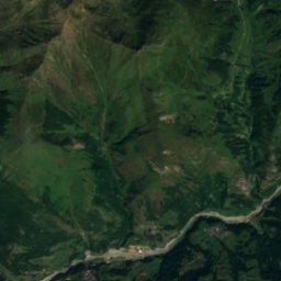
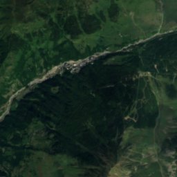
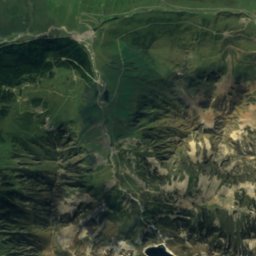
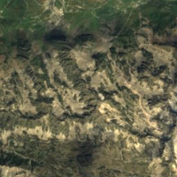
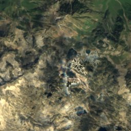
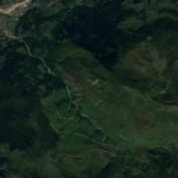
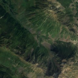
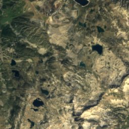
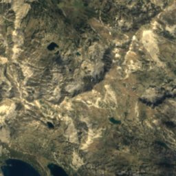
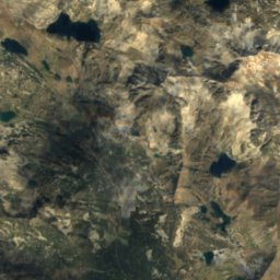
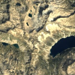
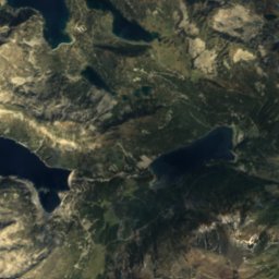
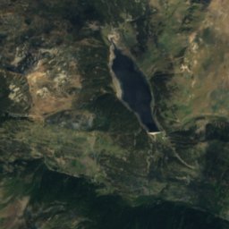
Satellite: Sentinel-2 cloudless 2016 by EOX IT Services GmbH · CC BY 4.0 · Contains modified Copernicus Sentinel data 2016
Summits nearbyMountains of France

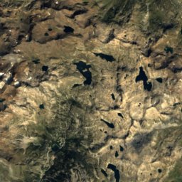
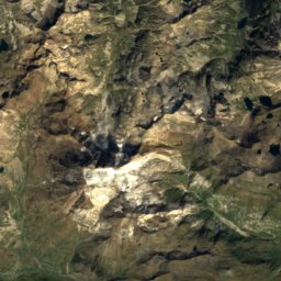
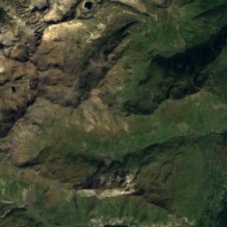
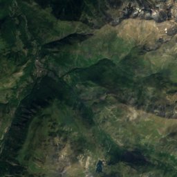
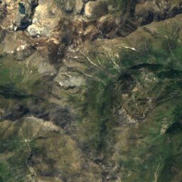
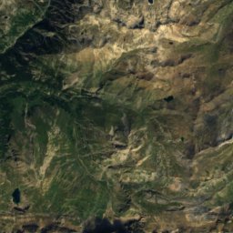
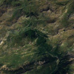
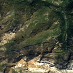
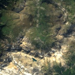
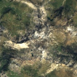
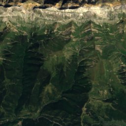
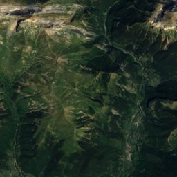
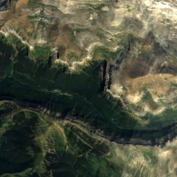
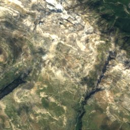
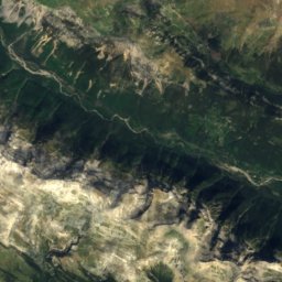
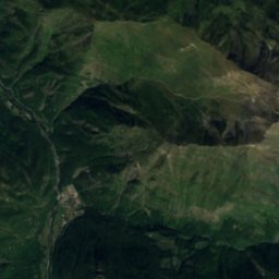
Satellite: Sentinel-2 cloudless 2016 by EOX IT Services GmbH · CC BY 4.0 · Contains modified Copernicus Sentinel data 2016
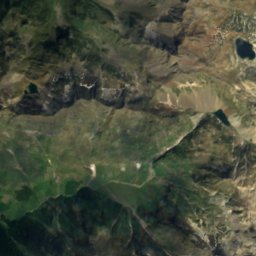
Satellite: Sentinel-2 cloudless 2016 by EOX IT Services GmbH · CC BY 4.0 · Contains modified Copernicus Sentinel data 2016


Stay nearby
Towns close by

Photo: Photo taken from the Pourteilh gondola on 16 March 2006 by Christophe Jacquet. · CC BY-SA 2.5 · Wikimedia CommonsReport this photo · linked, not stored
La Mongie
Occitanie · 8.0 km N
12°Oct high
11wet days
37score


Around here
La Mongie and around
Photo: Photo taken from the Pourteilh gondola on 16 March 2006 by Christophe Jacquet. · CC BY-SA 2.5 · Wikimedia CommonsReport this photo · linked, not stored
La Mongie
Occitanie · France
Jul–Sepbest months
18°July high
1,752 maltitude
Nature

Photo: Photo: JLPC / Wikimedia Commons · CC BY-SA 3.0 · Wikimedia CommonsReport this photo · linked, not stored
Lac de Payolle
Lake · 1,139 m

Mountains


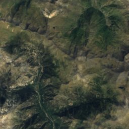
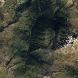
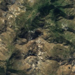
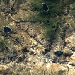
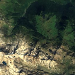
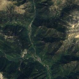
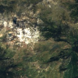
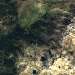
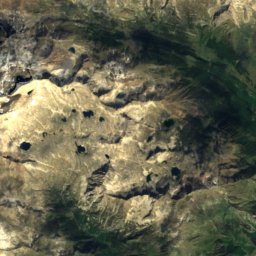
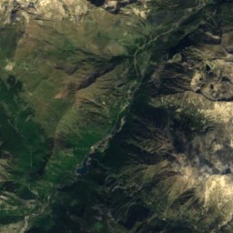
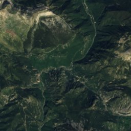
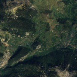
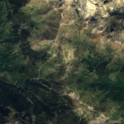
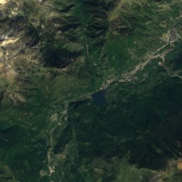
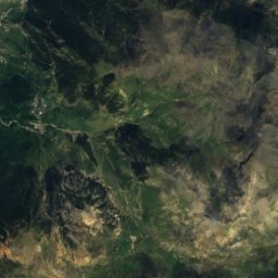
Satellite: Sentinel-2 cloudless 2016 by EOX IT Services GmbH · CC BY 4.0 · Contains modified Copernicus Sentinel data 2016
Espadas Peak
3,332 m · Posets Massif
Heritage


église Saint-Martin d'Aspin-Aure
listed in the general inventory of cultural heritage · 1876
Satellite: Sentinel-2 cloudless 2016 by EOX IT Services GmbH · CC BY 4.0 · Contains modified Copernicus Sentinel data 2016
Pic du Midi Observatory
Tentative World Heritage Site
Museums



Satellite: Sentinel-2 cloudless 2016 by EOX IT Services GmbH · CC BY 4.0 · Contains modified Copernicus Sentinel data 2016