Skip to content
Destinations
Weather & climate
Nature
Outdoors
Culture
Events
Sky & live
Lac d'Aiguebelette
Photo: N.B. · CC BY-SA 4.0 · Wikimedia Commons
Lac d'AiguebeletteReport this photo · linked, not stored
Leysse de Novalaise
Photo: Lal.sacienne · CC BY-SA 4.0 · Wikimedia Commons
Leysse de NovalaiseReport this photo · linked, not stored
Leysse de Novalaise
Saint-Christophe Caves
Photo: Florian Pépellin (Floflo) · CC BY-SA 4.0 · Wikimedia Commons
Saint-Christophe CavesReport this photo · linked, not stored
Saint-Christophe Caves
Hyères, Auvergne-Rhône-Alpes
Photo: Florian Pépellin · CC BY-SA 3.0 · Wikimedia Commons
Hyères, Auvergne-Rhône-AlpesReport this photo · linked, not stored
Hyères, Auvergne-Rhône-Alpes
Thiers
Photo: Patrice78500 · CC BY-SA 3.0 · Wikimedia Commons
ThiersReport this photo · linked, not stored
Thiers
LakeSaint-Alban-de-Montbel, Auvergne-Rhône-Alpes

Lac d'Aiguebelette

Lake373 m elevationBest Apr · Jun · Sep
Elevation373 mabove sea level
Area5.5 km²surface
Nearest townSaint-Alban-de-Montbel1.1 km
45.55° N, 5.80° EElevation 373 mUTC+2 · Central European Summer Time
When to goSaint-Alban-de-Montbel · weather score
JanFebMarAprMayJunJulAugSepOctNovDec62October
Best timeApr · Jun · Sep
October: high / low17° / 8°
Lake

Lac d'Aiguebelette in brief

Lac d'Aiguebelette is a lake in Saint-Alban-de-Montbel, Auvergne-Rhône-Alpes, France — French lake.

It lies at 373 m above sea level and covers about 5.5 km².

The nearest town in the atlas is Saint-Alban-de-Montbel, 1.1 km to the W, where the weather is best in April, June and September.

Saint-Alban-de-Montbel: weather and travel guide

Weather nearby now

Forecast for Saint-Alban-de-Montbel
13°
Cloudy now
Wind4 km/h
Humidity57%
Cloud cover73%
Today
22 Oct
14°
4°
Fri
23 Oct
13°
6°
8 mm
Sat
24 Oct
10°
4°
7 mm
Sun
25 Oct
13°
8°
8 mm
Mon
26 Oct
17°
8°

Model run 00:00 UTCRefreshed several times a day

The lake's water

Surface, average depth and volume of the lake, and the length of its shore.
Surface5.5 km²
Average depth19 m
Volume98 million m³
Shoreline14 km
average depth 19 msurface at 373 m
When to go

The best months around Lac d'Aiguebelette

Climate of Saint-Alban-de-Montbel

Month score in Saint-Alban-de-Montbel

Comfort, dry days and sunshine · out of 100
24
Jan
30
Feb
43
Mar
66
Apr
63
May
65
Jun
58
Jul
61
Aug
73
Sep
62
Oct
24
Nov
21
Dec
Map

Lac d'Aiguebelette from above

Nature nearbyAll of France
Photo: Lal.sacienne · CC BY-SA 4.0 · Wikimedia CommonsReport this photo · linked, not stored
Leysse de NovalaiseRiver2.2 kmNLeysse de Novalaise
Photo: Florian Pépellin (Floflo) · CC BY-SA 4.0 · Wikimedia CommonsReport this photo · linked, not stored
Saint-Christophe CavesCave6.9 kmSWSaint-Christophe Caves
Photo: Florian Pépellin · CC BY-SA 3.0 · Wikimedia CommonsReport this photo · linked, not stored
Hyères, Auvergne-Rhône-AlpesRiver9.2 kmEHyères, Auvergne-Rhône-Alpes
Photo: Patrice78500 · CC BY-SA 3.0 · Wikimedia CommonsReport this photo · linked, not stored
ThiersRiver9.5 kmWThiers
Photo: Floflo at French Wikipedia · CC BY-SA 2.5 · Wikimedia CommonsReport this photo · linked, not stored
LeysseRiver12 kmNELeysse
Photo: Patrice78500 · CC BY-SA 4.0 · Wikimedia CommonsReport this photo · linked, not stored
Lac de RomagnieuLake13 kmWLac de Romagnieu
Summits nearbyMountains of France
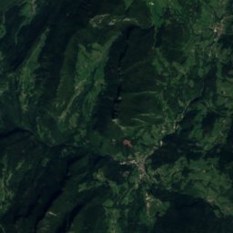
Photo: Patrice78500 · CC BY-SA 3.0 · Wikimedia CommonsReport this photo · linked, not stored
Lances de Malissard24 km S2,045 mJuly 16°Lances de Malissard
Photo: Gemini1980 · Public domain · Wikimedia CommonsReport this photo · linked, not stored
Grand Som20 km S2,026 mJuly 15°Grand Som
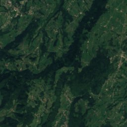
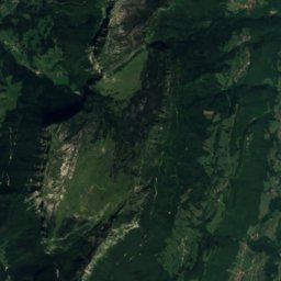
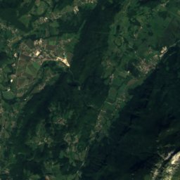
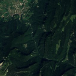
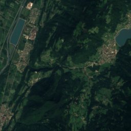
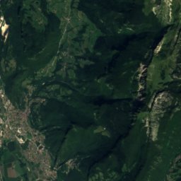
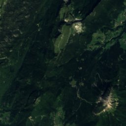
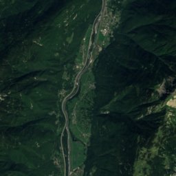
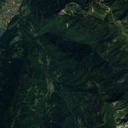
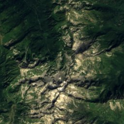
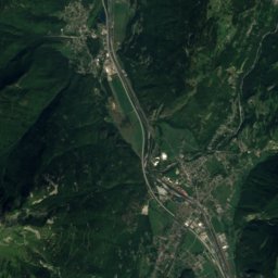
Satellite: Sentinel-2 cloudless 2016 by EOX IT Services GmbH · CC BY 4.0 · Contains modified Copernicus Sentinel data 2016
Dôme de Bellefont24 km S1,975 mJuly 16°Dôme de Bellefont
Photo: Unknown author · CC BY-SA 2.0 fr · Wikimedia CommonsReport this photo · linked, not stored
Mont Granier14 km SE1,933 mJuly 16°Mont Granier
Photo: Patafisik · CC BY-SA 4.0 · Wikimedia CommonsReport this photo · linked, not stored
L'Aulp du Seuil22 km S1,925 mJuly 17°L'Aulp du Seuil
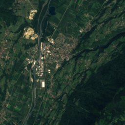
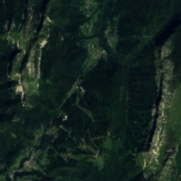
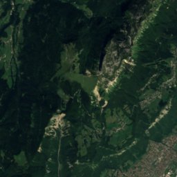
Satellite: Sentinel-2 cloudless 2016 by EOX IT Services GmbH · CC BY 4.0 · Contains modified Copernicus Sentinel data 2016
Piton de Bellefont25 km S1,876 mJuly 16°Piton de Bellefont
Stay nearby

Towns close by

Saint-Alban-de-Montbel
Photo: ClaudeMargot · Public domain · Wikimedia CommonsReport this photo · linked, not stored

Saint-Alban-de-Montbel

Auvergne-Rhône-Alpes · 1.1 km W
17°Oct high
12wet days
62score
Saint-Alban-de-Montbel
Aiguebelette-le-Lac
Photo: Florian Pépellin · CC BY-SA 3.0 · Wikimedia CommonsReport this photo · linked, not stored

Aiguebelette-le-Lac

Auvergne-Rhône-Alpes · 2.1 km SE
17°Oct high
12wet days
61score
Aiguebelette-le-Lac
Lépin-le-Lac
Photo: Jacmin · CC BY-SA 3.0 · Wikimedia CommonsReport this photo · linked, not stored

Lépin-le-Lac

Auvergne-Rhône-Alpes · 2.1 km S
17°Oct high
12wet days
62score
Lépin-le-Lac
Dullin
Photo: Reivax38000 · CC BY-SA 4.0 · Wikimedia CommonsReport this photo · linked, not stored

Dullin

Auvergne-Rhône-Alpes · 4.0 km W
16°Oct high
12wet days
59score
Dullin
Around here

Saint-Alban-de-Montbel and around

Saint-Alban-de-Montbel
Photo: ClaudeMargot · Public domain · Wikimedia CommonsReport this photo · linked, not stored

Saint-Alban-de-Montbel

Auvergne-Rhône-Alpes · France
Apr · Jun · Sepbest months
28°July high
408 maltitude
Saint-Alban-de-Montbel

Nature

Thiers
Photo: Patrice78500 · CC BY-SA 3.0 · Wikimedia CommonsReport this photo · linked, not stored
8.5 km W

Thiers

River
Thiers
Hyères, Auvergne-Rhône-Alpes
Photo: Florian Pépellin · CC BY-SA 3.0 · Wikimedia CommonsReport this photo · linked, not stored
10 km E

Hyères, Auvergne-Rhône-Alpes

River
Hyères, Auvergne-Rhône-Alpes
Lac de Romagnieu
Photo: Patrice78500 · CC BY-SA 4.0 · Wikimedia CommonsReport this photo · linked, not stored
12 km W

Lac de Romagnieu

Lake · 218 m
Lac de Romagnieu

Mountains

Rocher d'Arguille
Photo: Florian Pépellin · CC BY-SA 4.0 · Wikimedia CommonsReport this photo · linked, not stored
40 km SE

Rocher d'Arguille

2,885 m · Belledonne
Rocher d'Arguille
Pic du Frêne
Photo: Florian Pépellin · CC BY-SA 4.0 · Wikimedia CommonsReport this photo · linked, not stored
39 km SE

Pic du Frêne

2,807 m · Belledonne
Pic du Frêne
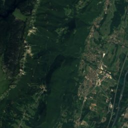
Satellite: Sentinel-2 cloudless 2016 by EOX IT Services GmbH · CC BY 4.0 · Contains modified Copernicus Sentinel data 2016
40 km SE

le Grand Morétan

2,775 m · Belledonne
le Grand Morétan

Heritage

Elephants Fountain
Photo: Ferrand, Henri (1853-1926). Photographe · Public domain · Wikimedia CommonsReport this photo · linked, not stored
11 km E

Elephants Fountain

classified historical monument · 1838
Elephants Fountain
Théâtre Charles-Dullin
Photo: Florian Pépellin · CC BY-SA 3.0 · Wikimedia CommonsReport this photo · linked, not stored
11 km E

Théâtre Charles-Dullin

classified historical monument · 1864
Théâtre Charles-Dullin
Chambéry Cathedral
Photo: Florian Pépellin · CC BY-SA 3.0 · Wikimedia CommonsReport this photo · linked, not stored
11 km E

Chambéry Cathedral

classified historical monument
Chambéry Cathedral

Museums

Musée des Beaux-Arts de Chambéry
Photo: Florian Pépellin · CC BY-SA 3.0 · Wikimedia CommonsReport this photo · linked, not stored
11 km E

Musée des Beaux-Arts de Chambéry

Art museum
Musée des Beaux-Arts de Chambéry
Musée gallo-romain d'Aoste
Photo: Musée Gallo-Romain d'Aoste (Isère) · CC BY-SA 4.0 · Wikimedia CommonsReport this photo · linked, not stored
14 km W

Musée gallo-romain d'Aoste

Musée gallo-romain d'Aoste
Muséum d'histoire naturelle de Chambéry
Photo: Florian Pépellin · CC BY-SA 3.0 · Wikimedia CommonsReport this photo · linked, not stored
10 km E

Muséum d'histoire naturelle de Chambéry

Natural history museum · 1846
Muséum d'histoire naturelle de Chambéry