Skip to content
Destinations
Weather & climate
Nature
Outdoors
Culture
Events
Sky & live
Isole
Photo: Lanzonnet · CC BY-SA 3.0 · Wikimedia Commons
IsoleReport this photo · linked, not stored
Ellé
Photo: Lanzonnet · CC BY-SA 3.0 · Wikimedia Commons
ElléReport this photo · linked, not stored
Ellé
Laïta
Photo: Youenn BARBE · CC BY 2.5 · Wikimedia Commons
LaïtaReport this photo · linked, not stored
Laïta
RiverQuimperlé, Brittany

Isole

RiverBest Jun · Aug–Sep
Elevation–above sea level
Length48 kmsource to mouth
Nearest townQuimperlé0.4 km
47.87° N, 3.55° WUTC+2 · Central European Summer Time
When to goQuimperlé · weather score
JanFebMarAprMayJunJulAugSepOctNovDec56October
Best timeJun · Aug–Sep
October: high / low17° / 10°
River

Isole in brief

Isole is a river in Quimperlé, Brittany, France — French river.

The nearest town in the atlas is Quimperlé, 0.4 km to the NW, where the weather is best in June, August and September.

Isole is 48 km long.

Quimperlé: weather and travel guide

Weather nearby now

Forecast for Quimperlé
14°
Rain now
Wind29 km/h
Humidity88%
Cloud cover100%
Today
22 Oct
16°
11°
18 mm
Fri
23 Oct
16°
9°
8 mm
Sat
24 Oct
17°
10°
6 mm
Sun
25 Oct
17°
10°
4 mm
Mon
26 Oct
18°
11°
5 mm

Model run 00:00 UTCRefreshed several times a day

The course of the river

As mapped in OpenStreetMap, with the towns of the atlas along its banks.
1234
  1. 1Scaër184 m
  2. 2Mellac94 m
  3. 3Tréméven96 m
  4. 4Quimperlé39 m
sourcemouth (or where the mapped line leaves the country)
When to go

The best months around Isole

Climate of Quimperlé

Month score in Quimperlé

Comfort, dry days and sunshine · out of 100
Map

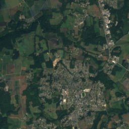
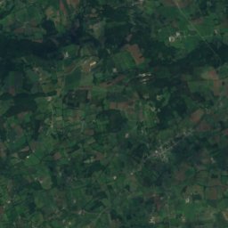
Isole from above

Nature nearbyAll of France
Photo: Lanzonnet · CC BY-SA 3.0 · Wikimedia CommonsReport this photo · linked, not stored
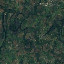
ElléRiverunder 100 mNEllé
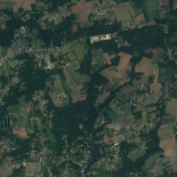
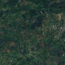
Satellite: Sentinel-2 cloudless 2016 by EOX IT Services GmbH · CC BY 4.0 · Contains modified Copernicus Sentinel data 2016
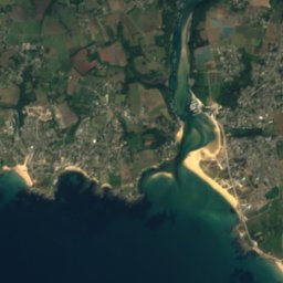
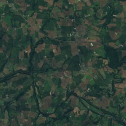
Basse Saint-ModéIsland12 kmSBasse Saint-Modé
Photo: Youenn BARBE · CC BY 2.5 · Wikimedia CommonsReport this photo · linked, not stored
LaïtaRiver12 kmSLaïta
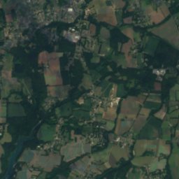
Satellite: Sentinel-2 cloudless 2016 by EOX IT Services GmbH · CC BY 4.0 · Contains modified Copernicus Sentinel data 2016
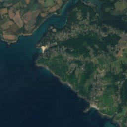
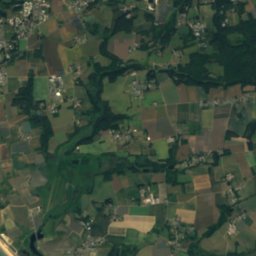
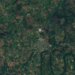
Basse la CroixIsland13 kmSWBasse la Croix
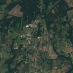
Satellite: Sentinel-2 cloudless 2016 by EOX IT Services GmbH · CC BY 4.0 · Contains modified Copernicus Sentinel data 2016

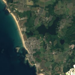
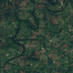
Basse Porsac’hIsland13 kmSBasse Porsac’h
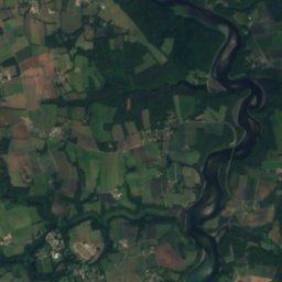
Satellite: Sentinel-2 cloudless 2016 by EOX IT Services GmbH · CC BY 4.0 · Contains modified Copernicus Sentinel data 2016

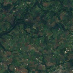
Basse an IlizIsland14 kmSBasse an Iliz
Stay nearby

Towns close by

Quimperlé
Photo: Lanzonnet · CC BY-SA 3.0 · Wikimedia CommonsReport this photo · linked, not stored

Quimperlé

Brittany · 0.4 km NW
17°Oct high
14wet days
56score
Quimperlé
Tréméven
Photo: El Funcionario · CC BY-SA 3.0 · Wikimedia CommonsReport this photo · linked, not stored

Tréméven

Brittany · 3.2 km N
17°Oct high
14wet days
55score
Tréméven
Mellac
Photo: Lanzonnet · CC BY-SA 3.0 · Wikimedia CommonsReport this photo · linked, not stored

Mellac

Brittany · 4.4 km NW
17°Oct high
14wet days
55score
Mellac
Baye
Photo: Lanzonnet · CC BY-SA 3.0 · Wikimedia CommonsReport this photo · linked, not stored

Baye

Brittany · 4.7 km W
17°Oct high
14wet days
55score
Baye
Around here

Quimperlé and around

Quimperlé
Photo: Lanzonnet · CC BY-SA 3.0 · Wikimedia CommonsReport this photo · linked, not stored

Quimperlé

Brittany · France
Jun · Aug–Sepbest months
23°July high
39 maltitude
Quimperlé

Nature

Ellé
Photo: Lanzonnet · CC BY-SA 3.0 · Wikimedia CommonsReport this photo · linked, not stored
0.4 km SE

Ellé

River · 11 m
Ellé
Scorff
Photo: Personnel · CC BY-SA 3.0 · Wikimedia CommonsReport this photo · linked, not stored
21 km SE

Scorff

River
Scorff
Aven
Photo: Pline · CC BY-SA 3.0 · Wikimedia CommonsReport this photo · linked, not stored
16 km SW

Aven

River
Aven

Mountains

Roc'h Toullaëron
Photo: Moreau.henri · CC BY-SA 4.0 · Wikimedia CommonsReport this photo · linked, not stored
34 km N

Roc'h Toullaëron

318 m · Montagnes Noires
Roc'h Toullaëron
Satellite: Sentinel-2 cloudless 2016 by EOX IT Services GmbH · CC BY 4.0 · Contains modified Copernicus Sentinel data 2016
36 km NW

Le Laz

301 m
Le Laz

Heritage

Gare de Quimperlé
Photo: Bruno Corpet (Quoique) · CC BY-SA 3.0 · Wikimedia CommonsReport this photo · linked, not stored
0.4 km SW

Gare de Quimperlé

listed in the general inventory of cultural heritage
Gare de Quimperlé
Église Notre-Dame-de-l'Assomption, Quimperlé
Photo: LPLT · CC BY-SA 3.0 · Wikimedia CommonsReport this photo · linked, not stored
0.2 km SE

Église Notre-Dame-de-l'Assomption, Quimperlé

classified historical monument
Église Notre-Dame-de-l'Assomption, Quimperlé
tombeau d'Henri de Lespervez, abbé à Quimperlé
Photo: GFreihalter · CC BY-SA 3.0 · Wikimedia CommonsReport this photo · linked, not stored
0.4 km E

tombeau d'Henri de Lespervez, abbé à Quimperlé

classified historical monument · 1400
tombeau d'Henri de Lespervez, abbé à Quimperlé

Museums

Satellite: Sentinel-2 cloudless 2016 by EOX IT Services GmbH · CC BY 4.0 · Contains modified Copernicus Sentinel data 2016
15 km W

Pont-Aven museum

Art museum · 1985
Pont-Aven museum
Satellite: Sentinel-2 cloudless 2016 by EOX IT Services GmbH · CC BY 4.0 · Contains modified Copernicus Sentinel data 2016
12 km S

Auberge de Marie Henry

Art museum · 1989
Auberge de Marie Henry