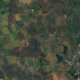
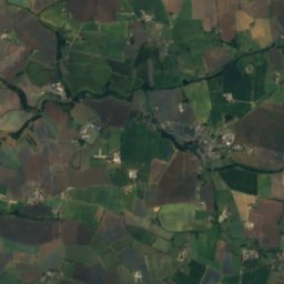
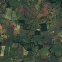
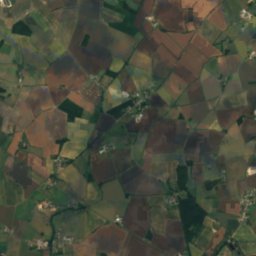
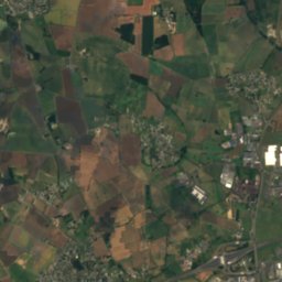
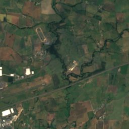
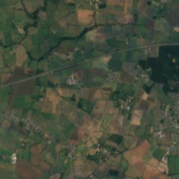
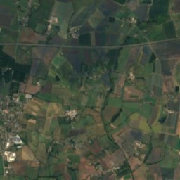
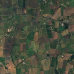
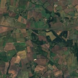
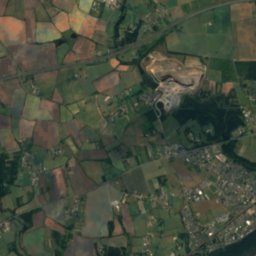
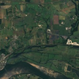
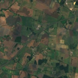
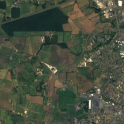
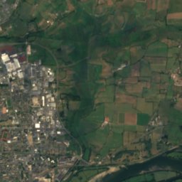
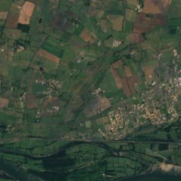
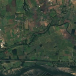
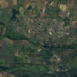
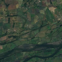
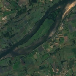
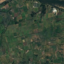
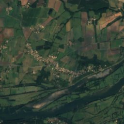
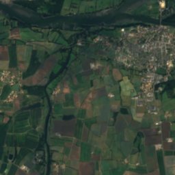
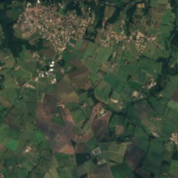
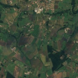
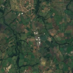
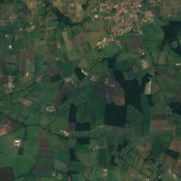
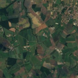
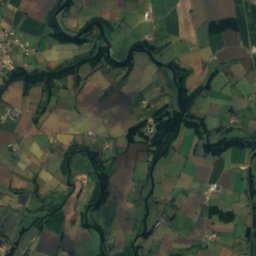
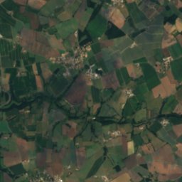
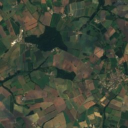
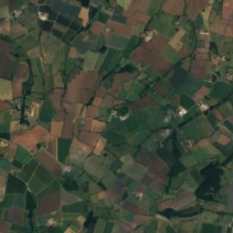
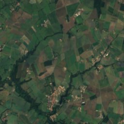
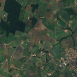
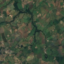
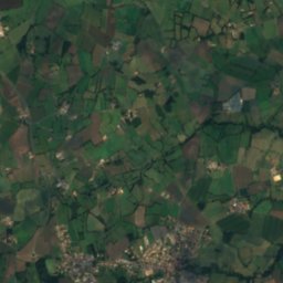
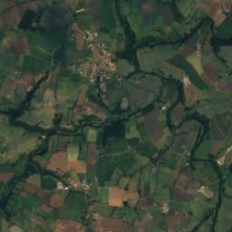
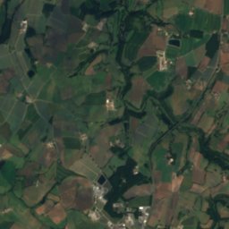
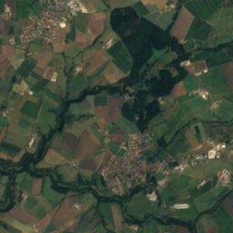
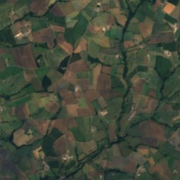
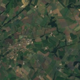
Satellite: Sentinel-2 cloudless 2016 by EOX IT Services GmbH · CC BY 4.0 · Contains modified Copernicus Sentinel data 2016
 Èvre
 île Meslet
IslandSaint-Florent-le-Vieil, Pays de la Loire
île Moquart
IslandBest Jul–Sep
Elevation–above sea level
Area0.5 km²surface
Nearest townSaint-Florent-le-Vieil1.7 km
47.37° N, 1.04° WUTC+2 · Central European Summer Time
When to goSaint-Florent-le-Vieil · weather score
Best timeJul–Sep
October: high / low18° / 9°
Island
île Moquart in brief
île Moquart is an island in Saint-Florent-le-Vieil, Pays de la Loire, France.
It covers about 0.5 km².
The nearest town in the atlas is Saint-Florent-le-Vieil, 1.7 km to the SE, where the weather is best in July, August and September.
Weather nearby now
Forecast for Saint-Florent-le-Vieil14°
Rain now
Today
22 Oct
16°
10°
4 mm
Fri
23 Oct
15°
10°
10 mm
Sat
24 Oct
15°
9°
3 mm
Sun
25 Oct
17°
9°
8 mm
Mon
26 Oct
18°
9°
2 mm
Model run 00:00 UTCRefreshed several times a day
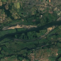
The island from above
0.5 km² · coastline as mapped in OpenStreetMapWhen to go
Climate of Saint-Florent-le-VieilThe best months around île Moquart
Month score in Saint-Florent-le-Vieil
Comfort, dry days and sunshine · out of 10019
Jan
28
Feb
43
Mar
66
Apr
67
May
72
Jun
73
Jul
73
Aug
80
Sep
64
Oct
34
Nov
20
Dec
Map
île Moquart from above
Nature nearbyAll of France

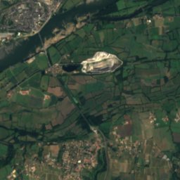
Satellite: Sentinel-2 cloudless 2016 by EOX IT Services GmbH · CC BY 4.0 · Contains modified Copernicus Sentinel data 2016
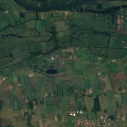
Satellite: Sentinel-2 cloudless 2016 by EOX IT Services GmbH · CC BY 4.0 · Contains modified Copernicus Sentinel data 2016
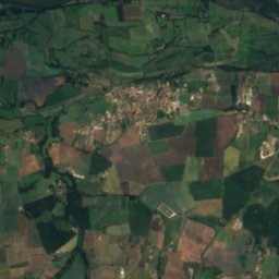
Satellite: Sentinel-2 cloudless 2016 by EOX IT Services GmbH · CC BY 4.0 · Contains modified Copernicus Sentinel data 2016
Satellite: Sentinel-2 cloudless 2016 by EOX IT Services GmbH · CC BY 4.0 · Contains modified Copernicus Sentinel data 2016

Stay nearby
Towns close by

Photo: Jean-Pierre Dalbéra from Paris, France · CC BY 2.0 · Wikimedia CommonsReport this photo · linked, not stored
Saint-Florent-le-Vieil
Pays de la Loire · 1.7 km SE
18°Oct high
12wet days
64score


La Chapelle-Saint-Florent
Pays de la Loire · 4.0 km S
18°Oct high
12wet days
63score

Around here
Saint-Florent-le-Vieil and around
Photo: Jean-Pierre Dalbéra from Paris, France · CC BY 2.0 · Wikimedia CommonsReport this photo · linked, not stored
Saint-Florent-le-Vieil
Pays de la Loire · France
Jul–Sepbest months
26°July high
23 maltitude
Nature


Mountains

Heritage
Satellite: Sentinel-2 cloudless 2016 by EOX IT Services GmbH · CC BY 4.0 · Contains modified Copernicus Sentinel data 2016
Tombeau du général Bonchamps
object classified as a historical monument · 1825


Museums


Satellite: Sentinel-2 cloudless 2016 by EOX IT Services GmbH · CC BY 4.0 · Contains modified Copernicus Sentinel data 2016