Skip to content
Destinations
Weather & climate
Nature
Outdoors
Culture
Events
Sky & live
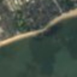
Île de Fédrun
Photo: Ibex73 · CC BY-SA 4.0 · Wikimedia Commons
Île de FédrunReport this photo · linked, not stored
Brivet
Photo: Ludovic Péron · CC BY-SA 3.0 · Wikimedia Commons
BrivetReport this photo · linked, not stored
Brivet
Étang de Sandun
Photo: Jibi44 · CC BY-SA 4.0 · Wikimedia Commons
Étang de SandunReport this photo · linked, not stored
Étang de Sandun
banc de Bilho
Photo: TouN · CC BY-SA 3.0 · Wikimedia Commons
banc de BilhoReport this photo · linked, not stored
banc de Bilho
IslandSaint-Joachim, Pays de la Loire

Île de Fédrun

IslandBest Jul–Sep
Elevation–above sea level
Area–surface
Nearest townSaint-Joachim1.1 km
47.37° N, 2.21° WUTC+2 · Central European Summer Time
When to goSaint-Joachim · weather score
JanFebMarAprMayJunJulAugSepOctNovDec62October
Best timeJul–Sep
October: high / low18° / 10°
Island

Île de Fédrun in brief

Île de Fédrun is an island in Saint-Joachim, Pays de la Loire, France.

The nearest town in the atlas is Saint-Joachim, 1.1 km to the NE, where the weather is best in July, August and September.

Saint-Joachim: weather and travel guide

Weather nearby now

Forecast for Saint-Joachim
15°
Rain now
Wind22 km/h
Humidity81%
Cloud cover100%
Today
22 Oct
16°
11°
12 mm
Fri
23 Oct
16°
10°
9 mm
Sat
24 Oct
17°
10°
2 mm
Sun
25 Oct
17°
9°
7 mm
Mon
26 Oct
18°
10°
6 mm

Model run 00:00 UTCRefreshed several times a day

When to go

The best months around Île de Fédrun

Climate of Saint-Joachim

Month score in Saint-Joachim

Comfort, dry days and sunshine · out of 100
18
Jan
29
Feb
42
Mar
62
Apr
70
May
76
Jun
77
Jul
79
Aug
82
Sep
62
Oct
36
Nov
21
Dec
Map

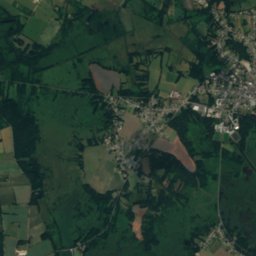
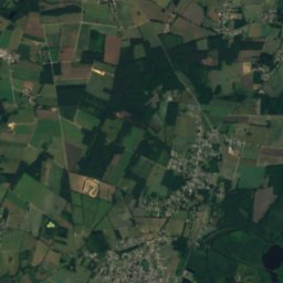
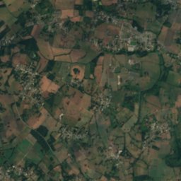
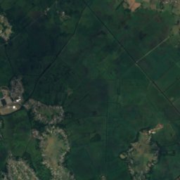
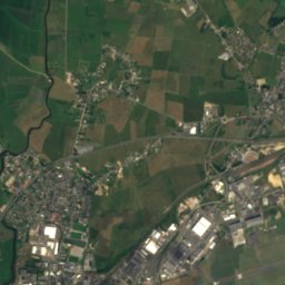
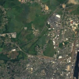
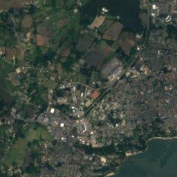
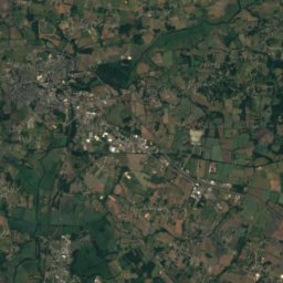
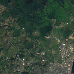
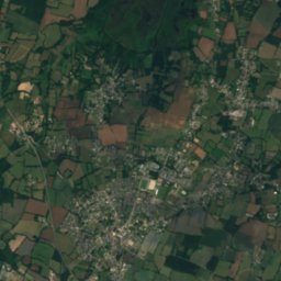
Île de Fédrun from above

Nature nearbyAll of France
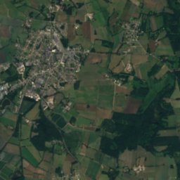
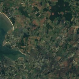
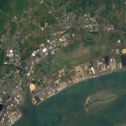
Satellite: Sentinel-2 cloudless 2016 by EOX IT Services GmbH · CC BY 4.0 · Contains modified Copernicus Sentinel data 2016
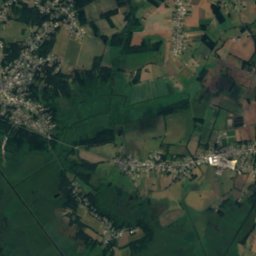
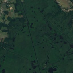
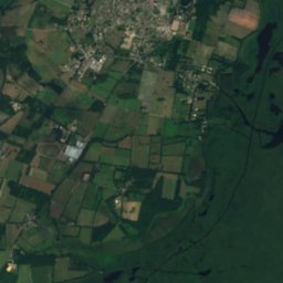
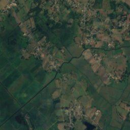
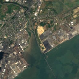
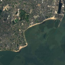
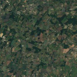
Île de PandilleIsland1.3 kmNEÎle de Pandille
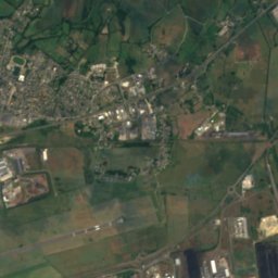
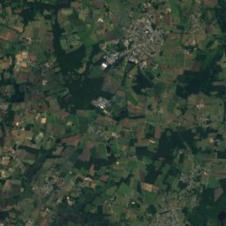
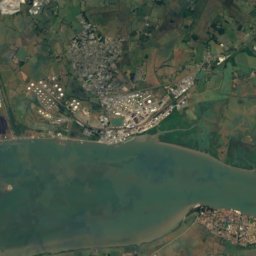
Satellite: Sentinel-2 cloudless 2016 by EOX IT Services GmbH · CC BY 4.0 · Contains modified Copernicus Sentinel data 2016
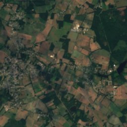
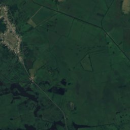
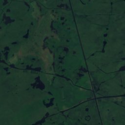
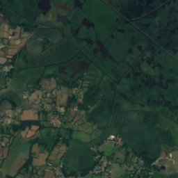
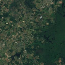
Île de MazinIsland2.4 kmNEÎle de Mazin
Photo: Ludovic Péron · CC BY-SA 3.0 · Wikimedia CommonsReport this photo · linked, not stored
BrivetRiver10 kmSBrivet
Photo: Jibi44 · CC BY-SA 4.0 · Wikimedia CommonsReport this photo · linked, not stored
Étang de SandunLake11 kmWÉtang de Sandun
Photo: TouN · CC BY-SA 3.0 · Wikimedia CommonsReport this photo · linked, not stored
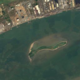
banc de BilhoIsland11 kmSEbanc de Bilho
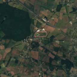
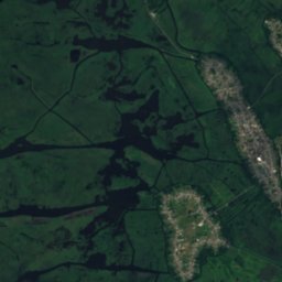
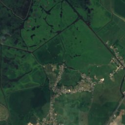
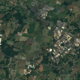
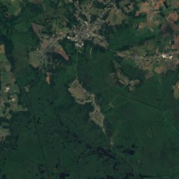
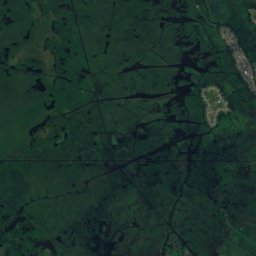
Satellite: Sentinel-2 cloudless 2016 by EOX IT Services GmbH · CC BY 4.0 · Contains modified Copernicus Sentinel data 2016
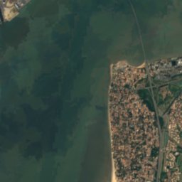
Basse NazaireIsland11 kmSBasse Nazaire
Stay nearby

Towns close by

Saint-Joachim
Photo: Sten · CC BY-SA 3.0 · Wikimedia CommonsReport this photo · linked, not stored

Saint-Joachim

Pays de la Loire · 1.1 km NE
18°Oct high
13wet days
62score
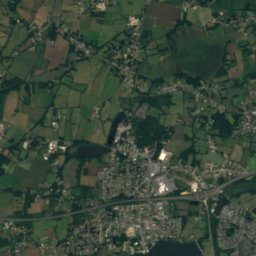
Saint-Joachim
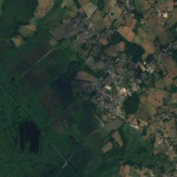
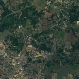
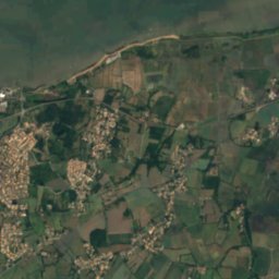
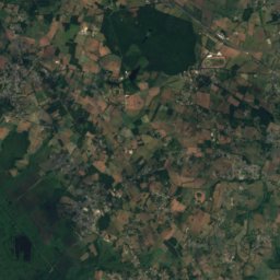
Satellite: Sentinel-2 cloudless 2016 by EOX IT Services GmbH · CC BY 4.0 · Contains modified Copernicus Sentinel data 2016

Saint-Malo-de-Guersac

Pays de la Loire · 3.5 km SE
18°Oct high
13wet days
62score
Saint-Malo-de-Guersac
Crossac
Photo: Poulpy · CC BY-SA 3.0 · Wikimedia CommonsReport this photo · linked, not stored

Crossac

Pays de la Loire · 5.3 km NE
18°Oct high
13wet days
62score
Crossac
Trignac
Photo: KaTeznik · CC BY-SA 2.0 fr · Wikimedia CommonsReport this photo · linked, not stored

Trignac

Pays de la Loire · 6.5 km S
18°Oct high
13wet days
62score
Trignac
Around here

Saint-Joachim and around

Saint-Joachim
Photo: Sten · CC BY-SA 3.0 · Wikimedia CommonsReport this photo · linked, not stored

Saint-Joachim

Pays de la Loire · France
Jul–Sepbest months
24°July high
6 maltitude
Saint-Joachim

Nature

Brivet
Photo: Ludovic Péron · CC BY-SA 3.0 · Wikimedia CommonsReport this photo · linked, not stored
11 km S

Brivet

River · 3 m
Brivet
Étang de Sandun
Photo: Jibi44 · CC BY-SA 4.0 · Wikimedia CommonsReport this photo · linked, not stored
12 km W

Étang de Sandun

Lake · 11 m
Étang de Sandun
Loire
Photo: LPLT · CC BY-SA 3.0 · Wikimedia CommonsReport this photo · linked, not stored
13 km S

Loire

River
Loire

Heritage

Domaine de la Bretesche
Photo: Juliofsanguino · CC BY-SA 4.0 · Wikimedia CommonsReport this photo · linked, not stored
11 km N

Domaine de la Bretesche

monument historique inscrit · 1400
Domaine de la Bretesche
Sandun dolmen
Photo: Poulpy · CC BY-SA 3.0 · Wikimedia CommonsReport this photo · linked, not stored
11 km W

Sandun dolmen

classified historical monument
Sandun dolmen
Église Sainte-Anne de Saint-Nazaire
Photo: © Raimond Spekking / CC BY-SA 4.0 (via Wikimedia Commons) · CC BY-SA 4.0 · Wikimedia CommonsReport this photo · linked, not stored
12 km S

Église Sainte-Anne de Saint-Nazaire

monument historique inscrit · 1955
Église Sainte-Anne de Saint-Nazaire

Museums

Satellite: Sentinel-2 cloudless 2016 by EOX IT Services GmbH · CC BY 4.0 · Contains modified Copernicus Sentinel data 2016
1.3 km SW

Musées du parc naturel régional de Brière

Musées du parc naturel régional de Brière
Espadon
Photo: Rama · CC BY-SA 2.0 fr · Wikimedia CommonsReport this photo · linked, not stored
12 km S

Espadon

Museum ship
Espadon
Satellite: Sentinel-2 cloudless 2016 by EOX IT Services GmbH · CC BY 4.0 · Contains modified Copernicus Sentinel data 2016
12 km S

Écomusée de Saint-Nazaire

Écomusée de Saint-Nazaire