Skip to content
Destinations
Weather & climate
Nature
Outdoors
Culture
Events
Sky & live
Gorbio
Photo: Philippe rogez · CC BY-SA 3.0 · Wikimedia Commons
GorbioReport this photo · linked, not stored
Borrigo
Photo: Philippe rogez · CC BY-SA 3.0 · Wikimedia Commons
BorrigoReport this photo · linked, not stored
Borrigo
Carei
Photo: Philippe rogez · CC BY-SA 3.0 · Wikimedia Commons
CareiReport this photo · linked, not stored
Carei
Plage des Sablettes
Photo: Tangopaso · Public domain · Wikimedia Commons
Plage des SablettesReport this photo · linked, not stored
Plage des Sablettes
Plage du Buse
Photo: Tangopaso · Public domain · Wikimedia Commons
Plage du BuseReport this photo · linked, not stored
Plage du Buse
RiverRoquebrune-Cap-Martin, Provence-Alpes-Côte d'Azur

Gorbio

RiverBest Jun · Sep–Oct
Elevation–above sea level
Length8.5 kmsource to mouth
Nearest townRoquebrune-Cap-Martin0.5 km
43.77° N, 7.49° EUTC+2 · Central European Summer Time
When to goRoquebrune-Cap-Martin · weather score
JanFebMarAprMayJunJulAugSepOctNovDec77October
Best timeJun · Sep–Oct
October: high / low21° / 15°
River

Gorbio in brief

Gorbio is a river in Roquebrune-Cap-Martin, Provence-Alpes-Côte d'Azur, France.

The nearest town in the atlas is Roquebrune-Cap-Martin, 0.5 km to the W, where the weather is best in June, September and October.

Gorbio is 8.5 km long.

Roquebrune-Cap-Martin: weather and travel guide

Weather nearby now

Forecast for Roquebrune-Cap-Martin
20°
Cloudy now
Wind9 km/h
Humidity52%
Cloud cover92%
Today
22 Oct
22°
13°
Fri
23 Oct
21°
13°
7 mm
Sat
24 Oct
21°
11°
Sun
25 Oct
21°
13°
Mon
26 Oct
22°
13°

Model run 00:00 UTCRefreshed several times a day

When to go

The best months around Gorbio

Climate of Roquebrune-Cap-Martin

Month score in Roquebrune-Cap-Martin

Comfort, dry days and sunshine · out of 100
Map

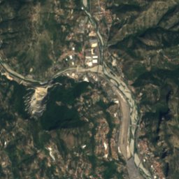
Gorbio from above

Nature nearbyAll of France
Photo: Philippe rogez · CC BY-SA 3.0 · Wikimedia CommonsReport this photo · linked, not stored
BorrigoRiver0.8 kmNEBorrigo
Photo: Philippe rogez · CC BY-SA 3.0 · Wikimedia CommonsReport this photo · linked, not stored
CareiRiver1.2 kmNECarei
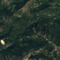
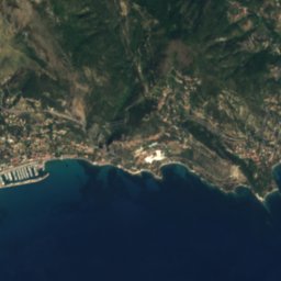
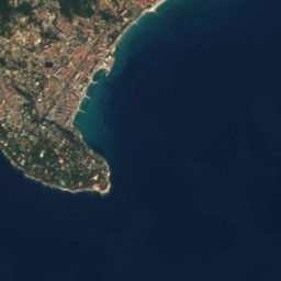
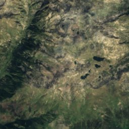
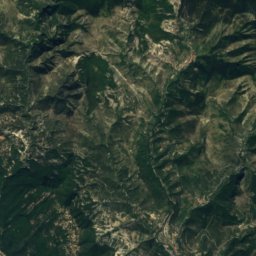
Satellite: Sentinel-2 cloudless 2016 by EOX IT Services GmbH · CC BY 4.0 · Contains modified Copernicus Sentinel data 2016
Plage de FossanBeach1.8 kmNEPlage de Fossan
Photo: Tangopaso · Public domain · Wikimedia CommonsReport this photo · linked, not stored
Plage des SablettesBeach2.2 kmNEPlage des Sablettes
Photo: Tangopaso · Public domain · Wikimedia CommonsReport this photo · linked, not stored
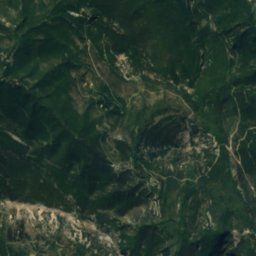
Plage du BuseBeach2.4 kmWPlage du Buse
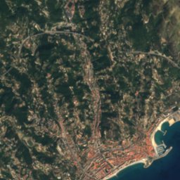
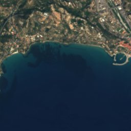
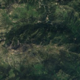
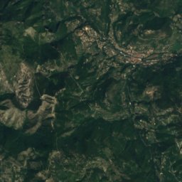
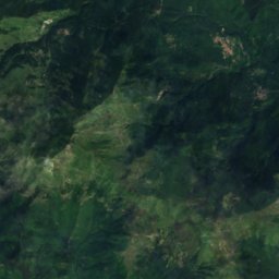
Satellite: Sentinel-2 cloudless 2016 by EOX IT Services GmbH · CC BY 4.0 · Contains modified Copernicus Sentinel data 2016
Hawaii beachBeach3.7 kmNEHawaii beach
Summits nearbyMountains of France
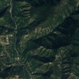
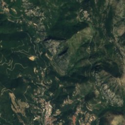
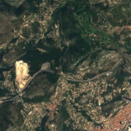
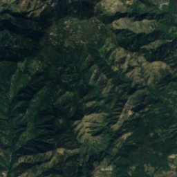
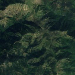
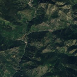
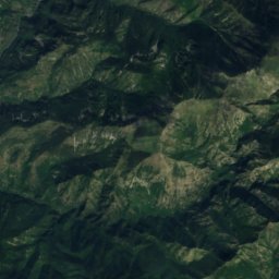
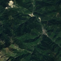
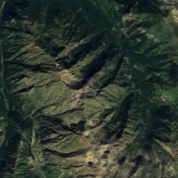
Satellite: Sentinel-2 cloudless 2016 by EOX IT Services GmbH · CC BY 4.0 · Contains modified Copernicus Sentinel data 2016
Cime de la Calmette24 km N1,786 mJuly 21°Cime de la Calmette
Photo: AttentatAlbertCamus · CC BY-SA 3.0 · Wikimedia CommonsReport this photo · linked, not stored
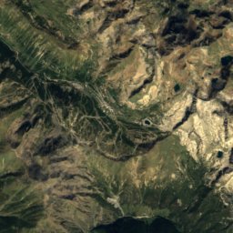
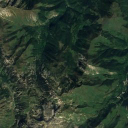
Cime de Peïra-Cava22 km NW1,581 mJuly 22°Cime de Peïra-Cava
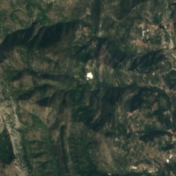
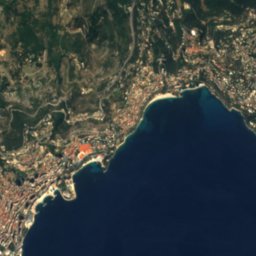
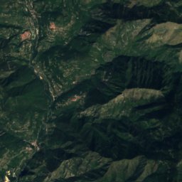
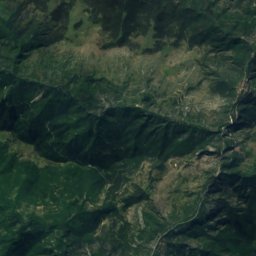
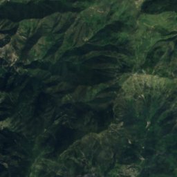
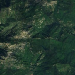
Satellite: Sentinel-2 cloudless 2016 by EOX IT Services GmbH · CC BY 4.0 · Contains modified Copernicus Sentinel data 2016
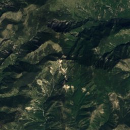
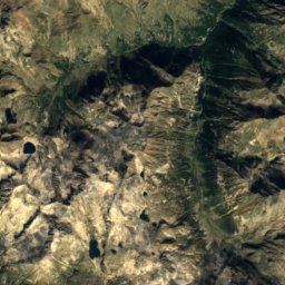
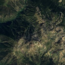
Mont Férion21 km NW1,412 mJuly 23°Mont Férion
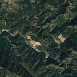
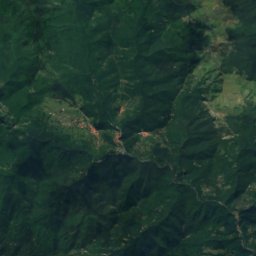
Satellite: Sentinel-2 cloudless 2016 by EOX IT Services GmbH · CC BY 4.0 · Contains modified Copernicus Sentinel data 2016
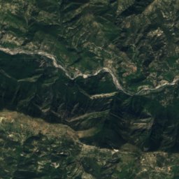
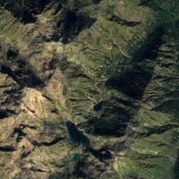
Mont Lega25 km NE1,402 mJuly 22°Mont Lega
Photo: Fontema · Public domain · Wikimedia CommonsReport this photo · linked, not stored
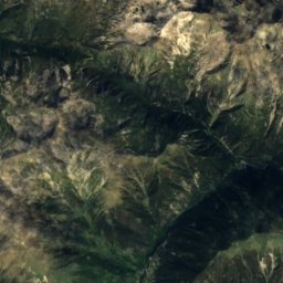
Monte Grammondo8.7 km N1,378 mJuly 22°Monte Grammondo
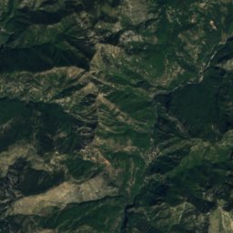
Satellite: Sentinel-2 cloudless 2016 by EOX IT Services GmbH · CC BY 4.0 · Contains modified Copernicus Sentinel data 2016
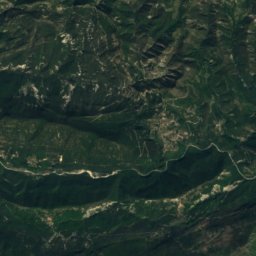
Cime de Rocaillon20 km NW1,369 mJuly 23°Cime de Rocaillon
Stay nearby

Towns close by

Roquebrune-Cap-Martin
Photo: Xilow · Public domain · Wikimedia CommonsReport this photo · linked, not stored

Roquebrune-Cap-Martin

Provence-Alpes-Côte d'Azur · 0.5 km W
21°Oct high
9wet days
77score
Roquebrune-Cap-Martin
Menton
Photo: Jpgross · Public domain · Wikimedia CommonsReport this photo · linked, not stored

Menton

Provence-Alpes-Côte d'Azur · 1.8 km NE
21°Oct high
9wet days
78score
Menton
Gorbio
Photo: MOSSOT · CC BY-SA 3.0 · Wikimedia CommonsReport this photo · linked, not stored

Gorbio

Provence-Alpes-Côte d'Azur · 4.3 km NW
19°Oct high
9wet days
76score
Gorbio
Castellar
Photo: Jpchevreau · CC BY-SA 3.0 · Wikimedia CommonsReport this photo · linked, not stored

Castellar

Provence-Alpes-Côte d'Azur · 4.4 km N
20°Oct high
9wet days
77score
Castellar
Around here

Roquebrune-Cap-Martin and around

Roquebrune-Cap-Martin
Photo: Xilow · Public domain · Wikimedia CommonsReport this photo · linked, not stored

Roquebrune-Cap-Martin

Provence-Alpes-Côte d'Azur · France
Jun · Sep–Octbest months
28°July high
19 maltitude
Roquebrune-Cap-Martin

Nature

Bévéra
Photo: Rundvald · Public domain · Wikimedia CommonsReport this photo · linked, not stored
10 km NE

Bévéra

River
Bévéra
Balzi Rossi
Photo: Lemone · CC BY-SA 4.0 · Wikimedia CommonsReport this photo · linked, not stored
4.8 km NE

Balzi Rossi

Cave
Balzi Rossi
Borrigo
Photo: Philippe rogez · CC BY-SA 3.0 · Wikimedia CommonsReport this photo · linked, not stored
1.2 km NE

Borrigo

River
Borrigo

Mountains

Monte Clapier
Photo: The original uploader was Iros at French Wikipedia. · CC BY-SA 2.5 · Wikimedia CommonsReport this photo · linked, not stored
39 km N

Monte Clapier

3,045 m
Monte Clapier
Satellite: Sentinel-2 cloudless 2016 by EOX IT Services GmbH · CC BY 4.0 · Contains modified Copernicus Sentinel data 2016
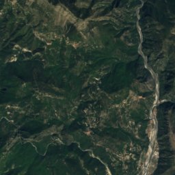
40 km N

Cima Pagarì

2,946 m
Cima Pagarì
Grand Capelet
Photo: Iros · CC BY-SA 3.0 · Wikimedia CommonsReport this photo · linked, not stored
35 km N

Grand Capelet

2,935 m
Grand Capelet

Heritage

Cabanon de vacances
Photo: Tangopaso · Public domain · Wikimedia CommonsReport this photo · linked, not stored
1.6 km W

Cabanon de vacances

Maisons des Illustres · 1952
Cabanon de vacances
Basilique Saint-Michel-Archange
Photo: Berthold Werner · CC BY-SA 3.0 · Wikimedia CommonsReport this photo · linked, not stored
2.5 km NE

Basilique Saint-Michel-Archange

classified historical monument · 1675
Basilique Saint-Michel-Archange
Villa E-1027
Photo: Tangopaso · Public domain · Wikimedia CommonsReport this photo · linked, not stored
1.6 km W

Villa E-1027

Patrimoine du XXᵉ siècle
Villa E-1027

Museums

Jean Cocteau Museum
Photo: Tangopaso · Public domain · Wikimedia CommonsReport this photo · linked, not stored
2.3 km NE

Jean Cocteau Museum

Art museum · 2011
Jean Cocteau Museum
Ouvrage Cap Martin
Photo: Tangopaso · Public domain · Wikimedia CommonsReport this photo · linked, not stored
0.9 km S

Ouvrage Cap Martin

Military museum
Ouvrage Cap Martin
Musée des Beaux-Arts de Menton
Photo: Tangopaso · Public domain · Wikimedia CommonsReport this photo · linked, not stored
0.6 km NE

Musée des Beaux-Arts de Menton

Sculpture garden
Musée des Beaux-Arts de Menton