Skip to content
Destinations
Weather & climate
Nature
Outdoors
Culture
Events
Sky & live
Fier
Photo: Zivax · CC BY-SA 3.0 · Wikimedia Commons
FierReport this photo · linked, not stored
Les Usses
Photo: Traumrune · CC BY-SA 3.0 · Wikimedia Commons
Les UssesReport this photo · linked, not stored
Les Usses
Arvière
Photo: Chabe01 · CC BY-SA 4.0 · Wikimedia Commons
ArvièreReport this photo · linked, not stored
Arvière
cascade du Pain de sucre
Photo: Chabe01 · CC BY-SA 4.0 · Wikimedia Commons
cascade du Pain de sucreReport this photo · linked, not stored
cascade du Pain de sucre
Cascade du Pain de sucre de Surjoux
Photo: Chabe01 · CC BY-SA 4.0 · Wikimedia Commons
Cascade du Pain de sucre de SurjouxReport this photo · linked, not stored
Cascade du Pain de sucre de Surjoux
RiverSeyssel, Auvergne-Rhône-Alpes

Fier

RiverBest Apr · Sep–Oct
Elevation–above sea level
Length72 kmsource to mouth
Nearest townSeyssel2.2 km
45.94° N, 5.83° EUTC+2 · Central European Summer Time
When to goSeyssel · weather score
JanFebMarAprMayJunJulAugSepOctNovDec65October
Best timeApr · Sep–Oct
October: high / low17° / 8°
River

Fier in brief

Fier is a river in Seyssel, Auvergne-Rhône-Alpes, France.

The nearest town in the atlas is Seyssel, 2.2 km to the N, where the weather is best in April, September and October.

Fier is 72 km long.

Seyssel: weather and travel guide

Weather nearby now

Forecast for Seyssel
14°
Cloudy now
Wind4 km/h
Humidity58%
Cloud cover83%
Today
22 Oct
14°
5°
Fri
23 Oct
13°
6°
10 mm
Sat
24 Oct
10°
5°
13 mm
Sun
25 Oct
13°
8°
16 mm
Mon
26 Oct
17°
7°

Model run 00:00 UTCRefreshed several times a day

The course of the river

As mapped in OpenStreetMap, with the towns of the atlas along its banks.
1234567891011121314
  1. 1Alex582 m
  2. 2Dingy-Saint-Clair607 m
  3. 3Villaz697 m
  4. 4Argonay548 m
  5. 5Annecy-le-Vieux498 m
  6. 6Annecy452 m
  7. 7Cran-Gevrier510 m
  8. 8Seynod542 m
  9. 9Poisy517 m
  10. 10Lovagny531 m
  11. 11Étercy491 m
  12. 12Vallières357 m
  13. 13Rumilly350 m
  14. 14Seyssel263 m
sourcemouth (or where the mapped line leaves the country)
When to go

The best months around Fier

Climate of Seyssel

Month score in Seyssel

Comfort, dry days and sunshine · out of 100
24
Jan
31
Feb
47
Mar
69
Apr
64
May
63
Jun
55
Jul
58
Aug
74
Sep
65
Oct
26
Nov
22
Dec
Map

Fier from above

Nature nearbyAll of France
Photo: Traumrune · CC BY-SA 3.0 · Wikimedia CommonsReport this photo · linked, not stored
Les UssesRiver3.6 kmNLes Usses
Photo: Chabe01 · CC BY-SA 4.0 · Wikimedia CommonsReport this photo · linked, not stored
ArvièreRiver9.1 kmWArvière
Photo: Chabe01 · CC BY-SA 4.0 · Wikimedia CommonsReport this photo · linked, not stored
cascade du Pain de sucreWaterfall9.1 kmWcascade du Pain de sucre
Photo: Chabe01 · CC BY-SA 4.0 · Wikimedia CommonsReport this photo · linked, not stored
Cascade du Pain de sucre de SurjouxWaterfall9.3 kmNCascade du Pain de sucre de Surjoux
Photo: Хрюша · CC BY-SA 3.0 · Wikimedia CommonsReport this photo · linked, not stored
Chéran, Auvergne-Rhône-AlpesRiver9.9 kmSEChéran, Auvergne-Rhône-Alpes
Photo: Antimuonium · CC BY-SA 4.0 · Wikimedia CommonsReport this photo · linked, not stored
DorchesRiver10 kmNWDorches
Summits nearbyMountains of France
Photo: Dr. Bernd Gross · CC BY-SA 3.0 · Wikimedia CommonsReport this photo · linked, not stored
Grand Crêt d'Eau24 km N1,621 mJuly 18°Grand Crêt d'Eau
Photo: Rolf Süssbrich · CC BY-SA 3.0 · Wikimedia CommonsReport this photo · linked, not stored
Grand Colombier7.0 km SW1,534 mJuly 19°Grand Colombier
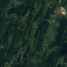
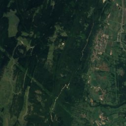
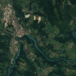
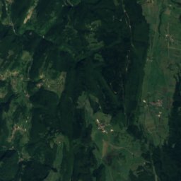
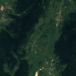
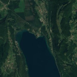
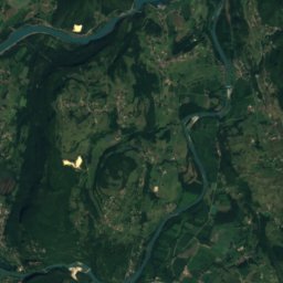
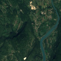
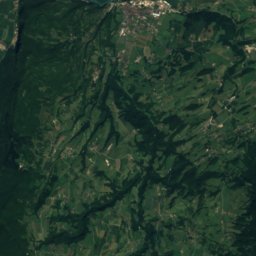
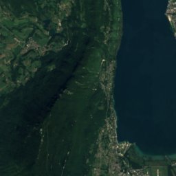
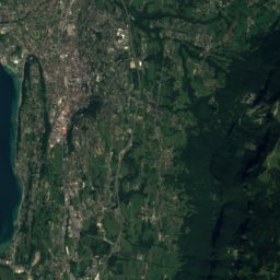
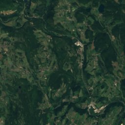
Satellite: Sentinel-2 cloudless 2016 by EOX IT Services GmbH · CC BY 4.0 · Contains modified Copernicus Sentinel data 2016
Crêt du Nû15 km NW1,351 mJuly 20°Crêt du Nû
Photo: Babsy · CC BY-SA 3.0 · Wikimedia CommonsReport this photo · linked, not stored
Mollard de Don24 km SW1,217 mJuly 22°Mollard de Don
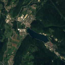
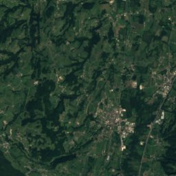
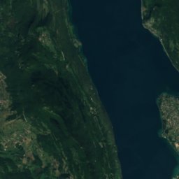
Satellite: Sentinel-2 cloudless 2016 by EOX IT Services GmbH · CC BY 4.0 · Contains modified Copernicus Sentinel data 2016
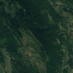
Mont de la Charvaz24 km S1,158 mJuly 24°Mont de la Charvaz
Photo: Björn S... · CC BY-SA 2.0 · Wikimedia CommonsReport this photo · linked, not stored
Vuache16 km NE1,112 mJuly 24°Vuache
Stay nearby

Towns close by

Seyssel
Photo: Florian Pépellin · CC BY-SA 3.0 · Wikimedia CommonsReport this photo · linked, not stored

Seyssel

Auvergne-Rhône-Alpes · 2.2 km N
17°Oct high
12wet days
65score
Seyssel
Motz
Photo: Chabe01 · CC BY-SA 4.0 · Wikimedia CommonsReport this photo · linked, not stored

Motz

Auvergne-Rhône-Alpes · 2.6 km SE
17°Oct high
12wet days
60score
Motz
Corbonod
Photo: Chabe01 · CC BY-SA 4.0 · Wikimedia CommonsReport this photo · linked, not stored

Corbonod

Auvergne-Rhône-Alpes · 3.1 km N
17°Oct high
12wet days
63score
Corbonod
Anglefort
Photo: Chabe01 · CC BY-SA 4.0 · Wikimedia CommonsReport this photo · linked, not stored

Anglefort

Auvergne-Rhône-Alpes · 3.6 km SW
17°Oct high
12wet days
64score
Anglefort
Around here

Seyssel and around

Seyssel
Photo: Florian Pépellin · CC BY-SA 3.0 · Wikimedia CommonsReport this photo · linked, not stored

Seyssel

Auvergne-Rhône-Alpes · France
Apr · Sep–Octbest months
28°July high
263 maltitude
Seyssel

Nature

Chéran, Auvergne-Rhône-Alpes
Photo: Хрюша · CC BY-SA 3.0 · Wikimedia CommonsReport this photo · linked, not stored
11 km SE

Chéran, Auvergne-Rhône-Alpes

River · 329 m
Chéran, Auvergne-Rhône-Alpes
Les Usses
Photo: Traumrune · CC BY-SA 3.0 · Wikimedia CommonsReport this photo · linked, not stored
1.5 km N

Les Usses

River
Les Usses
Dorches
Photo: Antimuonium · CC BY-SA 4.0 · Wikimedia CommonsReport this photo · linked, not stored
8.9 km NW

Dorches

River · 265 m
Dorches

Mountains

Le Fauteuil
Photo: Martial GAILLARD-GRENADIER · CC BY-SA 3.0 · Wikimedia CommonsReport this photo · linked, not stored
38 km SE

Le Fauteuil

2,350 m · Bornes Massif
Le Fauteuil
La Tournette
Photo: Guilhem Vellut from Annecy, France · CC BY 2.0 · Wikimedia CommonsReport this photo · linked, not stored
38 km SE

La Tournette

2,350 m · Bornes Massif
La Tournette
Pointe de la Beccaz
Photo: Rémih · CC BY-SA 4.0 · Wikimedia CommonsReport this photo · linked, not stored
39 km SE

Pointe de la Beccaz

2,038 m · Bornes Massif
Pointe de la Beccaz

Heritage

Génissiat Dam
Photo: Хрюша · CC BY-SA 3.0 · Wikimedia CommonsReport this photo · linked, not stored
11 km N

Génissiat Dam

Remarkable Contemporary Architecture · 1937
Génissiat Dam
Église Saint-Étienne de Clermont
Photo: B. Brassoud · CC BY-SA 4.0 · Wikimedia CommonsReport this photo · linked, not stored
5.8 km E

Église Saint-Étienne de Clermont

classified historical monument · 1860
Église Saint-Étienne de Clermont
Église Sainte-Agathe de Rumilly
Photo: Richardd · CC BY-SA 3.0 · Wikimedia CommonsReport this photo · linked, not stored
13 km SE

Église Sainte-Agathe de Rumilly

monument historique inscrit
Église Sainte-Agathe de Rumilly

Museums

Former town hall of Seyssel
Photo: Chabe01 · CC BY-SA 4.0 · Wikimedia CommonsReport this photo · linked, not stored
0.5 km W

Former town hall of Seyssel

Former town hall of Seyssel
Musée du Bugey-Valromey
Photo: Pierre Tribhou · CC0 · Wikimedia CommonsReport this photo · linked, not stored
9.0 km W

Musée du Bugey-Valromey

Musée du Bugey-Valromey
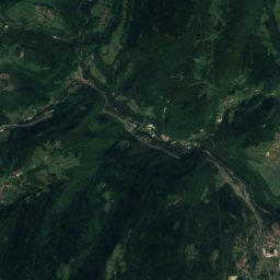
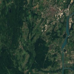
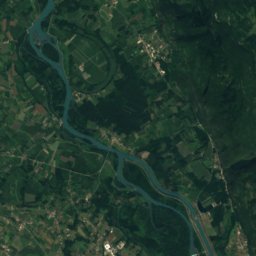
Satellite: Sentinel-2 cloudless 2016 by EOX IT Services GmbH · CC BY 4.0 · Contains modified Copernicus Sentinel data 2016
14 km SE

Musée de Rumilly

Musée de Rumilly