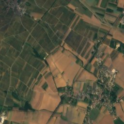
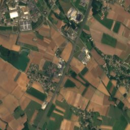
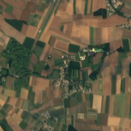
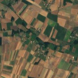
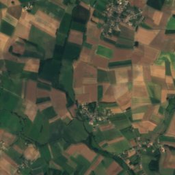
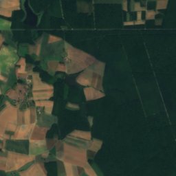
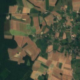
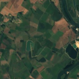
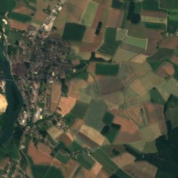
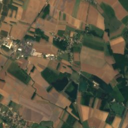
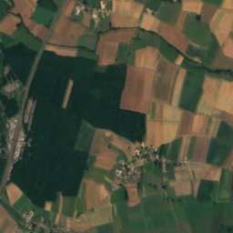
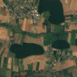
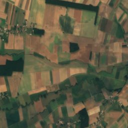
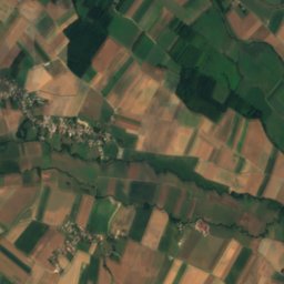
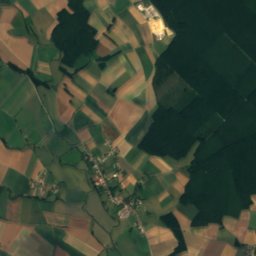
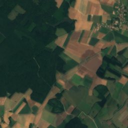
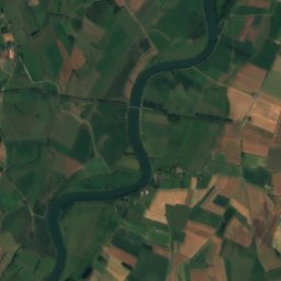
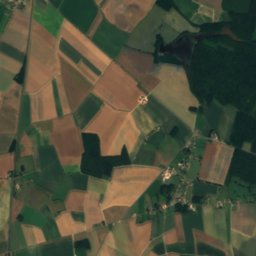
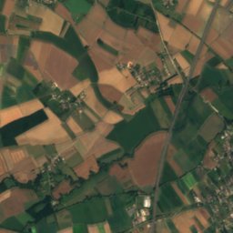
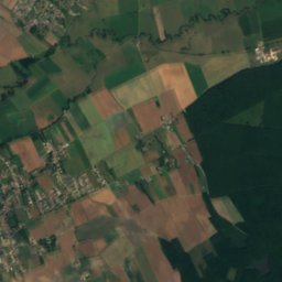
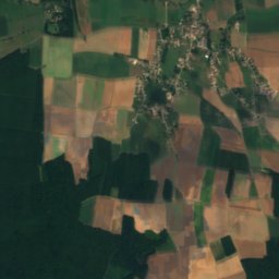
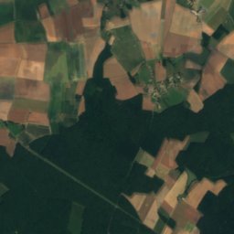
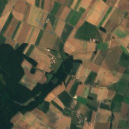
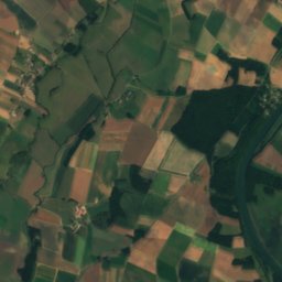
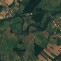
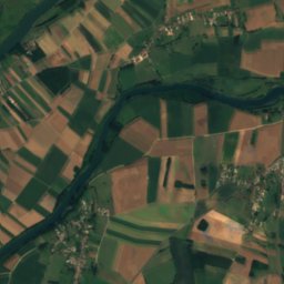
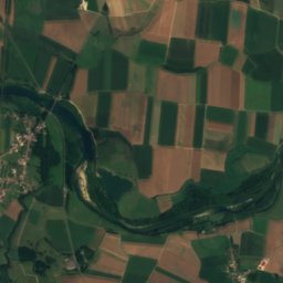
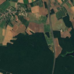
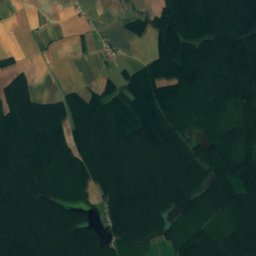
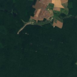
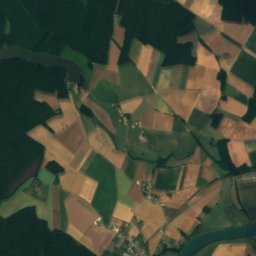
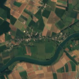
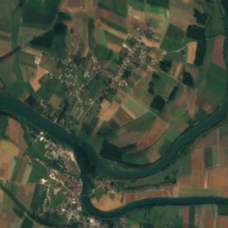
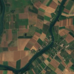
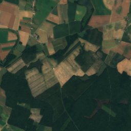
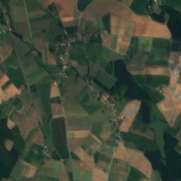
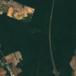
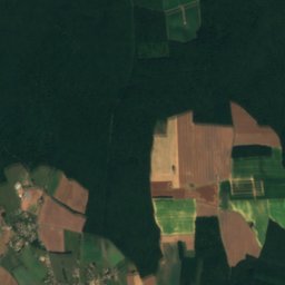
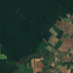
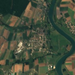
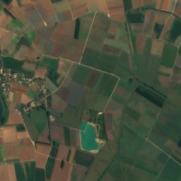
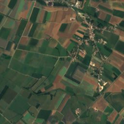
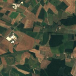
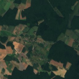
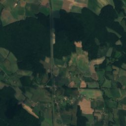
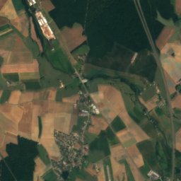
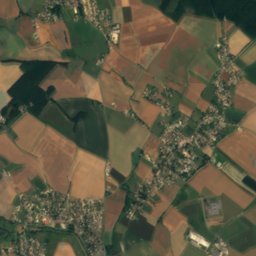
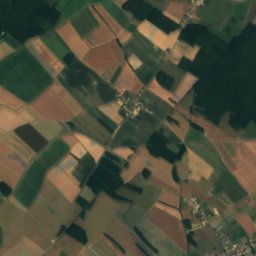
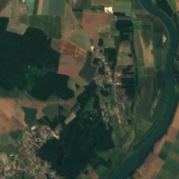
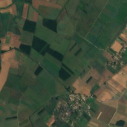
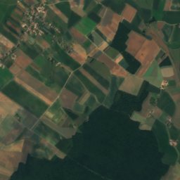
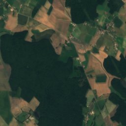
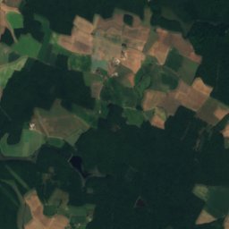
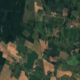
Satellite: Sentinel-2 cloudless 2016 by EOX IT Services GmbH · CC BY 4.0 · Contains modified Copernicus Sentinel data 2016

Photo: I, PRA · CC BY 2.5 · Wikimedia Commons
Île du Château, Bourgogne-Franche-ComtéReport this photo · linked, not stored
Île du Château, Bourgogne-Franche-ComtéÎle du Château, Bourgogne-Franche-ComtéReport this photo · linked, not stored
 Dheune
 Meuzin
 Guyotte
RiverVerdun-sur-le-Doubs, Bourgogne-Franche-Comté
Doubs
RiverBest Apr · Jun · Sep
Elevation–above sea level
Length453 kmsource to mouth
Nearest townVerdun-sur-le-Doubs0.6 km
46.90° N, 5.02° EUTC+2 · Central European Summer Time
When to goVerdun-sur-le-Doubs · weather score
Best timeApr · Jun · Sep
October: high / low17° / 8°
River
Doubs in brief
Doubs is a river in Verdun-sur-le-Doubs, Bourgogne-Franche-Comté, France.
The nearest town in the atlas is Verdun-sur-le-Doubs, 0.6 km to the S, where the weather is best in April, June and September.
Doubs is 453 km long.
Weather nearby now
Forecast for Verdun-sur-le-Doubs14°
Cloudy now
Today
22 Oct
15°
5°
Fri
23 Oct
16°
8°
2 mm
Sat
24 Oct
13°
5°
6 mm
Sun
25 Oct
15°
6°
12 mm
Mon
26 Oct
15°
5°
Model run 00:00 UTCRefreshed several times a day
The course of the river
As mapped in OpenStreetMap, with the towns of the atlas along its banks.- 1Baume-les-Dames283 m
- 2Roche-lez-Beaupré264 m
- 3Chalezeule256 m
- 4Montfaucon522 m
- 5Besançon300 m
- 6Beure251 m
- 7Avanne-Aveney234 m
- 8Montferrand-le-Château254 m
- 9Grandfontaine250 m
- 10Saint-Vit248 m
- 11Dole227 m
- 12Foucherans209 m
- 13Tavaux192 m
- 14Verdun-sur-le-Doubs176 m
sourcemouth (or where the mapped line leaves the country)
When to go
Climate of Verdun-sur-le-DoubsThe best months around Doubs
Month score in Verdun-sur-le-Doubs
Comfort, dry days and sunshine · out of 10018
Jan
25
Feb
40
Mar
65
Apr
63
May
66
Jun
59
Jul
61
Aug
73
Sep
58
Oct
21
Nov
17
Dec
Map
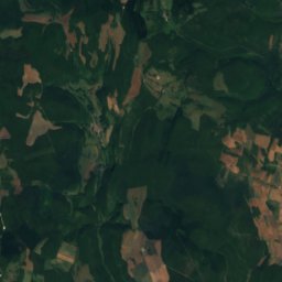
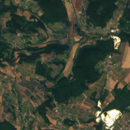
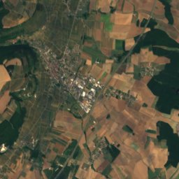
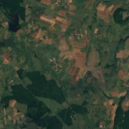
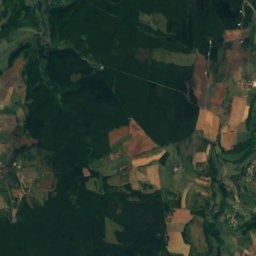
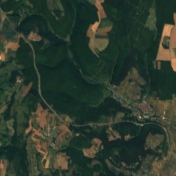
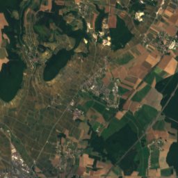
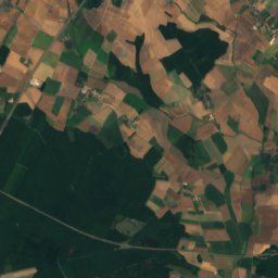
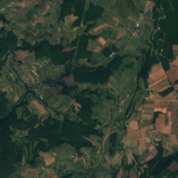
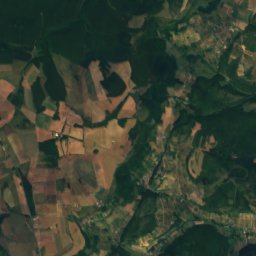
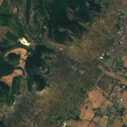
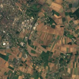
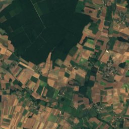
Doubs from above
Nature nearbyAll of France


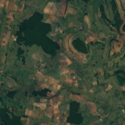
Satellite: Sentinel-2 cloudless 2016 by EOX IT Services GmbH · CC BY 4.0 · Contains modified Copernicus Sentinel data 2016
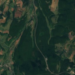
Satellite: Sentinel-2 cloudless 2016 by EOX IT Services GmbH · CC BY 4.0 · Contains modified Copernicus Sentinel data 2016

Summits nearbyMountains of France
Stay nearby
Towns close by

Verdun-sur-le-Doubs
Bourgogne-Franche-Comté · 0.6 km S
17°Oct high
13wet days
58score


Photo: Bertrand GRONDIN → (Talk) · CC BY-SA 3.0 · Wikimedia CommonsReport this photo · linked, not stored
Allerey-sur-Saône
Bourgogne-Franche-Comté · 3.1 km W
17°Oct high
12wet days
60score
Around here
Verdun-sur-le-Doubs and around
Verdun-sur-le-Doubs
Bourgogne-Franche-Comté · France
Apr · Jun · Sepbest months
27°July high
176 maltitude
Mountains

Heritage
Photo: Bertrand GRONDIN → (Talk) · CC BY-SA 3.0 · Wikimedia CommonsReport this photo · linked, not stored
Église de la Nativité de la Vierge d'Allerey-sur-Saône
classified historical monument

Église Notre-Dame-de-l'Assomption de Ciel
monument historique inscrit

Museums





Satellite: Sentinel-2 cloudless 2016 by EOX IT Services GmbH · CC BY 4.0 · Contains modified Copernicus Sentinel data 2016