
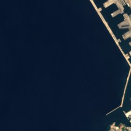
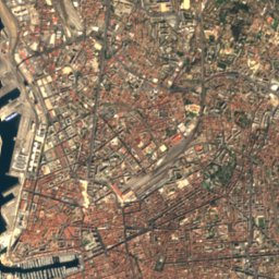
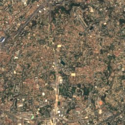
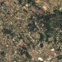
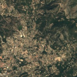
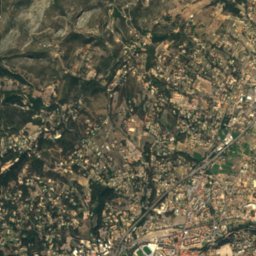
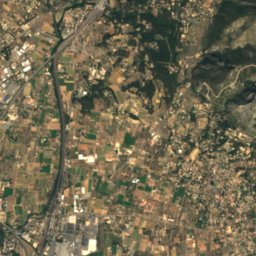
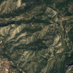
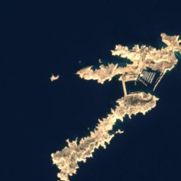
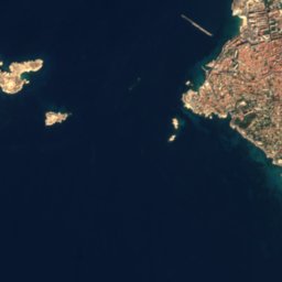
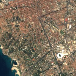
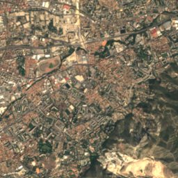
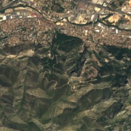
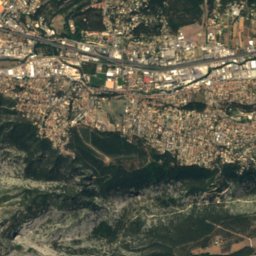
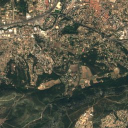
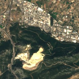
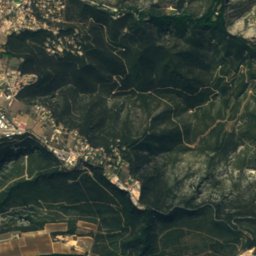
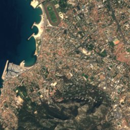
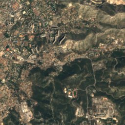
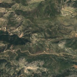
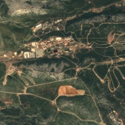
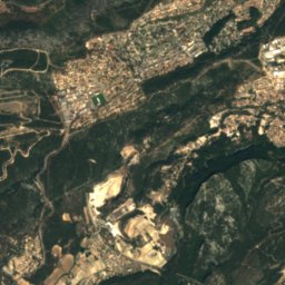
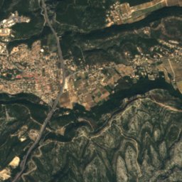
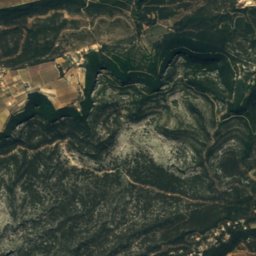

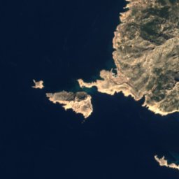
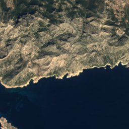
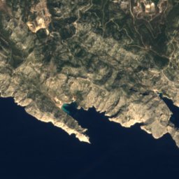
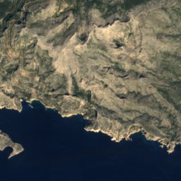
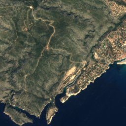
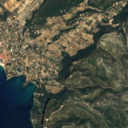
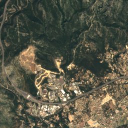
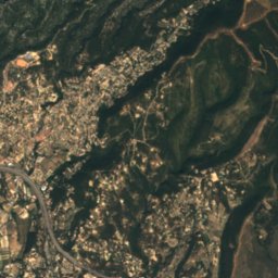


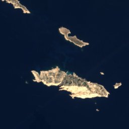



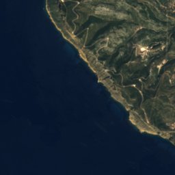
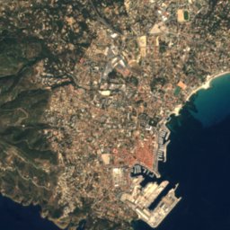
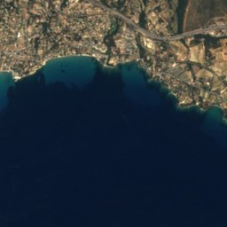







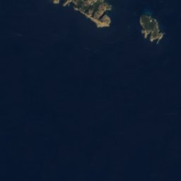

Satellite: Sentinel-2 cloudless 2016 by EOX IT Services GmbH · CC BY 4.0 · Contains modified Copernicus Sentinel data 2016

Photo: Georges Seguin (Okki) · CC BY-SA 3.0 · Wikimedia Commons
Calanque de l'OuleReport this photo · linked, not stored
Calanque de l'OuleCalanque de l'OuleReport this photo · linked, not stored

Photo: Pmau · CC BY-SA 4.0 · Wikimedia Commons
Calanque de l'Œil de VerreReport this photo · linked, not stored
Calanque de l'Œil de VerreCalanque de l'Œil de VerreReport this photo · linked, not stored
 En-Vau
 Port-Pin
BeachCassis, Provence-Alpes-Côte d'Azur
Devenson
BeachBest May–Jun · Sep
Elevation–above sea level
Sea, warmest23°CAugust
Nearest townCassis4.7 km
43.21° N, 5.48° EUTC+2 · Central European Summer Time
When to goCassis · weather score
Best timeMay–Jun · Sep
October: high / low21° / 13°
Beach
Devenson in brief
Devenson is a beach in Cassis, Provence-Alpes-Côte d'Azur, France.
The nearest town in the atlas is Cassis, 4.7 km to the E, where the weather is best in May, June and September.
The sea is warmest in August, at about 23°C.
Weather nearby now
Forecast for Cassis16°
Cloudy now
Today
22 Oct
19°
10°
Fri
23 Oct
21°
12°
4 mm
Sat
24 Oct
18°
10°
Sun
25 Oct
20°
11°
Mon
26 Oct
22°
13°
Model run 00:00 UTCRefreshed several times a day
Sea and air through the year
Sea surface temperature off the coast and the average daily high in Cassis, month by month.Jan14°13°
Feb13°14°
Mar13°16°
Apr14°18°
May17°22°
Jun20°26°
Jul22°29°
Aug23°29°
Sep21°25°
Oct19°21°
Nov17°16°
Dec15°13°
seaair, daily high
Map
Devenson from above
Nature nearbyAll of France

Photo: Georges Seguin (Okki) · CC BY-SA 3.0 · Wikimedia CommonsReport this photo · linked, not stored


Summits nearbyMountains of France


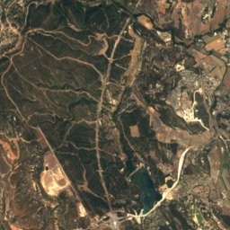
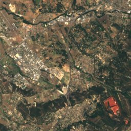
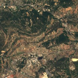
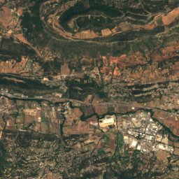
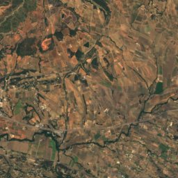
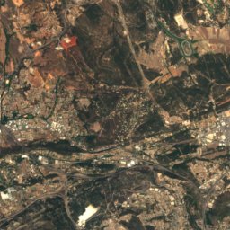
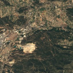
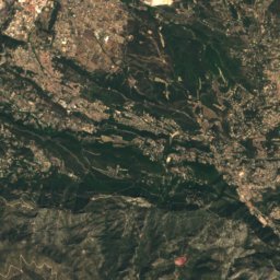
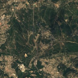
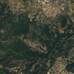
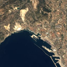
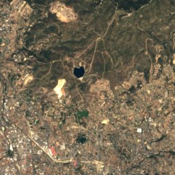
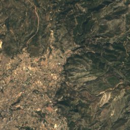
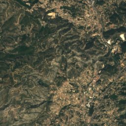
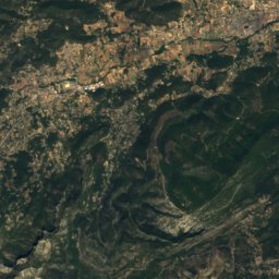
Satellite: Sentinel-2 cloudless 2016 by EOX IT Services GmbH · CC BY 4.0 · Contains modified Copernicus Sentinel data 2016

Photo: Guillaume de clermont 60 · CC BY-SA 3.0 · Wikimedia CommonsReport this photo · linked, not stored
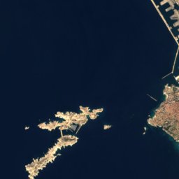
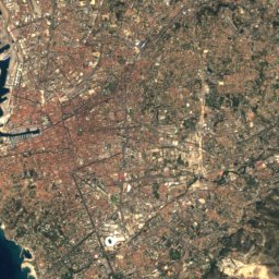
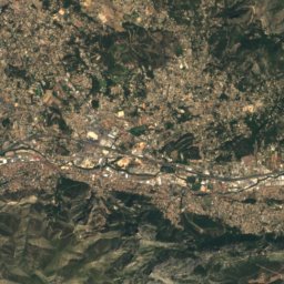
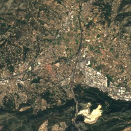
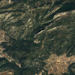
Satellite: Sentinel-2 cloudless 2016 by EOX IT Services GmbH · CC BY 4.0 · Contains modified Copernicus Sentinel data 2016

Stay nearby
Towns close by

Photo: Jean-Christophe BENOIST · CC BY 3.0 · Wikimedia CommonsReport this photo · linked, not stored
Cassis
Provence-Alpes-Côte d'Azur · 4.7 km E
21°Oct high
8wet days
81score

Carnoux-en-Provence
Provence-Alpes-Côte d'Azur · 8.7 km NE
20°Oct high
8wet days
81score

La Penne-sur-Huveaune
Provence-Alpes-Côte d'Azur · 9.0 km N
21°Oct high
8wet days
81score
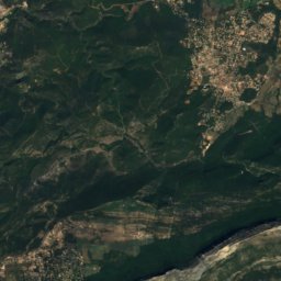
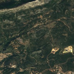
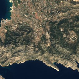
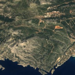
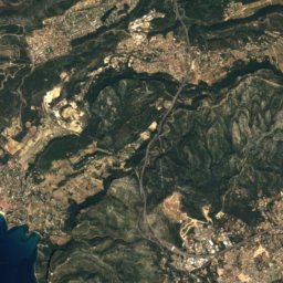
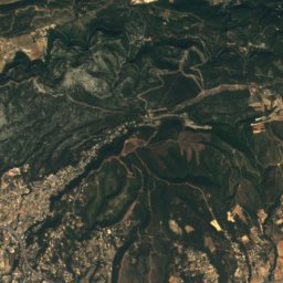
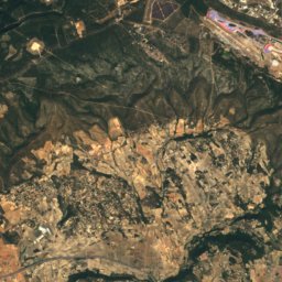
Satellite: Sentinel-2 cloudless 2016 by EOX IT Services GmbH · CC BY 4.0 · Contains modified Copernicus Sentinel data 2016
Roquefort-la-Bédoule
Provence-Alpes-Côte d'Azur · 10 km NE
20°Oct high
8wet days
81score
Around here
Cassis and around
Photo: Jean-Christophe BENOIST · CC BY 3.0 · Wikimedia CommonsReport this photo · linked, not stored
Cassis
Provence-Alpes-Côte d'Azur · France
May–Jun · Sepbest months
29°July high
17 maltitude
Nature

Photo: Georges Seguin (Okki) · CC BY-SA 3.0 · Wikimedia CommonsReport this photo · linked, not stored
Cosquer Cave
Cave

Mountains
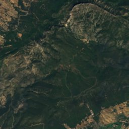
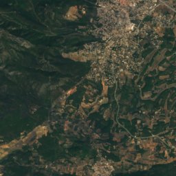
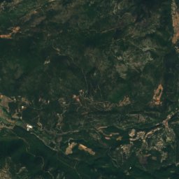
Satellite: Sentinel-2 cloudless 2016 by EOX IT Services GmbH · CC BY 4.0 · Contains modified Copernicus Sentinel data 2016
Signal des Béguines
1,148 m · Sainte-Baume

Satellite: Sentinel-2 cloudless 2016 by EOX IT Services GmbH · CC BY 4.0 · Contains modified Copernicus Sentinel data 2016
Bau de Saint-Cassien
1,051 m · Sainte-Baume
Heritage

Basilique du Sacré-Cœur de Marseille
monument historique inscrit · 1947


Satellite: Sentinel-2 cloudless 2016 by EOX IT Services GmbH · CC BY 4.0 · Contains modified Copernicus Sentinel data 2016
Cosquer Cave
classified historical monument
Museums
Satellite: Sentinel-2 cloudless 2016 by EOX IT Services GmbH · CC BY 4.0 · Contains modified Copernicus Sentinel data 2016


