Skip to content
Destinations
Weather & climate
Nature
Outdoors
Culture
Events
Sky & live
Dathée
Photo: Ikmo-ned · CC BY-SA 3.0 · Wikimedia Commons
DathéeReport this photo · linked, not stored
Virène
Photo: Ikmo-ned · CC BY-SA 4.0 · Wikimedia Commons
VirèneReport this photo · linked, not stored
Virène
Allière
Photo: Ikmo-ned · CC BY-SA 4.0 · Wikimedia Commons
AllièreReport this photo · linked, not stored
Allière
Brévogne
Photo: Ikmo-ned · CC BY-SA 3.0 · Wikimedia Commons
BrévogneReport this photo · linked, not stored
Brévogne
Souleuvre
Photo: Vincent · Public domain · Wikimedia Commons
SouleuvreReport this photo · linked, not stored
Souleuvre
RiverVire, Normandy

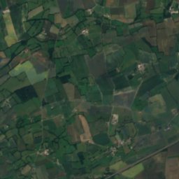
Dathée

RiverBest Jun–Jul · Sep
Elevation–above sea level
Length15 kmsource to mouth
Nearest townVire2.7 km
48.82° N, 0.92° WUTC+1 · Central European Standard Time
When to goVire · weather score
JanFebMarAprMayJunJulAugSepOctNovDec47October
Best timeJun–Jul · Sep
October: high / low16° / 8°
River

Dathée in brief

Dathée is a river in Vire, Normandy, France.

The nearest town is Vire, 2.7 km to the NE, where the weather is best in June, July and September.

Dathée is 15 km long.

Vire: weather and travel guide

Weather nearby now

Forecast for Vire
12°
Partly cloudy now
Wind29 km/h
Humidity67%
Cloud cover22%
Today
25 Oct
15°
10°
13 mm
Mon
26 Oct
17°
7°
3 mm
Tue
27 Oct
15°
9°
3 mm
Wed
28 Oct
14°
6°
Thu
29 Oct
14°
6°

Model run 00:00 UTCRefreshed several times a day

The course of the river

As mapped in OpenStreetMap, with the towns along its banks.
sourcemouth (or where the mapped line leaves the country)
When to go

The best months around Dathée

Climate of Vire

Month score in Vire

Comfort, dry days and sunshine · out of 100
15
Jan
19
Feb
28
Mar
50
Apr
65
May
70
Jun
71
Jul
69
Aug
72
Sep
47
Oct
22
Nov
15
Dec
Map

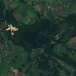
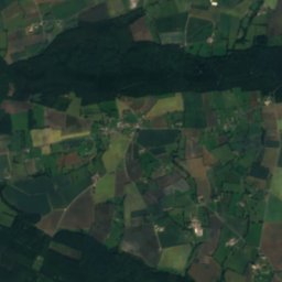
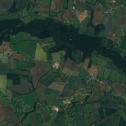
Dathée from above

Nature nearbyAll of France
Photo: Ikmo-ned · CC BY-SA 4.0 · Wikimedia CommonsReport this photo · linked, not stored
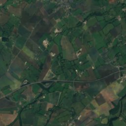
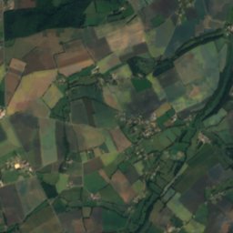
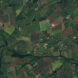
VirèneRiver1.9 kmNEVirène
Photo: Ikmo-ned · CC BY-SA 4.0 · Wikimedia CommonsReport this photo · linked, not stored
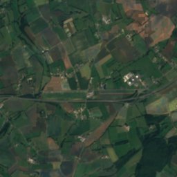
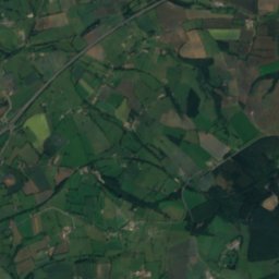
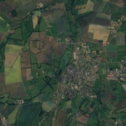
AllièreRiver5.0 kmNEAllière
Photo: Ikmo-ned · CC BY-SA 3.0 · Wikimedia CommonsReport this photo · linked, not stored
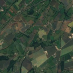
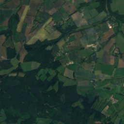
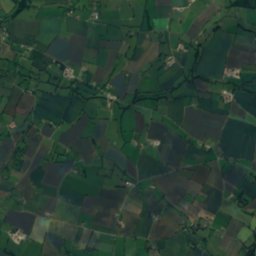
BrévogneRiver6.8 kmNBrévogne
Photo: Vincent · Public domain · Wikimedia CommonsReport this photo · linked, not stored
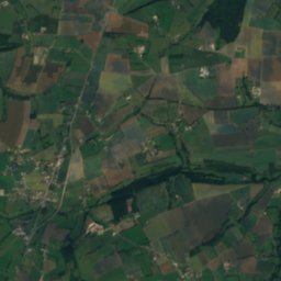
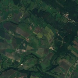
SouleuvreRiver14 kmNSouleuvre
Photo: Ikmo-ned · CC BY-SA 3.0 · Wikimedia CommonsReport this photo · linked, not stored
DianeRiver19 kmEDiane
Satellite: Sentinel-2 cloudless 2016 by EOX IT Services GmbH · CC BY 4.0 · Contains modified Copernicus Sentinel data 2016
ChaîneRiver24 kmNEChaîne
Stay nearby

Towns close by

Vire
Photo: Pinpin · CC BY 2.5 · Wikimedia CommonsReport this photo · linked, not stored

Vire

Normandy · 2.7 km NE
16°Oct high
15wet days
47score
Vire
Saint-Germain-de-Tallevende-la-Lande-Vaumont
Photo: Ikmo-ned · CC BY-SA 3.0 · Wikimedia CommonsReport this photo · linked, not stored

Saint-Germain-de-Tallevende-la-Lande-Vaumont

Normandy · 2.9 km SE
16°Oct high
15wet days
48score
Saint-Germain-de-Tallevende-la-Lande-Vaumont
Vaudry
Photo: Ikmo-ned · CC BY-SA 3.0 · Wikimedia CommonsReport this photo · linked, not stored

Vaudry

Normandy · 5.2 km NE
15°Oct high
15wet days
46score
Vaudry
Le Mesnil-Robert
Photo: Ikmo-ned · CC BY-SA 3.0 · Wikimedia CommonsReport this photo · linked, not stored

Le Mesnil-Robert

Normandy · 6.3 km NW
16°Oct high
15wet days
49score
Le Mesnil-Robert
Around here

Vire and around

Vire
Photo: Pinpin · CC BY 2.5 · Wikimedia CommonsReport this photo · linked, not stored

Vire

Normandy · France
Jun–Jul · Sepbest months
23°July high
179 maltitude
Vire

Nature

Allière
Photo: Ikmo-ned · CC BY-SA 4.0 · Wikimedia CommonsReport this photo · linked, not stored
2.7 km N

Allière

River · 89 m
Allière
Virène
Photo: Ikmo-ned · CC BY-SA 4.0 · Wikimedia CommonsReport this photo · linked, not stored
1.0 km W

Virène

River
Virène
Brévogne
Photo: Ikmo-ned · CC BY-SA 3.0 · Wikimedia CommonsReport this photo · linked, not stored
4.6 km N

Brévogne

River
Brévogne

Mountains

Mont Pinçon
Photo: Mrobdu · CC BY-SA 4.0 · Wikimedia CommonsReport this photo · linked, not stored
24 km NE

Mont Pinçon

362 m · Normandy Hills
Mont Pinçon

Heritage

Donjon de Vire
Photo: Ikmo-ned · CC BY-SA 3.0 · Wikimedia CommonsReport this photo · linked, not stored
0.4 km SW

Donjon de Vire

classified historical monument · 1100
Donjon de Vire
Porte Horloge de Vire
Photo: Ikmo-ned · CC BY-SA 3.0 · Wikimedia CommonsReport this photo · linked, not stored
under 100 m W

Porte Horloge de Vire

classified historical monument · 1300
Porte Horloge de Vire
Église Notre-Dame de Vire
Photo: Ikmo-ned · CC BY-SA 3.0 · Wikimedia CommonsReport this photo · linked, not stored
0.2 km SW

Église Notre-Dame de Vire

classified historical monument
Église Notre-Dame de Vire

Museums

Musée de Vire Normandie
Photo: Musee vire · CC BY-SA 4.0 · Wikimedia CommonsReport this photo · linked, not stored
0.3 km S

Musée de Vire Normandie

Art museum
Musée de Vire Normandie
Parc-musée du Granit
Photo: DSMD · Public domain · Wikimedia CommonsReport this photo · linked, not stored
13 km SW

Parc-musée du Granit

Parc-musée du Granit