

Photo: Frédéric BISSON · CC BY 3.0 · Wikimedia Commons
Aubette, NormandyReport this photo · linked, not stored
Aubette, NormandyAubette, NormandyReport this photo · linked, not stored
 Robec
 île Lacroix

Photo: Photochrom Print Collection · Public domain · Wikimedia Commons
Île BrouillyReport this photo · linked, not stored
Île BrouillyÎle BrouillyReport this photo · linked, not stored
RiverCanteleu, Normandy
Cailly
River6 m elevationBest Jun–Jul · Sep
Elevation6 mabove sea level
Length29 kmsource to mouth
Nearest townCanteleu2.2 km
49.45° N, 1.05° EElevation 6 mUTC+1 · Central European Standard Time
When to goCanteleu · weather score
Best timeJun–Jul · Sep
October: high / low16° / 8°
River
Cailly in brief
Cailly is a river in Canteleu, Normandy, France — river.
It lies at 6 m above sea level.
The nearest town is Canteleu, 2.2 km to the SW, where the weather is best in June, July and September.
Cailly is 29 km long.
Weather nearby now
Forecast for Canteleu15°
Cloudy now
Today
27 Oct
16°
9°
5 mm
Wed
28 Oct
15°
7°
Thu
29 Oct
15°
5°
Fri
30 Oct
15°
4°
Sat
31 Oct
15°
4°
Model run 12:00 UTCRefreshed several times a day
The course of the river
As mapped in OpenStreetMap, with the towns along its banks.- 1La Rue-Saint-Pierre164 m
- 2Fontaine-le-Bourg84 m
- 3Saint-Georges-sur-Fontaine166 m
- 4Bosc-Guérard-Saint-Adrien167 m
- 5Montville53 m
- 6Anceaumeville172 m
- 7Eslettes147 m
- 8Malaunay40 m
- 9Le Houlme32 m
- 10Saint-Jean-du-Cardonnay128 m
- 11Maromme126 m
- 12Notre-Dame-de-Bondeville26 m
- 13Déville-lès-Rouen38 m
- 14Canteleu115 m
sourcemouth (or where the mapped line leaves the country)
When to go
Climate of CanteleuThe best months around Cailly
Month score in Canteleu
Comfort, dry days and sunshine · out of 10015
Jan
21
Feb
34
Mar
59
Apr
65
May
70
Jun
69
Jul
68
Aug
71
Sep
50
Oct
22
Nov
15
Dec
Map
Cailly from above
Nature nearbyAll of France


Photo: Photochrom Print Collection · Public domain · Wikimedia CommonsReport this photo · linked, not stored
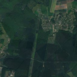
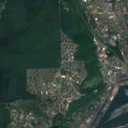
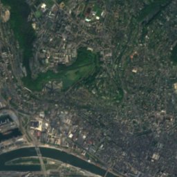
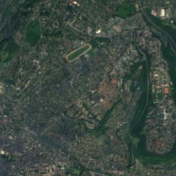
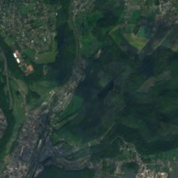
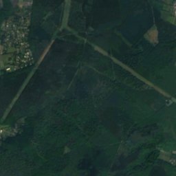
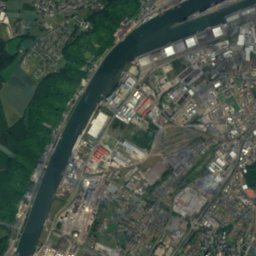
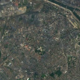
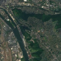
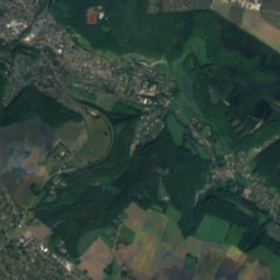
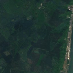
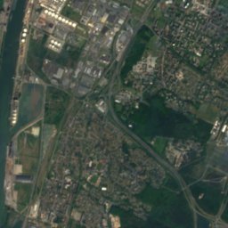
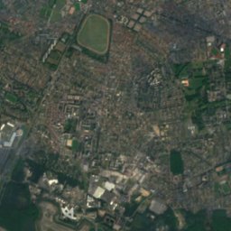
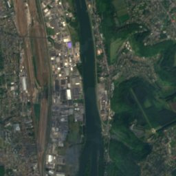
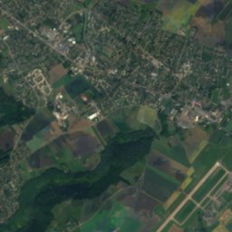
Satellite: Sentinel-2 cloudless 2016 by EOX IT Services GmbH · CC BY 4.0 · Contains modified Copernicus Sentinel data 2016
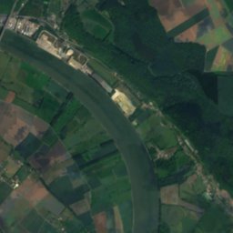
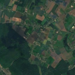
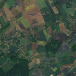
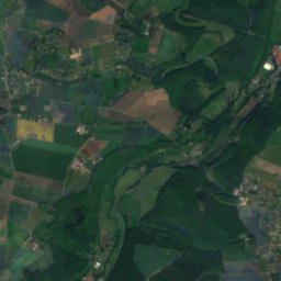
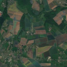
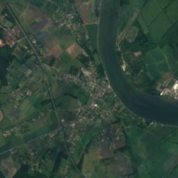
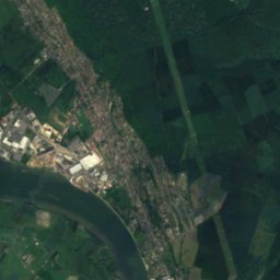
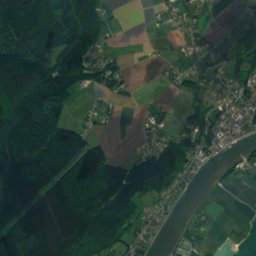
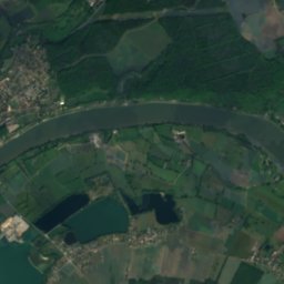
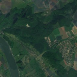
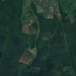
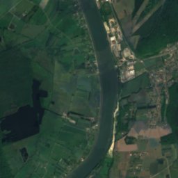
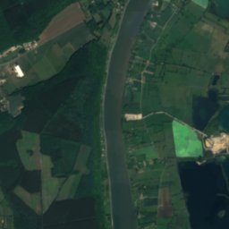
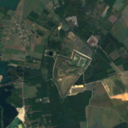
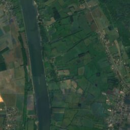
Satellite: Sentinel-2 cloudless 2016 by EOX IT Services GmbH · CC BY 4.0 · Contains modified Copernicus Sentinel data 2016
Stay nearby
Towns close by


Photo: Herbert Frank from Wien (Vienna), AT · CC BY 2.0 · Wikimedia CommonsReport this photo · linked, not stored
Rouen
Normandy · 3.5 km E
16°Oct high
15wet days
52score
Around here
Canteleu and around
Nature
Satellite: Sentinel-2 cloudless 2016 by EOX IT Services GmbH · CC BY 4.0 · Contains modified Copernicus Sentinel data 2016
Austreberthe
River
Heritage

Basilique du Sacré-Coeur de Rouen
listed in the general inventory of cultural heritage · 1912


Chantiers de Normandie
listed in the general inventory of cultural heritage · 1893
Museums

Maritime, Fluvial and Harbor Museum of Rouen
Maritime museum · 1999


