Skip to content
Destinations
Weather & climate
Nature
Outdoors
Culture
Events
Sky & live
Buëch
Photo: Richard Gertis · CC BY-SA 2.5 · Wikimedia Commons
BuëchReport this photo · linked, not stored
Trou d'Argent
Photo: Harald Hetzner · CC0 · Wikimedia Commons
Trou d'ArgentReport this photo · linked, not stored
Trou d'Argent
Grotte du Château de Saint-Didier
Photo: JYB Devot · CC BY-SA 4.0 · Wikimedia Commons
Grotte du Château de Saint-DidierReport this photo · linked, not stored
Grotte du Château de Saint-Didier
Jabron, Salignac
Photo: Sébastien Thébault · CC BY-SA 3.0 · Wikimedia Commons
Jabron, SalignacReport this photo · linked, not stored
Jabron, Salignac
Sasse
Photo: Jules Buech · Public domain · Wikimedia Commons
SasseReport this photo · linked, not stored
Sasse
RiverSisteron, Provence-Alpes-Côte d'Azur

Buëch

River461 m elevationBest Apr · Sep–Oct
Elevation461 mabove sea level
Length85 kmsource to mouth
Nearest townSisteron1.3 km
44.20° N, 5.94° EElevation 461 mUTC+2 · Central European Summer Time
When to goSisteron · weather score
JanFebMarAprMayJunJulAugSepOctNovDec78October
Best timeApr · Sep–Oct
October: high / low20° / 6°
River

Buëch in brief

Buëch is a river in Sisteron, Provence-Alpes-Côte d'Azur, France.

It lies at 461 m above sea level.

The nearest town in the atlas is Sisteron, 1.3 km to the S, where the weather is best in April, September and October.

Buëch is 85 km long.

Sisteron: weather and travel guide

Weather nearby now

Forecast for Sisteron
15°
Cloudy now
Wind13 km/h
Humidity43%
Cloud cover86%
Today
22 Oct
17°
4°
Fri
23 Oct
16°
7°
3 mm
Sat
24 Oct
14°
4°
Sun
25 Oct
18°
5°
Mon
26 Oct
20°
6°

Model run 00:00 UTCRefreshed several times a day

The course of the river

As mapped in OpenStreetMap, with the towns of the atlas along its banks.
sourcemouth (or where the mapped line leaves the country)
When to go

The best months around Buëch

Climate of Sisteron

Month score in Sisteron

Comfort, dry days and sunshine · out of 100
38
Jan
48
Feb
68
Mar
77
Apr
71
May
67
Jun
60
Jul
59
Aug
80
Sep
78
Oct
50
Nov
37
Dec
Map

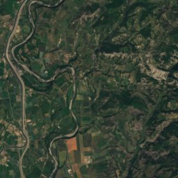
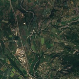
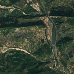
Buëch from above

Nature nearbyAll of France
Photo: Harald Hetzner · CC0 · Wikimedia CommonsReport this photo · linked, not stored
Trou d'ArgentCave2.5 kmETrou d'Argent
Photo: JYB Devot · CC BY-SA 4.0 · Wikimedia CommonsReport this photo · linked, not stored
Grotte du Château de Saint-DidierCave3.4 kmNGrotte du Château de Saint-Didier
Photo: Sébastien Thébault · CC BY-SA 3.0 · Wikimedia CommonsReport this photo · linked, not stored
Jabron, SalignacRiver4.8 kmSJabron, Salignac
Photo: Jules Buech · Public domain · Wikimedia CommonsReport this photo · linked, not stored
SasseRiver5.4 kmNSasse
Photo: JYB Devot · CC BY-SA 4.0 · Wikimedia CommonsReport this photo · linked, not stored
Grottes du Ravin de SorineCave8.2 kmEGrottes du Ravin de Sorine
Photo: JYB Devot · CC BY-SA 4.0 · Wikimedia CommonsReport this photo · linked, not stored
Source de SorineCave8.3 kmESource de Sorine
Summits nearbyMountains of France
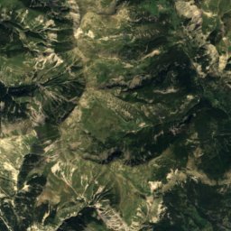
Photo: Christian Pinatel de Salvator · CC BY-SA 3.0 · Wikimedia CommonsReport this photo · linked, not stored
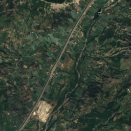
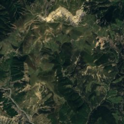
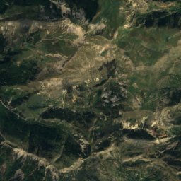
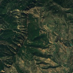
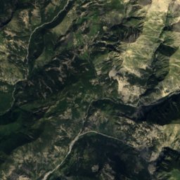
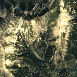
Les Monges21 km E2,115 mJuly 18°Les Monges
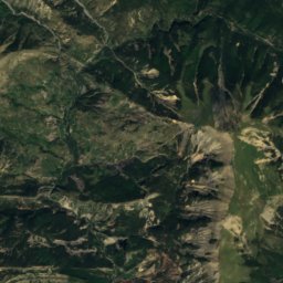
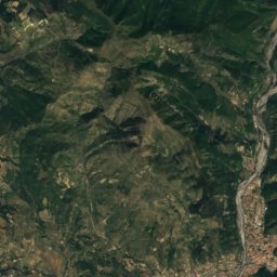
Satellite: Sentinel-2 cloudless 2016 by EOX IT Services GmbH · CC BY 4.0 · Contains modified Copernicus Sentinel data 2016
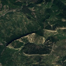
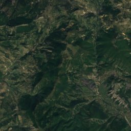
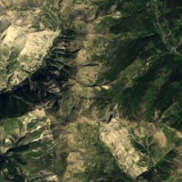
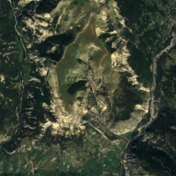
Les Plaines20 km E1,922 mJuly 20°Les Plaines
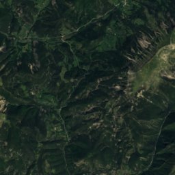
Satellite: Sentinel-2 cloudless 2016 by EOX IT Services GmbH · CC BY 4.0 · Contains modified Copernicus Sentinel data 2016
Sommet des Nibles22 km E1,909 mJuly 22°Sommet des Nibles
Photo: Harald Hetzner · CC0 · Wikimedia CommonsReport this photo · linked, not stored
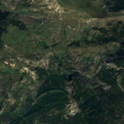
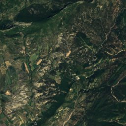
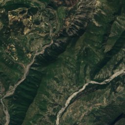
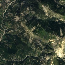
Montagne de Jouère15 km NE1,886 mJuly 22°Montagne de Jouère
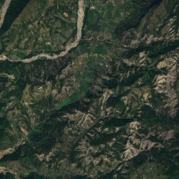
Satellite: Sentinel-2 cloudless 2016 by EOX IT Services GmbH · CC BY 4.0 · Contains modified Copernicus Sentinel data 2016
Sommet de Géruen19 km E1,885 mJuly 21°Sommet de Géruen
Photo: Anthospace · CC BY-SA 3.0 · Wikimedia CommonsReport this photo · linked, not stored
Montagne de Lure, Noyers-sur-Jabron14 km SW1,825 mJuly 21°Montagne de Lure, Noyers-sur-Jabron
Stay nearby

Towns close by

Sisteron
Photo: Régis Martel · CC BY-SA 3.0 · Wikimedia CommonsReport this photo · linked, not stored

Sisteron

Provence-Alpes-Côte d'Azur · 1.3 km S
20°Oct high
9wet days
78score
Sisteron
Entrepierres
Photo: Sébastien Thébault · CC BY-SA 3.0 · Wikimedia CommonsReport this photo · linked, not stored

Entrepierres

Provence-Alpes-Côte d'Azur · 3.9 km E
19°Oct high
9wet days
78score
Entrepierres
Bevons
Photo: Sébastien Thébault · CC BY-SA 3.0 · Wikimedia CommonsReport this photo · linked, not stored

Bevons

Provence-Alpes-Côte d'Azur · 5.5 km SW
20°Oct high
9wet days
78score
Bevons
Salignac
Photo: Sébastien Thébault · CC BY-SA 3.0 · Wikimedia CommonsReport this photo · linked, not stored

Salignac

Provence-Alpes-Côte d'Azur · 5.8 km SE
20°Oct high
9wet days
79score
Salignac
Around here

Sisteron and around

Sisteron
Photo: Régis Martel · CC BY-SA 3.0 · Wikimedia CommonsReport this photo · linked, not stored

Sisteron

Provence-Alpes-Côte d'Azur · France
Apr · Sep–Octbest months
30°July high
483 maltitude
Sisteron

Nature

Jabron, Salignac
Photo: Sébastien Thébault · CC BY-SA 3.0 · Wikimedia CommonsReport this photo · linked, not stored
3.5 km S

Jabron, Salignac

River
Jabron, Salignac
Sasse
Photo: Jules Buech · Public domain · Wikimedia CommonsReport this photo · linked, not stored
6.7 km N

Sasse

River
Sasse
Vançon
Photo: Michel ROYON This illustration was made by (User:Royonx) and released under the · CC BY-SA 3.0 · Wikimedia CommonsReport this photo · linked, not stored
7.4 km SE

Vançon

River
Vançon

Mountains

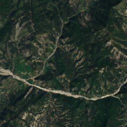
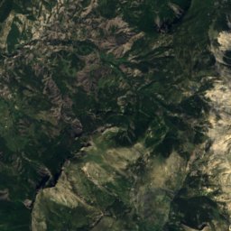
Satellite: Sentinel-2 cloudless 2016 by EOX IT Services GmbH · CC BY 4.0 · Contains modified Copernicus Sentinel data 2016
39 km E

Cheval-Blanc mountain

2,323 m
Cheval-Blanc mountain
Blayeul
Photo: Mzelle Laure · CC BY 2.5 · Wikimedia CommonsReport this photo · linked, not stored
30 km E

Blayeul

2,189 m · Massif des Trois-Évêchés
Blayeul
Les Monges
Photo: Christian Pinatel de Salvator · CC BY-SA 3.0 · Wikimedia CommonsReport this photo · linked, not stored
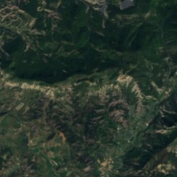
21 km E

Les Monges

2,115 m · Northern Digne Prealps
Les Monges

Heritage

Sisteron Cathedral
Photo: Chabe01 · CC BY-SA 4.0 · Wikimedia CommonsReport this photo · linked, not stored
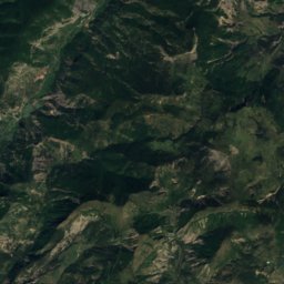
0.7 km N

Sisteron Cathedral

classified historical monument · 1160
Sisteron Cathedral
Citadelle de Sisteron
Photo: Régis Martel · CC BY-SA 3.0 · Wikimedia CommonsReport this photo · linked, not stored
1.0 km N

Citadelle de Sisteron

monument historique inscrit
Citadelle de Sisteron
Chapelle Saint-Marcel de Sisteron
Photo: MOSSOT · CC BY 3.0 · Wikimedia CommonsReport this photo · linked, not stored
1.3 km N

Chapelle Saint-Marcel de Sisteron

classified historical monument
Chapelle Saint-Marcel de Sisteron

Museums

Satellite: Sentinel-2 cloudless 2016 by EOX IT Services GmbH · CC BY 4.0 · Contains modified Copernicus Sentinel data 2016
0.8 km N

Musée du vieux Sisteron

Musée du vieux Sisteron