
 Caramy
 Cassole

Photo: Thérèse Gaigé · CC BY-SA 3.0 · Wikimedia Commons
Issole, CabasseReport this photo · linked, not stored
Issole, CabasseIssole, CabasseReport this photo · linked, not stored

Photo: Arnaud.scherer · CC BY-SA 3.0 · Wikimedia Commons
Cascade de SillansReport this photo · linked, not stored
Cascade de SillansCascade de SillansReport this photo · linked, not stored
RiverEntrecasteaux, Provence-Alpes-Côte d'Azur
Bresque
River121 m elevationBest Mar–Apr · Oct
Elevation121 mabove sea level
Length35 kmsource to mouth
Nearest townEntrecasteaux3.9 km
43.48° N, 6.23° EElevation 121 mUTC+1 · Central European Standard Time
When to goEntrecasteaux · weather score
Best timeMar–Apr · Oct
October: high / low21° / 9°
River
Bresque in brief
Bresque is a river in Entrecasteaux, Provence-Alpes-Côte d'Azur, France.
It lies at 121 m above sea level.
The nearest town is Entrecasteaux, 3.9 km to the N, where the weather is best in March, April and October.
Bresque is 35 km long.
Weather nearby now
Forecast for Entrecasteaux20°
Cloudy now
Today
29 Oct
23°
9°
Fri
30 Oct
21°
9°
3 mm
Sat
31 Oct
22°
7°
1 mm
Sun
1 Nov
16°
9°
3 mm
Mon
2 Nov
19°
6°
Model run 00:00 UTCRefreshed several times a day
When to go
Climate of EntrecasteauxThe best months around Bresque
Month score in Entrecasteaux
Comfort, dry days and sunshine · out of 10050
Jan
61
Feb
79
Mar
78
Apr
75
May
66
Jun
57
Jul
57
Aug
74
Sep
80
Oct
63
Nov
51
Dec
Map
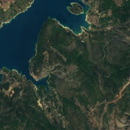
Bresque from above
Nature nearbyAll of France


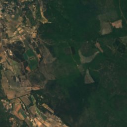
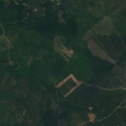
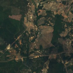
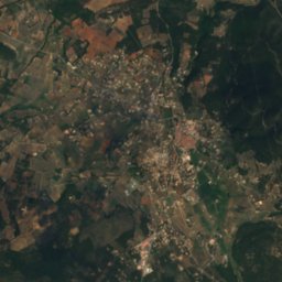
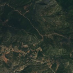
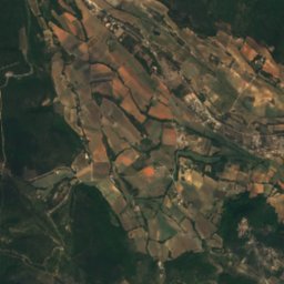
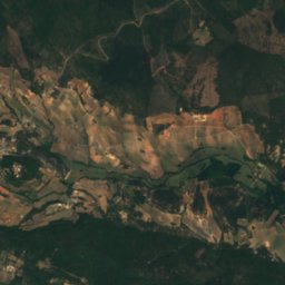
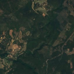
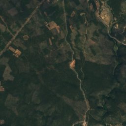
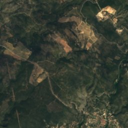
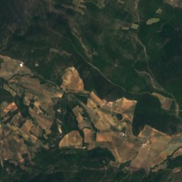
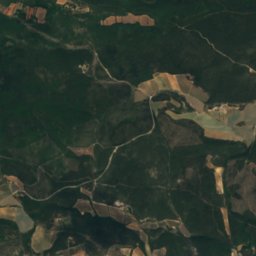
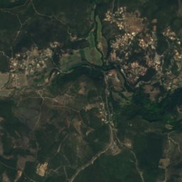
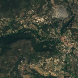
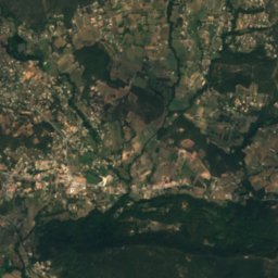
Satellite: Sentinel-2 cloudless 2016 by EOX IT Services GmbH · CC BY 4.0 · Contains modified Copernicus Sentinel data 2016

Summits nearbyMountains of France
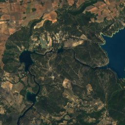
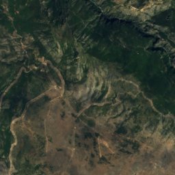
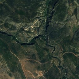
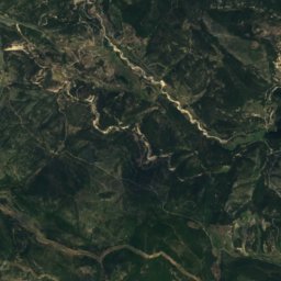
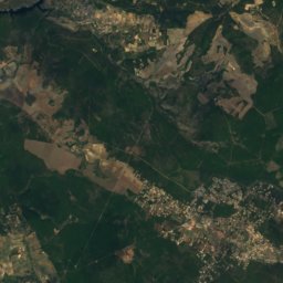
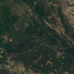
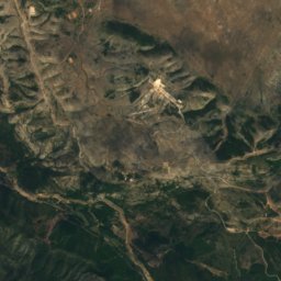
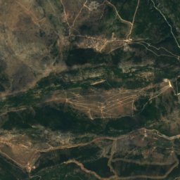
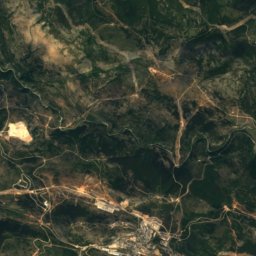
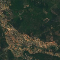
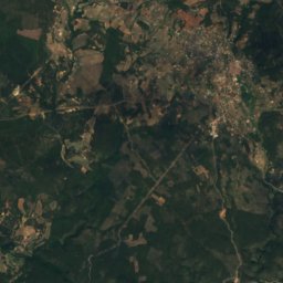
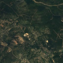
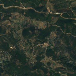
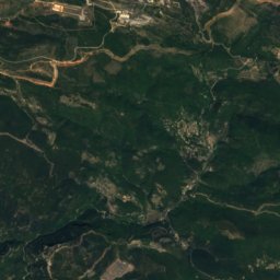
Satellite: Sentinel-2 cloudless 2016 by EOX IT Services GmbH · CC BY 4.0 · Contains modified Copernicus Sentinel data 2016
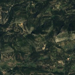
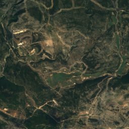
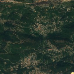
Satellite: Sentinel-2 cloudless 2016 by EOX IT Services GmbH · CC BY 4.0 · Contains modified Copernicus Sentinel data 2016
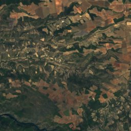
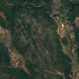
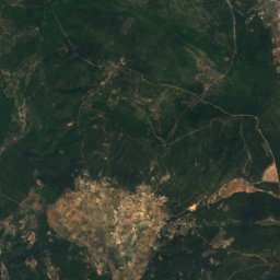
Satellite: Sentinel-2 cloudless 2016 by EOX IT Services GmbH · CC BY 4.0 · Contains modified Copernicus Sentinel data 2016
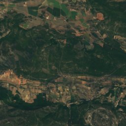
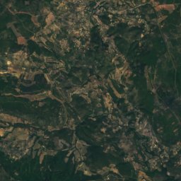
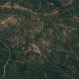
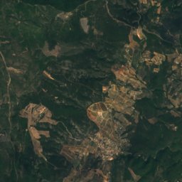
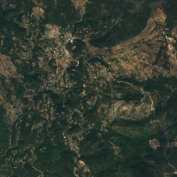
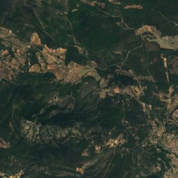
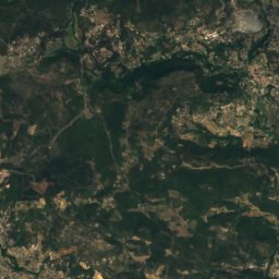
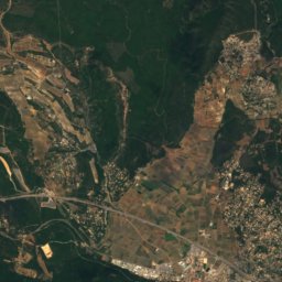
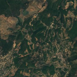
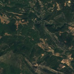
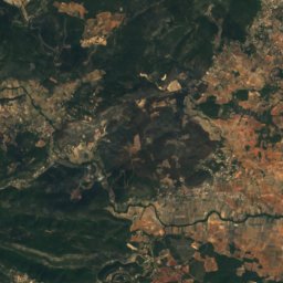
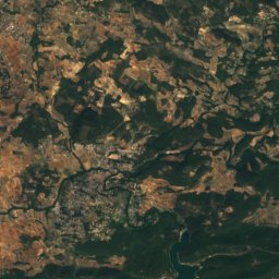
Satellite: Sentinel-2 cloudless 2016 by EOX IT Services GmbH · CC BY 4.0 · Contains modified Copernicus Sentinel data 2016
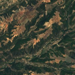
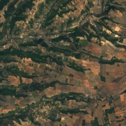
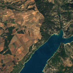
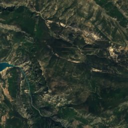
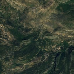
Satellite: Sentinel-2 cloudless 2016 by EOX IT Services GmbH · CC BY 4.0 · Contains modified Copernicus Sentinel data 2016

Stay nearby
Towns close by


Saint-Antonin-du-Var
Provence-Alpes-Côte d'Azur · 5.2 km NE
21°Oct high
9wet days
78score

Photo: Marc DUPUY from Marseille, France · CC BY-SA 2.0 · Wikimedia CommonsReport this photo · linked, not stored
Cabasse
Provence-Alpes-Côte d'Azur · 6.2 km S
21°Oct high
8wet days
80score
Around here
Entrecasteaux and around

Entrecasteaux
Provence-Alpes-Côte d'Azur · France
Mar–Apr · Octbest months
32°July high
161 maltitude
Nature
Satellite: Sentinel-2 cloudless 2016 by EOX IT Services GmbH · CC BY 4.0 · Contains modified Copernicus Sentinel data 2016
Fontbrégoua Cave
Cave
Mountains
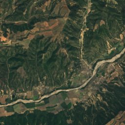
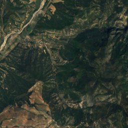
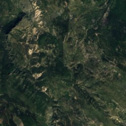
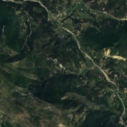
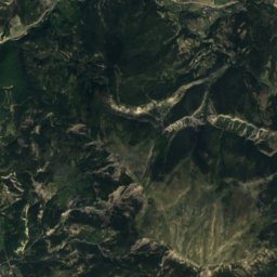
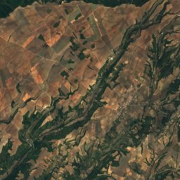
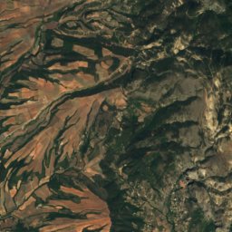
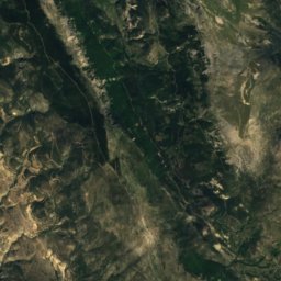
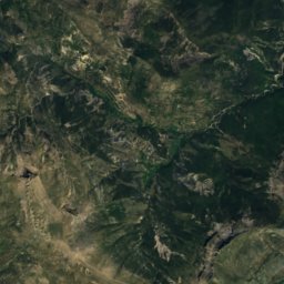
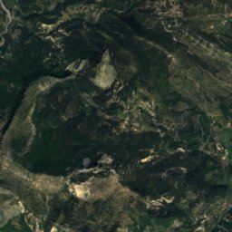
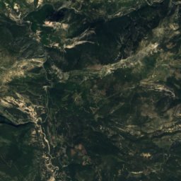
Satellite: Sentinel-2 cloudless 2016 by EOX IT Services GmbH · CC BY 4.0 · Contains modified Copernicus Sentinel data 2016
Mourre de Chanier
1,930 m


Photo: This illustration was made by (User:Royonx) and released under the license(s) st · CC BY-SA 3.0 · Wikimedia CommonsReport this photo · linked, not stored
Grand Margès
1,576 m · Castellane Prealps
Heritage

Chapelle Notre-Dame-de-l'Aube
classified historical monument · 1150


Museums

Photo: Spiridon Ion Cepleanu · CC BY-SA 3.0 · Wikimedia CommonsReport this photo · linked, not stored
