Skip to content
Destinations
Weather & climate
Nature
Outdoors
Culture
Events
Sky & live
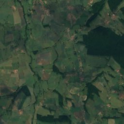
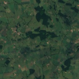
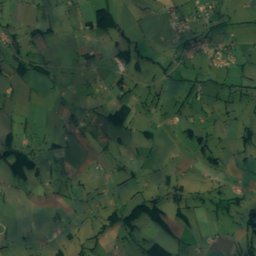
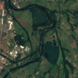
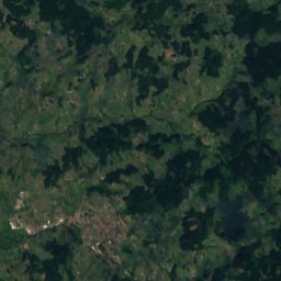
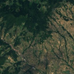
Botoret
Photo: Havang(nl) · CC0 · Wikimedia Commons
BotoretReport this photo · linked, not stored
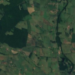
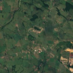
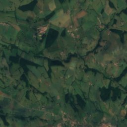
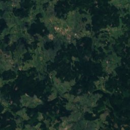
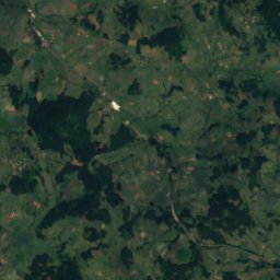
Bezo
Photo: Havang(nl) · CC0 · Wikimedia Commons
BezoReport this photo · linked, not stored
Bezo
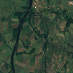
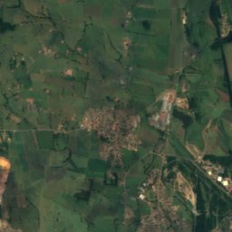
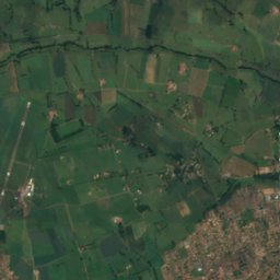
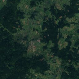
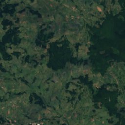
Sornin
Photo: Havang(nl) · CC0 · Wikimedia Commons
SorninReport this photo · linked, not stored
Sornin
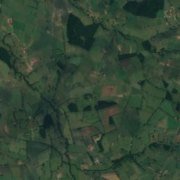
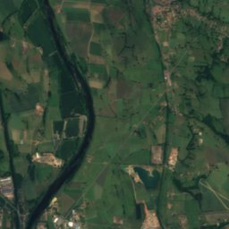
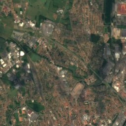
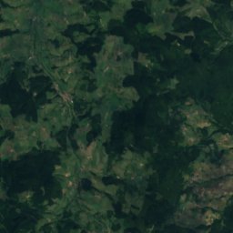
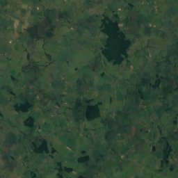
Jarnossin
Photo: Havang(nl) · CC0 · Wikimedia Commons
JarnossinReport this photo · linked, not stored
Jarnossin
Teysonne
Photo: Havang(nl) · CC0 · Wikimedia Commons
TeysonneReport this photo · linked, not stored
Teysonne
RiverSaint-Denis-de-Cabanne, Auvergne-Rhône-Alpes

Botoret

RiverBest Jun · Aug–Sep
Elevation–above sea level
Length23 kmsource to mouth
Nearest townSaint-Denis-de-Cabanne0.5 km
46.18° N, 4.21° EUTC+1 · Central European Standard Time
When to goSaint-Denis-de-Cabanne · weather score
JanFebMarAprMayJunJulAugSepOctNovDec62October
Best timeJun · Aug–Sep
October: high / low17° / 8°
River

Botoret in brief

Botoret is a river in Saint-Denis-de-Cabanne, Auvergne-Rhône-Alpes, France.

The nearest town is Saint-Denis-de-Cabanne, 0.5 km to the SE, where the weather is best in June, August and September.

Botoret is 23 km long.

Saint-Denis-de-Cabanne: weather and travel guide

Weather nearby now

Forecast for Saint-Denis-de-Cabanne
12°
Sunny now
Wind10 km/h
Humidity81%
Cloud cover0%
Today
30 Oct
14°
4°
Sat
31 Oct
12°
3°
Sun
1 Nov
11°
2°
Mon
2 Nov
10°
1°
Tue
3 Nov
9°
1°

Model run 12:00 UTCRefreshed several times a day

The course of the river

As mapped in OpenStreetMap, with the towns along its banks.
sourcemouth (or where the mapped line leaves the country)
When to go

The best months around Botoret

Climate of Saint-Denis-de-Cabanne

Month score in Saint-Denis-de-Cabanne

Comfort, dry days and sunshine · out of 100
21
Jan
28
Feb
42
Mar
61
Apr
65
May
70
Jun
67
Jul
68
Aug
77
Sep
62
Oct
26
Nov
19
Dec
Map

Botoret from above

Nature nearbyAll of France
Photo: Havang(nl) · CC0 · Wikimedia CommonsReport this photo · linked, not stored
BezoRiver2.7 kmSWBezo
Photo: Havang(nl) · CC0 · Wikimedia CommonsReport this photo · linked, not stored
SorninRiver9.2 kmWSornin
Photo: Havang(nl) · CC0 · Wikimedia CommonsReport this photo · linked, not stored
JarnossinRiver9.7 kmSWJarnossin
Photo: Havang(nl) · CC0 · Wikimedia CommonsReport this photo · linked, not stored
TeysonneRiver10 kmWTeysonne
Satellite: Sentinel-2 cloudless 2016 by EOX IT Services GmbH · CC BY 4.0 · Contains modified Copernicus Sentinel data 2016
TrambouzanRiver14 kmSWTrambouzan
Photo: Havang(nl) · CC0 · Wikimedia CommonsReport this photo · linked, not stored
RhinsRiver16 kmSWRhins
Summits nearbyMountains of France
Photo: Anthospace · CC BY-SA 3.0 · Wikimedia CommonsReport this photo · linked, not stored
Mont Saint-Rigaud21 km E1,009 mJuly 22°Mont Saint-Rigaud
Satellite: Sentinel-2 cloudless 2016 by EOX IT Services GmbH · CC BY 4.0 · Contains modified Copernicus Sentinel data 2016
Mont Monet21 km E1,001 mJuly 23°Mont Monet
Photo: PY54 · CC BY-SA 4.0 · Wikimedia CommonsReport this photo · linked, not stored
Roche d'Ajoux19 km E970 mJuly 23°Roche d'Ajoux
Photo: PHILDIC · Public domain · Wikimedia CommonsReport this photo · linked, not stored
Mont Tourvéon23 km E949 mJuly 23°Mont Tourvéon
Satellite: Sentinel-2 cloudless 2016 by EOX IT Services GmbH · CC BY 4.0 · Contains modified Copernicus Sentinel data 2016
Mont Saint-Cyr, Bourgogne-Franche-Comté24 km NE771 mJuly 24°Mont Saint-Cyr, Bourgogne-Franche-Comté
Photo: L'amandier · CC BY-SA 3.0 · Wikimedia CommonsReport this photo · linked, not stored
Montagne de Dun16 km NE708 mJuly 26°Montagne de Dun
Stay nearby

Towns close by

Saint-Denis-de-Cabanne
Photo: Havang(nl) · CC0 · Wikimedia CommonsReport this photo · linked, not stored

Saint-Denis-de-Cabanne

Auvergne-Rhône-Alpes · 0.5 km SE
17°Oct high
12wet days
62score
Saint-Denis-de-Cabanne
Maizilly
Photo: Sebleouf · CC BY-SA 4.0 · Wikimedia CommonsReport this photo · linked, not stored

Maizilly

Auvergne-Rhône-Alpes · 2.6 km E
17°Oct high
12wet days
61score
Maizilly
Saint-Edmond
Photo: Ksnow · CC BY-SA 4.0 · Wikimedia CommonsReport this photo · linked, not stored

Saint-Edmond

Bourgogne-Franche-Comté · 3.0 km N
17°Oct high
12wet days
61score
Saint-Edmond
Chandon
Photo: Sebleouf · CC BY-SA 4.0 · Wikimedia CommonsReport this photo · linked, not stored

Chandon

Auvergne-Rhône-Alpes · 3.0 km S
17°Oct high
12wet days
61score
Chandon
Around here

Saint-Denis-de-Cabanne and around

Saint-Denis-de-Cabanne
Photo: Havang(nl) · CC0 · Wikimedia CommonsReport this photo · linked, not stored

Saint-Denis-de-Cabanne

Auvergne-Rhône-Alpes · France
Jun · Aug–Sepbest months
27°July high
311 maltitude
Saint-Denis-de-Cabanne

Nature

Sornin
Photo: Havang(nl) · CC0 · Wikimedia CommonsReport this photo · linked, not stored
9.2 km W

Sornin

River
Sornin
Jarnossin
Photo: Havang(nl) · CC0 · Wikimedia CommonsReport this photo · linked, not stored
9.6 km SW

Jarnossin

River
Jarnossin
Bezo
Photo: Havang(nl) · CC0 · Wikimedia CommonsReport this photo · linked, not stored
2.6 km SW

Bezo

River
Bezo

Mountains

Mont Saint-Rigaud
Photo: Anthospace · CC BY-SA 3.0 · Wikimedia CommonsReport this photo · linked, not stored
21 km E

Mont Saint-Rigaud

1,009 m · Massif Central
Mont Saint-Rigaud
Mont Boussuivre
Photo: Vikingenergy · CC BY-SA 3.0 · Wikimedia CommonsReport this photo · linked, not stored
38 km S

Mont Boussuivre

1,004 m · Massif Central
Mont Boussuivre
Satellite: Sentinel-2 cloudless 2016 by EOX IT Services GmbH · CC BY 4.0 · Contains modified Copernicus Sentinel data 2016
21 km E

Mont Monet

1,001 m · Massif Central
Mont Monet

Heritage

Church of La Bénisson-Dieu
Photo: Jlcarves · CC BY-SA 3.0 · Wikimedia CommonsReport this photo · linked, not stored
13 km W

Church of La Bénisson-Dieu

classified historical monument · 1138
Church of La Bénisson-Dieu
Église Saint-Hilaire de Semur-en-Brionnais
Photo: Jochen Jahnke 17:04, 13. Mär. 2010 (CET) · CC BY-SA 3.0 · Wikimedia CommonsReport this photo · linked, not stored
14 km NW

Église Saint-Hilaire de Semur-en-Brionnais

classified historical monument
Église Saint-Hilaire de Semur-en-Brionnais
Église Saints-Pierre-et-Paul de Châteauneuf (Saône-et-Loire)
Photo: Lnlab · CC BY-SA 3.0 · Wikimedia CommonsReport this photo · linked, not stored
5.4 km NE

Église Saints-Pierre-et-Paul de Châteauneuf (Saône-et-Loire)

classified historical monument
Église Saints-Pierre-et-Paul de Châteauneuf (Saône-et-Loire)

Museums

Satellite: Sentinel-2 cloudless 2016 by EOX IT Services GmbH · CC BY 4.0 · Contains modified Copernicus Sentinel data 2016
3.6 km SW

Musée de la soierie

Musée de la soierie
Satellite: Sentinel-2 cloudless 2016 by EOX IT Services GmbH · CC BY 4.0 · Contains modified Copernicus Sentinel data 2016
3.6 km SW

Musée hospitalier

Musée hospitalier