
Photo: Mica · CC BY-SA 2.5 · Wikimedia Commons
Bièvre, Île-de-FranceReport this photo · linked, not stored
Bièvre, Île-de-FranceReport this photo · linked, not stored

Photo: Moonik · CC BY-SA 3.0 · Wikimedia Commons
île Saint-Louis, Île-de-FranceReport this photo · linked, not stored
île Saint-Louis, Île-de-Franceîle Saint-Louis, Île-de-FranceReport this photo · linked, not stored

Photo: David Monniaux · CC BY-SA 3.0 · Wikimedia Commons
île de la CitéReport this photo · linked, not stored
île de la Citéîle de la CitéReport this photo · linked, not stored

Photo: Poulpy · CC BY-SA 3.0 · Wikimedia Commons
Réservoir de l'hôpital Saint-LouisReport this photo · linked, not stored
Réservoir de l'hôpital Saint-LouisRéservoir de l'hôpital Saint-LouisReport this photo · linked, not stored

Photo: Eutouring · CC BY-SA 4.0 · Wikimedia Commons
Lake of the Parc de BercyReport this photo · linked, not stored
Lake of the Parc de BercyLake of the Parc de BercyReport this photo · linked, not stored
RiverParis, Île-de-France
Bièvre, Île-de-France
River48 m elevationBest Jun–Jul · Sep
Elevation48 mabove sea level
Length35 kmsource to mouth
Nearest townParis0.3 km
48.85° N, 2.35° EElevation 48 mUTC+2 · Central European Summer Time
When to goParis · weather score
Best timeJun–Jul · Sep
October: high / low17° / 9°
River
Bièvre, Île-de-France in brief
Bièvre, Île-de-France is a river in Paris, Île-de-France, France.
It lies at 48 m above sea level.
The nearest town in the atlas is Paris, 0.3 km to the NW, where the weather is best in June, July and September.
Bièvre, Île-de-France is 35 km long.
Weather nearby now
Forecast for Paris16°
Cloudy now
Today
22 Oct
16°
9°
1 mm
Fri
23 Oct
13°
9°
4 mm
Sat
24 Oct
13°
8°
9 mm
Sun
25 Oct
16°
12°
11 mm
Mon
26 Oct
17°
9°
2 mm
Model run 00:00 UTCRefreshed several times a day
The course of the river
As mapped in OpenStreetMap, with the towns of the atlas along its banks.- 1L'Haÿ-les-Roses94 m
- 2Bourg-la-Reine55 m
- 3Fresnes68 m
- 4Sceaux93 m
- 5Wissous78 m
- 6Verrières-le-Buisson85 m
- 7Antony66 m
- 8Massy84 m
sourcemouth (or where the mapped line leaves the country)
Map
Bièvre, Île-de-France from above
Nature nearbyAll of France
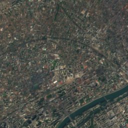
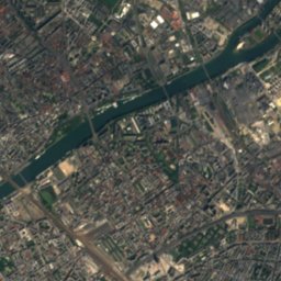
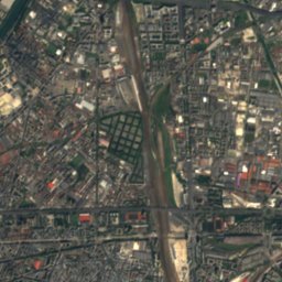
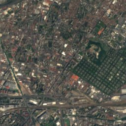
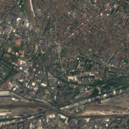
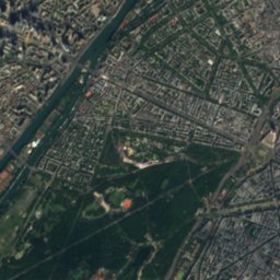
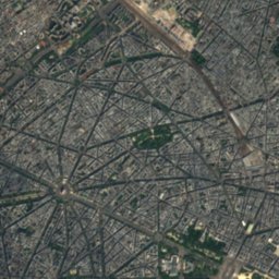
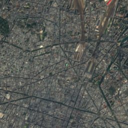
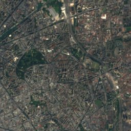
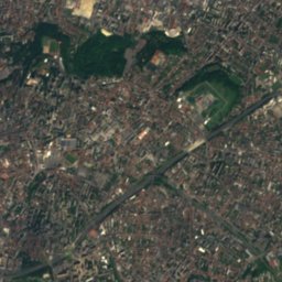
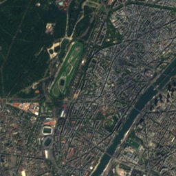
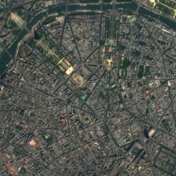
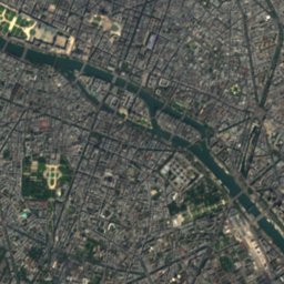
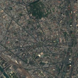
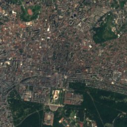
Satellite: Sentinel-2 cloudless 2016 by EOX IT Services GmbH · CC BY 4.0 · Contains modified Copernicus Sentinel data 2016


Satellite: Sentinel-2 cloudless 2016 by EOX IT Services GmbH · CC BY 4.0 · Contains modified Copernicus Sentinel data 2016


Stay nearby
Towns close by

Photo: Yann Caradec from Paris, France · CC BY-SA 2.0 · Wikimedia CommonsReport this photo · linked, not stored
Paris
Île-de-France · 0.3 km NW
17°Oct high
12wet days
58score

5th arrondissement of Paris
Île-de-France · 0.8 km S
17°Oct high
12wet days
57score

4th arrondissement of Paris
Île-de-France · 1.0 km N
17°Oct high
12wet days
58score

Photo: Cristian Bortes from Cluj-Napoca, Romania · CC BY 2.0 · Wikimedia CommonsReport this photo · linked, not stored
1st arrondissement of Paris
Île-de-France · 1.1 km NW
17°Oct high
12wet days
58score
Around here
Paris and around
Photo: Yann Caradec from Paris, France · CC BY-SA 2.0 · Wikimedia CommonsReport this photo · linked, not stored
Paris
Île-de-France · France
Jun–Jul · Sepbest months
26°July high
42 maltitude
Nature


Heritage


Museums


Photo: Cheng-en Cheng from Taichung City, Taiwan · CC BY-SA 2.0 · Wikimedia CommonsReport this photo · linked, not stored
Musée d'Orsay
Art museum · 1986


