Skip to content
Destinations
Weather & climate
Nature
Outdoors
Culture
Events
Sky & live
Bevinco
Photo: Pierre Bona · CC BY-SA 3.0 · Wikimedia Commons
BevincoReport this photo · linked, not stored
Lac de Padula
Photo: Pierre Bona · CC BY-SA 3.0 · Wikimedia Commons
Lac de PadulaReport this photo · linked, not stored
Lac de Padula
Oso
Photo: Telperion · CC BY-SA 3.0 · Wikimedia Commons
OsoReport this photo · linked, not stored
Oso
Monte Asto
Photo: Pierre Bona · CC BY-SA 3.0 · Wikimedia Commons
Monte AstoReport this photo · linked, not stored
Monte Asto
Monte Reggi Pozzo
Photo: Pierre Bona · CC BY-SA 3.0 · Wikimedia Commons
Monte Reggi PozzoReport this photo · linked, not stored
Monte Reggi Pozzo
RiverFuriani, Corsica

Bevinco

RiverBest May–Jul
Elevation–above sea level
Length28 kmsource to mouth
Nearest townFuriani3.0 km
42.66° N, 9.45° EUTC+2 · Central European Summer Time
When to goFuriani · weather score
JanFebMarAprMayJunJulAugSepOctNovDec76October
Best timeMay–Jul
October: high / low21° / 13°
River

Bevinco in brief

Bevinco is a river in Furiani, Corsica, France — watercourse.

The nearest town in the atlas is Furiani, 3.0 km to the W, where the weather is best in May, June and July.

Bevinco is 28 km long.

Furiani: weather and travel guide

Weather nearby now

Forecast for Furiani
18°
Cloudy now
Wind19 km/h
Humidity52%
Cloud cover61%
Today
22 Oct
22°
13°
Fri
23 Oct
22°
12°
Sat
24 Oct
21°
11°
Sun
25 Oct
21°
10°
Mon
26 Oct
22°
12°

Model run 00:00 UTCRefreshed several times a day

When to go

The best months around Bevinco

Climate of Furiani

Month score in Furiani

Comfort, dry days and sunshine · out of 100
Map

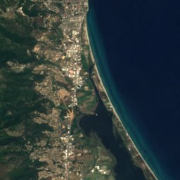
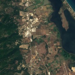
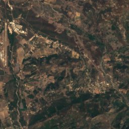
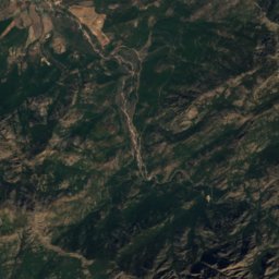
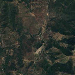
Bevinco from above

Nature nearbyAll of France
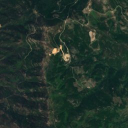
Satellite: Sentinel-2 cloudless 2016 by EOX IT Services GmbH · CC BY 4.0 · Contains modified Copernicus Sentinel data 2016
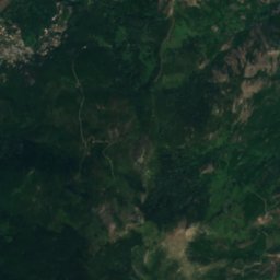
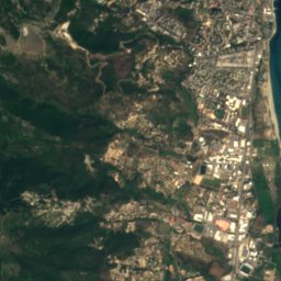
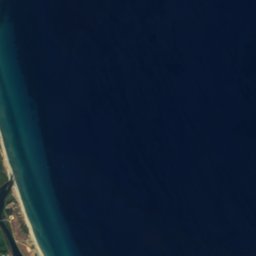
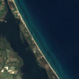
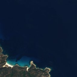
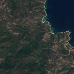
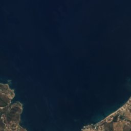
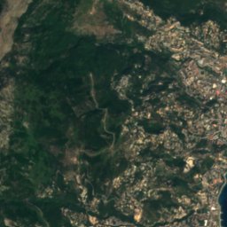
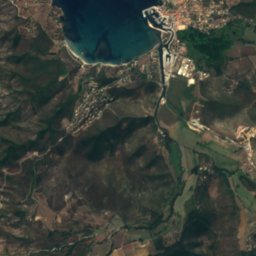
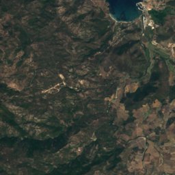
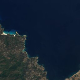
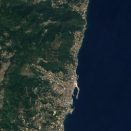
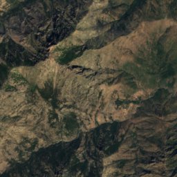
Île San-DamianoIsland6.8 kmSÎle San-Damiano
Satellite: Sentinel-2 cloudless 2016 by EOX IT Services GmbH · CC BY 4.0 · Contains modified Copernicus Sentinel data 2016
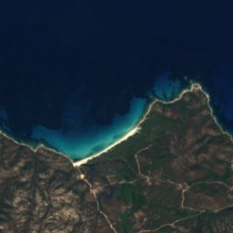
San Damiano IslandIsland6.8 kmSSan Damiano Island
Photo: Pierre Bona · CC BY-SA 3.0 · Wikimedia CommonsReport this photo · linked, not stored
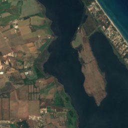
Lac de PadulaLake11 kmWLac de Padula
Photo: Telperion · CC BY-SA 3.0 · Wikimedia CommonsReport this photo · linked, not stored
OsoRiver12 kmWOso
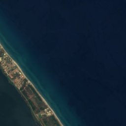
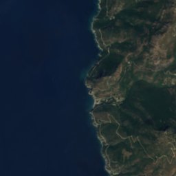
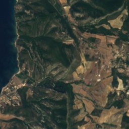
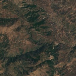
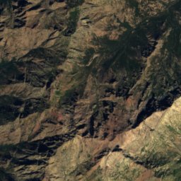
Satellite: Sentinel-2 cloudless 2016 by EOX IT Services GmbH · CC BY 4.0 · Contains modified Copernicus Sentinel data 2016
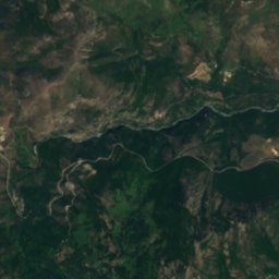
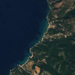
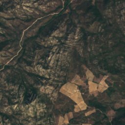
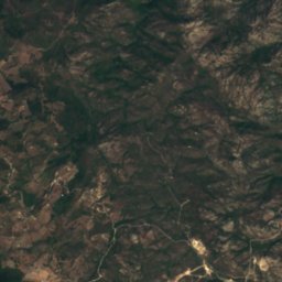
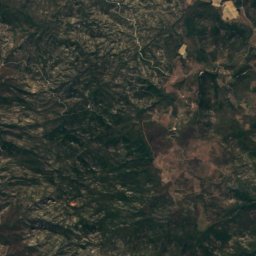
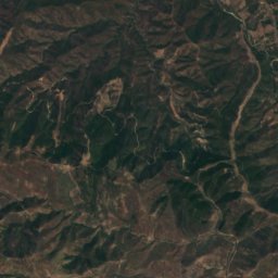
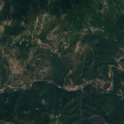
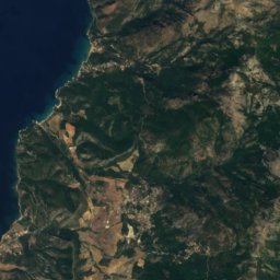
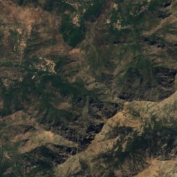
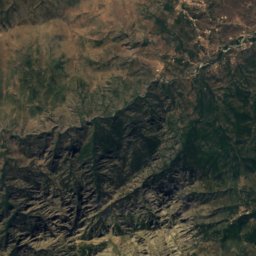
FarinoleRiver12 kmNWFarinole
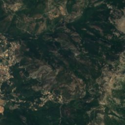
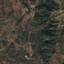
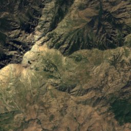
Satellite: Sentinel-2 cloudless 2016 by EOX IT Services GmbH · CC BY 4.0 · Contains modified Copernicus Sentinel data 2016
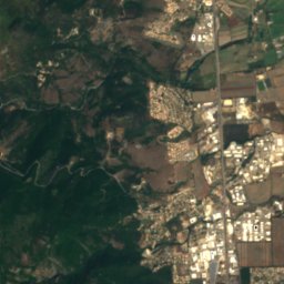
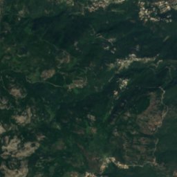
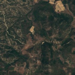
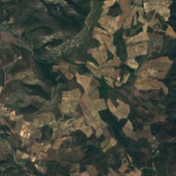
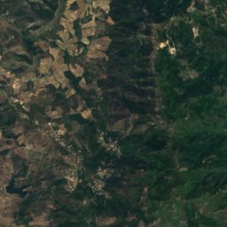
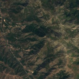
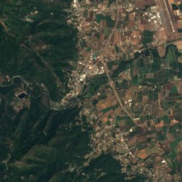
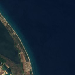
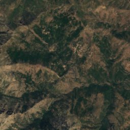
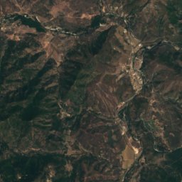
AlisoRiver13 kmWAliso
Summits nearbyMountains of France
Photo: Pierre Bona · CC BY-SA 3.0 · Wikimedia CommonsReport this photo · linked, not stored
Monte Asto22 km SW1,535 mJuly 23°Monte Asto
Photo: Pierre Bona · CC BY-SA 3.0 · Wikimedia CommonsReport this photo · linked, not stored
Monte Reggi Pozzo23 km SW1,469 mJuly 24°Monte Reggi Pozzo
Photo: TeletubAstyanax · CC BY-SA 3.0 · Wikimedia CommonsReport this photo · linked, not stored
Cima delle Follicce19 km N1,324 mJuly 19°Cima delle Follicce
Photo: TeletubAstyanax · CC BY-SA 3.0 · Wikimedia CommonsReport this photo · linked, not stored
Monte Stello15 km N1,306 mJuly 19°Monte Stello
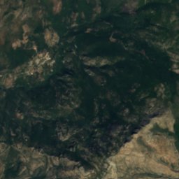
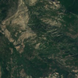
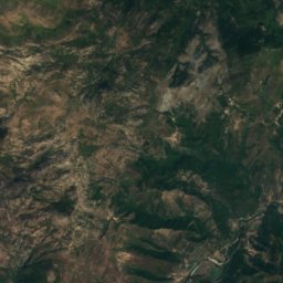
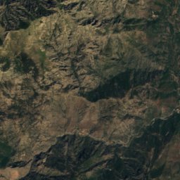
Satellite: Sentinel-2 cloudless 2016 by EOX IT Services GmbH · CC BY 4.0 · Contains modified Copernicus Sentinel data 2016
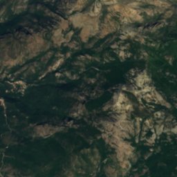
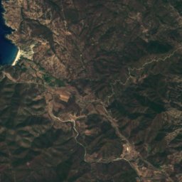
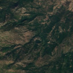
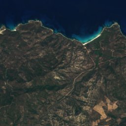
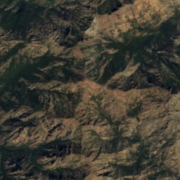
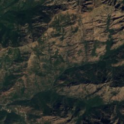
Cima allo Spazzuolo15 km SW1,204 mJuly 25°Cima allo Spazzuolo
Photo: Pierre Bona · CC BY-SA 3.0 · Wikimedia CommonsReport this photo · linked, not stored
Monte Prunu11 km NW1,183 mJuly 23°Monte Prunu
Stay nearby

Towns close by

Furiani
Photo: Pierre Bona · CC BY-SA 3.0 · Wikimedia CommonsReport this photo · linked, not stored

Furiani

Corsica · 3.0 km W
21°Oct high
10wet days
76score
Furiani
Satellite: Sentinel-2 cloudless 2016 by EOX IT Services GmbH · CC BY 4.0 · Contains modified Copernicus Sentinel data 2016

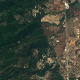
Biguglia

Corsica · 4.4 km SW
21°Oct high
10wet days
76score
Biguglia
Bastia
Photo: dronepicr · CC BY 2.0 · Wikimedia CommonsReport this photo · linked, not stored

Bastia

Corsica · 4.8 km N
21°Oct high
10wet days
76score
Bastia
Ville-di-Pietrabugno
Photo: Pierre Bona · CC BY-SA 3.0 · Wikimedia CommonsReport this photo · linked, not stored

Ville-di-Pietrabugno

Corsica · 6.2 km N
20°Oct high
10wet days
76score
Ville-di-Pietrabugno
Around here

Furiani and around

Furiani
Photo: Pierre Bona · CC BY-SA 3.0 · Wikimedia CommonsReport this photo · linked, not stored

Furiani

Corsica · France
May–Julbest months
28°July high
210 maltitude
Furiani

Nature

Oso
Photo: Telperion · CC BY-SA 3.0 · Wikimedia CommonsReport this photo · linked, not stored
8.9 km W

Oso

River
Oso
Lac de Padula
Photo: Pierre Bona · CC BY-SA 3.0 · Wikimedia CommonsReport this photo · linked, not stored
8.2 km SW

Lac de Padula

Lake · 60 m
Lac de Padula
Satellite: Sentinel-2 cloudless 2016 by EOX IT Services GmbH · CC BY 4.0 · Contains modified Copernicus Sentinel data 2016
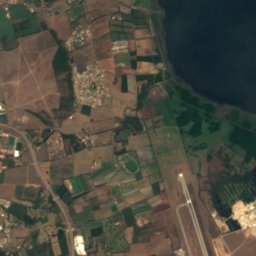
9.8 km W

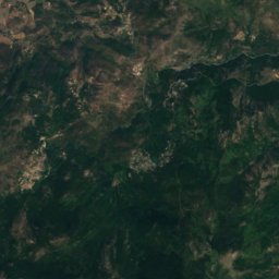
Aliso

River · 3 m
Aliso

Mountains

Satellite: Sentinel-2 cloudless 2016 by EOX IT Services GmbH · CC BY 4.0 · Contains modified Copernicus Sentinel data 2016
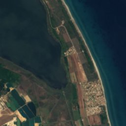
38 km SW

Cima à i Mori

2,180 m
Cima à i Mori
Satellite: Sentinel-2 cloudless 2016 by EOX IT Services GmbH · CC BY 4.0 · Contains modified Copernicus Sentinel data 2016

38 km SW

Dent d'Asco

2,065 m
Dent d'Asco
Monte San Petrone
Photo: Pierre Bona · CC BY-SA 3.0 · Wikimedia CommonsReport this photo · linked, not stored
30 km S

Monte San Petrone

1,766 m
Monte San Petrone

Heritage

Torra di Furiani
Photo: Pierre Bona · CC BY-SA 3.0 · Wikimedia CommonsReport this photo · linked, not stored
under 100 m E

Torra di Furiani

monument historique inscrit
Torra di Furiani
Lucciana Cathedral
Photo: Pierre Bona · CC BY-SA 3.0 · Wikimedia CommonsReport this photo · linked, not stored
15 km SE

Lucciana Cathedral

classified historical monument · 1119
Lucciana Cathedral
Bastia Cathedral
Photo: Clio20 · CC BY-SA 3.0 · Wikimedia CommonsReport this photo · linked, not stored
4.8 km NE

Bastia Cathedral

classified historical monument
Bastia Cathedral

Museums

Bastia museum
Photo: Sailko · CC BY 3.0 · Wikimedia CommonsReport this photo · linked, not stored
5.0 km NE

Bastia museum

2004
Bastia museum
Satellite: Sentinel-2 cloudless 2016 by EOX IT Services GmbH · CC BY 4.0 · Contains modified Copernicus Sentinel data 2016
13 km S

Archeological museum de Mariana - Prince Rainier III de Monaco

Archaeological museum
Archeological museum de Mariana - Prince Rainier III de Monaco