















Skip to content
Destinations
Weather & climate
Nature
Outdoors
Culture
Events
Sky & live
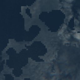
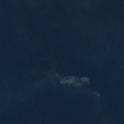
Satellite: Sentinel-2 cloudless 2016 by EOX IT Services GmbH · CC BY 4.0 · Contains modified Copernicus Sentinel data 2016
IslandPlogoff, Brittany

Basse Jaune

IslandBest Jun–Jul · Sep
Elevation–above sea level
Area–surface
Nearest townPlogoff5.5 km
48.08° N, 4.71° WUTC+2 · Central European Summer Time
When to goPlogoff · weather score
JanFebMarAprMayJunJulAugSepOctNovDec53October
Best timeJun–Jul · Sep
October: high / low16° / 12°
Island

Basse Jaune in brief

Basse Jaune is an island in Plogoff, Brittany, France.

The nearest town in the atlas is Plogoff, 5.5 km to the SE, where the weather is best in June, July and September.

Plogoff: weather and travel guide

Weather nearby now

Forecast for Plogoff
14°
Rain now
Wind38 km/h
Humidity88%
Cloud cover100%
Today
22 Oct
17°
12°
11 mm
Fri
23 Oct
15°
11°
11 mm
Sat
24 Oct
17°
12°
7 mm
Sun
25 Oct
17°
12°
6 mm
Mon
26 Oct
17°
12°
4 mm

Model run 00:00 UTCRefreshed several times a day

When to go

The best months around Basse Jaune

Climate of Plogoff

Month score in Plogoff

Comfort, dry days and sunshine · out of 100
20
Jan
21
Feb
29
Mar
50
Apr
61
May
74
Jun
71
Jul
71
Aug
76
Sep
53
Oct
37
Nov
25
Dec
Map

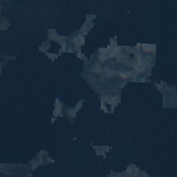
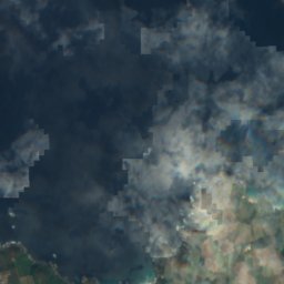
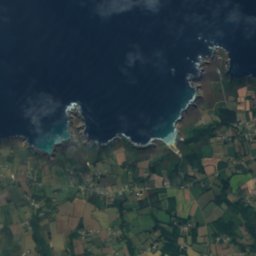
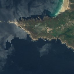
Basse Jaune from above

Nature nearbyAll of France

Satellite: Sentinel-2 cloudless 2016 by EOX IT Services GmbH · CC BY 4.0 · Contains modified Copernicus Sentinel data 2016
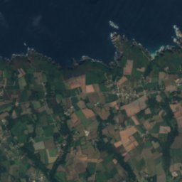
Gorle GreizIsland5.9 kmSWGorle Greiz
Satellite: Sentinel-2 cloudless 2016 by EOX IT Services GmbH · CC BY 4.0 · Contains modified Copernicus Sentinel data 2016
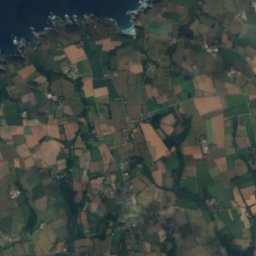
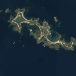
Kornog BrazIsland8.4 kmSWKornog Braz
Satellite: Sentinel-2 cloudless 2016 by EOX IT Services GmbH · CC BY 4.0 · Contains modified Copernicus Sentinel data 2016
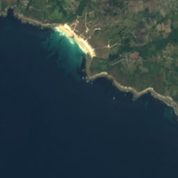
Basses PiriouIsland9.5 kmSEBasses Piriou
Satellite: Sentinel-2 cloudless 2016 by EOX IT Services GmbH · CC BY 4.0 · Contains modified Copernicus Sentinel data 2016
Plassou-NormandIsland9.5 kmSWPlassou-Normand
Satellite: Sentinel-2 cloudless 2016 by EOX IT Services GmbH · CC BY 4.0 · Contains modified Copernicus Sentinel data 2016
Pont des ChatsIsland9.6 kmSWPont des Chats
Satellite: Sentinel-2 cloudless 2016 by EOX IT Services GmbH · CC BY 4.0 · Contains modified Copernicus Sentinel data 2016

An DantogIsland10 kmSWAn Dantog
Stay nearby

Towns close by

Plogoff
Photo: Jean-Pol GRANDMONT · CC BY-SA 4.0 · Wikimedia CommonsReport this photo · linked, not stored

Plogoff

Brittany · 5.5 km SE
16°Oct high
15wet days
53score
Plogoff
Goulien
Photo: GO69 · CC BY-SA 3.0 · Wikimedia CommonsReport this photo · linked, not stored

Goulien

Brittany · 8.8 km E
16°Oct high
15wet days
53score
Goulien
Île-de-Sein
Photo: Carsten Steger · CC BY-SA 4.0 · Wikimedia CommonsReport this photo · linked, not stored

Île-de-Sein

Brittany · 12 km SW
17°Oct high
15wet days
55score
Île-de-Sein
Esquibien
Photo: Vassil · Public domain · Wikimedia CommonsReport this photo · linked, not stored

Esquibien

Brittany · 12 km SE
16°Oct high
15wet days
54score
Esquibien
Around here

Plogoff and around

Plogoff
Photo: Jean-Pol GRANDMONT · CC BY-SA 4.0 · Wikimedia CommonsReport this photo · linked, not stored

Plogoff

Brittany · France
Jun–Jul · Sepbest months
20°July high
60 maltitude
Plogoff

Nature

Goyen
Photo: Unknown author · CC BY-SA 3.0 · Wikimedia CommonsReport this photo · linked, not stored
9.8 km E

Goyen

River
Goyen
Menez-Dregan
Photo: Raphodon · CC BY-SA 3.0 · Wikimedia CommonsReport this photo · linked, not stored
15 km E

Menez-Dregan

Cave
Menez-Dregan
Grotte Sainte-Marine
Photo: Thesupermat · CC BY-SA 2.5 · Wikimedia CommonsReport this photo · linked, not stored
24 km NE

Grotte Sainte-Marine

Cave
Grotte Sainte-Marine

Mountains

Ménez-Hom
Photo: Yc72 · Public domain · Wikimedia CommonsReport this photo · linked, not stored
38 km NE

Ménez-Hom

385 m · Montagnes Noires
Ménez-Hom
Menez Lokorn
Photo: Ludovic Péron · CC BY-SA 3.0 · Wikimedia CommonsReport this photo · linked, not stored
37 km E

Menez Lokorn

289 m · Montagnes Noires
Menez Lokorn

Heritage

Chapelle Saint-Trémeur de Cléden-Cap-Sizun
Photo: Moreau.henri · CC BY-SA 4.0 · Wikimedia CommonsReport this photo · linked, not stored
2.0 km E

Chapelle Saint-Trémeur de Cléden-Cap-Sizun

listed in the general inventory of cultural heritage
Chapelle Saint-Trémeur de Cléden-Cap-Sizun
Tevennec lighthouse
Photo: Calcineur · CC BY-SA 3.0 · Wikimedia CommonsReport this photo · linked, not stored
10 km W

Tevennec lighthouse

monument historique inscrit · 1875
Tevennec lighthouse
Vieille Light
Photo: Carsten Steger · CC BY-SA 4.0 · Wikimedia CommonsReport this photo · linked, not stored
6.7 km W

Vieille Light

monument historique inscrit · 1882
Vieille Light

Museums

Abri du marin de l'île de Sein
Photo: Ji-Elle · CC BY-SA 3.0 · Wikimedia CommonsReport this photo · linked, not stored
14 km W

Abri du marin de l'île de Sein

Abri du marin de l'île de Sein