
























Skip to content
Destinations
Weather & climate
Nature
Outdoors
Culture
Events
Sky & live
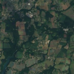
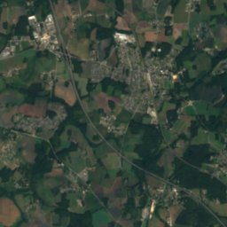
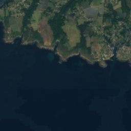
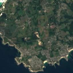
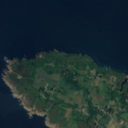
Satellite: Sentinel-2 cloudless 2016 by EOX IT Services GmbH · CC BY 4.0 · Contains modified Copernicus Sentinel data 2016
Fort-Bloqué
Photo: Moreau.henri · CC BY-SA 4.0 · Wikimedia Commons
Fort-BloquéReport this photo · linked, not stored
Fort-Bloqué
Laïta
Photo: Youenn BARBE · CC BY 2.5 · Wikimedia Commons
LaïtaReport this photo · linked, not stored
Laïta
IslandGuidel, Brittany

Basse Blanche

IslandBest Jun · Aug–Sep
Elevation–above sea level
Area–surface
Nearest townGuidel7.3 km
47.72° N, 3.50° WUTC+2 · Central European Summer Time
When to goGuidel · weather score
JanFebMarAprMayJunJulAugSepOctNovDec56October
Best timeJun · Aug–Sep
October: high / low17° / 10°
Island

Basse Blanche in brief

Basse Blanche is an island in Guidel, Brittany, France.

The nearest town in the atlas is Guidel, 7.3 km to the N, where the weather is best in June, August and September.

Guidel: weather and travel guide

Weather nearby now

Forecast for Guidel
14°
Rain now
Wind29 km/h
Humidity88%
Cloud cover100%
Today
22 Oct
16°
11°
18 mm
Fri
23 Oct
16°
10°
8 mm
Sat
24 Oct
16°
10°
6 mm
Sun
25 Oct
17°
10°
4 mm
Mon
26 Oct
17°
11°
5 mm

Model run 00:00 UTCRefreshed several times a day

When to go

The best months around Basse Blanche

Climate of Guidel

Month score in Guidel

Comfort, dry days and sunshine · out of 100
Map

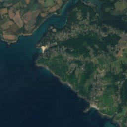
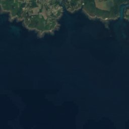
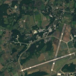
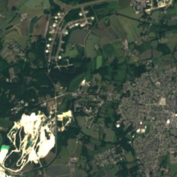
Basse Blanche from above

Nature nearbyAll of France
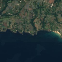
Satellite: Sentinel-2 cloudless 2016 by EOX IT Services GmbH · CC BY 4.0 · Contains modified Copernicus Sentinel data 2016
Grand CochonIsland1.2 kmSWGrand Cochon
Photo: Moreau.henri · CC BY-SA 4.0 · Wikimedia CommonsReport this photo · linked, not stored
Fort-BloquéIsland1.3 kmNFort-Bloqué
Photo: Youenn BARBE · CC BY 2.5 · Wikimedia CommonsReport this photo · linked, not stored
LaïtaRiver5.2 kmNWLaïta
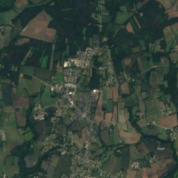
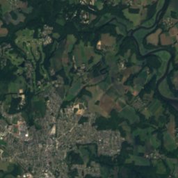
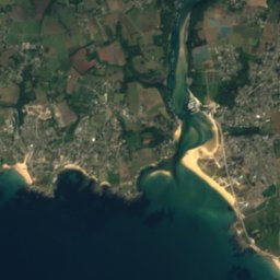
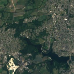
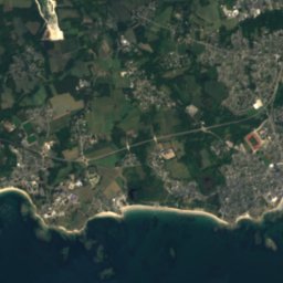
Satellite: Sentinel-2 cloudless 2016 by EOX IT Services GmbH · CC BY 4.0 · Contains modified Copernicus Sentinel data 2016
Basse des Chats, Larmor-PlageIsland6.0 kmSEBasse des Chats, Larmor-Plage
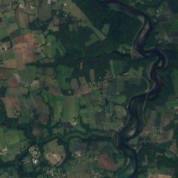
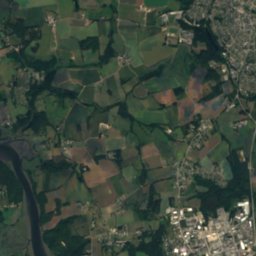
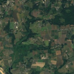
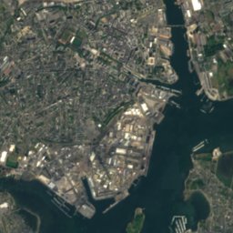
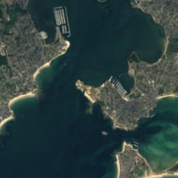
Satellite: Sentinel-2 cloudless 2016 by EOX IT Services GmbH · CC BY 4.0 · Contains modified Copernicus Sentinel data 2016
Basse des BretonsIsland6.1 kmSBasse des Bretons
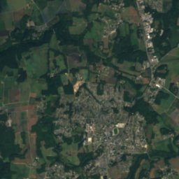
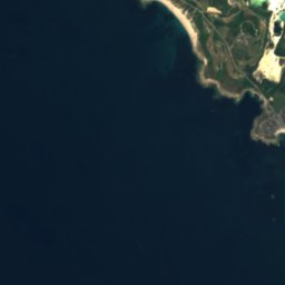
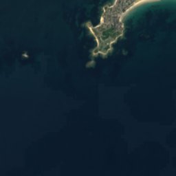
Satellite: Sentinel-2 cloudless 2016 by EOX IT Services GmbH · CC BY 4.0 · Contains modified Copernicus Sentinel data 2016
Basse Saint-ModéIsland6.8 kmNWBasse Saint-Modé
Stay nearby

Towns close by

Guidel
Photo: Manou56 · CC BY-SA 3.0 · Wikimedia CommonsReport this photo · linked, not stored

Guidel

Brittany · 7.3 km N
17°Oct high
14wet days
56score
Guidel
Larmor-Plage
Photo: Jack Mamelet · CC BY-SA 3.0 · Wikimedia CommonsReport this photo · linked, not stored

Larmor-Plage

Brittany · 8.9 km E
17°Oct high
14wet days
57score
Larmor-Plage
Gestel
Photo: Bruno Corpet (Quoique) · CC BY-SA 3.0 · Wikimedia CommonsReport this photo · linked, not stored

Gestel

Brittany · 9.8 km NE
17°Oct high
14wet days
56score
Gestel
Lorient
Photo: NORMOTE · CC BY-SA 4.0 · Wikimedia CommonsReport this photo · linked, not stored

Lorient

Brittany · 10 km E
17°Oct high
14wet days
57score
Lorient
Around here

Guidel and around

Guidel
Photo: Manou56 · CC BY-SA 3.0 · Wikimedia CommonsReport this photo · linked, not stored

Guidel

Brittany · France
Jun · Aug–Sepbest months
22°July high
48 maltitude
Guidel

Nature

Scorff
Photo: Personnel · CC BY-SA 3.0 · Wikimedia CommonsReport this photo · linked, not stored
12 km SE

Scorff

River
Scorff
Ellé
Photo: Lanzonnet · CC BY-SA 3.0 · Wikimedia CommonsReport this photo · linked, not stored
10 km NW

Ellé

River · 11 m
Ellé
Laïta
Photo: Youenn BARBE · CC BY 2.5 · Wikimedia CommonsReport this photo · linked, not stored
4.7 km SW

Laïta

River
Laïta

Heritage

Beg-Nénez tide mill
Photo: Supergranpa · CC BY-SA 4.0 · Wikimedia CommonsReport this photo · linked, not stored
2.8 km W

Beg-Nénez tide mill

listed in the general inventory of cultural heritage
Beg-Nénez tide mill
Satellite: Sentinel-2 cloudless 2016 by EOX IT Services GmbH · CC BY 4.0 · Contains modified Copernicus Sentinel data 2016
1.8 km NW

Château de Kerbastic

listed in the general inventory of cultural heritage
Château de Kerbastic
Stade du Moustoir
Photo: NORMOTE · CC BY-SA 4.0 · Wikimedia CommonsReport this photo · linked, not stored
9.8 km SE

Stade du Moustoir

listed in the general inventory of cultural heritage · 1959
Stade du Moustoir

Museums

Musée de la Compagnie des Indes
Photo: Ji-Elle · CC BY-SA 3.0 · Wikimedia CommonsReport this photo · linked, not stored
13 km SE

Musée de la Compagnie des Indes

Musée de la Compagnie des Indes
Navy museum, Port-Louis
Photo: Ji-Elle · CC BY-SA 3.0 · Wikimedia CommonsReport this photo · linked, not stored
13 km SE

Navy museum, Port-Louis

Maritime museum
Navy museum, Port-Louis
Cité de la voile Éric Tabarly
Photo: Pline · CC BY-SA 3.0 · Wikimedia CommonsReport this photo · linked, not stored
11 km SE

Cité de la voile Éric Tabarly

Cité de la voile Éric Tabarly