
Photo: Paternel 1 · CC BY-SA 3.0 · Wikimedia Commons
BarguelonnetteReport this photo · linked, not stored
BarguelonnetteReport this photo · linked, not stored
 Lemboulas
 Lupte

Photo: Martespi · Public domain · Wikimedia Commons
Tuque de RobertReport this photo · linked, not stored
Tuque de RobertTuque de RobertReport this photo · linked, not stored
RiverMontesquieu, Occitanie
Barguelonnette
RiverBest Apr · Sep–Oct
Elevation–above sea level
Length35 kmsource to mouth
Nearest townMontesquieu0.6 km
44.20° N, 1.05° EUTC+2 · Central European Summer Time
When to goMontesquieu · weather score
Best timeApr · Sep–Oct
October: high / low20° / 10°
River
Barguelonnette in brief
Barguelonnette is a river in Montesquieu, Occitanie, France.
The nearest town in the atlas is Montesquieu, 0.6 km to the SE, where the weather is best in April, September and October.
Barguelonnette is 35 km long.
Weather nearby now
Forecast for Montesquieu15°
Cloudy now
Today
22 Oct
17°
8°
Fri
23 Oct
17°
10°
3 mm
Sat
24 Oct
17°
9°
1 mm
Sun
25 Oct
19°
10°
2 mm
Mon
26 Oct
22°
14°
1 mm
Model run 00:00 UTCRefreshed several times a day
The course of the river
As mapped in OpenStreetMap, with the towns of the atlas along its banks.- 1Bouloc-en-Quercy252 m
- 2Sainte-Juliette168 m
- 3Lauzerte214 m
- 4Saint-Amans-de-Pellagal206 m
- 5Montagudet213 m
- 6Miramont-de-Quercy195 m
- 7Montesquieu111 m
sourcemouth (or where the mapped line leaves the country)
When to go
Climate of MontesquieuThe best months around Barguelonnette
Month score in Montesquieu
Comfort, dry days and sunshine · out of 10022
Jan
40
Feb
56
Mar
70
Apr
66
May
68
Jun
65
Jul
62
Aug
79
Sep
71
Oct
43
Nov
27
Dec
Map
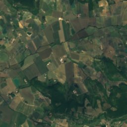
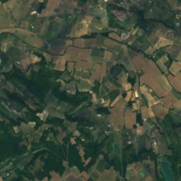
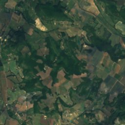
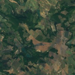
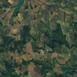
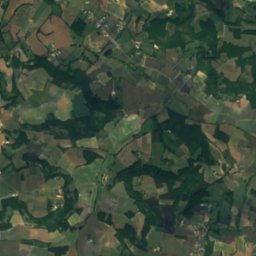
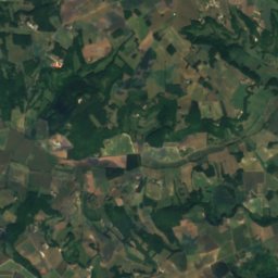
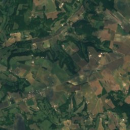
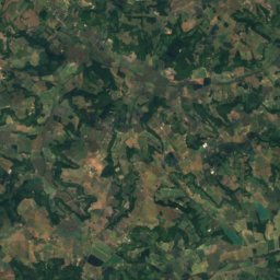
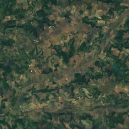
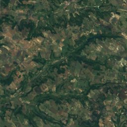
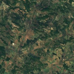
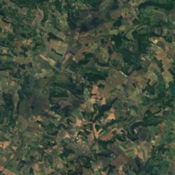
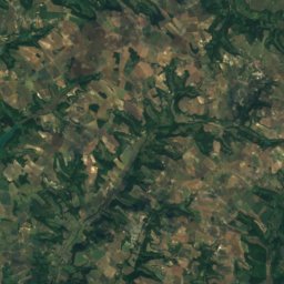
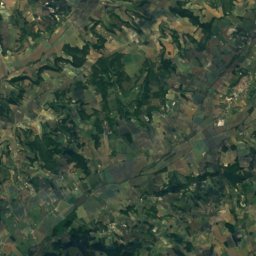
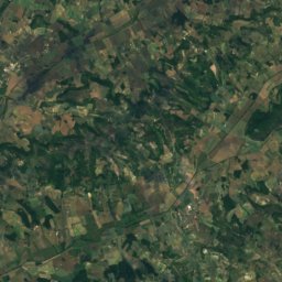
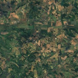
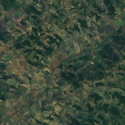
Barguelonnette from above
Nature nearbyAll of France
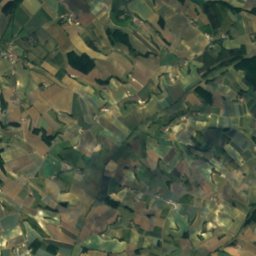
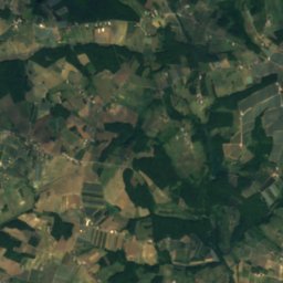
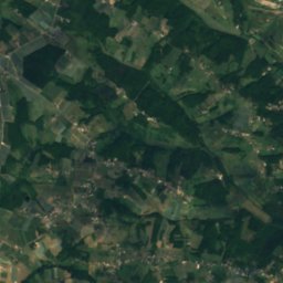
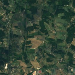
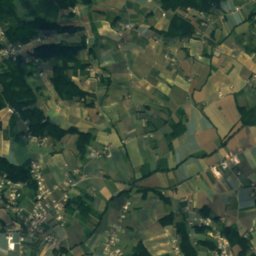
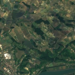
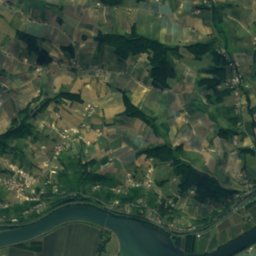
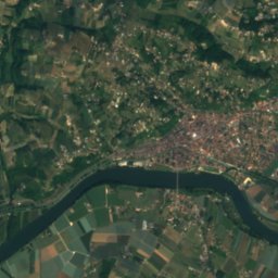
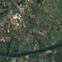
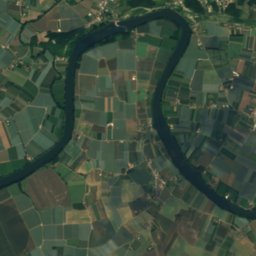
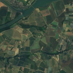
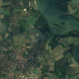
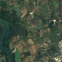
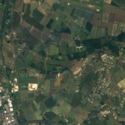
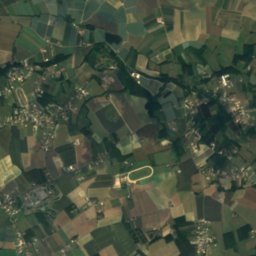
Satellite: Sentinel-2 cloudless 2016 by EOX IT Services GmbH · CC BY 4.0 · Contains modified Copernicus Sentinel data 2016

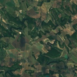
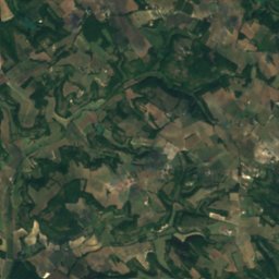
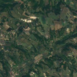
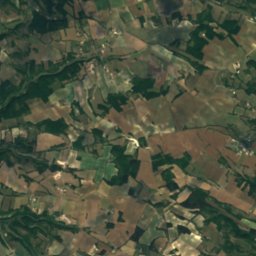
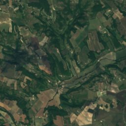
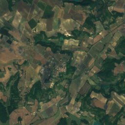
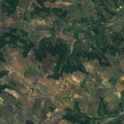
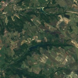
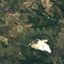
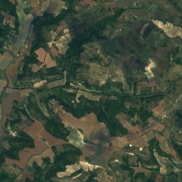
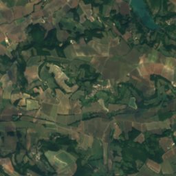
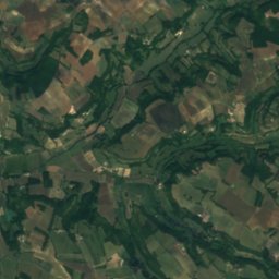
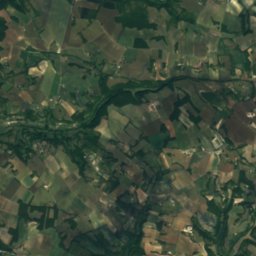
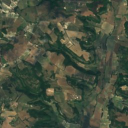
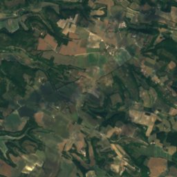
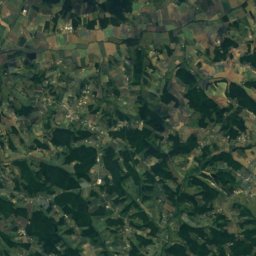
Satellite: Sentinel-2 cloudless 2016 by EOX IT Services GmbH · CC BY 4.0 · Contains modified Copernicus Sentinel data 2016
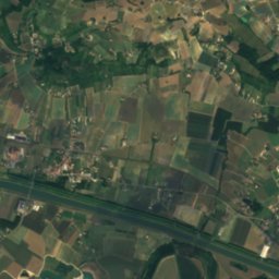
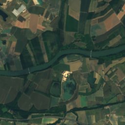
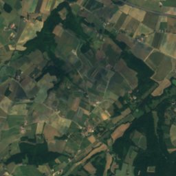
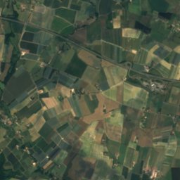
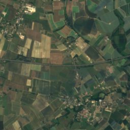
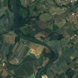
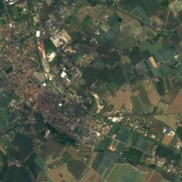
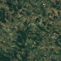
Satellite: Sentinel-2 cloudless 2016 by EOX IT Services GmbH · CC BY 4.0 · Contains modified Copernicus Sentinel data 2016

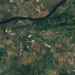
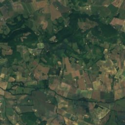
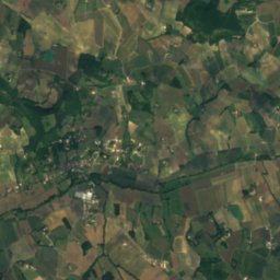
Summits nearbyMountains of France

Stay nearby
Towns close by

Photo: WCOMFR Mireille GRUMBERG · CC BY-SA 4.0 · Wikimedia CommonsReport this photo · linked, not stored
Montesquieu
Occitanie · 0.6 km SE
20°Oct high
11wet days
71score
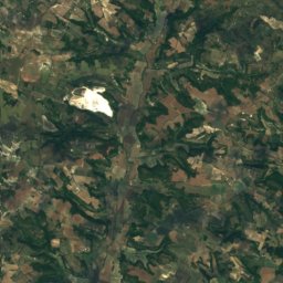
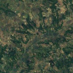
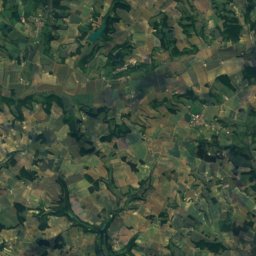
Satellite: Sentinel-2 cloudless 2016 by EOX IT Services GmbH · CC BY 4.0 · Contains modified Copernicus Sentinel data 2016
Miramont-de-Quercy
Occitanie · 3.5 km N
20°Oct high
11wet days
71score

Saint-Nazaire-de-Valentane
Occitanie · 4.2 km NW
20°Oct high
11wet days
71score

Around here
Montesquieu and around
Photo: WCOMFR Mireille GRUMBERG · CC BY-SA 4.0 · Wikimedia CommonsReport this photo · linked, not stored
Montesquieu
Occitanie · France
Apr · Sep–Octbest months
29°July high
111 maltitude
Nature


Mountains
Heritage


église Saint-Martin de Saint-Maurin
classified historical monument
Museums
Satellite: Sentinel-2 cloudless 2016 by EOX IT Services GmbH · CC BY 4.0 · Contains modified Copernicus Sentinel data 2016
Musée des arts et traditions populaires Marguerite-Vidal


Satellite: Sentinel-2 cloudless 2016 by EOX IT Services GmbH · CC BY 4.0 · Contains modified Copernicus Sentinel data 2016