Skip to content
Destinations
Weather & climate
Nature
Outdoors
Culture
Events
Sky & live
Authie
Photo: JackyM59 · CC BY 4.0 · Wikimedia Commons
AuthieReport this photo · linked, not stored
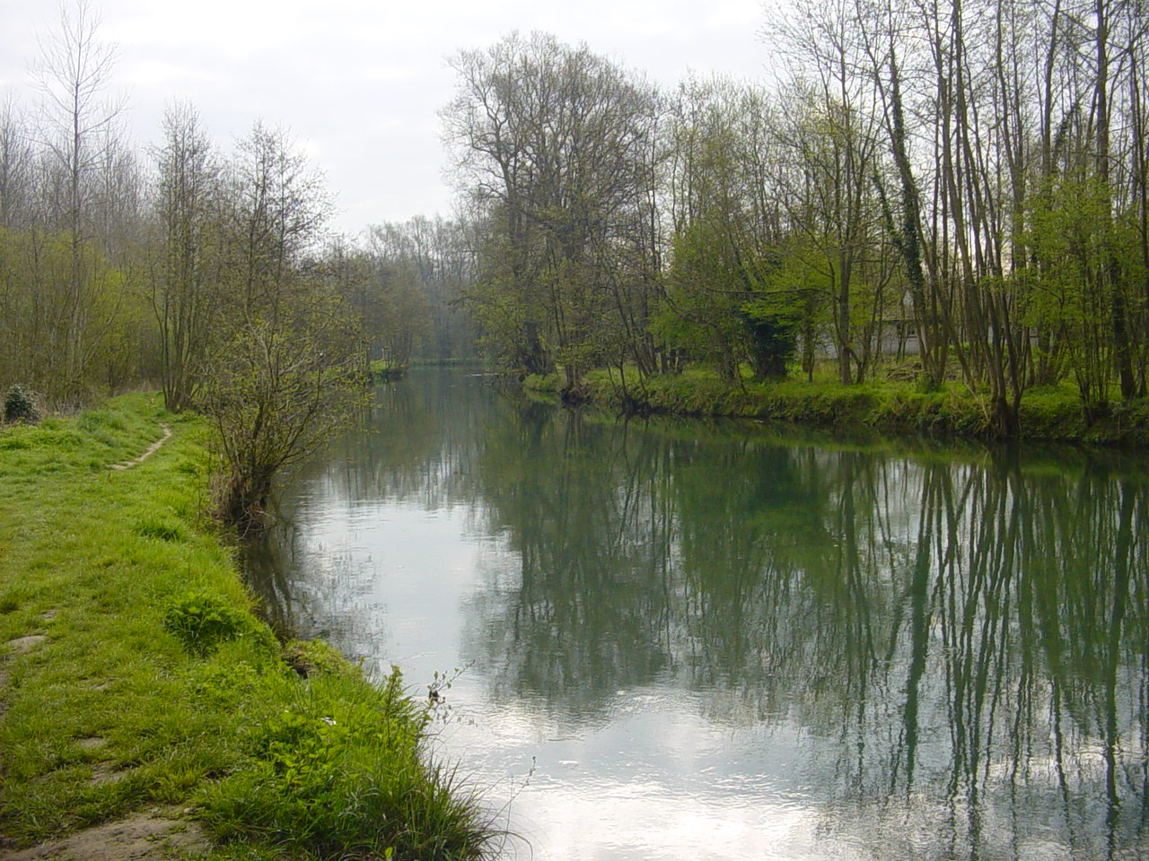
Dordogne, Hauts-de-France
Photo: Jacques Rocquet · CC BY-SA 4.0 · Wikimedia Commons
Dordogne, Hauts-de-FranceReport this photo · linked, not stored
Dordogne, Hauts-de-France
Canche, Hauts-de-France
Photo: Unknown author · CC BY-SA 3.0 · Wikimedia Commons
Canche, Hauts-de-FranceReport this photo · linked, not stored
Canche, Hauts-de-France
Maye
Photo: JackyM59 · CC BY-SA 4.0 · Wikimedia Commons
MayeReport this photo · linked, not stored
Maye
Mont Saint-Frieux
Photo: Romain Debailleul · CC BY-SA 1.0 · Wikimedia Commons
Mont Saint-FrieuxReport this photo · linked, not stored
Mont Saint-Frieux
RiverGroffliers, Hauts-de-France

Authie

RiverBest Jun–Jul · Sep
Elevation–above sea level
Length108 kmsource to mouth
Nearest townGroffliers3.9 km
50.39° N, 1.56° EUTC+2 · Central European Summer Time
When to goGroffliers · weather score
JanFebMarAprMayJunJulAugSepOctNovDec49October
Best timeJun–Jul · Sep
October: high / low16° / 9°
River

Authie in brief

Authie is a river in Groffliers, Hauts-de-France, France.

The nearest town in the atlas is Groffliers, 3.9 km to the E, where the weather is best in June, July and September.

Authie is 108 km long.

Groffliers: weather and travel guide

Weather nearby now

Forecast for Groffliers
15°
Partly cloudy now
Wind26 km/h
Humidity60%
Cloud cover23%
Today
22 Oct
16°
11°
18 mm
Fri
23 Oct
15°
10°
22 mm
Sat
24 Oct
15°
10°
17 mm
Sun
25 Oct
17°
13°
15 mm
Mon
26 Oct
17°
10°
9 mm

Model run 00:00 UTCRefreshed several times a day

The course of the river

As mapped in OpenStreetMap, with the towns of the atlas along its banks.
1234567891011121314
  1. 1Sarton76 m
  2. 2Orville71 m
  3. 3Amplier66 m
  4. 4Authieule61 m
  5. 5Doullens60 m
  6. 6Gézaincourt68 m
  7. 7Hem-Hardinval53 m
  8. 8Auxi-le-Château32 m
  9. 9Dompierre-sur-Authie19 m
  10. 10Douriez14 m
  11. 11Saulchoy11 m
  12. 12Argoules21 m
  13. 13Lépine49 m
  14. 14Groffliers7 m
sourcemouth (or where the mapped line leaves the country)
When to go

The best months around Authie

Climate of Groffliers

Month score in Groffliers

Comfort, dry days and sunshine · out of 100
17
Jan
20
Feb
28
Mar
51
Apr
63
May
71
Jun
67
Jul
67
Aug
70
Sep
49
Oct
23
Nov
16
Dec
Map

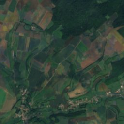
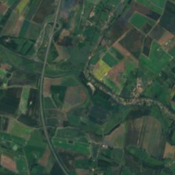
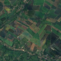
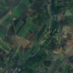
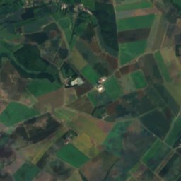
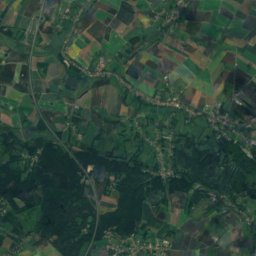
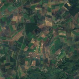
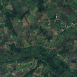
Authie from above

Nature nearbyAll of France

Satellite: Sentinel-2 cloudless 2016 by EOX IT Services GmbH · CC BY 4.0 · Contains modified Copernicus Sentinel data 2016
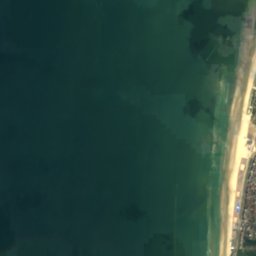
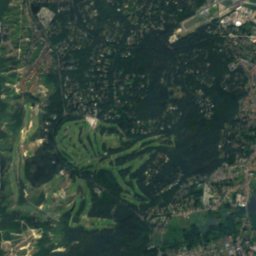
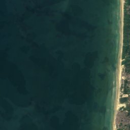
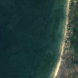
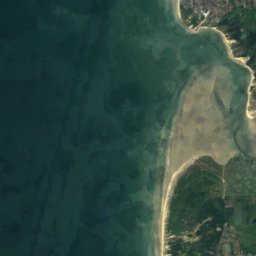
plage du Touquet-Paris-PlageBeach13 kmNplage du Touquet-Paris-Plage
Photo: Jacques Rocquet · CC BY-SA 4.0 · Wikimedia CommonsReport this photo · linked, not stored
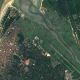
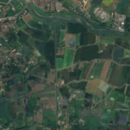
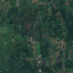
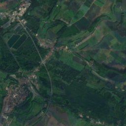
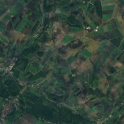
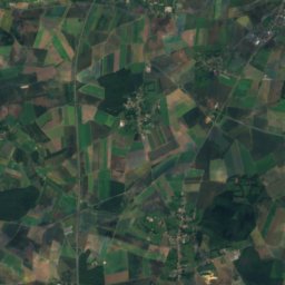
Dordogne, Hauts-de-FranceRiver16 kmNEDordogne, Hauts-de-France
Satellite: Sentinel-2 cloudless 2016 by EOX IT Services GmbH · CC BY 4.0 · Contains modified Copernicus Sentinel data 2016
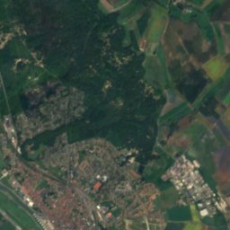
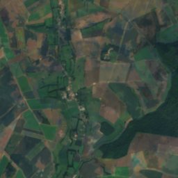
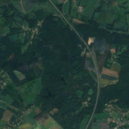
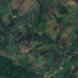
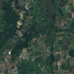
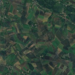
CourseRiver17 kmNECourse
Photo: Unknown author · CC BY-SA 3.0 · Wikimedia CommonsReport this photo · linked, not stored
Canche, Hauts-de-FranceRiver17 kmNCanche, Hauts-de-France
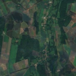
Satellite: Sentinel-2 cloudless 2016 by EOX IT Services GmbH · CC BY 4.0 · Contains modified Copernicus Sentinel data 2016
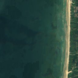
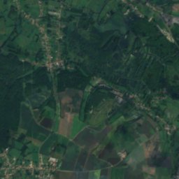
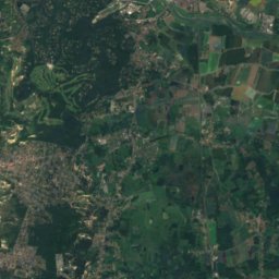
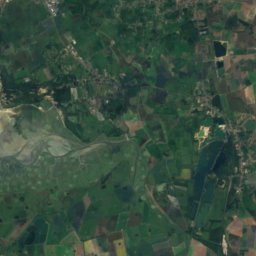
Bassure de BaasIsland17 kmWBassure de Baas
Photo: JackyM59 · CC BY-SA 4.0 · Wikimedia CommonsReport this photo · linked, not stored
MayeRiver19 kmSMaye
Summits nearbyMountains of France
Photo: Romain Debailleul · CC BY-SA 1.0 · Wikimedia CommonsReport this photo · linked, not stored
Mont Saint-Frieux25 km N152 mJuly 21°Mont Saint-Frieux
Stay nearby

Towns close by

Groffliers
Photo: JackyM59 · CC BY-SA 4.0 · Wikimedia CommonsReport this photo · linked, not stored

Groffliers

Hauts-de-France · 3.9 km E
16°Oct high
15wet days
49score
Groffliers
Fort-Mahon-Plage
Photo: JackyM59 · CC BY-SA 4.0 · Wikimedia CommonsReport this photo · linked, not stored

Fort-Mahon-Plage

Hauts-de-France · 5.8 km S
16°Oct high
15wet days
49score
Fort-Mahon-Plage
Satellite: Sentinel-2 cloudless 2016 by EOX IT Services GmbH · CC BY 4.0 · Contains modified Copernicus Sentinel data 2016

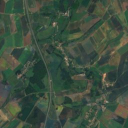
Verton

Hauts-de-France · 6.3 km E
16°Oct high
15wet days
49score
Verton
Rang-du-Fliers
Photo: Daniel Piton · CC BY-SA 3.0 · Wikimedia CommonsReport this photo · linked, not stored

Rang-du-Fliers

Hauts-de-France · 6.5 km NE
16°Oct high
15wet days
49score
Rang-du-Fliers
Around here

Groffliers and around

Groffliers
Photo: JackyM59 · CC BY-SA 4.0 · Wikimedia CommonsReport this photo · linked, not stored

Groffliers

Hauts-de-France · France
Jun–Jul · Sepbest months
22°July high
7 maltitude
Groffliers

Nature

River Somme
Photo: Donarreiskoffer at the English Wikipedia · CC BY-SA 3.0 · Wikimedia CommonsReport this photo · linked, not stored
20 km SW

River Somme

River
River Somme
Canche, Hauts-de-France
Photo: Unknown author · CC BY-SA 3.0 · Wikimedia CommonsReport this photo · linked, not stored
17 km N

Canche, Hauts-de-France

River
Canche, Hauts-de-France
Créquoise
Photo: This illustration was made by (User:Royonx) and released under the license(s) st · CC BY-SA 3.0 · Wikimedia CommonsReport this photo · linked, not stored
21 km E

Créquoise

River
Créquoise

Mountains

Mont Hulin
Photo: Martin Zeiller. Pour le versement, les modifications ː G.Garitan. · Public domain · Wikimedia CommonsReport this photo · linked, not stored
36 km NE

Mont Hulin

203 m
Mont Hulin
Mont Lambert
Photo: Bateloupreaut · CC BY-SA 4.0 · Wikimedia CommonsReport this photo · linked, not stored
37 km N

Mont Lambert

189 m
Mont Lambert
Mont Saint-Frieux
Photo: Romain Debailleul · CC BY-SA 1.0 · Wikimedia CommonsReport this photo · linked, not stored
25 km N

Mont Saint-Frieux

152 m
Mont Saint-Frieux

Heritage

Phare de Berck
Photo: JackyM59 · CC BY-SA 4.0 · Wikimedia CommonsReport this photo · linked, not stored
4.1 km W

Phare de Berck

monument historique inscrit · 1950
Phare de Berck
Chapelle du Saint-Esprit de Rue
Photo: JackyM59 · CC BY-SA 4.0 · Wikimedia CommonsReport this photo · linked, not stored
13 km S

Chapelle du Saint-Esprit de Rue

classified historical monument · 1450
Chapelle du Saint-Esprit de Rue
Villa Nirvana
Photo: JBCousin · CC BY-SA 3.0 · Wikimedia CommonsReport this photo · linked, not stored
15 km N

Villa Nirvana

monument historique inscrit
Villa Nirvana

Museums

Musée du Touquet-Paris-Plage
Photo: Ltqphg · CC BY-SA 4.0 · Wikimedia CommonsReport this photo · linked, not stored
15 km N

Musée du Touquet-Paris-Plage

Musée du Touquet-Paris-Plage
Musée de France Roger Rodière
Photo: Tolliarg · Public domain · Wikimedia CommonsReport this photo · linked, not stored
14 km NE

Musée de France Roger Rodière

Musée de France Roger Rodière
Musée de France d'Opale-Sud
Photo: Netcar · CC BY-SA 3.0 · Wikimedia CommonsReport this photo · linked, not stored
4.0 km NW

Musée de France d'Opale-Sud

Musée de France d'Opale-Sud