Skip to content
Destinations
Weather & climate
Nature
Outdoors
Culture
Events
Sky & live
Aran
Photo: Iñaki LL · CC BY-SA 4.0 · Wikimedia Commons
AranReport this photo · linked, not stored
Nive des Aldudes
Photo: Harrieta171 · CC BY 2.5 · Wikimedia Commons
Nive des AldudesReport this photo · linked, not stored
Nive des Aldudes
Isturitz and Oxocelhaya caves
Photo: Michel Bakni · CC BY 4.0 · Wikimedia Commons
Isturitz and Oxocelhaya cavesReport this photo · linked, not stored
Isturitz and Oxocelhaya caves
Harpeko Saindua
Photo: Kvardek du · CC BY-SA 3.0 · Wikimedia Commons
Harpeko SainduaReport this photo · linked, not stored
Harpeko Saindua
Hauza
Photo: Xirkan · CC BY-SA 3.0 · Wikimedia Commons
HauzaReport this photo · linked, not stored
Hauza
RiverMacaye, New Aquitaine

Aran

RiverBest Jul–Sep
Elevation–above sea level
Length48 kmsource to mouth
Nearest townMacaye5.0 km
43.30° N, 1.28° WUTC+2 · Central European Summer Time
When to goMacaye · weather score
JanFebMarAprMayJunJulAugSepOctNovDec67October
Best timeJul–Sep
October: high / low20° / 10°
River

Aran in brief

Aran is a river in Macaye, New Aquitaine, France — river in the Basque Country.

The nearest town in the atlas is Macaye, 5.0 km to the NW, where the weather is best in July, August and September.

Aran is 48 km long.

Macaye: weather and travel guide

Weather nearby now

Forecast for Macaye
18°
Cloudy now
Wind3 km/h
Humidity52%
Cloud cover91%
Today
22 Oct
19°
4°
Fri
23 Oct
18°
10°
7 mm
Sat
24 Oct
18°
9°
2 mm
Sun
25 Oct
20°
6°
Mon
26 Oct
22°
8°

Model run 00:00 UTCRefreshed several times a day

The course of the river

As mapped in OpenStreetMap, with the towns of the atlas along its banks.
sourcemouth (or where the mapped line leaves the country)
When to go

The best months around Aran

Climate of Macaye

Month score in Macaye

Comfort, dry days and sunshine · out of 100
25
Jan
32
Feb
45
Mar
54
Apr
61
May
70
Jun
74
Jul
71
Aug
73
Sep
67
Oct
42
Nov
30
Dec
Map

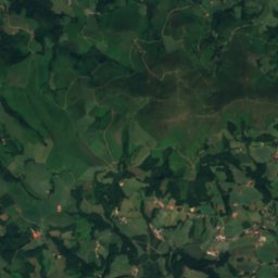
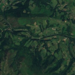
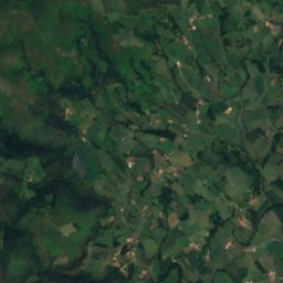
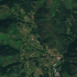
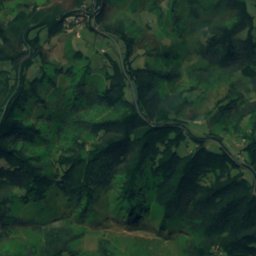
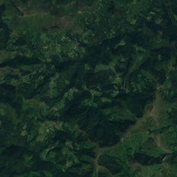
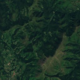
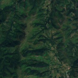
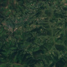
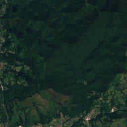
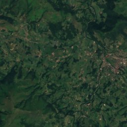
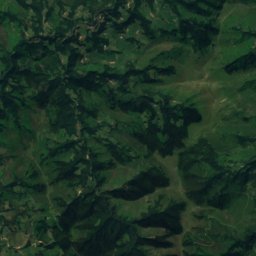
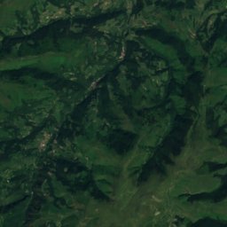
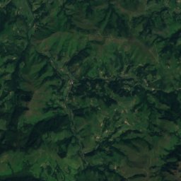
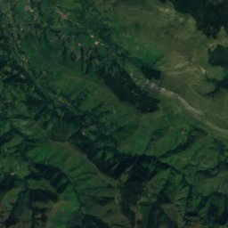
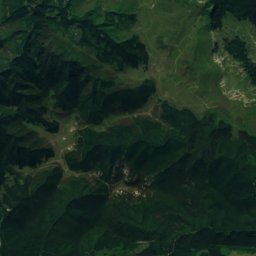
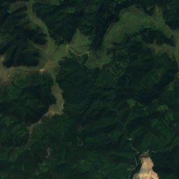
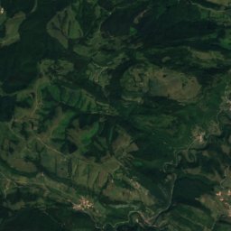
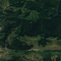
Aran from above

Nature nearbyAll of France
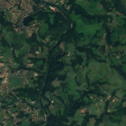
Satellite: Sentinel-2 cloudless 2016 by EOX IT Services GmbH · CC BY 4.0 · Contains modified Copernicus Sentinel data 2016
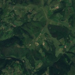
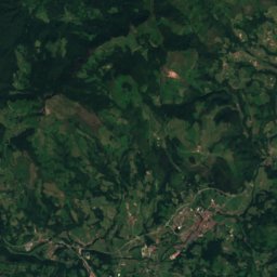
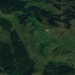
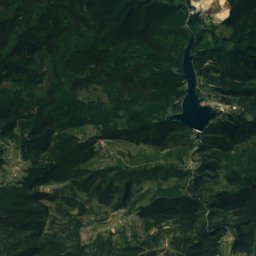
La MoulineRiver1.2 kmNLa Mouline
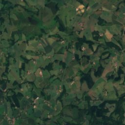
Satellite: Sentinel-2 cloudless 2016 by EOX IT Services GmbH · CC BY 4.0 · Contains modified Copernicus Sentinel data 2016
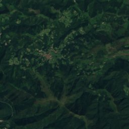
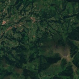
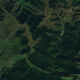
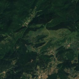
Unikoté CaveCave6.1 kmEUnikoté Cave
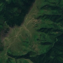
Satellite: Sentinel-2 cloudless 2016 by EOX IT Services GmbH · CC BY 4.0 · Contains modified Copernicus Sentinel data 2016
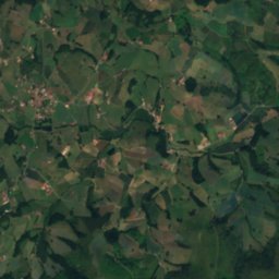
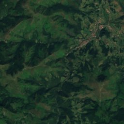
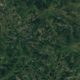
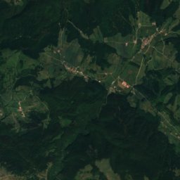
Lakako errekaRiver6.8 kmSLakako erreka
Photo: Harrieta171 · CC BY 2.5 · Wikimedia CommonsReport this photo · linked, not stored
Nive des AldudesRiver7.8 kmSNive des Aldudes
Photo: Michel Bakni · CC BY 4.0 · Wikimedia CommonsReport this photo · linked, not stored
Isturitz and Oxocelhaya cavesCave8.9 kmNEIsturitz and Oxocelhaya caves
Photo: Kvardek du · CC BY-SA 3.0 · Wikimedia CommonsReport this photo · linked, not stored
Harpeko SainduaCave9.3 kmSWHarpeko Saindua
Summits nearbyMountains of France
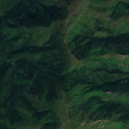
Satellite: Sentinel-2 cloudless 2016 by EOX IT Services GmbH · CC BY 4.0 · Contains modified Copernicus Sentinel data 2016
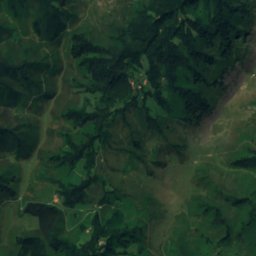
Monte Autza19 km SW1,304 mJuly 20°Monte Autza
Photo: Xirkan · CC BY-SA 3.0 · Wikimedia CommonsReport this photo · linked, not stored
Hauza20 km SW1,304 mJuly 20°Hauza
Satellite: Sentinel-2 cloudless 2016 by EOX IT Services GmbH · CC BY 4.0 · Contains modified Copernicus Sentinel data 2016
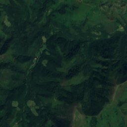
Redoute de Château-Pignon24 km S1,181 mJuly 21°Redoute de Château-Pignon
Satellite: Sentinel-2 cloudless 2016 by EOX IT Services GmbH · CC BY 4.0 · Contains modified Copernicus Sentinel data 2016
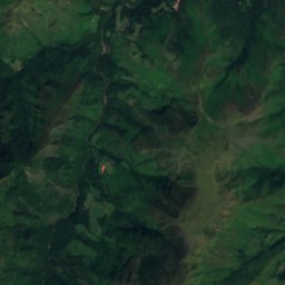
Beillurti24 km S1,117 mJuly 21°Beillurti
Photo: Harrieta171 · CC BY 2.5 · Wikimedia CommonsReport this photo · linked, not stored
Iparla11 km SW1,049 mJuly 22°Iparla
Satellite: Sentinel-2 cloudless 2016 by EOX IT Services GmbH · CC BY 4.0 · Contains modified Copernicus Sentinel data 2016
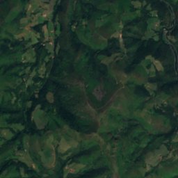
Mendimocha21 km S1,039 mJuly 22°Mendimocha
Stay nearby

Towns close by

Macaye
Photo: Harrieta171 · CC BY-SA 3.0 · Wikimedia CommonsReport this photo · linked, not stored

Macaye

New Aquitaine · 5.0 km NW
20°Oct high
12wet days
67score
Macaye
Mendionde
Photo: Harrieta171 · CC BY-SA 3.0 · Wikimedia CommonsReport this photo · linked, not stored

Mendionde

New Aquitaine · 5.0 km N
21°Oct high
12wet days
68score
Mendionde
Bidarray
Photo: Kvardek du · CC BY-SA 3.0 · Wikimedia CommonsReport this photo · linked, not stored

Bidarray

New Aquitaine · 5.9 km SW
21°Oct high
12wet days
67score
Bidarray
Louhossoa
Photo: Harrieta171 · CC BY 2.5 · Wikimedia CommonsReport this photo · linked, not stored

Louhossoa

New Aquitaine · 6.0 km W
21°Oct high
12wet days
68score
Louhossoa
Around here

Macaye and around

Macaye
Photo: Harrieta171 · CC BY-SA 3.0 · Wikimedia CommonsReport this photo · linked, not stored

Macaye

New Aquitaine · France
Jul–Sepbest months
25°July high
247 maltitude
Macaye

Nature

Isturitz and Oxocelhaya caves
Photo: Michel Bakni · CC BY 4.0 · Wikimedia CommonsReport this photo · linked, not stored
9.2 km E

Isturitz and Oxocelhaya caves

Cave
Isturitz and Oxocelhaya caves
Ardanabia
Photo: Kvardek du · CC BY-SA 3.0 · Wikimedia CommonsReport this photo · linked, not stored
6.3 km NW

Ardanabia

River · 1 m
Ardanabia
Nive des Aldudes
Photo: Harrieta171 · CC BY 2.5 · Wikimedia CommonsReport this photo · linked, not stored
12 km S

Nive des Aldudes

River
Nive des Aldudes

Mountains

Satellite: Sentinel-2 cloudless 2016 by EOX IT Services GmbH · CC BY 4.0 · Contains modified Copernicus Sentinel data 2016
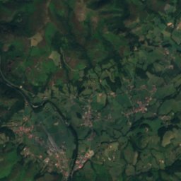
35 km S

Orzanzurieta

1,567 m · Ortzanzurieta mountain range
Orzanzurieta
Mount Okabe
Photo: Asp. · Public domain · Wikimedia CommonsReport this photo · linked, not stored
38 km SE

Mount Okabe

1,466 m · Okabe mountain range
Mount Okabe
Adi
Photo: Uranzu · CC BY-SA 4.0 · Wikimedia CommonsReport this photo · linked, not stored
36 km S

Adi

1,458 m · Adi mountain range
Adi

Heritage

Villa Arnaga
Photo: Gentil Hibou · CC BY-SA 3.0 · Wikimedia CommonsReport this photo · linked, not stored
9.3 km NW

Villa Arnaga

classified historical monument · 1906
Villa Arnaga
Séminaire de Larressore
Photo: Asp. · CC BY-SA 3.0 · Wikimedia CommonsReport this photo · linked, not stored
10 km NW

Séminaire de Larressore

monument historique inscrit · 1733
Séminaire de Larressore
Église Saint-Vincent-diacre, Ustaritz
Photo: Ad Vitam · CC BY-SA 3.0 · Wikimedia CommonsReport this photo · linked, not stored
13 km NW

Église Saint-Vincent-diacre, Ustaritz

monument historique inscrit
Église Saint-Vincent-diacre, Ustaritz

Museums

Edmond Rostand Museum
Photo: Calips · CC BY-SA 3.0 · Wikimedia CommonsReport this photo · linked, not stored
9.3 km NW

Edmond Rostand Museum

1958
Edmond Rostand Museum
Satellite: Sentinel-2 cloudless 2016 by EOX IT Services GmbH · CC BY 4.0 · Contains modified Copernicus Sentinel data 2016
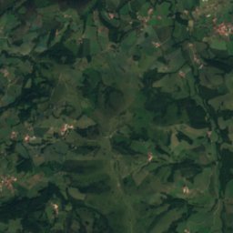
5.8 km N

Maison Eyhartzea

Maison Eyhartzea