

Photo: Unknown author · CC BY-SA 3.0 · Wikimedia Commons
VerdoubleReport this photo · linked, not stored
VerdoubleVerdoubleReport this photo · linked, not stored
 Boulès
 Mont Tauch

Photo: Claudefà · CC BY-SA 4.0 · Wikimedia Commons
Montoliu de PerellósReport this photo · linked, not stored
Montoliu de PerellósMontoliu de PerellósReport this photo · linked, not stored
CaveVingrau, Occitanie
Arago cave
Cave350 m elevationBest Apr · Jun · Sep
Elevation350 mabove sea level
Inside14°Call year
Nearest townVingrau2.1 km
42.84° N, 2.75° EElevation 350 mUTC+2 · Central European Summer Time
When to goVingrau · weather score
Best timeApr · Jun · Sep
October: high / low20° / 12°
Cave
Arago cave in brief
Arago cave is a cave in Vingrau, Occitanie, France.
It lies at 350 m above sea level.
The nearest town in the atlas is Vingrau, 2.1 km to the NE, where the weather is best in April, June and September.
Inside, a cave stays close to the average yearly air temperature outside: about 14°C all year.
Weather nearby now
Forecast for Vingrau17°
Cloudy now
Today
22 Oct
18°
8°
Fri
23 Oct
19°
12°
Sat
24 Oct
18°
11°
Sun
25 Oct
22°
10°
Mon
26 Oct
24°
15°
Model run 00:00 UTCRefreshed several times a day
When to go
Climate of VingrauThe best months around Arago cave
Month score in Vingrau
Comfort, dry days and sunshine · out of 10042
Jan
54
Feb
67
Mar
78
Apr
78
May
79
Jun
70
Jul
67
Aug
83
Sep
76
Oct
61
Nov
47
Dec
Map
Arago cave from above
Nature nearbyAll of France
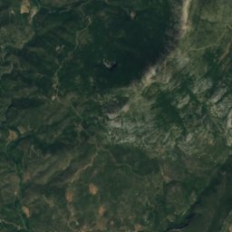
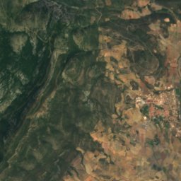
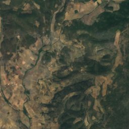
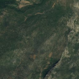
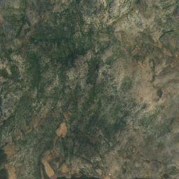
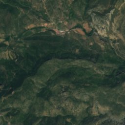
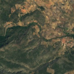
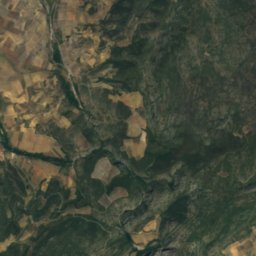
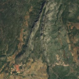
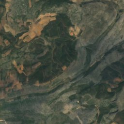
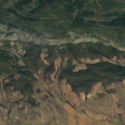
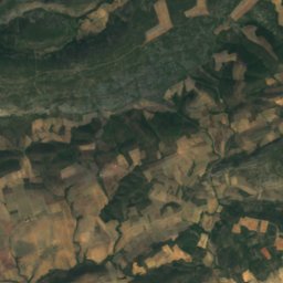
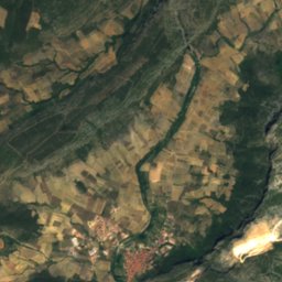
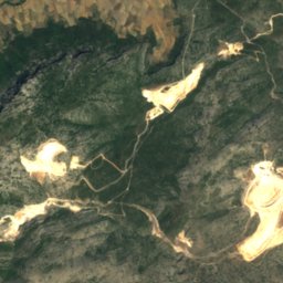
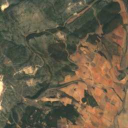
Satellite: Sentinel-2 cloudless 2016 by EOX IT Services GmbH · CC BY 4.0 · Contains modified Copernicus Sentinel data 2016

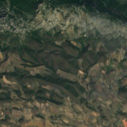
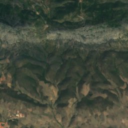
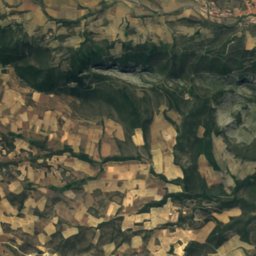
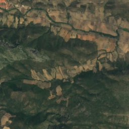
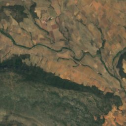
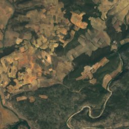
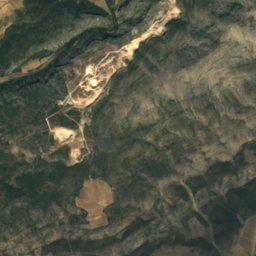
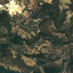
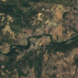
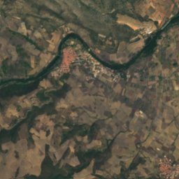
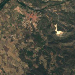
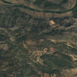
Satellite: Sentinel-2 cloudless 2016 by EOX IT Services GmbH · CC BY 4.0 · Contains modified Copernicus Sentinel data 2016
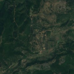
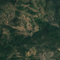
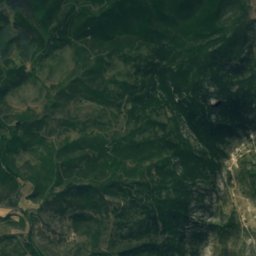
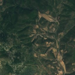
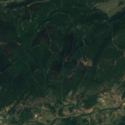
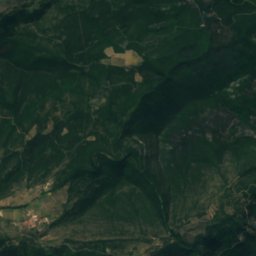
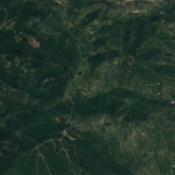
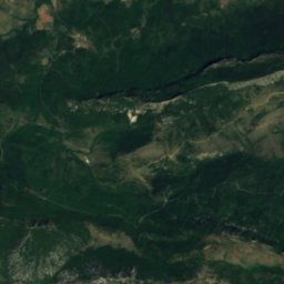
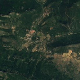
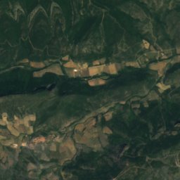
Satellite: Sentinel-2 cloudless 2016 by EOX IT Services GmbH · CC BY 4.0 · Contains modified Copernicus Sentinel data 2016

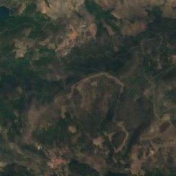
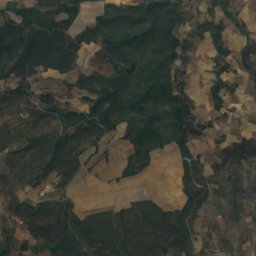
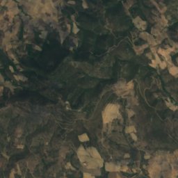
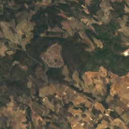
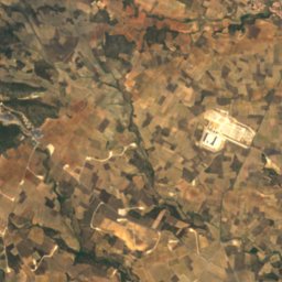
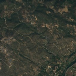
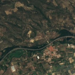
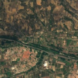
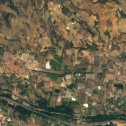
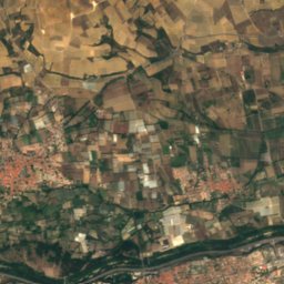
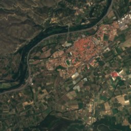
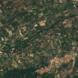
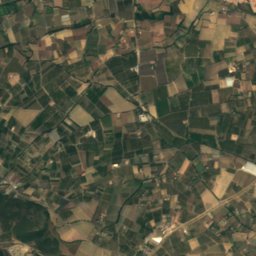
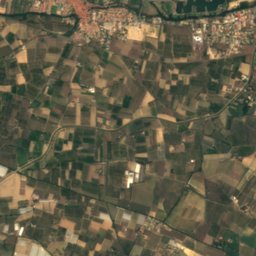
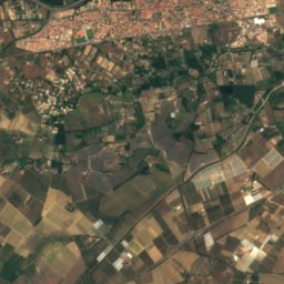
Satellite: Sentinel-2 cloudless 2016 by EOX IT Services GmbH · CC BY 4.0 · Contains modified Copernicus Sentinel data 2016
Summits nearbyMountains of France


Stay nearby
Towns close by

Photo: pl:Wikipedysta:Admirał Bum Admirał Bang · CC BY 2.5 · Wikimedia CommonsReport this photo · linked, not stored
Vingrau
Occitanie · 2.1 km NE
20°Oct high
8wet days
76score


Around here
Vingrau and around
Photo: pl:Wikipedysta:Admirał Bum Admirał Bang · CC BY 2.5 · Wikimedia CommonsReport this photo · linked, not stored
Vingrau
Occitanie · France
Apr · Jun · Sepbest months
29°July high
149 maltitude
Nature
Satellite: Sentinel-2 cloudless 2016 by EOX IT Services GmbH · CC BY 4.0 · Contains modified Copernicus Sentinel data 2016
Maury
River
Satellite: Sentinel-2 cloudless 2016 by EOX IT Services GmbH · CC BY 4.0 · Contains modified Copernicus Sentinel data 2016
Ribera de Vingrau
River
Mountains
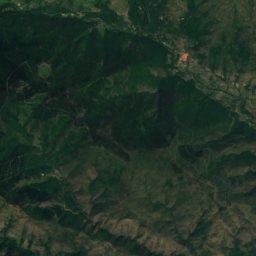
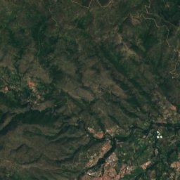
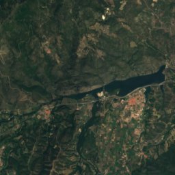
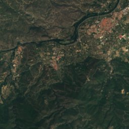
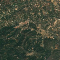
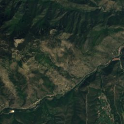
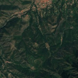
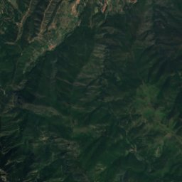
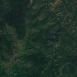
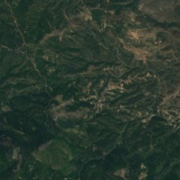
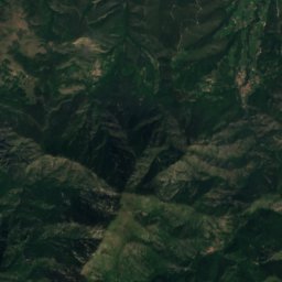
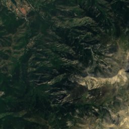
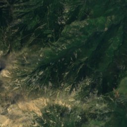
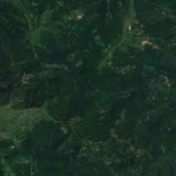
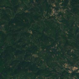
Satellite: Sentinel-2 cloudless 2016 by EOX IT Services GmbH · CC BY 4.0 · Contains modified Copernicus Sentinel data 2016
Roc Roig
1,682 m · Massís del Canigó
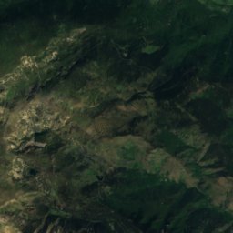
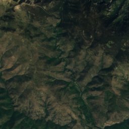
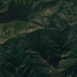
Satellite: Sentinel-2 cloudless 2016 by EOX IT Services GmbH · CC BY 4.0 · Contains modified Copernicus Sentinel data 2016
La Tronca
1,459 m · Massís del Canigó
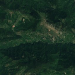
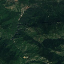
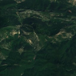
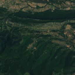
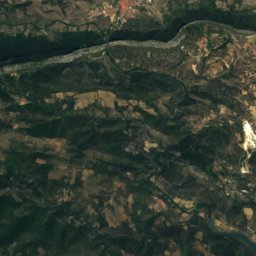
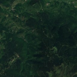
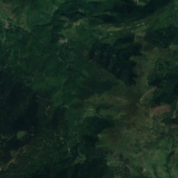
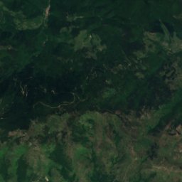
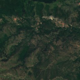
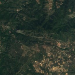
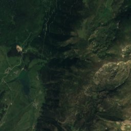
Satellite: Sentinel-2 cloudless 2016 by EOX IT Services GmbH · CC BY 4.0 · Contains modified Copernicus Sentinel data 2016
Roc de les Quaranta Creus
1,356 m
Heritage

Photo: Albert Sarola Juanola · CC BY-SA 3.0 · Wikimedia CommonsReport this photo · linked, not stored
Fort de Salses
classified historical monument · 1497


Museums



Satellite: Sentinel-2 cloudless 2016 by EOX IT Services GmbH · CC BY 4.0 · Contains modified Copernicus Sentinel data 2016