Skip to content
Destinations
Weather & climate
Nature
Outdoors
Culture
Events
Sky & live
Andrable
Photo: Saintenitouche · CC BY-SA 4.0 · Wikimedia Commons
AndrableReport this photo · linked, not stored
Ance
Photo: Savant-fou · CC BY-SA 3.0 · Wikimedia Commons
AnceReport this photo · linked, not stored
Ance
Lignon du Velay
Photo: Havang(nl) · CC0 · Wikimedia Commons
Lignon du VelayReport this photo · linked, not stored
Lignon du Velay
Grotte de Cottier
Photo: The original uploader was Goug at French Wikipedia. · CC BY-SA 3.0 · Wikimedia Commons
Grotte de CottierReport this photo · linked, not stored
Grotte de Cottier
Dunière, Auvergne-Rhône-Alpes
Photo: Havang(nl) · CC0 · Wikimedia Commons
Dunière, Auvergne-Rhône-AlpesReport this photo · linked, not stored
Dunière, Auvergne-Rhône-Alpes
RiverBeauzac, Auvergne-Rhône-Alpes

Andrable

River472 m elevationBest Jun · Aug–Sep
Elevation472 mabove sea level
Length34 kmsource to mouth
Nearest townBeauzac3.0 km
45.28° N, 4.07° EElevation 472 mUTC+2 · Central European Summer Time
When to goBeauzac · weather score
JanFebMarAprMayJunJulAugSepOctNovDec65October
Best timeJun · Aug–Sep
October: high / low17° / 7°
River

Andrable in brief

Andrable is a river in Beauzac, Auvergne-Rhône-Alpes, France.

It lies at 472 m above sea level.

The nearest town in the atlas is Beauzac, 3.0 km to the SE, where the weather is best in June, August and September.

Andrable is 34 km long.

Beauzac: weather and travel guide

Weather nearby now

Forecast for Beauzac
14°
Cloudy now
Wind6 km/h
Humidity65%
Cloud cover100%
Today
22 Oct
15°
3°
Fri
23 Oct
14°
7°
3 mm
Sat
24 Oct
14°
5°
Sun
25 Oct
17°
8°
1 mm
Mon
26 Oct
20°
8°
2 mm

Model run 00:00 UTCRefreshed several times a day

When to go

The best months around Andrable

Climate of Beauzac

Month score in Beauzac

Comfort, dry days and sunshine · out of 100
27
Jan
34
Feb
44
Mar
60
Apr
67
May
71
Jun
69
Jul
70
Aug
80
Sep
65
Oct
30
Nov
27
Dec
Map

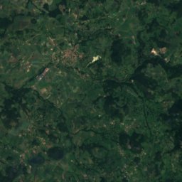
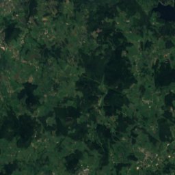
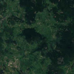
Andrable from above

Nature nearbyAll of France
Photo: Savant-fou · CC BY-SA 3.0 · Wikimedia CommonsReport this photo · linked, not stored
AnceRiver4.0 kmEAnce
Photo: Havang(nl) · CC0 · Wikimedia CommonsReport this photo · linked, not stored
Lignon du VelayRiver6.2 kmELignon du Velay
Photo: The original uploader was Goug at French Wikipedia. · CC BY-SA 3.0 · Wikimedia CommonsReport this photo · linked, not stored
Grotte de CottierCave8.2 kmSWGrotte de Cottier
Photo: Havang(nl) · CC0 · Wikimedia CommonsReport this photo · linked, not stored
Dunière, Auvergne-Rhône-AlpesRiver10 kmSEDunière, Auvergne-Rhône-Alpes
Photo: Jean-Louis Delegue · CC BY-SA 3.0 · Wikimedia CommonsReport this photo · linked, not stored
Dunière (rivière de l'Ardèche)River10 kmSEDunière (rivière de l'Ardèche)
Photo: Havang(nl) · CC0 · Wikimedia CommonsReport this photo · linked, not stored
ArzonRiver16 kmSWArzon
Summits nearbyMountains of France
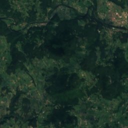
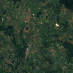
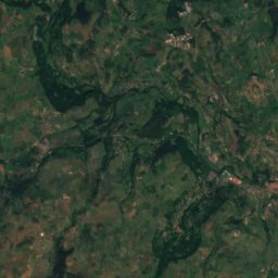
Satellite: Sentinel-2 cloudless 2016 by EOX IT Services GmbH · CC BY 4.0 · Contains modified Copernicus Sentinel data 2016
Le Ranc21 km S1,255 mJuly 22°Le Ranc
Photo: Totozz43 · CC BY-SA 4.0 · Wikimedia CommonsReport this photo · linked, not stored
Suc de Montaigu21 km S1,240 mJuly 22°Suc de Montaigu
Photo: Berrucomons · CC BY-SA 3.0 · Wikimedia CommonsReport this photo · linked, not stored
Suc du Mounier24 km SE1,208 mJuly 22°Suc du Mounier
Photo: Torsade de Pointes · Public domain · Wikimedia CommonsReport this photo · linked, not stored
Suc de Jorance18 km S1,186 mJuly 23°Suc de Jorance
Photo: Marie-Lan Nguyen · CC BY 4.0 · Wikimedia CommonsReport this photo · linked, not stored
Suc des Ollières19 km S1,186 mJuly 23°Suc des Ollières
Photo: Totozz43 · CC BY-SA 4.0 · Wikimedia CommonsReport this photo · linked, not stored
Suc de Bellecombe20 km S1,174 mJuly 23°Suc de Bellecombe
Stay nearby

Towns close by

Beauzac
Photo: Torsade de Pointes · Public domain · Wikimedia CommonsReport this photo · linked, not stored

Beauzac

Auvergne-Rhône-Alpes · 3.0 km SE
17°Oct high
10wet days
65score
Beauzac
Valprivas
Photo: Daniel VILLAFRUELA · CC BY-SA 3.0 · Wikimedia CommonsReport this photo · linked, not stored

Valprivas

Auvergne-Rhône-Alpes · 4.3 km NW
15°Oct high
10wet days
55score
Valprivas
Bas-en-Basset
Photo: Jérôme Marcon · CC BY-SA 3.0 · Wikimedia CommonsReport this photo · linked, not stored

Bas-en-Basset

Auvergne-Rhône-Alpes · 4.3 km NE
17°Oct high
10wet days
69score
Bas-en-Basset
Solignac-sous-Roche
Photo: Malosse · CC BY-SA 4.0 · Wikimedia CommonsReport this photo · linked, not stored

Solignac-sous-Roche

Auvergne-Rhône-Alpes · 6.5 km SW
16°Oct high
10wet days
58score
Solignac-sous-Roche
Around here

Beauzac and around

Beauzac
Photo: Torsade de Pointes · Public domain · Wikimedia CommonsReport this photo · linked, not stored

Beauzac

Auvergne-Rhône-Alpes · France
Jun · Aug–Sepbest months
27°July high
557 maltitude
Beauzac

Nature

Lignon du Velay
Photo: Havang(nl) · CC0 · Wikimedia CommonsReport this photo · linked, not stored
3.6 km E

Lignon du Velay

River
Lignon du Velay
Ance
Photo: Savant-fou · CC BY-SA 3.0 · Wikimedia CommonsReport this photo · linked, not stored
3.9 km NE

Ance

River · 447 m
Ance
Dunière (rivière de l'Ardèche)
Photo: Jean-Louis Delegue · CC BY-SA 3.0 · Wikimedia CommonsReport this photo · linked, not stored
7.1 km SE

Dunière (rivière de l'Ardèche)

River · 543 m
Dunière (rivière de l'Ardèche)

Mountains

Mount Mézenc
Photo: PRA · CC BY 2.5 · Wikimedia CommonsReport this photo · linked, not stored
39 km S

Mount Mézenc

1,753 m · massif du Mézenc
Mount Mézenc
Mont d'Alambre
Photo: MOSSOT · CC BY-SA 4.0 · Wikimedia CommonsReport this photo · linked, not stored
38 km S

Mont d'Alambre

1,691 m · massif du Mézenc
Mont d'Alambre
Mont Signon
Photo: Scientif38 · CC BY-SA 4.0 · Wikimedia CommonsReport this photo · linked, not stored
35 km S

Mont Signon

1,455 m
Mont Signon

Heritage

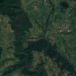
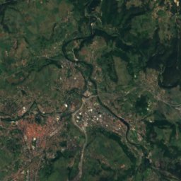
Satellite: Sentinel-2 cloudless 2016 by EOX IT Services GmbH · CC BY 4.0 · Contains modified Copernicus Sentinel data 2016
0.1 km NE

Église Saint-Jean de Beauzac

classified historical monument
Église Saint-Jean de Beauzac
Sauve-Benite Abbey
Photo: Philippe43 · Public domain · Wikimedia CommonsReport this photo · linked, not stored
12 km E

Sauve-Benite Abbey

monument historique inscrit
Sauve-Benite Abbey
Château des Évêques-du-Puy
Photo: Torsade de Pointes · Public domain · Wikimedia CommonsReport this photo · linked, not stored
6.6 km NE

Château des Évêques-du-Puy

monument historique inscrit
Château des Évêques-du-Puy

Museums

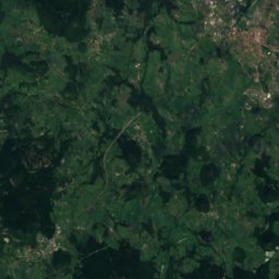
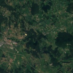
Satellite: Sentinel-2 cloudless 2016 by EOX IT Services GmbH · CC BY 4.0 · Contains modified Copernicus Sentinel data 2016
8.0 km SW

Musée des manufactures de dentelle

Musée des manufactures de dentelle