Skip to content
Destinations
Weather & climate
Nature
Outdoors
Culture
Events
Sky & live
Aigues
Photo: M.Minderhoud · CC BY-SA 3.0 · Wikimedia Commons
AiguesReport this photo · linked, not stored
Île de la Piboulette
Photo: Véronique PAGNIER · Public domain · Wikimedia Commons
Île de la PibouletteReport this photo · linked, not stored
Île de la Piboulette
Meyne
Photo: Véronique PAGNIER · Public domain · Wikimedia Commons
MeyneReport this photo · linked, not stored
Meyne
Tave
Photo: Vi..Cult... · CC BY-SA 3.0 · Wikimedia Commons
TaveReport this photo · linked, not stored
Tave
Île de Miémar
Photo: Neptune19 · CC BY-SA 3.0 · Wikimedia Commons
Île de MiémarReport this photo · linked, not stored
Île de Miémar
RiverMontfaucon, Occitanie

Aigues

River29 m elevationBest Apr · Sep–Oct
Elevation29 mabove sea level
Length114 kmsource to mouth
Nearest townMontfaucon2.1 km
44.09° N, 4.74° EElevation 29 mUTC+2 · Central European Summer Time
When to goMontfaucon · weather score
JanFebMarAprMayJunJulAugSepOctNovDec75October
Best timeApr · Sep–Oct
October: high / low21° / 11°
River

Aigues in brief

Aigues is a river in Montfaucon, Occitanie, France.

It lies at 29 m above sea level.

The nearest town in the atlas is Montfaucon, 2.1 km to the SE, where the weather is best in April, September and October.

Aigues is 114 km long.

Montfaucon: weather and travel guide

Weather nearby now

Forecast for Montfaucon
17°
Partly cloudy now
Wind9 km/h
Humidity58%
Cloud cover59%
Today
22 Oct
17°
9°
Fri
23 Oct
20°
11°
Sat
24 Oct
16°
10°
Sun
25 Oct
19°
8°
Mon
26 Oct
21°
12°

Model run 00:00 UTCRefreshed several times a day

The course of the river

As mapped in OpenStreetMap, with the towns of the atlas along its banks.
sourcemouth (or where the mapped line leaves the country)
When to go

The best months around Aigues

Climate of Montfaucon

Month score in Montfaucon

Comfort, dry days and sunshine · out of 100
39
Jan
54
Feb
73
Mar
77
Apr
74
May
66
Jun
57
Jul
56
Aug
79
Sep
75
Oct
55
Nov
40
Dec
Map

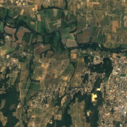
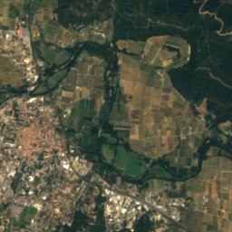
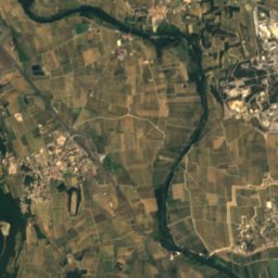
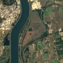
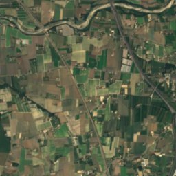
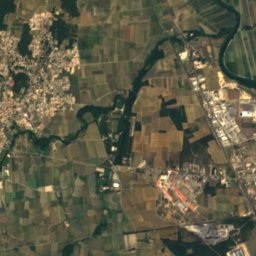
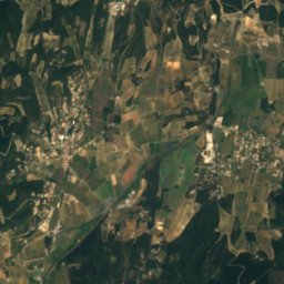
Aigues from above

Nature nearbyAll of France
Photo: Véronique PAGNIER · Public domain · Wikimedia CommonsReport this photo · linked, not stored
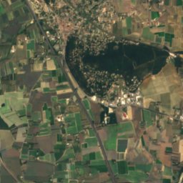
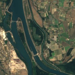
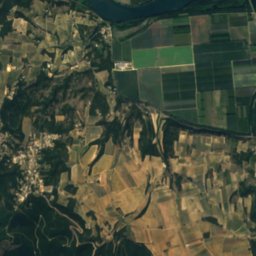
Île de la PibouletteIsland2.1 kmNWÎle de la Piboulette
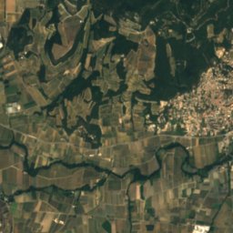
Satellite: Sentinel-2 cloudless 2016 by EOX IT Services GmbH · CC BY 4.0 · Contains modified Copernicus Sentinel data 2016
CèzeRiver3.5 kmNWCèze
Photo: Véronique PAGNIER · Public domain · Wikimedia CommonsReport this photo · linked, not stored
MeyneRiver3.6 kmSEMeyne
Photo: Vi..Cult... · CC BY-SA 3.0 · Wikimedia CommonsReport this photo · linked, not stored
TaveRiver4.3 kmNWTave
Photo: Neptune19 · CC BY-SA 3.0 · Wikimedia CommonsReport this photo · linked, not stored
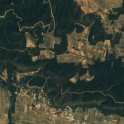
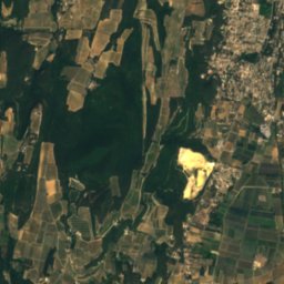
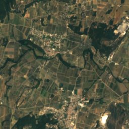
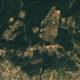
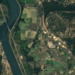
Île de MiémarIsland4.5 kmSEÎle de Miémar
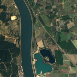
Satellite: Sentinel-2 cloudless 2016 by EOX IT Services GmbH · CC BY 4.0 · Contains modified Copernicus Sentinel data 2016
Île du ColombierIsland7.0 kmNÎle du Colombier
Stay nearby

Towns close by

Montfaucon
Photo: Neptune19 · CC BY-SA 3.0 · Wikimedia CommonsReport this photo · linked, not stored

Montfaucon

Occitanie · 2.1 km SE
21°Oct high
10wet days
75score
Montfaucon
Caderousse
Photo: Véronique PAGNIER · CC BY-SA 3.0 · Wikimedia CommonsReport this photo · linked, not stored

Caderousse

Provence-Alpes-Côte d'Azur · 2.3 km NE
21°Oct high
10wet days
75score
Caderousse
Saint-Geniès-de-Comolas
Photo: Vi..Cult... · CC BY-SA 3.0 · Wikimedia CommonsReport this photo · linked, not stored

Saint-Geniès-de-Comolas

Occitanie · 2.9 km SW
21°Oct high
10wet days
75score
Saint-Geniès-de-Comolas
Saint-Laurent-des-Arbres
Photo: Vi..Cult... · CC BY-SA 3.0 · Wikimedia CommonsReport this photo · linked, not stored

Saint-Laurent-des-Arbres

Occitanie · 4.8 km SW
20°Oct high
10wet days
75score
Saint-Laurent-des-Arbres
Around here

Montfaucon and around

Montfaucon
Photo: Neptune19 · CC BY-SA 3.0 · Wikimedia CommonsReport this photo · linked, not stored

Montfaucon

Occitanie · France
Apr · Sep–Octbest months
32°July high
34 maltitude
Montfaucon

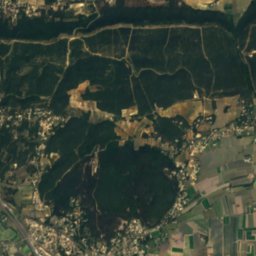
Nature

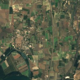
Satellite: Sentinel-2 cloudless 2016 by EOX IT Services GmbH · CC BY 4.0 · Contains modified Copernicus Sentinel data 2016
5.5 km NW

Cèze

River · 28 m
Cèze
Meyne
Photo: Véronique PAGNIER · Public domain · Wikimedia CommonsReport this photo · linked, not stored
1.8 km E

Meyne

River
Meyne
Tave
Photo: Vi..Cult... · CC BY-SA 3.0 · Wikimedia CommonsReport this photo · linked, not stored
6.4 km NW

Tave

River
Tave

Mountains

Mont Bouquet
Photo: Lau- · CC BY-SA 3.0 · Wikimedia CommonsReport this photo · linked, not stored
38 km W

Mont Bouquet

629 m · Massif Central
Mont Bouquet
La Caume
Photo: Anthospace · CC BY-SA 3.0 · Wikimedia CommonsReport this photo · linked, not stored
36 km S

La Caume

387 m · Alpilles
La Caume
Mont Gaussier
Photo: Malost · CC BY-SA 3.0 · Wikimedia CommonsReport this photo · linked, not stored
35 km S

Mont Gaussier

306 m · Alpilles
Mont Gaussier

Heritage

Digue de Caderousse
Photo: GAllegre · CC BY-SA 3.0 · Wikimedia CommonsReport this photo · linked, not stored
2.8 km N

Digue de Caderousse

monument historique inscrit · 1866
Digue de Caderousse
Église Saint-Michel de Caderousse
Photo: Véronique PAGNIER · Public domain · Wikimedia CommonsReport this photo · linked, not stored
3.0 km N

Église Saint-Michel de Caderousse

classified historical monument
Église Saint-Michel de Caderousse
Triumphal Arch of Orange
Photo: Xavier D'ABRIGEON · CC BY-SA 4.0 · Wikimedia CommonsReport this photo · linked, not stored
8.6 km NE

Triumphal Arch of Orange

classified historical monument · 100 BC
Triumphal Arch of Orange

Museums

Calvet Museum
Photo: Shoshanah · CC BY 2.0 · Wikimedia CommonsReport this photo · linked, not stored
15 km S

Calvet Museum

Art museum · 1811
Calvet Museum
Musée du Petit Palais
Photo: Herbert Frank from Wien (Vienna), AT · CC BY 2.0 · Wikimedia CommonsReport this photo · linked, not stored
14 km S

Musée du Petit Palais

Art museum · 1976
Musée du Petit Palais
Muséum Requien
Photo: Marianne Casamance · CC BY-SA 4.0 · Wikimedia CommonsReport this photo · linked, not stored
15 km S

Muséum Requien

Muséum Requien