Skip to content
Destinations
Weather & climate
Nature
Outdoors
Culture
Events
Sky & live
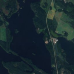
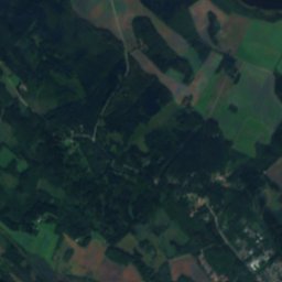
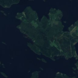
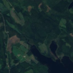
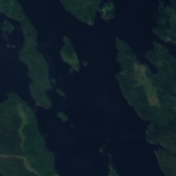
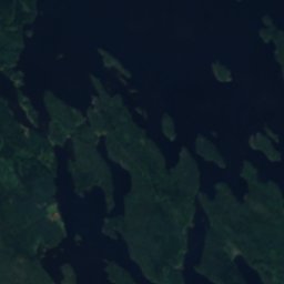
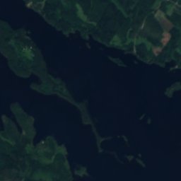
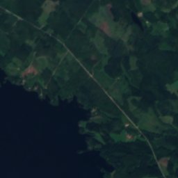
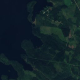
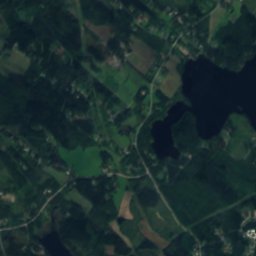
Satellite: Sentinel-2 cloudless 2016 by EOX IT Services GmbH · CC BY 4.0 · Contains modified Copernicus Sentinel data 2016
IslandVarkaus, North Savo

Tasko

IslandBest Jun–Aug
Elevation–above sea level
Area–surface
Nearest townVarkaus9.2 km
62.39° N, 27.93° EUTC+2 · Eastern European Standard Time
When to goVarkaus · weather score
JanFebMarAprMayJunJulAugSepOctNovDec13October
Best timeJun–Aug
October: high / low7° / 2°
Island

Tasko in brief

Tasko is an island in Varkaus, North Savo, Finland.

The nearest town is Varkaus, 9.2 km to the S, where the weather is best in June, July and August.

Varkaus: weather and travel guide

Weather nearby now

Forecast for Varkaus
9°
Cloudy now
Wind17 km/h
Humidity91%
Cloud cover88%
Today
27 Oct
12°
8°
1 mm
Wed
28 Oct
11°
7°
1 mm
Thu
29 Oct
11°
6°
1 mm
Fri
30 Oct
8°
6°
2 mm
Sat
31 Oct
7°
4°
1 mm

Model run 12:00 UTCRefreshed several times a day

When to go

The best months around Tasko

Climate of Varkaus

Month score in Varkaus

Comfort, dry days and sunshine · out of 100
Map

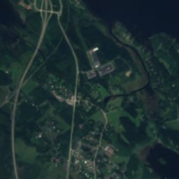
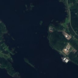
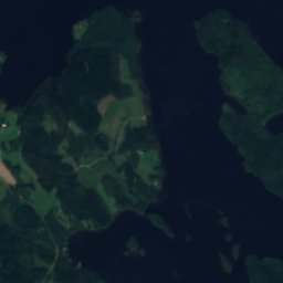
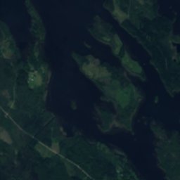
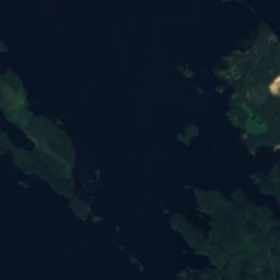
Tasko from above

Nature nearbyAll of Finland
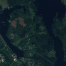
Satellite: Sentinel-2 cloudless 2016 by EOX IT Services GmbH · CC BY 4.0 · Contains modified Copernicus Sentinel data 2016
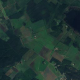
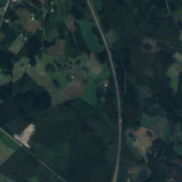
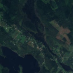
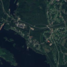
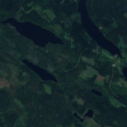
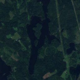
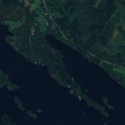
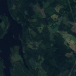
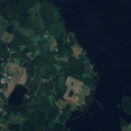
Tattari, North SavoIsland0.2 kmSETattari, North Savo
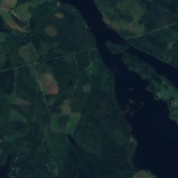
Satellite: Sentinel-2 cloudless 2016 by EOX IT Services GmbH · CC BY 4.0 · Contains modified Copernicus Sentinel data 2016
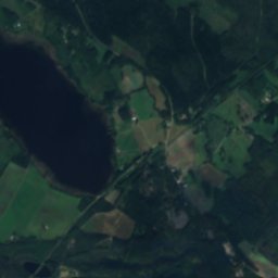
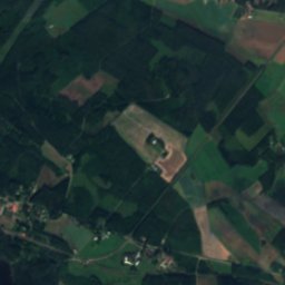
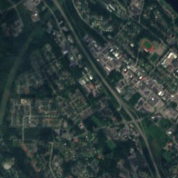
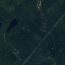
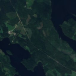
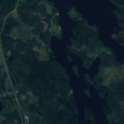
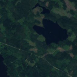
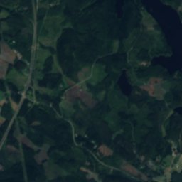
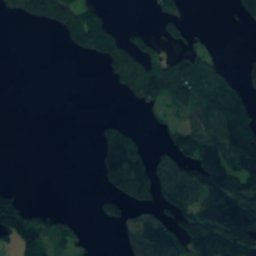
SääminginsaariIsland0.4 kmSESääminginsaari
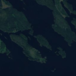
Satellite: Sentinel-2 cloudless 2016 by EOX IT Services GmbH · CC BY 4.0 · Contains modified Copernicus Sentinel data 2016
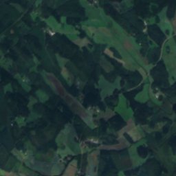
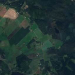
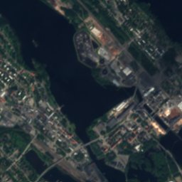
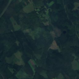
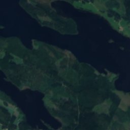
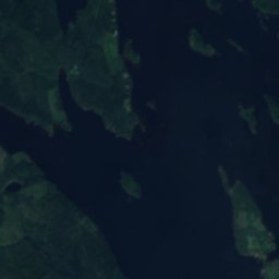
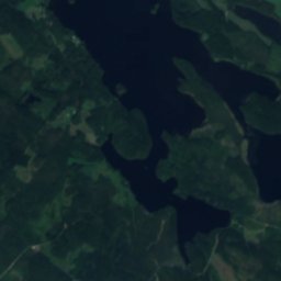
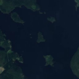
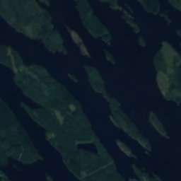
Sikosaari, VarkausIsland0.7 kmSSikosaari, Varkaus
Satellite: Sentinel-2 cloudless 2016 by EOX IT Services GmbH · CC BY 4.0 · Contains modified Copernicus Sentinel data 2016
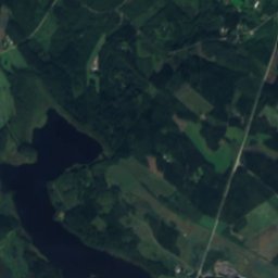
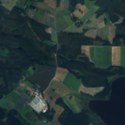
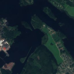
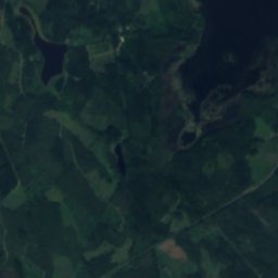
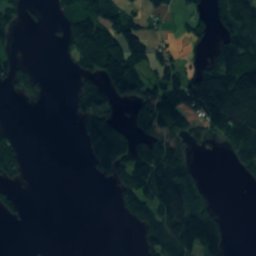
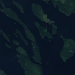
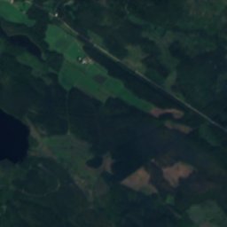
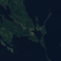
Lauttasaari, North SavoIsland0.7 kmNWLauttasaari, North Savo
Satellite: Sentinel-2 cloudless 2016 by EOX IT Services GmbH · CC BY 4.0 · Contains modified Copernicus Sentinel data 2016
Tervassalo, VarkausIsland0.9 kmNETervassalo, Varkaus
Satellite: Sentinel-2 cloudless 2016 by EOX IT Services GmbH · CC BY 4.0 · Contains modified Copernicus Sentinel data 2016
Pieni VuosaariIsland0.9 kmNWPieni Vuosaari
Stay nearby

Towns close by

Varkaus
Photo: Tiia Monto · CC BY-SA 4.0 · Wikimedia CommonsReport this photo · linked, not stored

Varkaus

North Savo · 9.2 km S
7°Oct high
14wet days
13score
Varkaus
Leppävirta
Photo: Onkivesj · CC BY-SA 4.0 · Wikimedia CommonsReport this photo · linked, not stored

Leppävirta

North Savo · 13 km NW
7°Oct high
14wet days
13score
Leppävirta
Kangaslampi
Photo: Paju~commonswiki · CC BY-SA 3.0 · Wikimedia CommonsReport this photo · linked, not stored

Kangaslampi

North Savo · 20 km SE
7°Oct high
17wet days
13score
Kangaslampi
Joroinen
Photo: A333 · CC BY-SA 3.0 · Wikimedia CommonsReport this photo · linked, not stored

Joroinen

North Savo · 24 km S
7°Oct high
14wet days
13score
Joroinen
Around here

Varkaus and around

Varkaus
Photo: Tiia Monto · CC BY-SA 4.0 · Wikimedia CommonsReport this photo · linked, not stored

Varkaus

North Savo · Finland
Jun–Augbest months
22°July high
76 maltitude
Varkaus

Nature

Unnukka
Photo: Antti Leppänen · CC BY-SA 3.0 · Wikimedia CommonsReport this photo · linked, not stored
12 km N

Unnukka

Lake · 81 m
Unnukka
Satellite: Sentinel-2 cloudless 2016 by EOX IT Services GmbH · CC BY 4.0 · Contains modified Copernicus Sentinel data 2016
11 km S

Valvatus

Lake · 78 m
Valvatus
Satellite: Sentinel-2 cloudless 2016 by EOX IT Services GmbH · CC BY 4.0 · Contains modified Copernicus Sentinel data 2016
3.2 km S

Mula

Lake · 78 m
Mula

Heritage
Satellite: Sentinel-2 cloudless 2016 by EOX IT Services GmbH · CC BY 4.0 · Contains modified Copernicus Sentinel data 2016
1.8 km E

Varkaus Central Church

church-protected building · 1939
Varkaus Central Church
Taipale canal
Photo: Motopark · Public domain · Wikimedia CommonsReport this photo · linked, not stored
2.4 km SE

Taipale canal

Cultural Heritage Site of National Significance
Taipale canal
Varkaus Paper Mills
Photo: Tiia Monto · CC BY-SA 3.0 · Wikimedia CommonsReport this photo · linked, not stored
1.2 km E

Varkaus Paper Mills

Cultural Heritage Site of National Significance
Varkaus Paper Mills

Museums

Mechanical Music Museum
Photo: Paju~commonswiki · CC BY-SA 3.0 · Wikimedia CommonsReport this photo · linked, not stored
2.0 km SW

Mechanical Music Museum

1981
Mechanical Music Museum
Varkaus Museums
Photo: Paju~commonswiki · CC BY-SA 4.0 · Wikimedia CommonsReport this photo · linked, not stored
0.8 km E

Varkaus Museums

Art museum
Varkaus Museums
Satellite: Sentinel-2 cloudless 2016 by EOX IT Services GmbH · CC BY 4.0 · Contains modified Copernicus Sentinel data 2016
2.5 km SE

Taipale Museum Canal

Taipale Museum Canal