















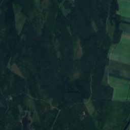
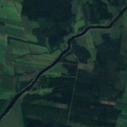
Satellite: Sentinel-2 cloudless 2016 by EOX IT Services GmbH · CC BY 4.0 · Contains modified Copernicus Sentinel data 2016
IslandKristinestad, Ostrobothnia
Stackgrund
IslandBest Jun–Aug
Elevation–above sea level
Area0.0 km²surface
Nearest townKristinestad3.3 km
62.28° N, 21.31° EUTC+2 · Eastern European Standard Time
When to goKristinestad · weather score
Best timeJun–Aug
October: high / low8° / 2°
Island
Stackgrund in brief
Stackgrund is an island in Kristinestad, Ostrobothnia, Finland.
It covers about 0.0 km².
The nearest town is Kristinestad, 3.3 km to the E, where the weather is best in June, July and August.
Weather nearby now
Forecast for Kristinestad11°
Cloudy now
Today
27 Oct
12°
8°
Wed
28 Oct
12°
7°
2 mm
Thu
29 Oct
10°
6°
1 mm
Fri
30 Oct
10°
5°
2 mm
Sat
31 Oct
8°
4°
Model run 00:00 UTCRefreshed several times a day
Map
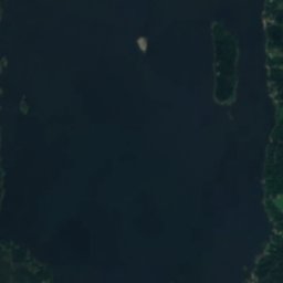
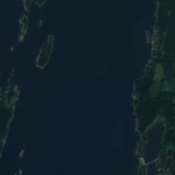
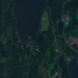
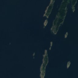
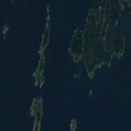
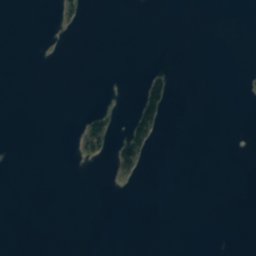
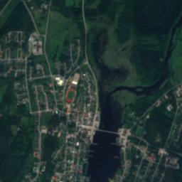
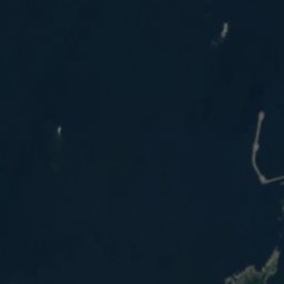
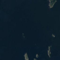
Stackgrund from above
Nature nearbyAll of Finland
Satellite: Sentinel-2 cloudless 2016 by EOX IT Services GmbH · CC BY 4.0 · Contains modified Copernicus Sentinel data 2016
Satellite: Sentinel-2 cloudless 2016 by EOX IT Services GmbH · CC BY 4.0 · Contains modified Copernicus Sentinel data 2016
Satellite: Sentinel-2 cloudless 2016 by EOX IT Services GmbH · CC BY 4.0 · Contains modified Copernicus Sentinel data 2016
Satellite: Sentinel-2 cloudless 2016 by EOX IT Services GmbH · CC BY 4.0 · Contains modified Copernicus Sentinel data 2016
Satellite: Sentinel-2 cloudless 2016 by EOX IT Services GmbH · CC BY 4.0 · Contains modified Copernicus Sentinel data 2016
Satellite: Sentinel-2 cloudless 2016 by EOX IT Services GmbH · CC BY 4.0 · Contains modified Copernicus Sentinel data 2016
Stay nearby
Towns close by


Around here
Kristinestad and around
Nature
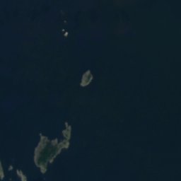
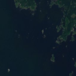
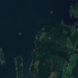
Satellite: Sentinel-2 cloudless 2016 by EOX IT Services GmbH · CC BY 4.0 · Contains modified Copernicus Sentinel data 2016
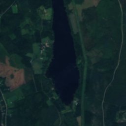
Härkmerifjärden
Lake
Satellite: Sentinel-2 cloudless 2016 by EOX IT Services GmbH · CC BY 4.0 · Contains modified Copernicus Sentinel data 2016
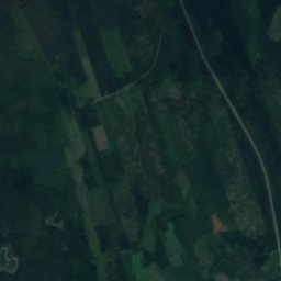
Lappfjärd river
River · 5 m
Heritage
Satellite: Sentinel-2 cloudless 2016 by EOX IT Services GmbH · CC BY 4.0 · Contains modified Copernicus Sentinel data 2016
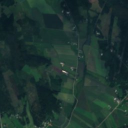
Kristinestad Church
church-protected building · 1897


Museums

Satellite: Sentinel-2 cloudless 2016 by EOX IT Services GmbH · CC BY 4.0 · Contains modified Copernicus Sentinel data 2016
Frank Mangs Center


Satellite: Sentinel-2 cloudless 2016 by EOX IT Services GmbH · CC BY 4.0 · Contains modified Copernicus Sentinel data 2016
Kaskinen Museum
Local museum in Finland · 1974