







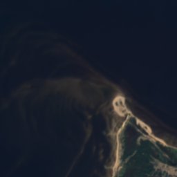







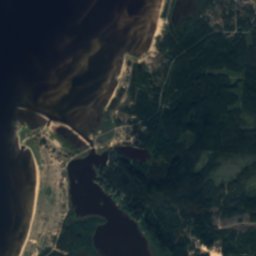







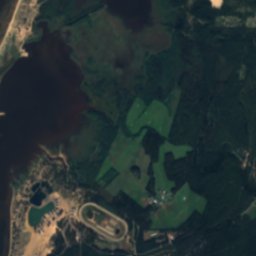



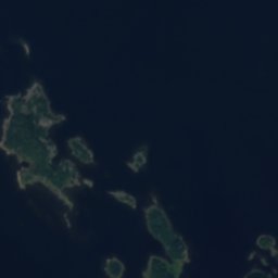


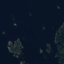
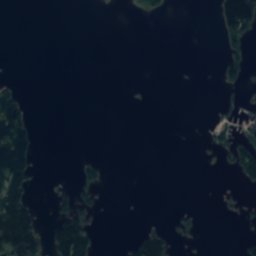
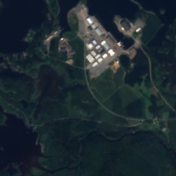
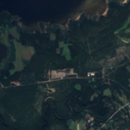
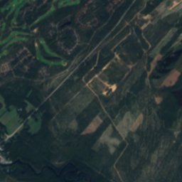
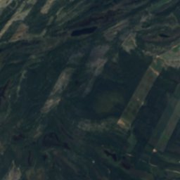

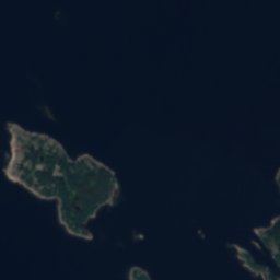
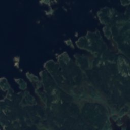
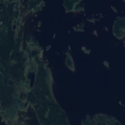
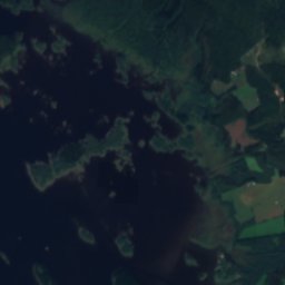
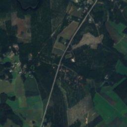
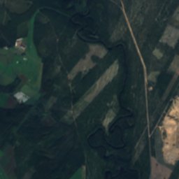
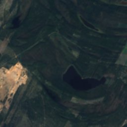
Satellite: Sentinel-2 cloudless 2016 by EOX IT Services GmbH · CC BY 4.0 · Contains modified Copernicus Sentinel data 2016
IslandKalajoki, North Ostrobothnia
Pullo
IslandBest Jun–Aug
Elevation–above sea level
Area–surface
Nearest townKalajoki14 km
64.23° N, 23.66° EUTC+2 · Eastern European Standard Time
When to goKalajoki · weather score
Best timeJun–Aug
October: high / low7° / 1°
Island
Pullo in brief
Pullo is an island in Kalajoki, North Ostrobothnia, Finland.
The nearest town is Kalajoki, 14 km to the E, where the weather is best in June, July and August.
Weather nearby now
Forecast for Kalajoki9°
Cloudy now
Today
26 Oct
12°
8°
2 mm
Tue
27 Oct
12°
8°
4 mm
Wed
28 Oct
13°
9°
Thu
29 Oct
11°
6°
Fri
30 Oct
10°
6°
Model run 12:00 UTCRefreshed several times a day
Map
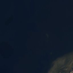
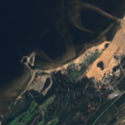
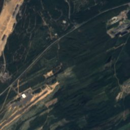
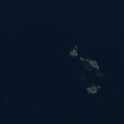
Pullo from above
Nature nearbyAll of Finland
Satellite: Sentinel-2 cloudless 2016 by EOX IT Services GmbH · CC BY 4.0 · Contains modified Copernicus Sentinel data 2016
Satellite: Sentinel-2 cloudless 2016 by EOX IT Services GmbH · CC BY 4.0 · Contains modified Copernicus Sentinel data 2016
Satellite: Sentinel-2 cloudless 2016 by EOX IT Services GmbH · CC BY 4.0 · Contains modified Copernicus Sentinel data 2016
Satellite: Sentinel-2 cloudless 2016 by EOX IT Services GmbH · CC BY 4.0 · Contains modified Copernicus Sentinel data 2016
Satellite: Sentinel-2 cloudless 2016 by EOX IT Services GmbH · CC BY 4.0 · Contains modified Copernicus Sentinel data 2016
Satellite: Sentinel-2 cloudless 2016 by EOX IT Services GmbH · CC BY 4.0 · Contains modified Copernicus Sentinel data 2016
Stay nearby
Towns close by


Photo: Minnecologies at English Wikipedia · CC BY-SA 3.0 · Wikimedia CommonsReport this photo · linked, not stored
Himanka
North Ostrobothnia · 19 km S
7°Oct high
16wet days
15score


Around here
Kalajoki and around
Nature


Photo: Dave_S. from Witney, England · CC BY 2.0 · Wikimedia CommonsReport this photo · linked, not stored
Vääräjoki
River · 32 m


