
Photo: Simo Räsänen · CC BY-SA 4.0 · Wikimedia Commons
KeravanjokiReport this photo · linked, not stored
KeravanjokiReport this photo · linked, not stored

Photo: Joneikifi · CC BY-SA 4.0 · Wikimedia Commons
KuninkaankartanonsaariReport this photo · linked, not stored
KuninkaankartanonsaariKuninkaankartanonsaariReport this photo · linked, not stored

Photo: Coen · CC BY-SA 4.0 · Wikimedia Commons
Kuusiluoto, PihlajamäkiReport this photo · linked, not stored
Kuusiluoto, PihlajamäkiKuusiluoto, PihlajamäkiReport this photo · linked, not stored

Photo: MattiPaavola · CC BY-SA 3.0 · Wikimedia Commons
StrömberginkoskiReport this photo · linked, not stored
StrömberginkoskiStrömberginkoskiReport this photo · linked, not stored
RiverTammisto, Uusimaa
Keravanjoki
RiverBest May–Jul
Elevation–above sea level
Length65 kmsource to mouth
Nearest townTammisto1.4 km
60.26° N, 24.97° EUTC+3 · Eastern European Summer Time
When to goTammisto · weather score
Best timeMay–Jul
October: high / low9° / 3°
River
Keravanjoki in brief
Keravanjoki is a river in Tammisto, Uusimaa, Finland.
The nearest town in the atlas is Tammisto, 1.4 km to the NW, where the weather is best in May, June and July.
Keravanjoki is 65 km long.
Weather nearby now
Forecast for Tammisto10°
Partly cloudy now
Today
22 Oct
12°
8°
Fri
23 Oct
12°
9°
2 mm
Sat
24 Oct
12°
9°
5 mm
Sun
25 Oct
12°
8°
Mon
26 Oct
11°
8°
8 mm
Model run 00:00 UTCRefreshed several times a day
The course of the river
As mapped in OpenStreetMap, with the towns of the atlas along its banks.- 1Kellokoski62 m
- 2Kerava54 m
- 3Nikinmäki35 m
- 4Mikkola37 m
- 5Metsola46 m
- 6Asola30 m
- 7Havukoski31 m
- 8Itä-Hakkila41 m
- 9Simonkylä27 m
- 10Vantaa18 m
- 11Kuninkaala18 m
- 12Tapulikaupunki16 m
- 13Viertola13 m
- 14Tammisto25 m
sourcemouth (or where the mapped line leaves the country)
When to go
Climate of TammistoThe best months around Keravanjoki
Month score in Tammisto
Comfort, dry days and sunshine · out of 10013
Jan
20
Feb
26
Mar
31
Apr
66
May
70
Jun
67
Jul
66
Aug
54
Sep
19
Oct
11
Nov
11
Dec
Map
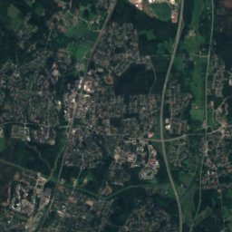
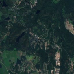
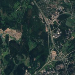
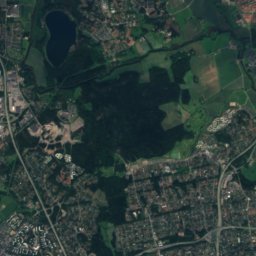
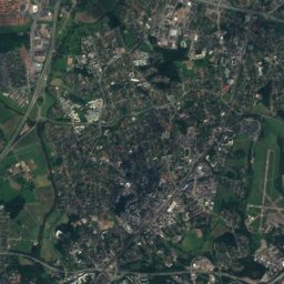
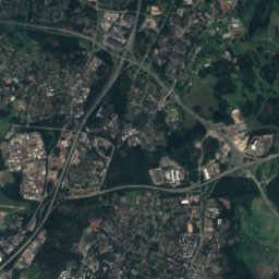
Keravanjoki from above
Nature nearbyAll of Finland

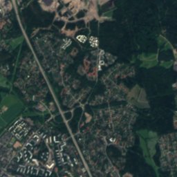
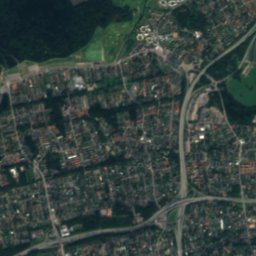
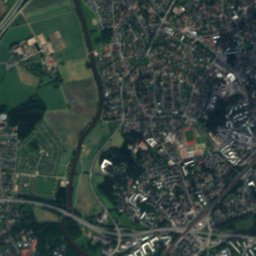
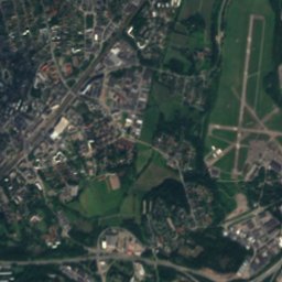
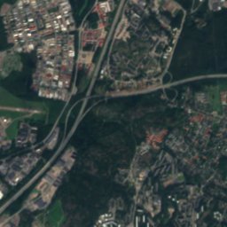
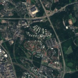
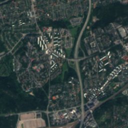
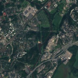
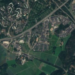
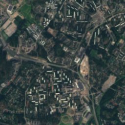
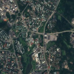
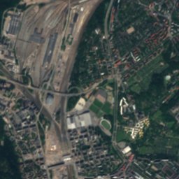
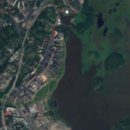
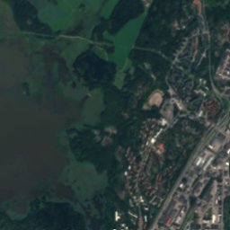
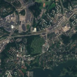
Satellite: Sentinel-2 cloudless 2016 by EOX IT Services GmbH · CC BY 4.0 · Contains modified Copernicus Sentinel data 2016
Satellite: Sentinel-2 cloudless 2016 by EOX IT Services GmbH · CC BY 4.0 · Contains modified Copernicus Sentinel data 2016
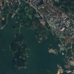
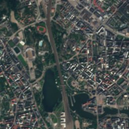
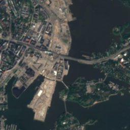
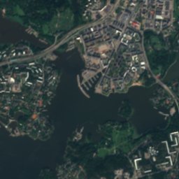
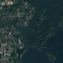
Satellite: Sentinel-2 cloudless 2016 by EOX IT Services GmbH · CC BY 4.0 · Contains modified Copernicus Sentinel data 2016


Stay nearby
Towns close by
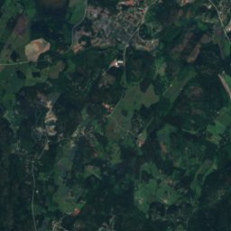
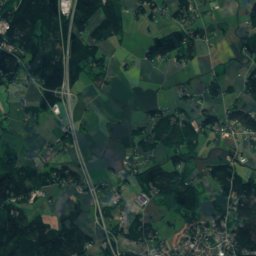
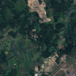
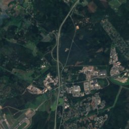
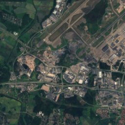
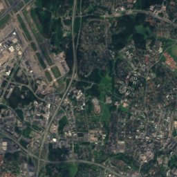
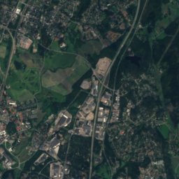
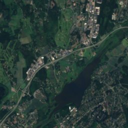
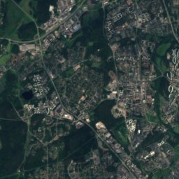
Satellite: Sentinel-2 cloudless 2016 by EOX IT Services GmbH · CC BY 4.0 · Contains modified Copernicus Sentinel data 2016
Tammisto
Uusimaa · 1.4 km NW
9°Oct high
13wet days
19score


Around here
Tammisto and around
Nature


Photo: Ximonic (Simo Räsänen) · CC BY-SA 3.0 · Wikimedia CommonsReport this photo · linked, not stored
Gumböle träsk
Lake · 34 m
Heritage


Helsingin pitäjän kirkonkylä
Cultural Heritage Site of National Significance
Museums



Satellite: Sentinel-2 cloudless 2016 by EOX IT Services GmbH · CC BY 4.0 · Contains modified Copernicus Sentinel data 2016
Helsinge Parish Museum
Local museum in Finland

Photo: Finnish National Gallery · CC BY-SA 4.0 · Wikimedia CommonsReport this photo · linked, not stored

Ateneum
Art museum · 1887