Skip to content
Destinations
Weather & climate
Nature
Outdoors
Culture
Events
Sky & live
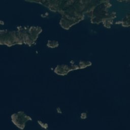
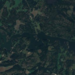
Satellite: Sentinel-2 cloudless 2016 by EOX IT Services GmbH · CC BY 4.0 · Contains modified Copernicus Sentinel data 2016
IslandHoutskär, Southwest Finland

Häplot

Island15 m elevationBest Jun–Aug
Elevation15 mabove sea level
Area0.4 km²surface
Nearest townHoutskär5.3 km
60.18° N, 21.42° EElevation 15 mUTC+3 · Eastern European Summer Time
When to goHoutskär · weather score
JanFebMarAprMayJunJulAugSepOctNovDec19October
Best timeJun–Aug
October: high / low10° / 6°
Island

Häplot in brief

Häplot is an island in Houtskär, Southwest Finland, Finland.

It lies at 15 m above sea level and covers about 0.4 km².

The nearest town is Houtskär, 5.3 km to the NW, where the weather is best in June, July and August.

Houtskär: weather and travel guide

Weather nearby now

Forecast for Houtskär
11°
Cloudy now
Wind36 km/h
Humidity86%
Cloud cover70%
Today
24 Oct
12°
9°
1 mm
Sun
25 Oct
12°
10°
3 mm
Mon
26 Oct
12°
10°
7 mm
Tue
27 Oct
12°
9°
Wed
28 Oct
12°
10°
6 mm

Model run 00:00 UTCRefreshed several times a day

When to go

The best months around Häplot

Climate of Houtskär

Month score in Houtskär

Comfort, dry days and sunshine · out of 100
14
Jan
24
Feb
30
Mar
30
Apr
49
May
75
Jun
67
Jul
66
Aug
59
Sep
19
Oct
14
Nov
14
Dec
Map

Häplot from above

Nature nearbyAll of Finland
Satellite: Sentinel-2 cloudless 2016 by EOX IT Services GmbH · CC BY 4.0 · Contains modified Copernicus Sentinel data 2016
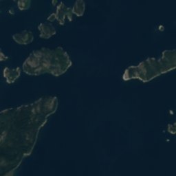
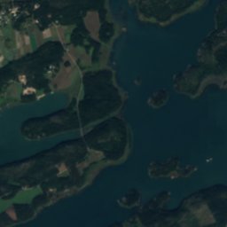
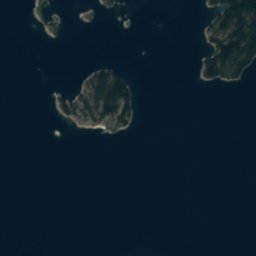
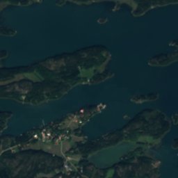
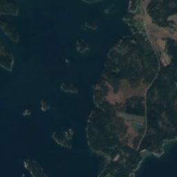
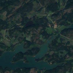
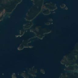
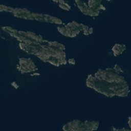
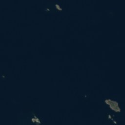
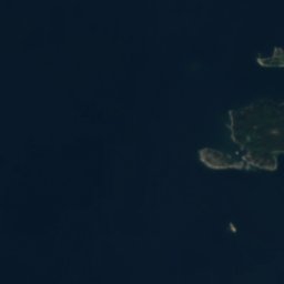
SmådörenIsland0.3 kmSWSmådören
Satellite: Sentinel-2 cloudless 2016 by EOX IT Services GmbH · CC BY 4.0 · Contains modified Copernicus Sentinel data 2016
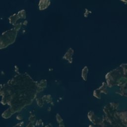
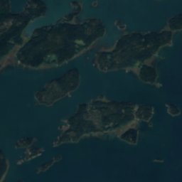
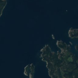
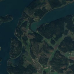
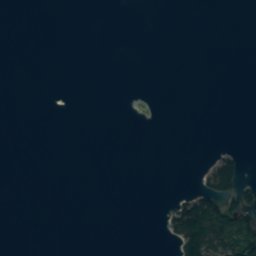
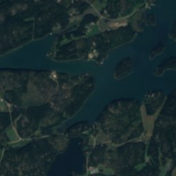
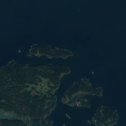
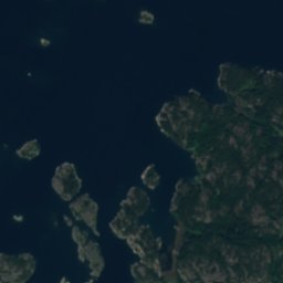
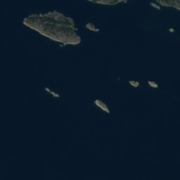
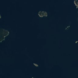
VolotIsland0.5 kmSVolot
Satellite: Sentinel-2 cloudless 2016 by EOX IT Services GmbH · CC BY 4.0 · Contains modified Copernicus Sentinel data 2016
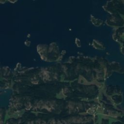
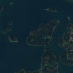
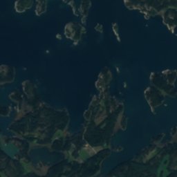
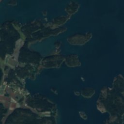
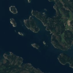
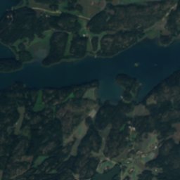
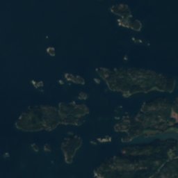
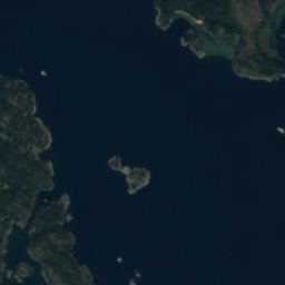
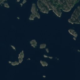
KapenkareIsland0.5 kmNEKapenkare
Satellite: Sentinel-2 cloudless 2016 by EOX IT Services GmbH · CC BY 4.0 · Contains modified Copernicus Sentinel data 2016
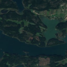
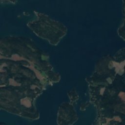
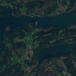
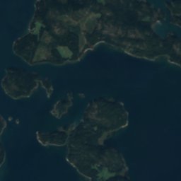
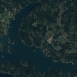
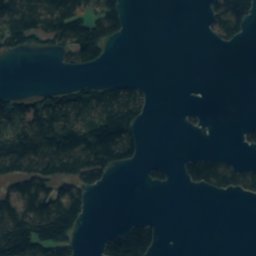
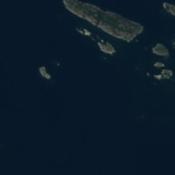
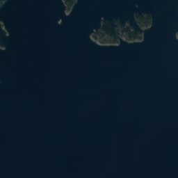
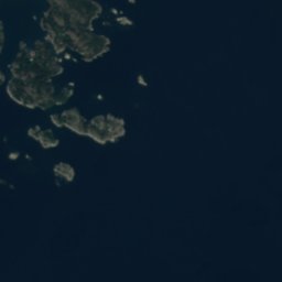
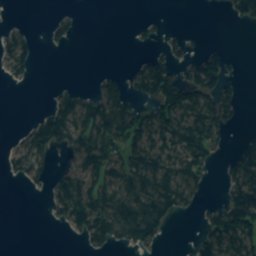
KråkholmIsland1.2 kmSWKråkholm
Satellite: Sentinel-2 cloudless 2016 by EOX IT Services GmbH · CC BY 4.0 · Contains modified Copernicus Sentinel data 2016
VikenLake1.3 kmNViken
Satellite: Sentinel-2 cloudless 2016 by EOX IT Services GmbH · CC BY 4.0 · Contains modified Copernicus Sentinel data 2016
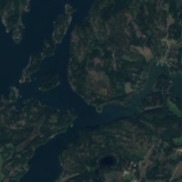
TvetiskärIsland1.5 kmSETvetiskär
Stay nearby

Towns close by

Houtskär
Photo: BishkekRocks · CC BY-SA 3.0 · Wikimedia CommonsReport this photo · linked, not stored

Houtskär

Southwest Finland · 5.3 km NW
10°Oct high
16wet days
19score
Houtskär
Korpo
Photo: Västgöten · CC BY 3.0 · Wikimedia CommonsReport this photo · linked, not stored

Korpo

Southwest Finland · 7.9 km E
10°Oct high
16wet days
19score
Korpo
Iniö
Photo: kallerna · CC BY-SA 4.0 · Wikimedia CommonsReport this photo · linked, not stored

Iniö

Southwest Finland · 24 km N
9°Oct high
16wet days
18score
Iniö
Nagu
Photo: Ekhoc · CC BY-SA 2.0 · Wikimedia CommonsReport this photo · linked, not stored

Nagu

Southwest Finland · 27 km E
10°Oct high
13wet days
20score
Nagu
Around here

Houtskär and around

Houtskär
Photo: BishkekRocks · CC BY-SA 3.0 · Wikimedia CommonsReport this photo · linked, not stored

Houtskär

Southwest Finland · Finland
Jun–Augbest months
20°July high
6 maltitude
Houtskär

Nature

Satellite: Sentinel-2 cloudless 2016 by EOX IT Services GmbH · CC BY 4.0 · Contains modified Copernicus Sentinel data 2016
2.8 km S

Gropen

Lake
Gropen
Satellite: Sentinel-2 cloudless 2016 by EOX IT Services GmbH · CC BY 4.0 · Contains modified Copernicus Sentinel data 2016
3.6 km SW

Träsket, Southwest Finland

Lake · 4 m
Träsket, Southwest Finland
Satellite: Sentinel-2 cloudless 2016 by EOX IT Services GmbH · CC BY 4.0 · Contains modified Copernicus Sentinel data 2016
4.2 km SE

Viken

Lake
Viken

Heritage

Satellite: Sentinel-2 cloudless 2016 by EOX IT Services GmbH · CC BY 4.0 · Contains modified Copernicus Sentinel data 2016
0.2 km N

Houtskär Church

church-protected building
Houtskär Church
Korpo Manor
Photo: Sibelius-museum · CC BY 4.0 · Wikimedia CommonsReport this photo · linked, not stored
12 km SE

Korpo Manor

Cultural Heritage Site of National Significance · 1650
Korpo Manor
Korpo Church
Photo: I, Västgöten · CC BY 2.5 · Wikimedia CommonsReport this photo · linked, not stored
13 km SE

Korpo Church

Cultural Heritage Site of National Significance
Korpo Church

Museums

Satellite: Sentinel-2 cloudless 2016 by EOX IT Services GmbH · CC BY 4.0 · Contains modified Copernicus Sentinel data 2016
0.2 km W

Houtskär Archipelago museum

Houtskär Archipelago museum
Korpo Local History Museum
Photo: Västgöten · CC BY 3.0 · Wikimedia CommonsReport this photo · linked, not stored
12 km SE

Korpo Local History Museum

Local museum in Finland
Korpo Local History Museum