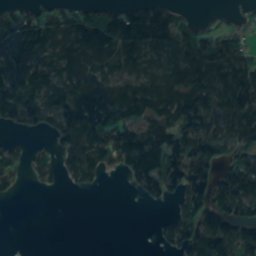
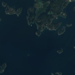
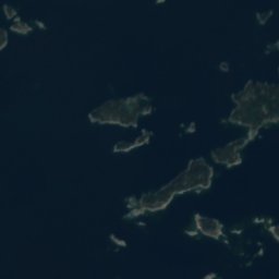
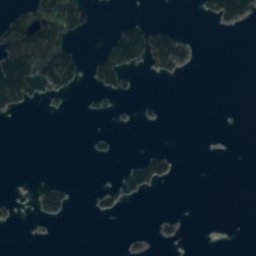
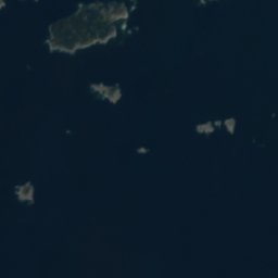
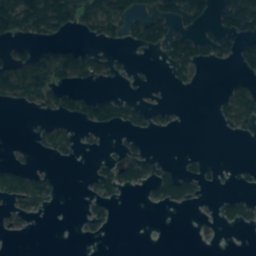









Satellite: Sentinel-2 cloudless 2016 by EOX IT Services GmbH · CC BY 4.0 · Contains modified Copernicus Sentinel data 2016
IslandDragsvik, Uusimaa
Hansesbådarna
IslandBest Jun–Aug
Elevation–above sea level
Area–surface
Nearest townDragsvik16 km
59.86° N, 23.60° EUTC+2 · Eastern European Standard Time
When to goDragsvik · weather score
Best timeJun–Aug
October: high / low9° / 4°
Island
Hansesbådarna in brief
Hansesbådarna is an island in Dragsvik, Uusimaa, Finland.
The nearest town is Dragsvik, 16 km to the N, where the weather is best in June, July and August.
Weather nearby now
Forecast for Dragsvik10°
Rain now
Today
26 Oct
12°
8°
6 mm
Tue
27 Oct
13°
9°
1 mm
Wed
28 Oct
12°
9°
1 mm
Thu
29 Oct
13°
4°
1 mm
Fri
30 Oct
9°
3°
Model run 12:00 UTCRefreshed several times a day
When to go
Climate of DragsvikThe best months around Hansesbådarna
Month score in Dragsvik
Comfort, dry days and sunshine · out of 10013
Jan
21
Feb
28
Mar
34
Apr
65
May
74
Jun
72
Jul
68
Aug
57
Sep
18
Oct
13
Nov
13
Dec
Map
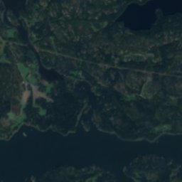
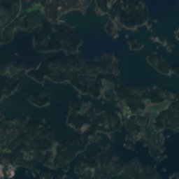
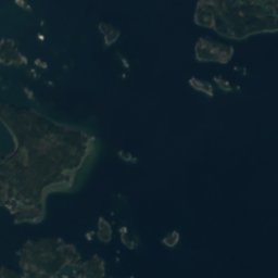
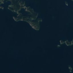
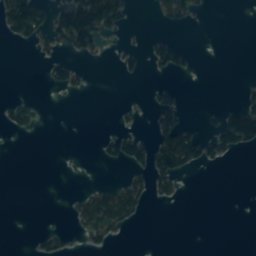
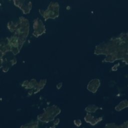
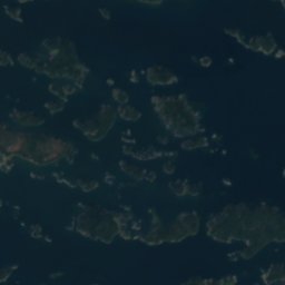
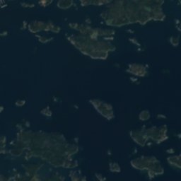
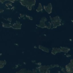
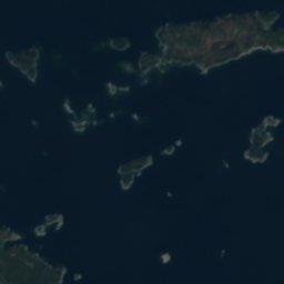
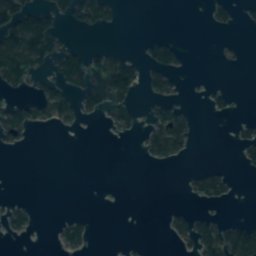
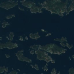
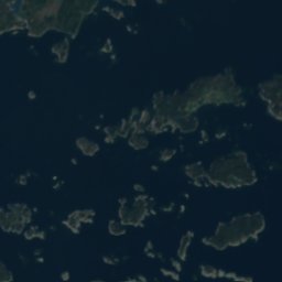
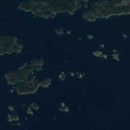
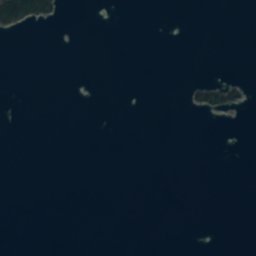
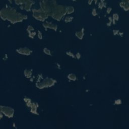
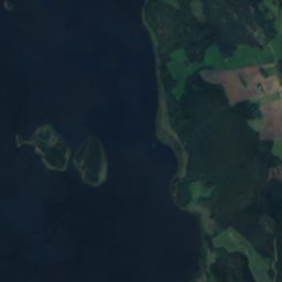
Hansesbådarna from above
Nature nearbyAll of Finland
Satellite: Sentinel-2 cloudless 2016 by EOX IT Services GmbH · CC BY 4.0 · Contains modified Copernicus Sentinel data 2016
Satellite: Sentinel-2 cloudless 2016 by EOX IT Services GmbH · CC BY 4.0 · Contains modified Copernicus Sentinel data 2016
Satellite: Sentinel-2 cloudless 2016 by EOX IT Services GmbH · CC BY 4.0 · Contains modified Copernicus Sentinel data 2016
Satellite: Sentinel-2 cloudless 2016 by EOX IT Services GmbH · CC BY 4.0 · Contains modified Copernicus Sentinel data 2016


Around here
Dragsvik and around
Nature
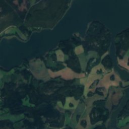
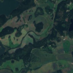
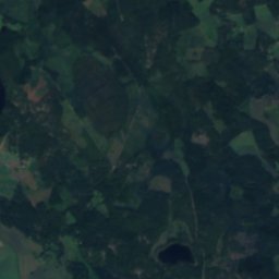
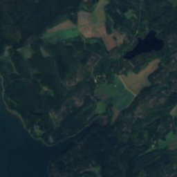
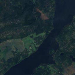
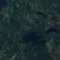
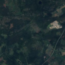
Satellite: Sentinel-2 cloudless 2016 by EOX IT Services GmbH · CC BY 4.0 · Contains modified Copernicus Sentinel data 2016
Gennarbyviken
Lake · 1 m
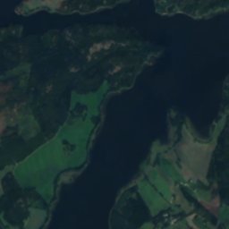
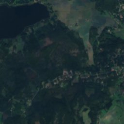
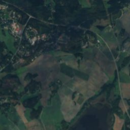
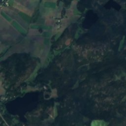
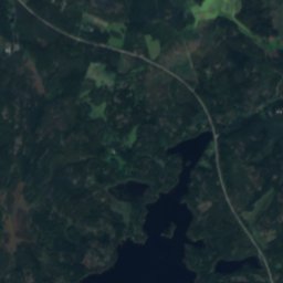
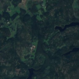
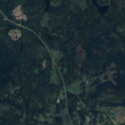
Satellite: Sentinel-2 cloudless 2016 by EOX IT Services GmbH · CC BY 4.0 · Contains modified Copernicus Sentinel data 2016
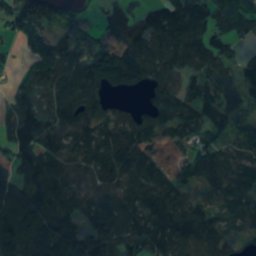
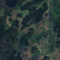
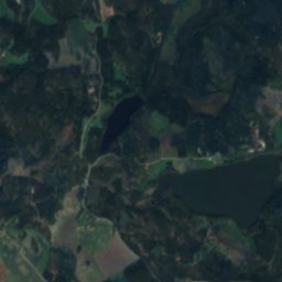
Grabbskog Storträsket
Lake · 25 m
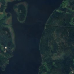
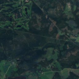
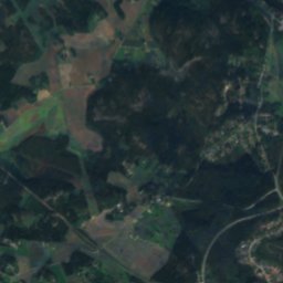
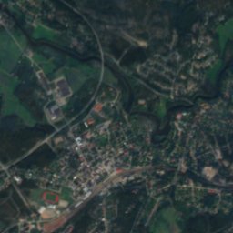
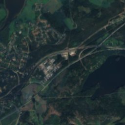
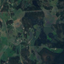
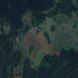
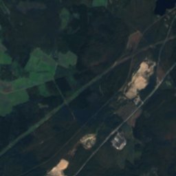
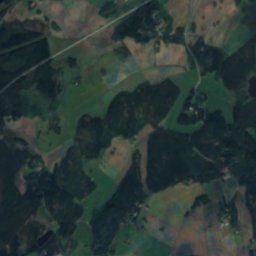
Satellite: Sentinel-2 cloudless 2016 by EOX IT Services GmbH · CC BY 4.0 · Contains modified Copernicus Sentinel data 2016
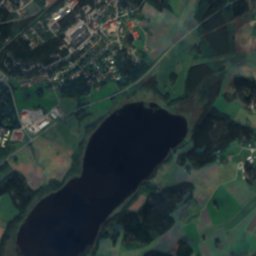
Läppträsket
Lake · 11 m
Heritage


Karis railway station
protected building in the Built Heritage Register · 1873

Museums




Satellite: Sentinel-2 cloudless 2016 by EOX IT Services GmbH · CC BY 4.0 · Contains modified Copernicus Sentinel data 2016
Västra Nylands landskapsmuseum
Cultural history museum · 1906



Satellite: Sentinel-2 cloudless 2016 by EOX IT Services GmbH · CC BY 4.0 · Contains modified Copernicus Sentinel data 2016
Forngården Museum
Open-air museum · 1958