











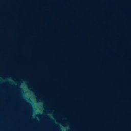




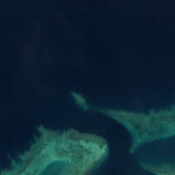
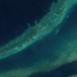
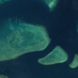

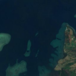
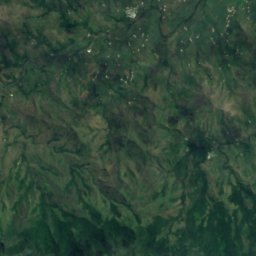
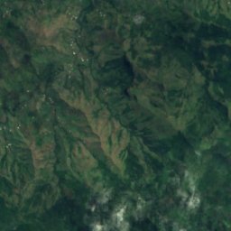
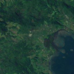
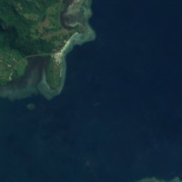
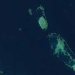
Satellite: Sentinel-2 cloudless 2016 by EOX IT Services GmbH · CC BY 4.0 · Contains modified Copernicus Sentinel data 2016
IslandVaileka, Western
Malake
IslandBest Jul–Sep
Elevation–above sea level
Area–surface
Nearest townVaileka6.6 km
17.32° S, 178.15° EUTC+12 · Fiji Standard Time
When to goVaileka · weather score
Best timeJul–Sep
October: high / low26° / 23°
Island
Malake in brief
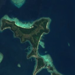
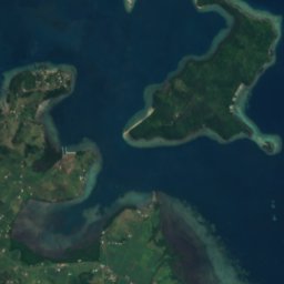
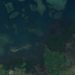
Malake is an island in Vaileka, Western, Fiji.
The nearest town is Vaileka, 6.6 km to the S, where the weather is best in July, August and September.
Weather nearby now
Forecast for Vaileka21°
Rain now
Today
25 Oct
27°
23°
Mon
26 Oct
26°
21°
3 mm
Tue
27 Oct
27°
20°
1 mm
Wed
28 Oct
25°
22°
1 mm
Thu
29 Oct
28°
19°
Model run 00:00 UTCRefreshed several times a day
Map
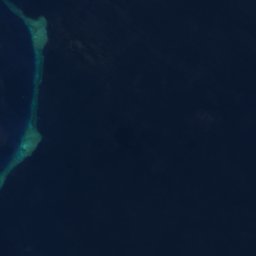
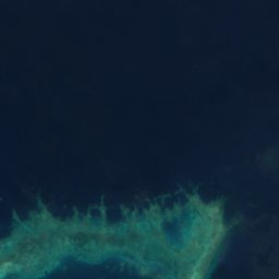
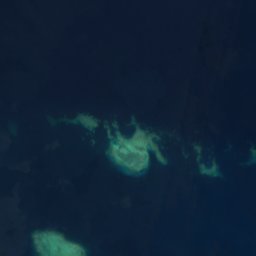
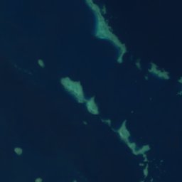
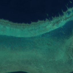
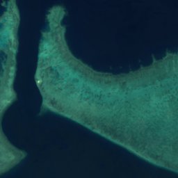
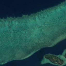
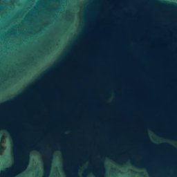
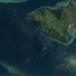
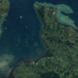
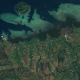
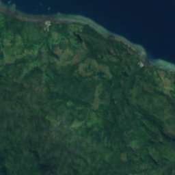
Malake from above
Nature nearbyAll of Fiji
Satellite: Sentinel-2 cloudless 2016 by EOX IT Services GmbH · CC BY 4.0 · Contains modified Copernicus Sentinel data 2016
Satellite: Sentinel-2 cloudless 2016 by EOX IT Services GmbH · CC BY 4.0 · Contains modified Copernicus Sentinel data 2016
Satellite: Sentinel-2 cloudless 2016 by EOX IT Services GmbH · CC BY 4.0 · Contains modified Copernicus Sentinel data 2016
Satellite: Sentinel-2 cloudless 2016 by EOX IT Services GmbH · CC BY 4.0 · Contains modified Copernicus Sentinel data 2016
Satellite: Sentinel-2 cloudless 2016 by EOX IT Services GmbH · CC BY 4.0 · Contains modified Copernicus Sentinel data 2016
Satellite: Sentinel-2 cloudless 2016 by EOX IT Services GmbH · CC BY 4.0 · Contains modified Copernicus Sentinel data 2016
Stay nearby
Towns close by

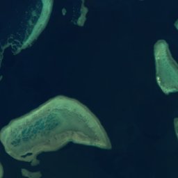
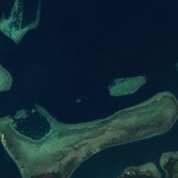
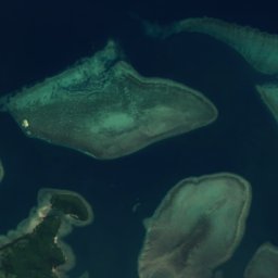
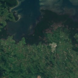
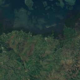
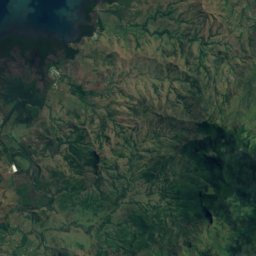
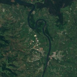
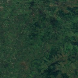
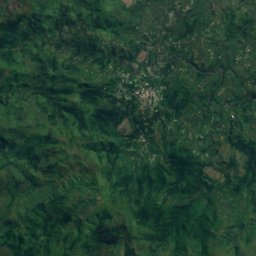
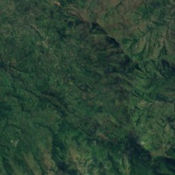
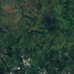
Around here
Vaileka and around
Nature
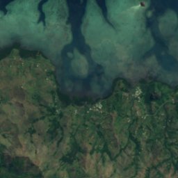
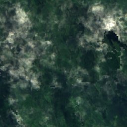
Satellite: Sentinel-2 cloudless 2016 by EOX IT Services GmbH · CC BY 4.0 · Contains modified Copernicus Sentinel data 2016
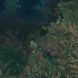
Penang River
River
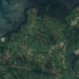
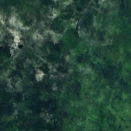
Satellite: Sentinel-2 cloudless 2016 by EOX IT Services GmbH · CC BY 4.0 · Contains modified Copernicus Sentinel data 2016
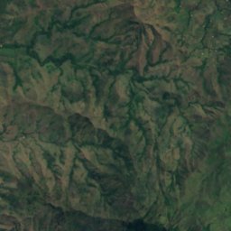
Nakauvandra River
River
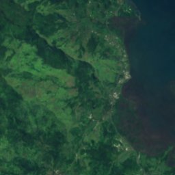
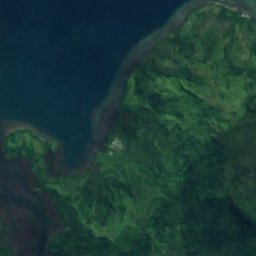
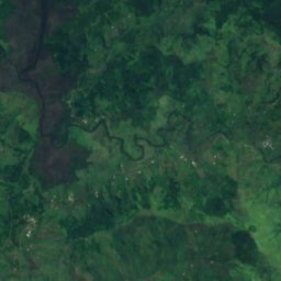
Satellite: Sentinel-2 cloudless 2016 by EOX IT Services GmbH · CC BY 4.0 · Contains modified Copernicus Sentinel data 2016
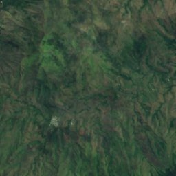
Rukuruku River
River


